Welcome to SP!  -   
 
  MbPost.com -- It's SP for Mountain Biking!
Areas & Ranges·Mountains & Rocks·Routes·Images·Articles·Trip Reports·Gear·Other·People·Plans & Partners·What's New·Forum

Cold Springs trailhead

 
[ Sizes: Orig | Med | Small | Thumb ]
Cold Springs trailhead
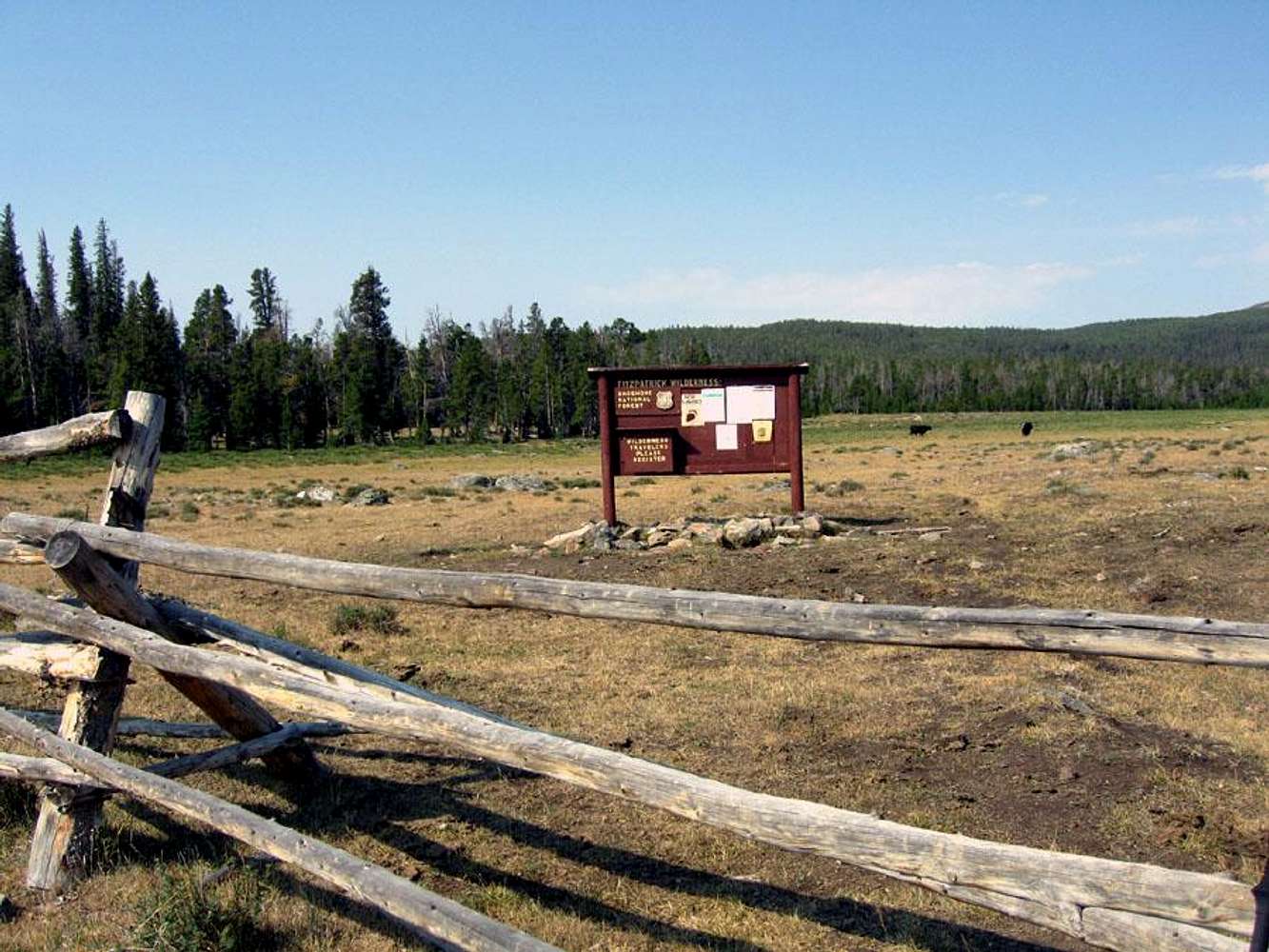
Trailhead beta: This USFS sign marks the beginning of the Dry Creek trail and boundary of the Fitzpatrick Wilderness Area from the Wind River Indian Reservation. Good camping and water access is available 1/2 mile south of the sign, through the small stand of trees to the left of this photo. A low-use trail and cairns lead to a stream and primative campsite.


Comments

No comments posted yet.


Sign in to post!

Don't have an account? Register now.


Rate This Image
Current Score: 53.42

Log In To Vote
 Cold Springs Trailhead (Trailhead)

Campsite near Cold Springs TH
« PREV

Viewing
#3 of 4
GALLERY
Crowheart Store
NEXT »

 Alpinist's Image Gallery

Floyd Wilson Meadows
« PREV

Viewing
#508 of 565
GALLERY
Mt Rainier, Western Rim
NEXT »


 Gannett Peak, the Easy Way (Trip Report)


Image Data

AlpinistSubmitted by Alpinist
on Jul 31, 2006 9:38 pm

Image ID: 211910
Hits: 1869 

Image Type(s): Informational


"To lovers of the wild, these mountains are not a hundred miles away. Their spiritual power and the goodness of the sky make them near, as a circle of friends."   --John Muir   

© 2006-2012 SummitPost.org. All Rights Reserved.