
|
|
Route |
|---|---|
|
|
45.97930°N / 11.02820°E |
|
|
Hiking |
|
|
Spring, Summer, Fall, Winter |
|
|
Most of a day |
|
|
EE |
|
|
Overview
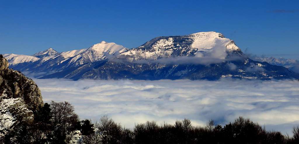
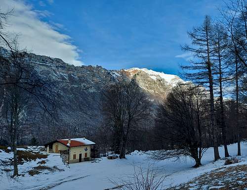
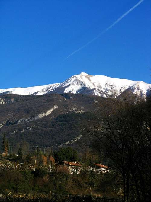
Cornetto Cronicello from Lago di Cei
Cornetto Cronicello 2180 m is one of the three summits of Monte Bondone (Cornetto m. 2180, Doss d’Abramo m. 2140 and Cima Verde m. 2102), a group located in the Southern part of Trentino. Among these summits Cornetto Cronicello is the southernmost and the highest one. Moreover it's the most frequently climbed of the small group. From its southern end the Bondone group branches off to the South West, originating a long crest, called Bondone-Stivo, leading to the top of Monte Stivo 2054 m., above the Garda Lake. Cornetto Cronicello or simply Cornetto, meaning “little horn”, is the highest peak lined up on this long ridge starting from Garda Lake and bordering to the West the Val Lagarina (Valle dell’Adige) and for this reason the views from the summit are great.
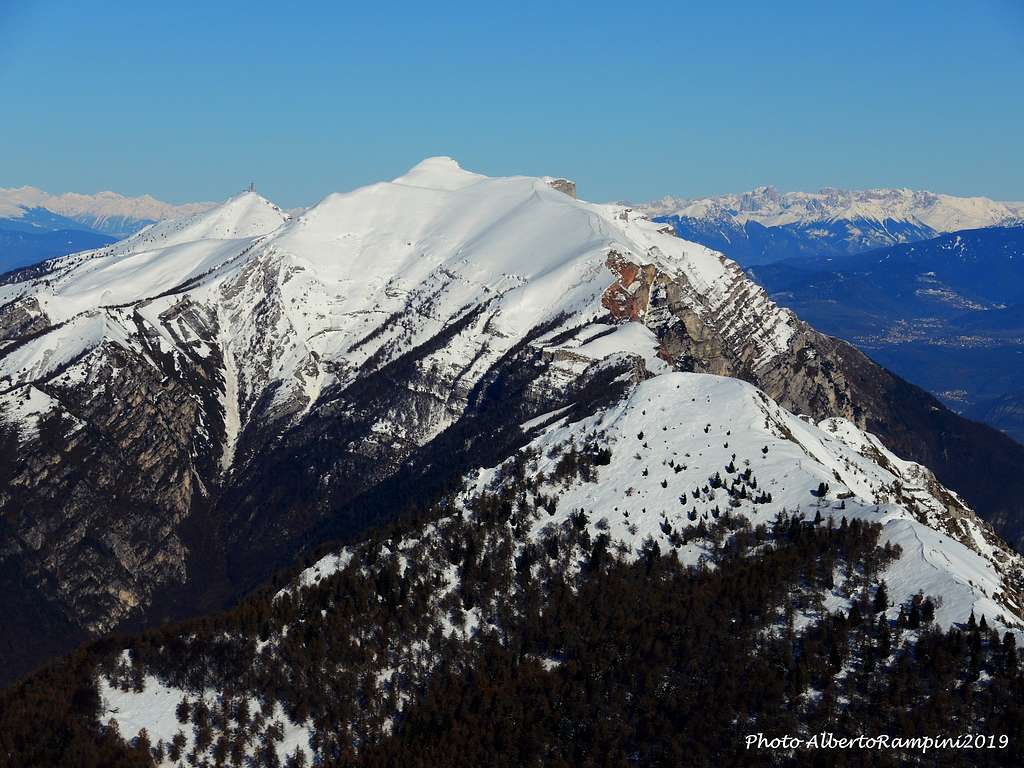
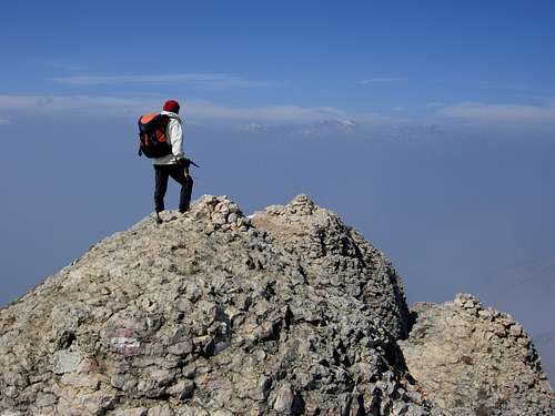
To the West the nearest peaks are the mighty rocky walls of Sarca Valley (Casale, Brento, Cima alle Coste), then behind those it follows the Brenta group and in the background the icy summits of the Adamello-Presanella group and Cevedale. To the East the Pasubio and Piccole Dolomiti. To the North the Dolomites and the icy groups on the border between Italy and Austria.
Getting There
The starting point of the route is the nice Lago di Cei, a small lake located in the municipality of Villa Lagarina, Trento province. Lago di Cei is located 920 meters above sea level and took origin from a landslide which closed the small valley and blocked the flow of water.
From Brennero Motor Way exit Rovereto Sud and take the road towards Villa Lagarina and Lago di Cei m. 915.
Route Description
Cornetto Cronicello Normal route from Lago di Cei
Difficulty: EE
Difference in level: 1260 m.


From Lago di Cei take the path n. 640 which starts from the left hand of the lake and rises at first gradually within the wood, then exits the wood and climbs more steeply reaching The Becca m. 1578, a saddle located along the rocky chain showing a dolomitic shape and called Sgozzaore. On the saddle there is a crossing of paths. Leave the path n. 640, descending towards Valle di Cavedine (Valle del Sarca), turn to right – North – and take the path n. 617.

|

|

|

|
")
|

|
The itinerary climbs up moderately within the wood, reaching a tiny stone-alp. After this latter the path heads to right and climbs up to join the summit crest. Getting the summit ridge, head to North and follow the fine and panoramic crest, leading to the summit.

Descent: along the same itinerary
Essential Gear
Winter and early spring ascents may require axe and crampons
Red Tape

No fees no permits required
Hiking Grades of difficulty
T - Turistico (Tourist): Itineraries on wide, clear and well worn paths, sometimes on mule tracks or gravel roads. The routes are never exposed, don't give any orientation problems and don't exceed 2500 meters of altitude. Suitable also for children
E - Escursionisti (Hikers): Itineraries on marked trails, even narrow and with possible steep and impervious sections. They are never exposed and don't give any orientation problems. They can tread different kinds of ground, such as forests, gravel, meadows, pastures, easy rocks, etc.). They form the majority of the trails that wind up in the mountains and require a certain habit to walk; you need equipment suitable for the altitude and resistant footwear with soles suitable for rough terrain
EE - Escursionisti Esperti (Experienced Hikers): Itineraries for hikers with experience and good knowledge of the mountain. Some of these paths may have exposed sections, however brief, which require firm foot and no dizziness. They require the ability to adapt to particular terrain, such as steep grassy slopes or stretches of rocks with difficulties that can reach the 1st degree of the UIAA scale. They can also reach high altitudes (3000 m or more). Sometimes they may include unmarked sections, requiring a good sense of orientation. Snow slopes are possible, however which can be overcome without specific mountaineering gear (rope, harness, crampons, ice-axe)
EEA - Escursionisti Esperti con Attrezzatura (Experienced Hikers with equipment - The same as EE, in addition these routes require the use of via ferrata equipment (lanyards, harness, carabiners, heat sink, helmet). This kind of itineraries range from the trails with short easy and not much exposed sections, previously equipped with fixed ropes and iron pegs, to the true and more difficult Via Ferratas climbing on rocky walls or on aerial ridges and ledges, previously equipped with long stretches of iron ropes, iron steps, ladders without which proceeding would constitute a real climbing. It is necessary to know how to use the technical equipment and have a certain habit of exposure and mountaineering terrains.
Natural Parks
Cornetto Cronicello and the other summits of Bondone are situated within the “Riserva Naturale integrale Tre Cime del Monte Bondone”, a protected area established on July 3rd, 1968 and belonging to the Trento province with an altitude ranging from 1580 m. (Le Viote) to 2176 m. (Cornetto Cronicello).
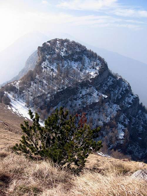
Dwarf pine on the summit crest |
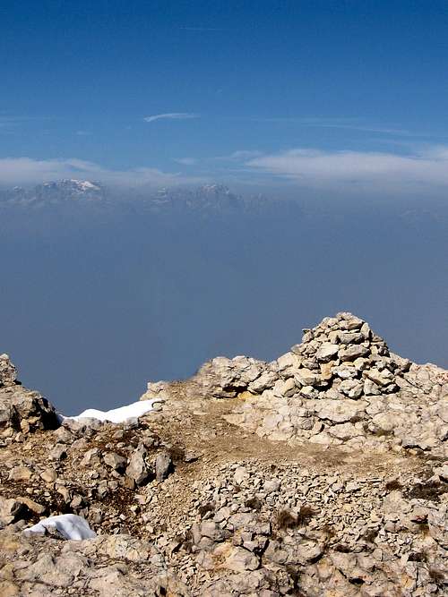
Cornetto summit cairn |
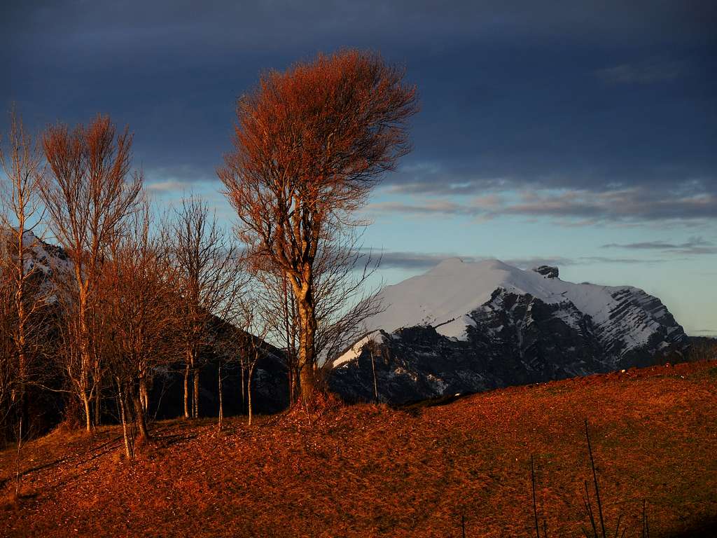
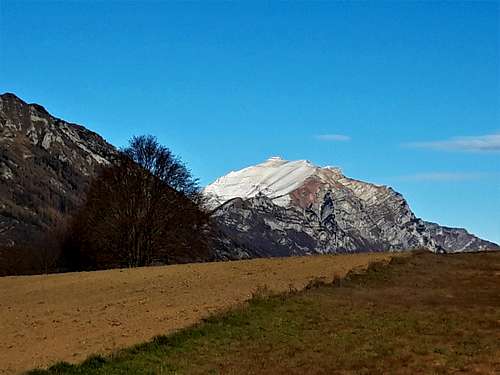
Cornetto Cronicello in early Spring |
This 185 hectares area occupies a glacial valley that from Viote m. 1580 reaches the three summit peaks: Doss di Abramo (2140 m), Cornetto (2180 m) and Cima Verde (2102 m). The basin consists of a substrate of sedimentary rocks, while on the higher peaks prevail the Jurassic white and red limestones and the Cretaceous clay. The forest area is represented mainly by red firs with the presence of larches, some white firs, pines and beechs. In the upper part of the reserve take over the dwarf pine (pino mugo).
When to climb

The peak can be climbed all year round
Accomodation
Several possibilities of accomodation in Val Lagarina, Lago di Cei and Valle del Sarca
Bibliography
Map
"Trento e dintorni" Kompass sheet 647 1:25000