
|
|
Mountain/Rock |
|---|---|
|
|
Hiking |
|
|
Overview
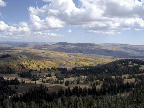
Currant Creek Peak is one of the highest mountains between highway 35 and Interstate 40 in north-central Utah. Just getting to the trailhead can be a rewarding scenic drive. Fall is particularly nice in the area as the aspen groves are changing color. The terrain isn’t rugged in these parts but the views are unique and endless. Currant Creek Peak comes in with 1,214 feet of prominence making it #231 on the Utah Prominence List.
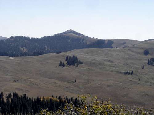
Currant Creek Peak from Bald Knoll
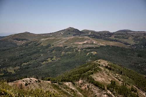
Currant Creek Peak from Heber Mountain
 Currant Creek Peak from Racetrack Benchmark to the south
Getting There
Hwy 35 Access: Take Utah Hwy 35 east of the Francis-Kamas area to the well signed Mill Hollow turnoff (Forest Road #054) and follow this road past the reservoir and campground. At the pass, just past the Duchesne Ridge turn-off, the road will drop but continue south toward Roundy Basin. At the major intersection shown on the map, take a right for Currant Creek Peak. This right traverses below Currant Creek Peak until the road dead-ends. Here, at the end of the road (maps show it continuing) there is parking and an ATV trail that takes off southwest. Hwy 40 Access From Heber City, go 45 miles on US 40 to Currant Creek Junction then 17 miles north on Forest Road 083. You then hit the Currant Creek Reservoir and a road looks to gain the ridge just before the trailhead on the west side of Currant Creek Peak. I saw signs and the road down toward the reservoir from above but have not driven the route. I believe there is a gate until July to prevent road damage. You could also access the area via Co-op Creek Road off Hwy 40, which is several miles west of the Currant Creek Road, near the Strawberry Reservoir.
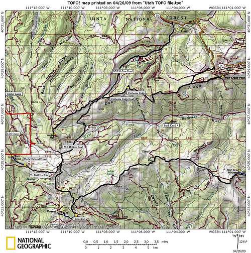 Overview Map showing roads and peaks in area
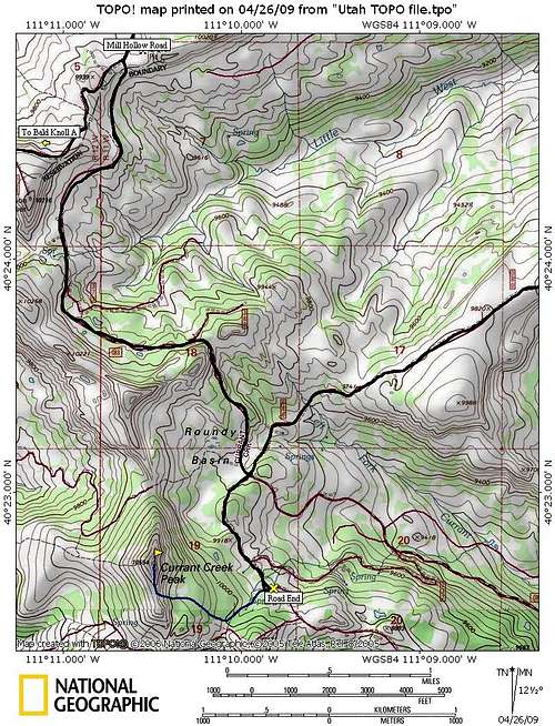 Currant Creek Peak Map
Red Tape
None, if there are restrictions, the Forest Service has done a good job posting them. Address: Heber Ranger District Uinta National Forest 2460 South Highway 40 Heber City, UT 84032 Phone: 435-654-0470
Camping
There is primitive camping everywhere and some of the sites are quite nice. Mill Hollow Campground is an established campground on the approach near the reservoir just off the highway. Wolf Creek Campground is up highway 35 beyond the turn-off. Currant Creek Campground is a large camp near the Currant Creek Reservoir not far from the mountain. A turn-off before the trailhead looked to drop down to the reservoir. One could then drive south to Highway 40 near Duchesne.
Route
The peak could be ascended from the parking area or from one of the hunter campgrounds on the west side below the peak before the road dead-ends. There are several unmarked horse trails all over the area. None go to the summit but at least one goes from the camps to the 10,200 foot gap south of the summit. Others shoot off the ATV trail. My route shown was the easiest route for me carrying 2 kids. Whichever way you choose, all the terrain is easy to find routes up, the gain is around 750 feet in one mile. On top, there is a communication tower of some sort and one heck of a view. Most of the route is in semi-open forests, only the last 100 feet is really exposed to the elements if weather is threatening.
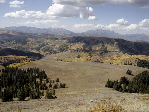
West to Provo, Cascade and Timpanogos

South to Racetrack Benchmark & Strawberry Reservoir
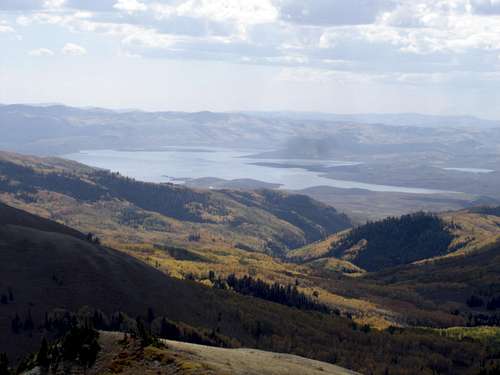
Zoom to Strawberry Reservoir
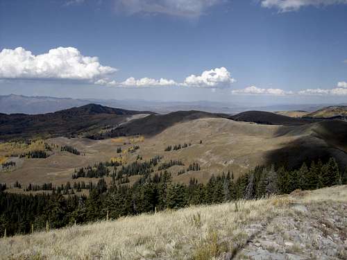
View to Bald Knoll
SE to Strawberry Mountain
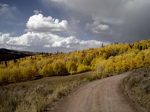
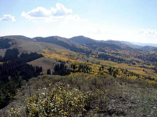
Trees in Fall
External Links