Left or right?
The road to Zongo goes over the Zongo pass. On the pass is the trailhead for normal route on Huayna Potosi (6088m), which is an alpine ascent.
On the other hand, Chacaltaya (5395m) is a very easy hiking peak.
Almost wheelchair accessible.
Actually, the choice was easy. Plans had been made a long time before, and the weather in the Bolivian winter in the Cordillera Real is quite predictable, so there was no reason to change it. Let's go both ways!
Chacaltaya
![Disappearing glacier]() The last remains of the Chacaltaya glacier
The last remains of the Chacaltaya glacier
The first time I was at this junction, it was for the hike up to Chacaltaya. There used to be a very small ski area on the glacier on Chacaltaya, and as a result there is a road going almost to the summit. The glacier is all but gone now, but the road isn't too bad, and tour operators take tourists up there every day. From the end of the road, it's an easy stroll, just half an hour or so. Nice views, and great for acclimatization.
![Cordillera Real]() Looking north along the backbone of the Cordillera Real
Looking north along the backbone of the Cordillera RealHuayna Potosi
A couple of days later (in between I was ill for a day, then
I climbed Pequeño Alpamayo), I was back at the junction again. This time we took the left turn.
![Huayna Potosi summit view]() Summit view
Summit view
From the pass, we hiked the short distance to the refuge at around 5200m.
Being close to La Paz, all the local mountaineering outfits offer trips to climb Huayna Potosi, with or without an extra day acclimatization and glacier practice. These trips attract a lot of hikers without previous glacier experience. There were several such groups at the refuge, all eager and looking forward to summiting soon, and most in fact did succeed.
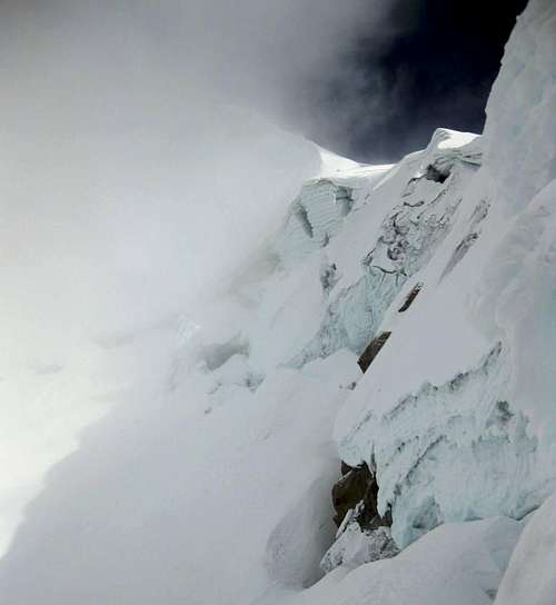
Unfortunately, as we ascended, we found ourselves climbing into the clouds. No views on the summit. Only after descending quite a bit, we could see something again.
![Cloud patterns]() Cloud patterns
Cloud patterns
Comments
No comments posted yet.