Viewing: 1-1 of 1

Dean - Sep 22, 2005 11:02 am - Voted 10/10
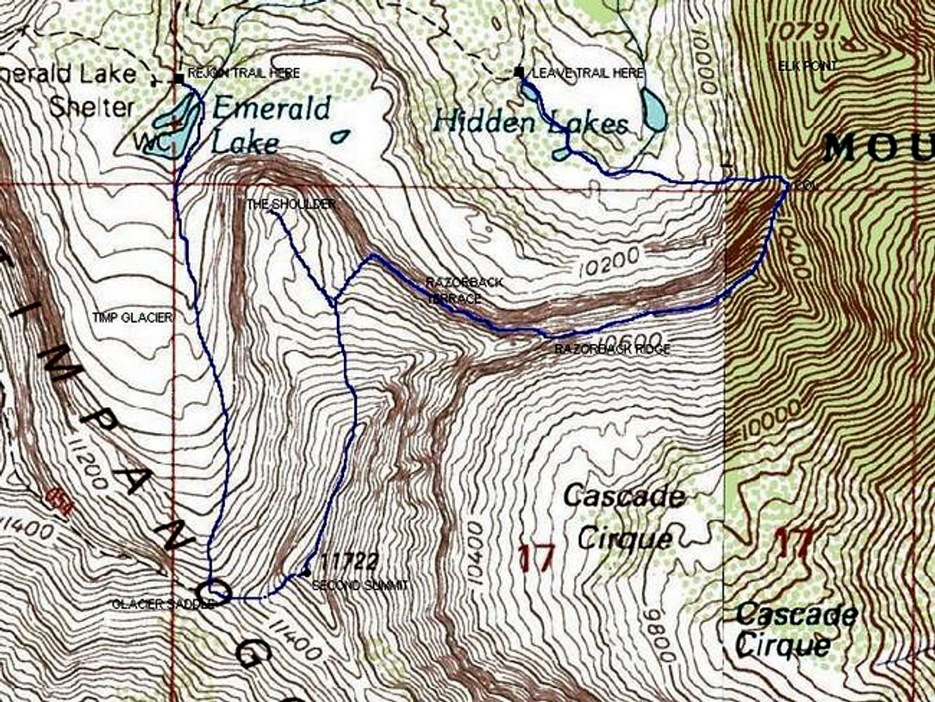
Great mapThis is an invaluable aid in visualizing your route. Thanks for adding it.
Viewing: 1-1 of 1


This is an invaluable aid in visualizing your route. Thanks for adding it.


Comments
Post a Comment