
Viewing: 1-4 of 4

Super Dave - Jan 9, 2010 4:03 pm - Voted 10/10
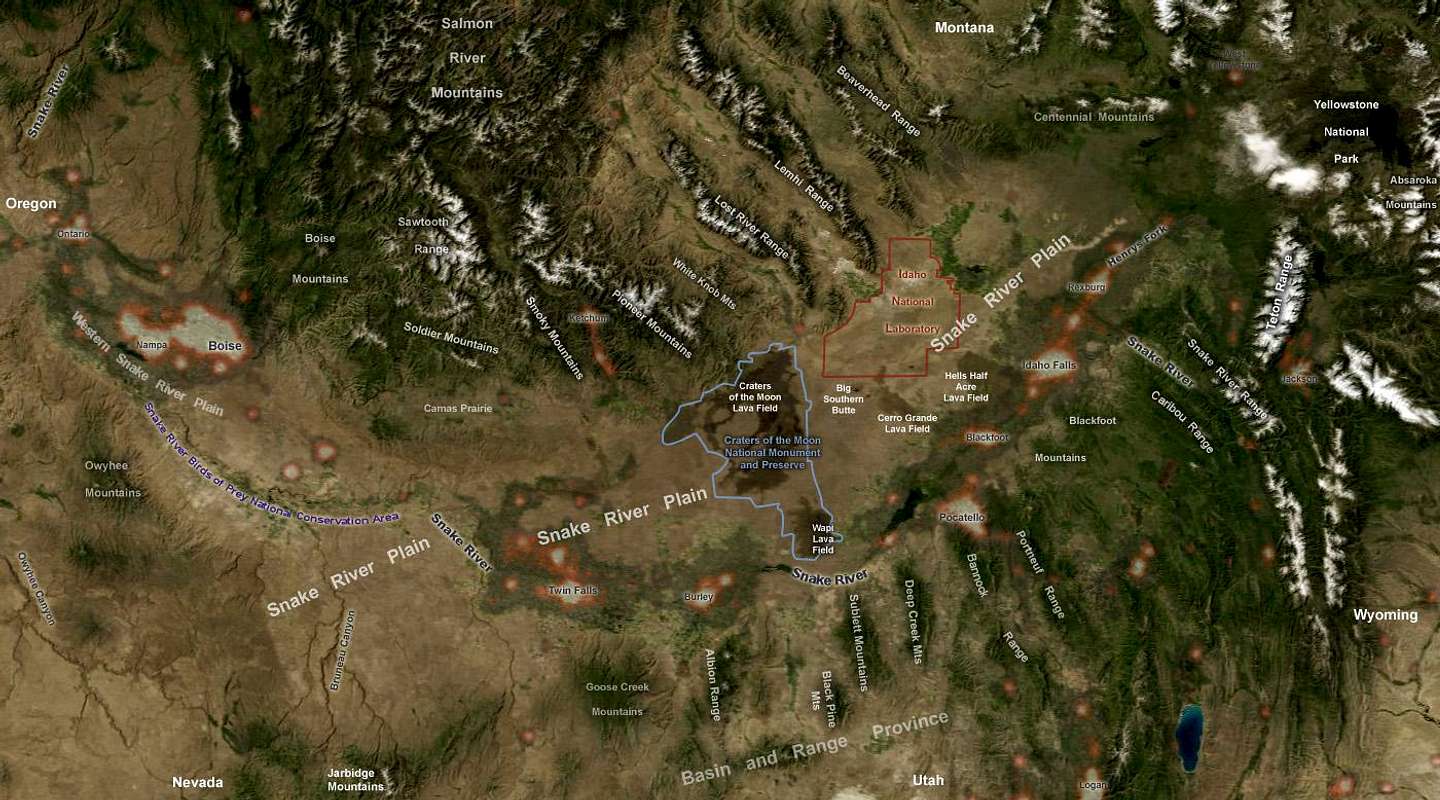
Great overview mapWell done Brendon. Add the Boulders and White Clouds, and this would have it all!

brendon - Jan 9, 2010 7:45 pm - Hasn't voted
Re: Great overview mapTrying to keep them obscure :)

calebEOC - Jan 9, 2010 4:20 pm - Voted 10/10
This map makes me wonderWhat kind of ranges existed before the Yellowstone volcanics came plowing through here? It looks like ranges north of the plain and south of it may have connected.
brendon - Jan 9, 2010 7:48 pm - Hasn't voted
Re: This map makes me wonderI read somewhere that King Mountain of the Lost Rivers and the Deep Creek Range had some geologic something in common, but I don't remember what the source was.
Viewing: 1-4 of 4


Comments
Post a Comment