-
 6394 Hits
-
 74.01% Score
-
 4 Votes
|
|
Route |
|---|---|
|
|
45.26960°N / 113.7526°W |
|
|
Hiking, Mountaineering, Scrambling |
|
|
Summer, Fall |
|
|
Most of a day |
|
|
Class 3 |
|
|
Difficult |
|
|
II |
|
|
Overview
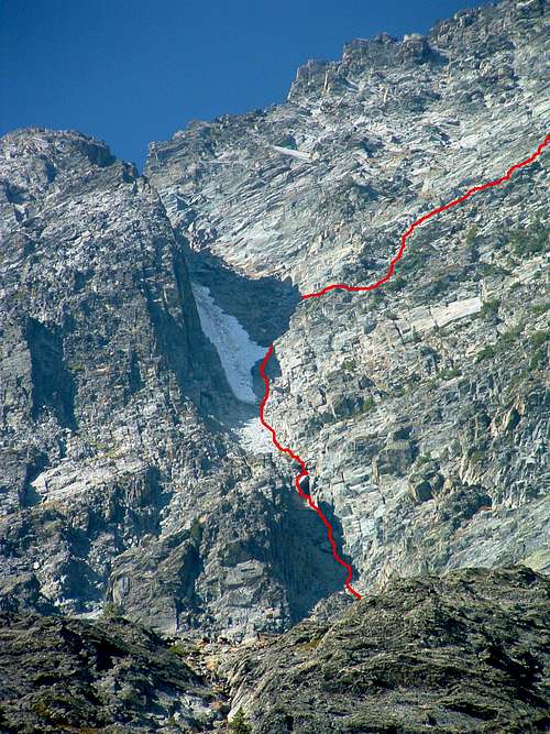
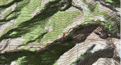
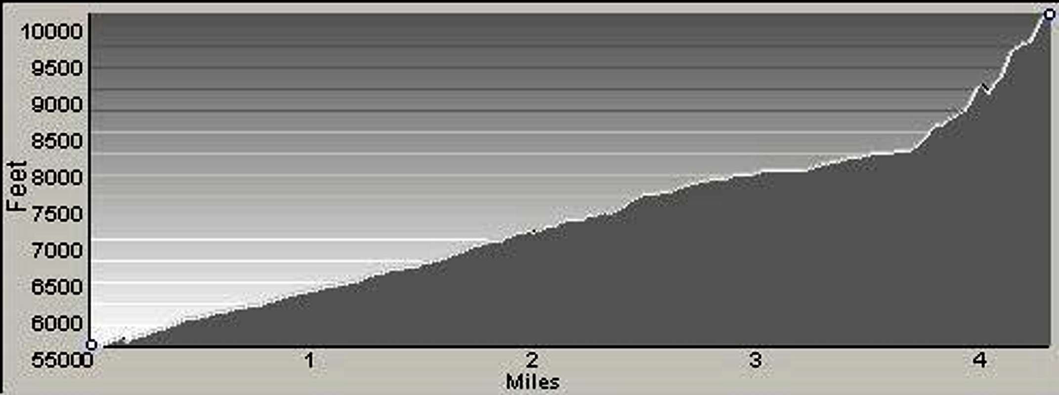
Route Type – Scramble Class Level – Class 3 Elevation – 10,279’ Gain – 4,810’ Distance – 4.5 miles (one way) Length of Time Required to Complete the Route – A Long Day
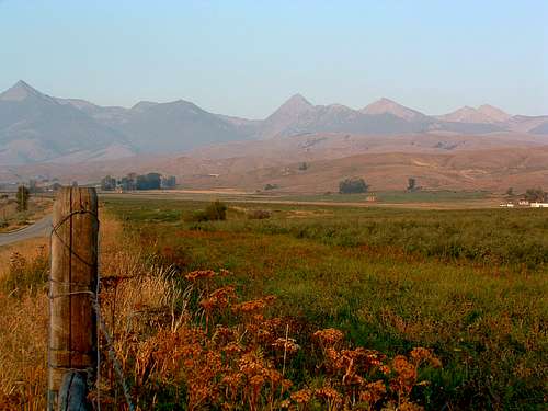
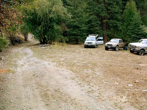
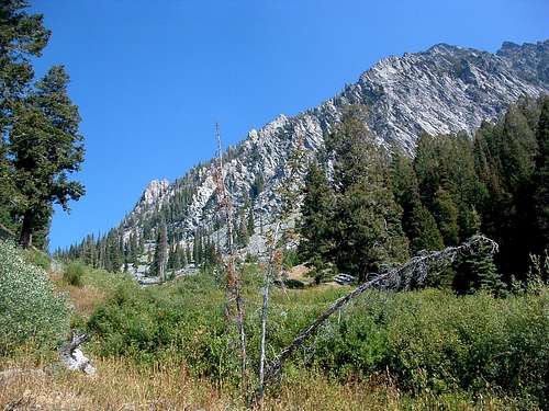
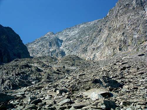
Getting ThereFrom Hwy 93, approximately 4 miles north of Salmon, ID, turn east onto Carmen Creek Road. Follow the road for a little over 5 miles as it meanders in a northeasterly direction. Turn right (east) onto Freeman Creek Road. Go about 3 miles, then take the left fork (main road). The right fork takes you into a rather large clearing where some choose to camp. Drive for approximately one half mile, cross a cattle guard, and begin looking on your right (south) for a small clearing between the road and Freeman Creek. This is a good place to park and begin your expedition unless you have faith in your driving abilities and a 4-wheel drive vehicle. If you wish, you can drive an additional half mile to a spot where the road forks. The road is a little rougher this last half mile, but even a 2-wheel drive vehicle should be able to make it if you’re careful. There are very good camping spots near the creek and several places to park along the right (south) side of the road. The left fork makes a hard switchback and proceeds uphill to the northwest. This is the road to take if you’re planning to climb Copperhead Peak. It is passable with a 2-wheel drive vehicle. The right fork proceeds directly ahead (east) and is the way to Freeman Peak. The road beyond this point requires some expert driving skills plus 4-wheel drive at several points. Proceed at your own risk. Personally, I would not drive beyond this point (toward Freeman Peak) without having first hiked the road. There are no restroom facilities at any of these spots (clearings) along Freeman Creek Road nor are any of the spots marked with signs; however each of the clearings can be recognized as having been previously used by the existence of fire rings constructed out of the local stone. Route DescriptionFrom the trailhead for Copperhead and Freeman Peaks, hike west up the road which leads to the Ore Cash Mine and Freeman Peak. If you begin hiking before the road forks, be sure to stay on the road going straight ahead (east) toward Freeman Peak and not on the left fork which switches back toward the northwest and provides climbing access to Copperhead Peak. As the road proceeds first east then north east, it will swing to your right and go in a southeasterly direction for about a quarter mile. When the road makes a left-tuning switchback toward the north-northwest, look closely for a faint trail descending from the road to the creek. Follow the trail across the creek and toward the lower edge of the talus fan issuing from the Freeman Peak Cirque. The trees and undergrowth are thin enough that you should be able to see the talus field shortly after leaving the road. Climbers' Route - to Freeman Peak Summit (climbing) As you enter climb onto the talus and boulder, look southwest at the southeast ridge of the peak. You will see a prominent gully which leads from the cirque to the top edge of the ridge crest. The summit is not visible from the lower edge of the cirque. When you reach the bottom of the gully, you will discover that loose rock and scree make up a large portion of the climb before you. However, the rock which makes up the walls of the gully is quite stable and provides numerable handholds. Stay close to the right (northwest) side of the gully as you climb using every available handhold to help your ascent. If you’re climbing with someone, be careful not to kick loose rock on each other – keep good spacing. Part way up, a large block has fallen into the gully and appears to block your way upward. The rock can easily be circumnavigated by climbing around it on the left (southeast). At a point about 200’ below the ridge crest (top of the gully), climb right (northwest) out of the gully onto the east face. From this point on, climb upward by ascending a series of short cliffs toward the summit. There is probably no “best” route from here to the top. Use your route finding abilities to find a line to the summit which avoids as much difficulty as possible. Almost any route you use up and over the east face will include some exposure, though none is extreme. The biggest problem is loose rock, but much of that can be avoided by good route finding and foot placement, especially after you exit the gully onto the east face. (The worst is in the gully.) Essential GearSturdy hiking boots are a must for working over the loose rock. Bring plenty to eat, this climb is fairly hard work. Otherwise, only standard hiking/climbing gear is required.When To GoBecause they are mostly shaded from the sun, the Freeman Peak cirque and gully retain snow well into the summer. Unless you want a snow climb, late summer and early fall are probably the best times to climb using this route.Route Statistics |


