Toggle navigation
Mountains
Routes
Images
Trip Reports
Forum
What's New
People
Areas & Ranges
Articles
Trailheads
Canyons
Huts & Campgrounds
Albums
Logistical Centers
Fact Sheets
Lists
Custom Objects
Gear
Plans & Partners
WELCOME TO SUMMITPOST
SIGN IN
REGISTER
St. Francois Mountains (MO)
Additional Parents
Image
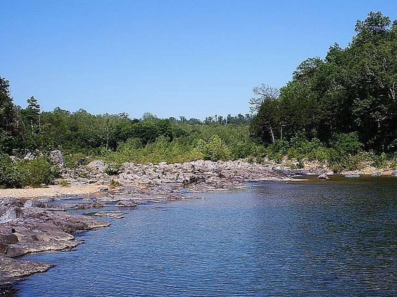
East Fork Black River
View High-Resolution Image
East Fork Black River
Downstream on the East Fork Black River as it approaches the shut-ins, Johnson Shut-Ins State Park, Missouri.
« PREV
NEXT »
mountainhare
on
Feb 9, 2013 2:39 pm
Comments & voting
Other parents
Lat/Lon:
37.53987°N / 90.83842°W
Image Type(s):
Hiking
Image ID:
837737
2754 Hits
0
% Score
0
Votes
Log in to vote
Comments
No comments posted yet.
to post!
Don't have an account?
St. Francois Mountains (MO)
(Area/Range)
« PREV
Viewing
#45 of 46
GALLERY
NEXT »
mountainhare's Image Gallery
« PREV
Viewing
#445 of 498
GALLERY
NEXT »
×
You need to login in order to vote!
User Name
Password
Remember me
Forgot your password?
Log me out when I close my browser.
Keep me logged in all the time.
sign in as a user
Don't have an account?
Register now for FREE
Rating available
Suggested routes for you
People who climb the same things as you
Comments Available
Create Albums
Register Here


