-
 20865 Hits
-
 77.47% Score
-
 8 Votes
|
|
Route |
|---|---|
|
|
46.67466°N / 114.24359°W |
|
|
Hiking, Scrambling, Skiing |
|
|
Spring, Summer, Fall, Winter |
|
|
Most of a day |
|
|
Class 2 - Moderate |
|
|
I |
|
|
Overview
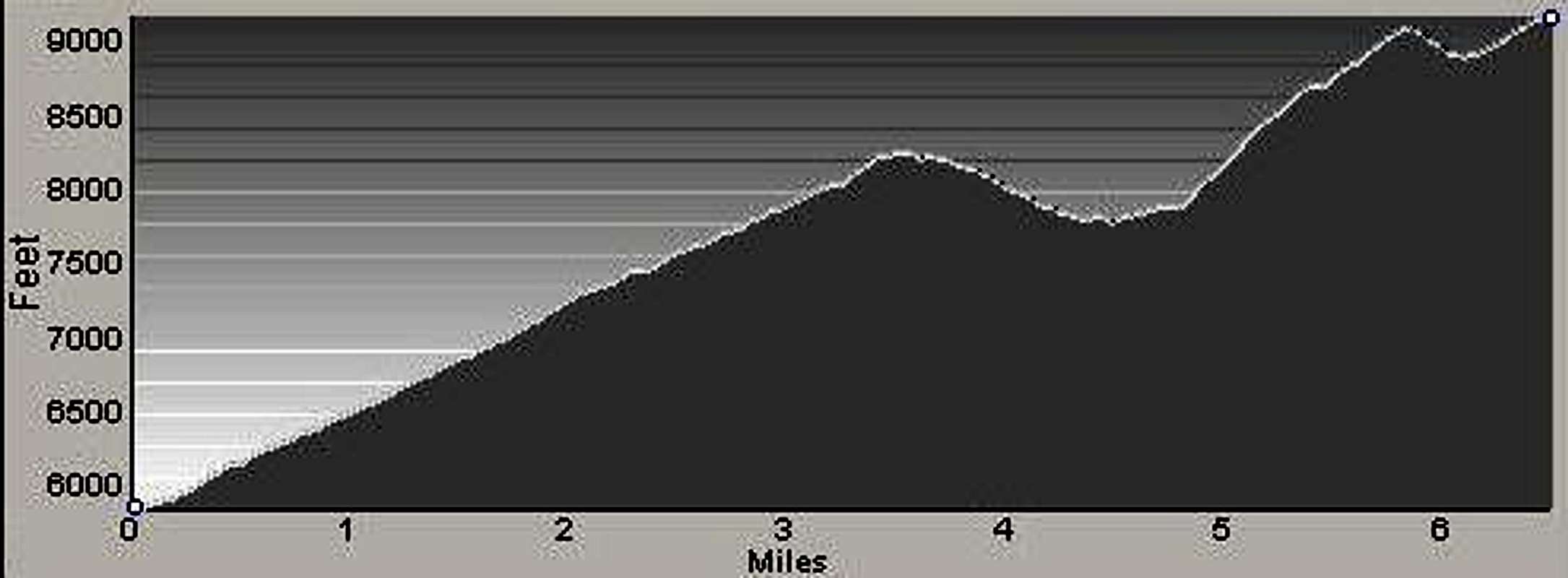
Route Type - Hike & Scramble Class Level – Class 2 Elevation – 9,139' Gain - 4,825' (round trip) Distance - 14.3 miles (round trip) Length of time required to complete route – most of a day
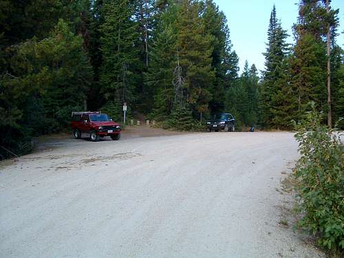
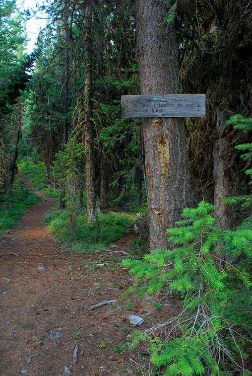
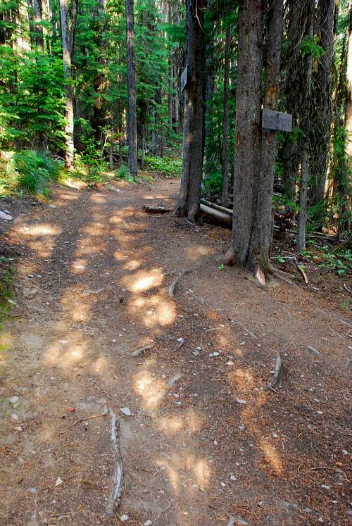
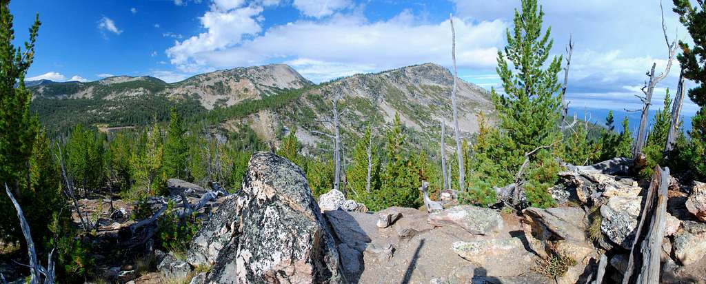
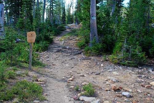
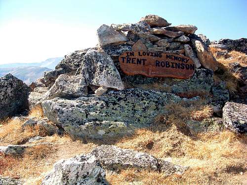
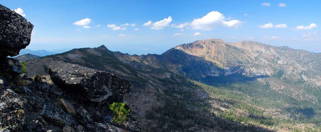
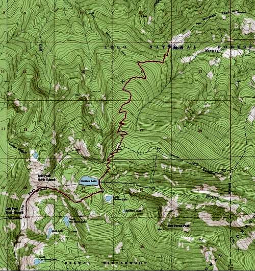
Lolo Peak is close to Missoula, one of Montana’s largest cities. Because of that proximity, Lolo Peak (the northernmost 9,000+ foot summit in the Bitterroots) is one of the most-climbed in the Bitterroots. A proviso with that statement. On my Topo map, Lolo Peak is the label applied to a fairly long north-south section of ridge which includes two highpoints separated by a saddle. At 9,139',the southern summit is the actual highpoint of this section of ridge. But because this route, the "standard" trail to Lolo Peaks, reaches the north highpoint (9,096') first, few people make the trek over easy tundra to reach the true summit. Strangely enough, the summit register is located in a rock shelter near the lower of the two highpoints. Go figure! Getting ThereLolo Peak Trailhead Go west on Hwy 12 from the town of Lolo, MT. After 3.8 miles, turn left (south) onto Mormon Peak Road (612). The repairs to the lower (first) portion of Mormon Creek Road are now complete. Though still the steepest and narrowest section of the road, it is much improved and quite smooth. And believe it or not, the road actually gets better the farther you go. Follow the road for 8.5 miles to a right-turning switchback were the trail begins. There is a sign marking the trailhead. Parking is limited, which I find strange, considering the popularity of the peak. Note: This trailhead is not assessable between December 1st and May 15th because Mormon Peak road is closed at Hwy 12. Route DescriptionFrom the Lolo Peak Trailhead on Mormon Peak, follow the "standard" trail (1311) as it begins a series of ascending switchbacks through a thick woods of Lodgepole Pine. Fortunately, because Lolo Peak is a very popular destination, the trail is well maintained by the Forest Service. Though a sign indicates it is three-quarters of a mile to the Mill Creek Trail (1310) junction, it’s actually closer to a mile. The junction is clearly marked. Stay to the left and continue toward Carlton Ridge. From the trailhead, it is a little less than 4 miles to the Carlton Ridge highpoint, marked with a sign, and exactly 4 miles to the overlook, referred to as Vista Point on the Carlton Ridge sign. From “Vista Point”, follow the trail as it turns almost directly east for a short distance as it descends to Carlton Lake. Note: There are several obvious places along this section where people have taken shortcuts to and from the lake. Don’t be fooled. It saves time and energy if you stay on the “official” trail. When the trail nears the lake, it joins a very rough access road (used for dam maintenance). As of my last visit (August 10, 2007), there was a new sign clearly marking this junction. Continue south-southwest along the road a short distance to the east end of Carlton Lake at the north end of the dam. When the trail reaches the crest of the ridge (46.68116 N / 114.21587 W, elevation 7,840’), leave the trail and begin ascending the ridge to the southwest, aiming for an obvious saddle. This section of the route is over granite slabs and through a very open woods. Just before reaching the saddle, begin to contour to the right and follow the crest of the ridge northwest toward the north highpoint of Lolo Peak. As the woods thins with elevation gain, the route begins to cross more talus, and, eventually reaches the fairly indistinct tree line. At this point the climbers’ trail becomes more evident, obviously because many feet have traveled this way. Close to the north highpoint is a 3-sided wind shelter built of rocks gathered from the immediate area. It is adorned with a memorial plaque. The actual highpoint is a few feet west of this shelter as indicated by a brass survey marker. Descend southwest from the north highpoint toward a saddle (lower by only 200’) over the tundra covering Lolo Peaks' summit area. As you approach the saddle, work your way through stunted flag trees scattered in this often-windy area. From the saddle ascend almost directly south over the broad ridge-crest to the south highpoint, Lolo Peak's true summit.
Essential GearNothing more than good hiking shoes and apparel required by the current weather are required for this route unless you plan to go during snow conditions. Then snowshoes or skis will be required.There is little chance of avalanche along this "ridge" route, but that doesn't mean you shouldn't stay aware of current conditions. When To GoThis route can be used at any time of the year; however under snow conditions, you are unlikely to be able to reach the trailhead by vehicle.Route Statistics |


