-
 9512 Hits
-
 71.06% Score
-
 1 Votes
|
|
Route |
|---|---|
|
|
46.64801°N / 114.22049°W |
|
|
Hiking, Mountaineering, Skiing |
|
|
Spring, Summer, Fall, Winter |
|
|
Most of a day |
|
|
Class 2 - Moderate |
|
|
Overview
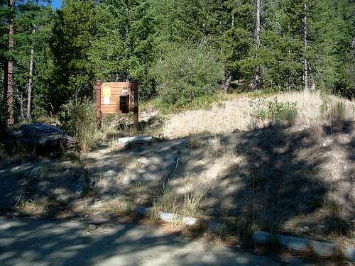
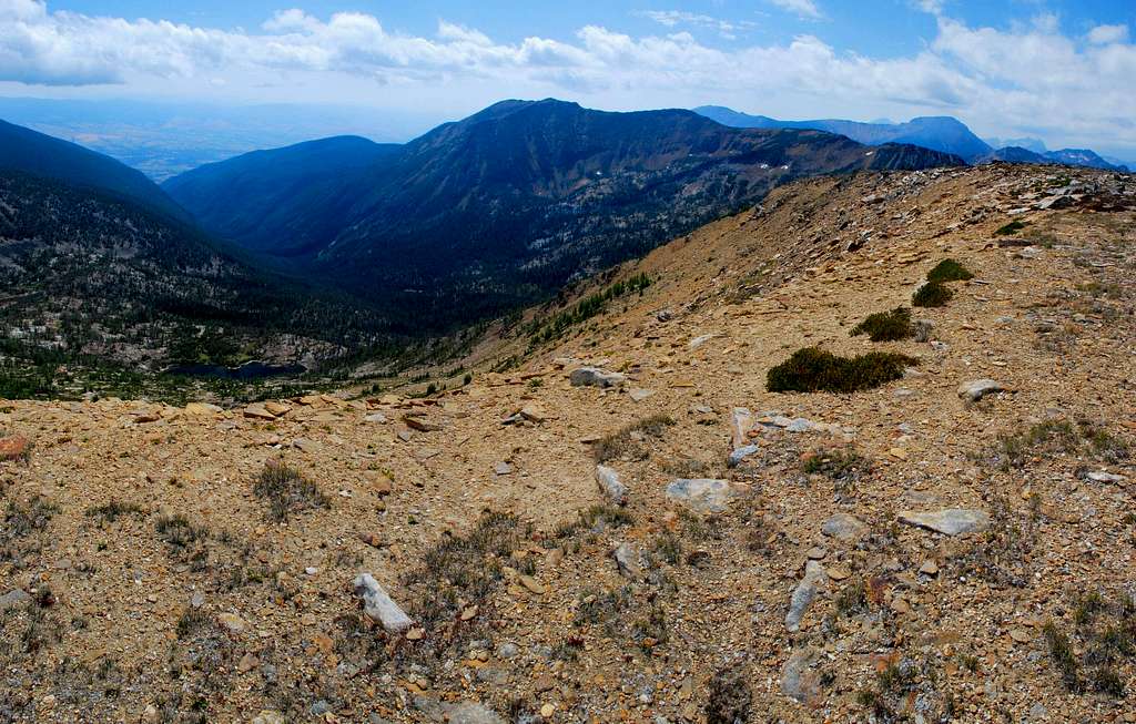
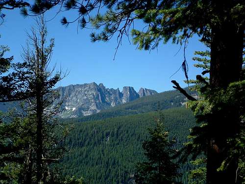
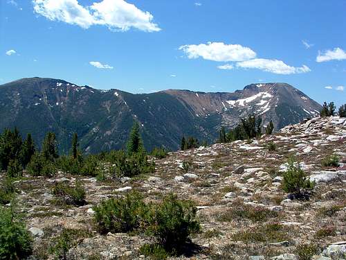
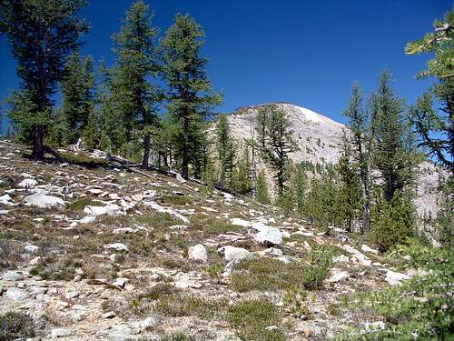
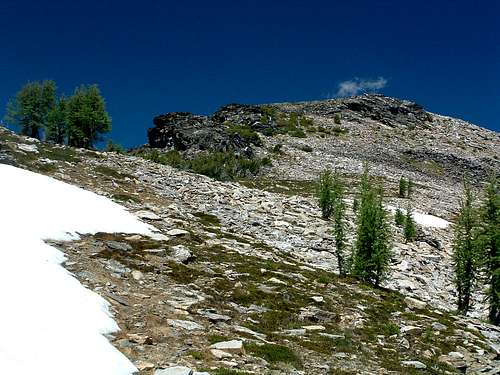
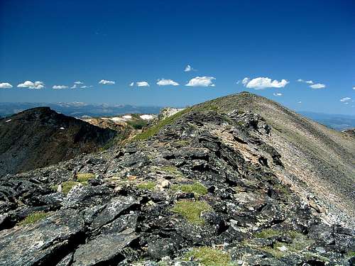
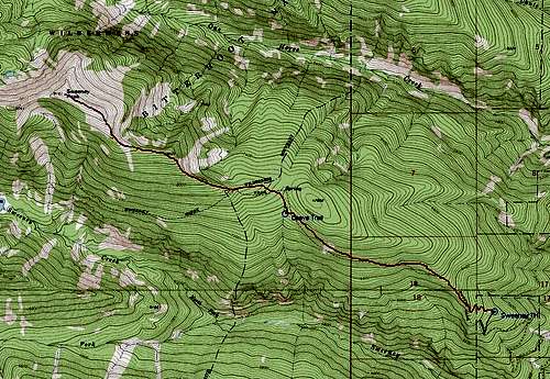
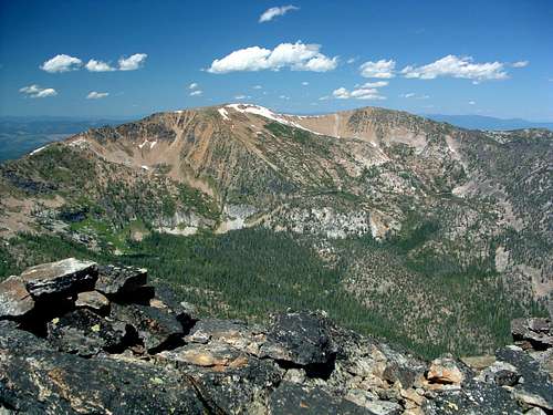
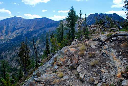
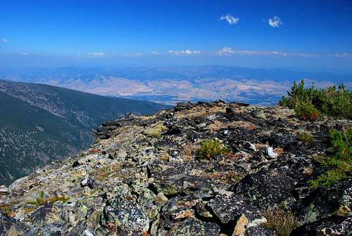
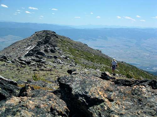
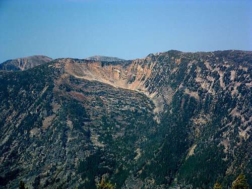
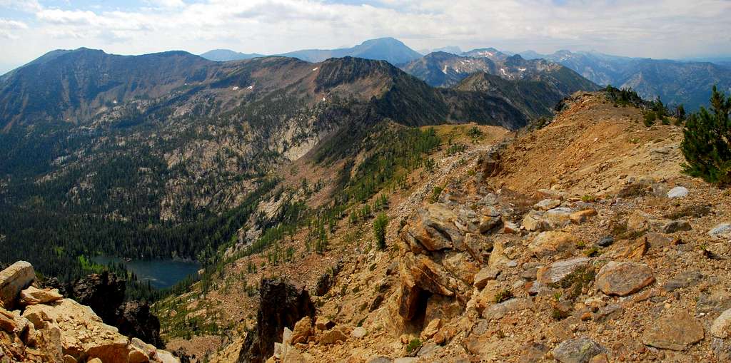
Route Type - Hike Elevation – 9,161’ Class Level – Class 2 Elevation Gain - 3,417' Distance - 4.5 miles Length of time required to complete route – one day Located slightly west of Florence, Montana, Sweeney Peak is one of the Bitterroot summits which is not particularly difficult to reach – any time of the year. Skiers use the route up the East Ridge to reach the area around the summit for some great spring-time backcountry skiing. During the remainder of the year, hikers who are not adverse to going off trail, find the summit a peaceful place to view the surrounding Bitterroot summits, and far below, the Bitterroot Valley. Getting ThereSweeney Ridge TrailheadFrom Florence, MT drive south on Hwy 93 for about 1.5 miles and turn right (west) onto Sweeney Creek Loop. Where the road turns left (south) after one mile, continue straight (west) for about 0.4 miles on gravel past residences to a junction. Turn right (north) onto FR 1315 following the signs to Sweeney Creek Ridge Trail. Drive the nearly six miles to the end of the road. There are no restroom facilities. Parking space is limited, so arrive early, especially on weekends. In the winter one can simply drive to the snow-line and park on the side of the road. The RouteLeave the official Sweeney Creek Trail (393) at a point about 2.3 miles from the trail head (46.63391 N / 114.18281 W, elevation 7,350’). It’s a little past the high-point of the trail, just where a small stream crosses the trail. If you look to the right (north-northeast) immediately after stepping over the stream, there is an obvious trail leading uphill into the trees. (Someone has established a place to set up a tent or two at this spot.) Follow the established, sometimes faint, trail through the underbrush as it meanders north, traversing along the side of the ridgeline. You will lose the trail while in a swale (the bed of a very small intermittent stream). Just follow the swale (shallow depression) uphill to the north until you reach an elevation around 7,500’. Turn northwest and continue hiking uphill through the thinning timber to the crest of the ridge at 7,650’. Begin following the ridge to the west, staying as close as you can to the ridge-crest. At some point you will pick up distinct sections of trail. If you stay on the trail as much as possible, it will lead you in the correct direction. Eventually the track breaks from the thicker woods and attains the obvious ridgeline. As it moves to higher elevations, there are good views into the One Horse Drainage immediately to the north. Along with the gain in elevation, the woods turns from a mix of fir and lodgepole to one of Whitebark pine and larch. In my opinion, one of the highlights of the route is when you reach an area which is populated almost exclusively with widely-spaced larch. Moving upward through the ever-thinning larch, the ground is covered with Mountain Heather. By this point on the route, you should be able to see the false summit and the rather obvious route to its base. From here on, the multiple trails seem (for the most part) to merge into a single track. Working your way upward over and through a couple of boulder fields and Mountain Heather, you will soon reach the base of the false summit. Stay towards the left side of the exposed rocks as you ascend. There is a discernable trail in the short sections of scree. After topping the false summit, the route to the true summit is easily recognizable along the undulating ridgeline. From this point forward there is little change in elevation – an easy walk in the park! Essential GearAfter leaving the "official" trail, there is a bit of bushwhacking through small brush and grass which, during some months of the year, can fill your shoes (boots) with debris. You may want to consider wearing gaiters. Otherwise, sturdy footwear and weather appropriate clothing are all that's required.This peak is a popular destination during the winter, especially with backcountry skiers. If you're planning on climbing Sweeney while there is snow on the ground, you will want either skis (with skins) or snowshoes. When to GoBecause this route follows a ridge-crest most of the way to the summit, there is little chance of avalanche. However, if you plan to ski in the mountain's bowls, you could be exposed to the chance of avalanche. Know how to read the snow before you attempt such an activity.Route StatisticsAlbum of Additional Pictures |


