
|
|
Route |
|---|---|
|
|
37.64937°N / 112.14752°W |
|
|
Hiking |
|
|
Spring, Summer, Fall, Winter |
|
|
Half a day |
|
|
Hike |
|
|
Overview
Fairyland Trail sits in the northern parts of Bryce Canyon National Park. The trail starts at Fairyland Point on the rim of the canyon and goes down among the hoodoos first into Fairyland Canyon and then into Campbell Canyon where it reaches a formation known as Tower Bridge. The trail then goes back up to the rim of the canyon at Sunrise Point. From Sunrise Point, you can follow the northern parts of the Rim Trail to make it back to Fairyland Point.Other notable formations along the length of this trail include Chinese Wall and Sinking Ship.
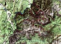 Map |
Getting There
From Visitor Center drive less than a mile north, turn east onto the signed road for Fairyland Point and follow it for a mile to the end of it at the parking area. Parking is limited. Come early or take the park shuttle bus.Route Description
Hike Statistics:Elevation at Fairyland Point: 7760 ft
Lowest Point (Fairyland Canyon): 7160 ft
Elevation at Sunrise Point: 8000 ft
Highest Point (on Rim Trail): 8155 ft
Hiking Distance: Fairyland Pt.-Tower Bridge-Sunrise Pt.-Fairyland Pt. = 8.4 miles
At Fairyland Point, you will be standing on the rim of the canyon. Sinking Ship will be visible to the east.
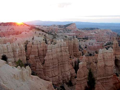 Sinking Ship from Fairyland Point at sunrise |
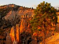
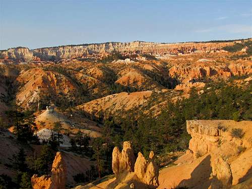
The trail begins to go down among the hoodoos.
 | |
 |  |
 | |
The trail does not quite reach the bottom of Fairyland Canyon. It goes down to 7160 ft, then begins to go up again.
 |
 |
 |
 |
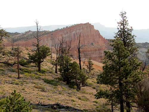
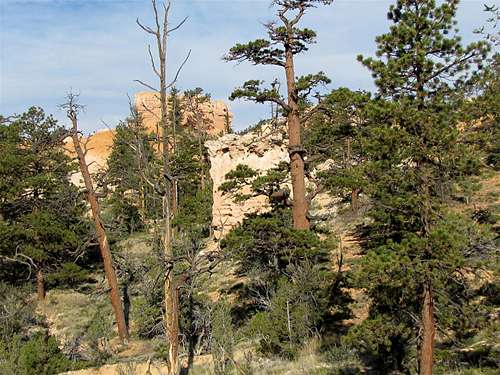
Boat Mesa will be well visible.
 Boat Mesa |
 Boat Mesa |
The trail reaches a high point at 7500 ft. You can look north to see Fairyland Canyon.
 Fairyland Canyon |
Sinking Ship will be to the east.
 Sinking Ship |
Bryce Point & Inspiration Point will be visible to the southwest on the rim of the canyon.
 Bryce Point & Inspiration Point |
You will now look at Boat Mesa and the hoodoos around it from a different angle.
 |
 Boat Mesa |
 Boat Mesa |
 |
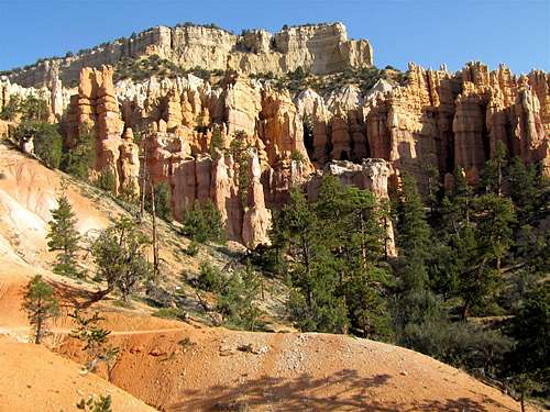
The trail begins to go down into Campbell Canyon. If you look carefully to the south/southwest, you will see Tower Bridge.
 Zoomed view of Tower Bridge |
At the bottom of Campbell Canyon, at 7200 ft, you will reach a 0.2 mile long spur trail that takes you to a spot at the base of Tower Bridge.
 Tower Bridge |
The trail then begins to climb out of Campbell Canyon toward Sunrise Point on the rim of the canyon.
 |
 |
Chinese Wall will come to view to the south.
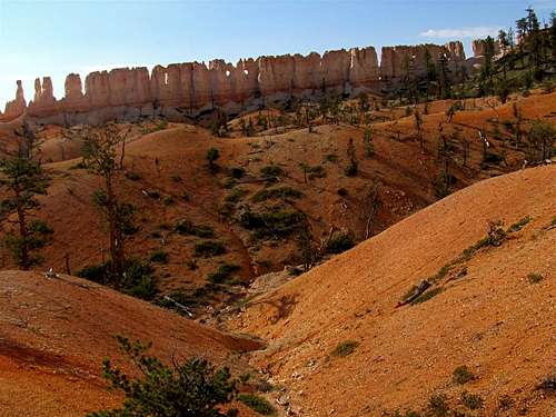 Chinese Wall |
As you go higher, sinking ship and Bristlecone Point will appear.
 Sinking Ship | 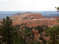 Bristlecone Point |
Once you reach Sunrise Point on the rim of the canyon, you can follow the northern part of the Rim Trail to get back to Fairyland Point.
Red Tape
You must pay park entrance fee.No permits required for day hikes. For all rules and regulations see the official park site:
http://www.nps.gov/brca/index.htm