Toggle navigation
Mountains
Routes
Images
Trip Reports
Forum
What's New
People
Areas & Ranges
Articles
Trailheads
Canyons
Huts & Campgrounds
Albums
Logistical Centers
Fact Sheets
Lists
Custom Objects
Gear
Plans & Partners
WELCOME TO SUMMITPOST
SIGN IN
REGISTER
Caldera de Taburiente
Additional Parents
Image
Forced to hike along the...
View High-Resolution Image
Forced to hike along the...
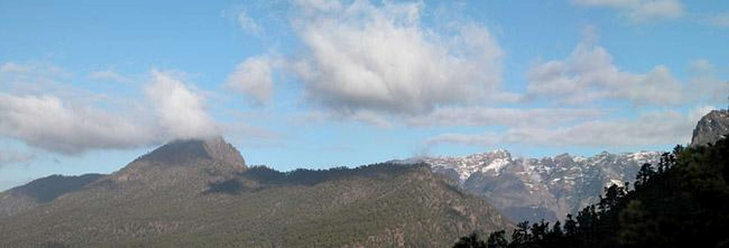
Forced to hike along the Cumbre Nueva (since the Caldera again got besieged by clouds we looked back to see Pico Bejenado (1844m) and the northern part of the caldera rim. Feb. 21st 2005
« PREV
NEXT »
Gangolf Haub
on
Mar 13, 2005 10:40 am
Comments & voting
Other parents
Lat/Lon:
28.73000°N / 17.87°W
Image ID:
94626
2361 Hits
71.62
% Score
2
Votes
Log in to vote
Comments
No comments posted yet.
to post!
Don't have an account?
Caldera de Taburiente
(Area/Range)
« PREV
Viewing
#87 of 123
GALLERY
NEXT »
Gangolf Haub's Image Gallery
« PREV
Viewing
#10768 of 13940
GALLERY
NEXT »
Ruta de la Cresteria
(Route)
Loading....
×
You need to login in order to vote!
User Name
Password
Remember me
Forgot your password?
Log me out when I close my browser.
Keep me logged in all the time.
sign in as a user
Don't have an account?
Register now for FREE
Rating available
Suggested routes for you
People who climb the same things as you
Comments Available
Create Albums
Register Here


