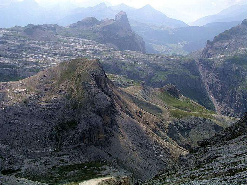
From the summit of Eastern...
From the summit of Eastern Puezspitze the ascent route to it can be clearly seen. In front is Col de Puez, which the route passes by the right (south), just before reaching the second small hill right of Col de Puez, the path goes on the other side and descends to Rif. Puez. Far in distance Sassongher is seen. August 2nd, 2004.


