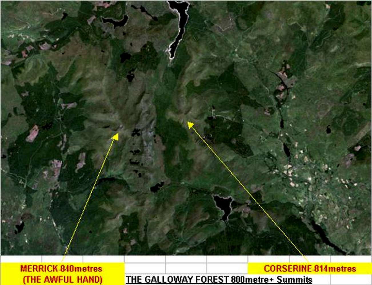
This is a good satelite image of the Galloway Forest area.
I have pointed the positions of both Merrick at 843metres and Corserine at 814metres with the yellow arrows.
The long dark streak from the top of the picture is the rather low man made lake of Loch Doon with its rocky shore's visible...!


