Toggle navigation
Mountains
Routes
Images
Trip Reports
Forum
What's New
People
Areas & Ranges
Articles
Trailheads
Canyons
Huts & Campgrounds
Albums
Logistical Centers
Fact Sheets
Lists
Custom Objects
Gear
Plans & Partners
WELCOME TO SUMMITPOST
SIGN IN
REGISTER
Garfield Basin Rim Loop
Additional Parents
Image
Garfield Basin
View High-Resolution Image
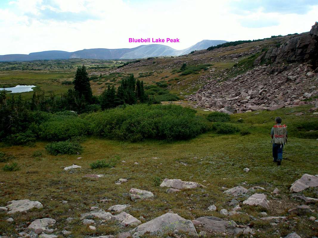
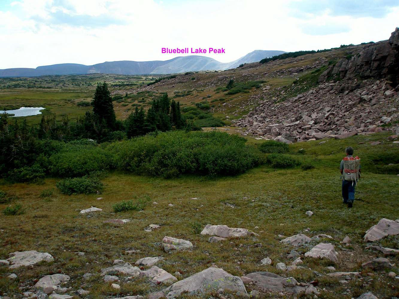
Garfield Basin
Easy sailing back to camp in Garfield Basin. You are headed about a mile north of the base of Bluebell Lake Peak. 9-8-2008
« PREV
NEXT »
ZeeJay
on
Oct 18, 2008 12:02 pm
Comments & voting
Other parents
Lat/Lon:
40.60607°N / 110.45152°W
Image Type(s):
Hiking
Image ID:
454439
1648 Hits
73.06
% Score
3
Votes
Log in to vote
Comments
No comments posted yet.
to post!
Don't have an account?
Garfield Basin Rim Loop
(Route)
« PREV
Viewing
#32 of 36
GALLERY
NEXT »
ZeeJay's Image Gallery
« PREV
Viewing
#1351 of 1388
GALLERY
NEXT »
×
You need to login in order to vote!
User Name
Password
Remember me
Forgot your password?
Log me out when I close my browser.
Keep me logged in all the time.
sign in as a user
Don't have an account?
Register now for FREE
Rating available
Suggested routes for you
People who climb the same things as you
Comments Available
Create Albums
Register Here


