
-
 9452 Hits
-
 87.76% Score
-
 25 Votes
|
|
Route |
|---|---|
|
|
Skiing |
|
|
Winter |
|
|
Half a day |
|
|
Overview
Some of Western Colorado's finest groomed cross-country ski trails exist on the Grand Mesa, just east of the Grand Valley and Grand Junction.To get there, take Interstate 70, exit 49, the turn-off is well marked for Powderhorn/Grand Mesa. There are several cross country ski trails, some groomed, some not, marked along the road with trailheads and toilet facilities.
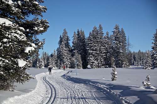
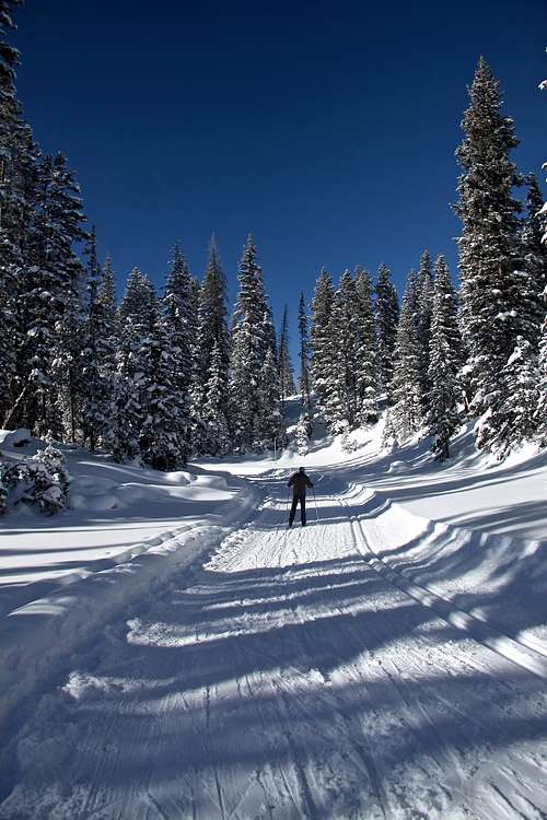
They say that Grand Mesa is the world's largest flat-top mountain, and the ski season here starts as early as Halloween and can last well into April. The trail system is not completely flat, there is some nice undulating terrain, but nothing too steep. There are several marked TH for cross country skiing with established routes, maps etc. The avalanche danger is relatively low for x-country skiing since you are staying mostly on a flat terrain and you are on the top of a mountain. Maps of trail systems are available at trailheads for free.
Most of the skiing is done in the elevation above 10,000 feet, so expect to get a good work out in less O2 environment.
 |  |
 |  |
How To Get There
All trails are reached by Colorado Highway 65. The town of Mesa is 30 miles from Grand Junction via Exit 49 on Interstate 70. Cedaredge is 14.6 miles from Delta via Colorado Hwy 65.Grand Mesa Nordic Trails
All trailheads are well marked and located along the highway 65. All ski trail are located within Grand Mesa National Forest.Skyway
Ability rating: All levels
Elevation: 10,600-10,750 ft
Distance: Various loops from 2.3 to 9.3 K. Combined total 19.6 K
Access: 17.2 miles south of Mesa, 21.4 miles north of Cedaredge; large parking lot, vault toilets
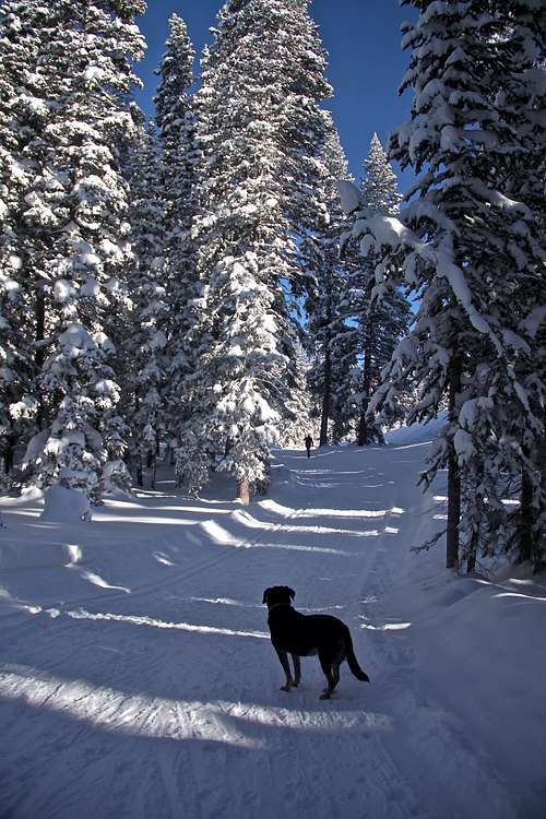
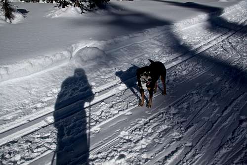
Trail Description: A variety of trails regularly groomed for skate and classic loop through groves of timber with some open areas. A northern overlook from Sunset Trail offers breathtaking views towards the Bookcliffs and the Battlements. Linking trails provide access to to the County Line Trail system - it is well marked and uphill. Dog owners please use any other trail system to Skyway dog free.
County Line My son's favorite
Ability rating: Beginner-intermediate
Elevation: 10,839 ft-10.786 ft
Distance: Various loops from 1.1K to 7.4K; combined trail total 14.1K
Avalance danger: very low
Access: 19.6 miles south of Mesa, 19 miles north of Cedaredge, moderate size parking lot (can be busy on weekends), vault toilets
Trail Description: Various loops groomed for skate and classic including a designated dog trail plus a marked backcountry loop. A spectacular souther overlook of the San Juan and West Elk Mountains is approximately 3K east of the parking area. Linking trail provide access to the Skyway Trail System. All turn-offs are well marked and the linking trail to Skyway is all down hill.
Ward Lake/Ward Creek Reservoir
Ability rating: Intermediate and up
Elevation: 9,760 - 10,290 ft
Distance: Various trail from 2.4K - 16K
Avalanche danger: low
Access: Upper access from Grand Mesa Visitor Center 22.6 miles south of Mesa, 16 miles north of Cedaredge. Lower access from Ward Creek reservoir 24.4 miles south of Mesa, 14.2 miles north of Cedaredge. There is a moderate size parking lot, vault toilets.
Trail Description: A variety of trails skirt around lakes and through groves of pine and aspen and across mountain meadows. Trails are moderately packed, not for skating - more narrow. There are good views of San Juan and West Elk Mountains. The trail descends 530 feet from the top to the bottom. Some sections are little steep.
 Skyway TH
 |  County Line trails
 | 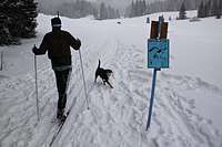 Maps along trails
 |  Endless pretty trails
 |  Lake Ward trails
 |
Equipment
Cross country (=nordic) ski set - if you don't own one, you can rent oneRental options:
Summit Canyon Mountaineering in Grand Junction
REI in Grand Junction
Lodging and Food
Lodging: Grand Mesa LodgeThunder Mountain Lodge
Food: Restaurant: Thunder Mountain Lodge
Snacks: Grand Mesa Lodge
External Links
Grand Mesa Nordic CouncilMap of the most popular cross country ski trails.