Toggle navigation
Mountains
Routes
Images
Trip Reports
Forum
What's New
People
Areas & Ranges
Articles
Trailheads
Canyons
Huts & Campgrounds
Albums
Logistical Centers
Fact Sheets
Lists
Custom Objects
Gear
Plans & Partners
WELCOME TO SUMMITPOST
SIGN IN
REGISTER
Grayback Mountain (OR)
Additional Parents
The O'brien trail
From A Slide To Tye: A 2012 Retrospective
Image
Grayback Mountain
View High-Resolution Image
Grayback Mountain
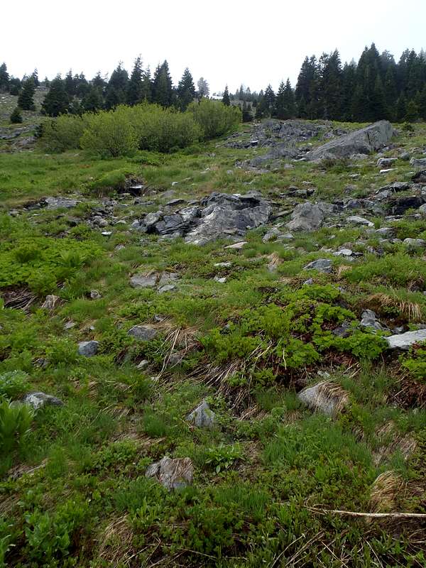
Leaving the Boundary Trail #1207 to head up the eastern slopes of Grayback Mountain, the Josephine County Highpoint. Photo taken on June 30, 2012.
« PREV
NEXT »
Redwic
on
Sep 25, 2012 11:41 pm
Comments & voting
Other parents
Lat/Lon:
42.10984°N / 123.31254°W
Image Type(s):
Hiking
Image ID:
816276
2255 Hits
71.06
% Score
1
Votes
Log in to vote
Comments
No comments posted yet.
to post!
Don't have an account?
Grayback Mountain (OR)
(Mountain/Rock)
« PREV
Viewing
#31 of 37
GALLERY
NEXT »
Redwic's Image Gallery
« PREV
Viewing
#2464 of 3228
GALLERY
NEXT »
The O'brien trail
(Route)
Loading....
From A Slide To Tye: A 2012 Retrospective
(Trip Report)
Loading....
×
You need to login in order to vote!
User Name
Password
Remember me
Forgot your password?
Log me out when I close my browser.
Keep me logged in all the time.
sign in as a user
Don't have an account?
Register now for FREE
Rating available
Suggested routes for you
People who climb the same things as you
Comments Available
Create Albums
Register Here


