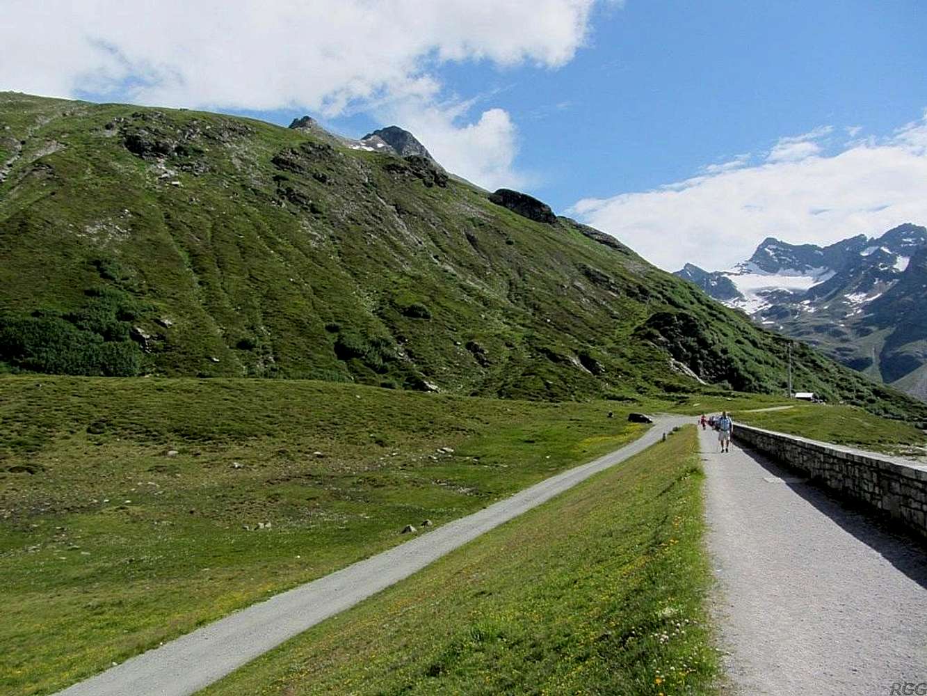
Seen from Bielerhöhe, or, more precisely from the dam above the Kleinvermunt valley, on the east side of Bielerhöhe.
The normal route to the summit of Hohes Rad isn't visible in this picture. It starts as a hiking trail, left of this picture, and ends with a bit of easy scrambling, eventually reaching the summit from the east.


