Comments
No comments posted yet.
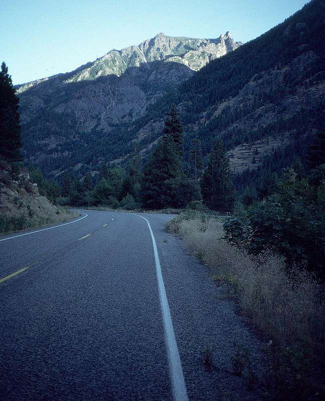
It's a downhill coast on the bicycle from here. After a dayhike of 17 miles and a 7140-foot elevation gain, I'm sweaty and freezing.
Edwards Mesa, above, is visible to the N from Prusik Peak. The pointy guy to its right is The Mole, part of the Rat Creek Group of towers. Derek and I once took the shortcut up Hook Creek to Edwards Mesa – a 6000-foot gain straight up from this road, with packs for a week's camping and climbing. Even some aid gear on that one. Near the top of the steep gully, we found there were two climbers up there ahead of us – and they were trundling boulders down our gully just for fun. Then they decided they didn't have time to go back down to the car, so they spent the night, warmed by a fire they built on some of the most pristine ground I've ever seen. It was some time after that trip that I bought a gun.
My plan on that trip was to live the week in running shoes and rock shoes. I didn't carry boots at all. That night we had a tremendous thunderstorm; we woke up to 2 inches of snow. It was another day before The Mole dried off enough for climbing. It was worth the wait. So was the rappel.
The tower that appears to be right next The Mole is The Blockhouse.


