

Nyle Walton - Jul 30, 2005 10:17 am - Hasn't voted
Impressive.I wish to congratulate you for your devotion to mountaineering and the Interactive Project of 3-D mapping of the Wasatch. I wish that I had had all of the information fifty years ago when I was your age hiking among the peaks of that magnificent backdrop to the Salt Lake and Utah valleys. nylekwalton@yahoo.com
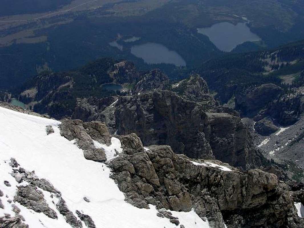
Nyle Walton - Jul 30, 2005 10:29 am - Hasn't voted
Re: Impressive.I gazed down upon these same lakes from the top of the Grand in August of 1950. I only had a browny camera but took enough black and white pictures to submit and publish in a full-page article, "Feet on the Teton," Salt Lake Tribune Magazine, September, 1950. nylekwalton@yahoo.com

PellucidWombat - Aug 1, 2005 10:41 am - Hasn't voted
Re: Impressive.Thanks for the kind words! I'm glad that people are enjoying the map - my main intent was for it to help people graps the range better and look up SP peaks from a spatial organization rather than alphabetical.
It sure is amazing what can be done with technology these days - I've used aerial photos to help plan new route ideas in the Wasatch (more for minimizing bushwacking), but also to better study the Kaweah range in the Sierras, which I've never been to, but hope to climb this winter.
PellucidWombat - Aug 1, 2005 10:37 am - Hasn't voted
Re: Seems like...Ahh, thanks for the clarification. I thought the monolith seemed a little distant for the East Ridge, but I knew that it wasn't Underhill as it was further to our right (and looks very different!). You're probably right about it being Disappointment Pk - I'll make the correction :-D


Comments
Post a Comment