Toggle navigation
Mountains
Routes
Images
Trip Reports
Forum
What's New
People
Areas & Ranges
Articles
Trailheads
Canyons
Huts & Campgrounds
Albums
Logistical Centers
Fact Sheets
Lists
Custom Objects
Gear
Plans & Partners
WELCOME TO SUMMITPOST
SIGN IN
REGISTER
Kirchlispitzen
Additional Parents
Image
Kirchlispitzen
View High-Resolution Image
Kirchlispitzen
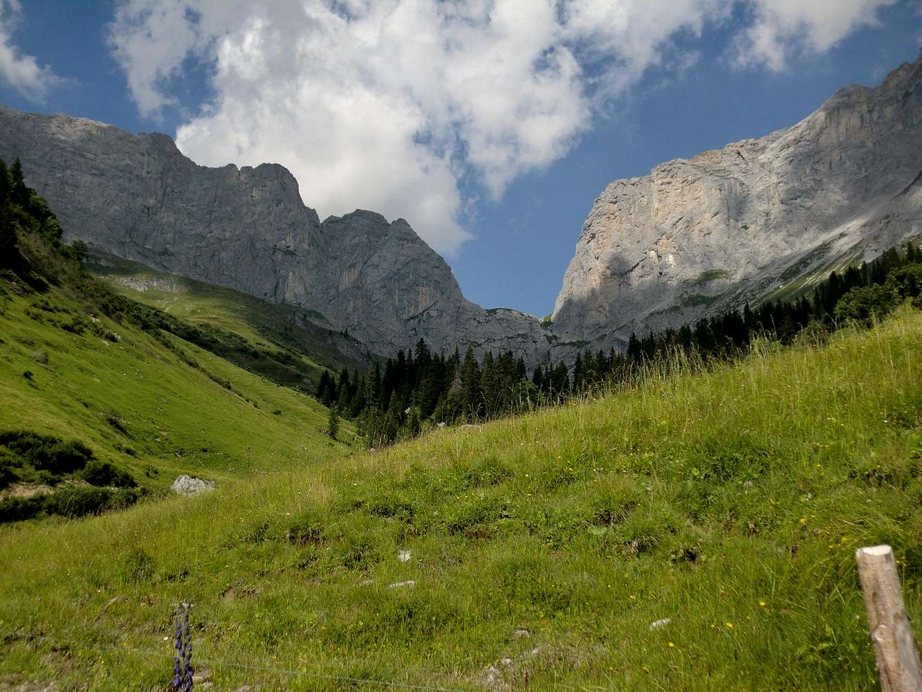
The
Kirchlispitzen
(left) seen from Grüscher Alp, which is the starting point for all the routes on the south face. The mountain on the right is the Drusenfluh. Both mountains are separated by the Schweizer Tor.
Rätikon - august 2012
« PREV
NEXT »
Jurgen
on
Sep 9, 2012 9:02 am
Comments & voting
Other parents
Lat/Lon:
47.03866°N / 9.77474°E
Image Type(s):
Rock Climbing
Image ID:
812560
1725 Hits
73.06
% Score
3
Votes
Log in to vote
Comments
No comments posted yet.
to post!
Don't have an account?
Kirchlispitzen
(Mountain/Rock)
« PREV
Viewing
#11 of 13
GALLERY
NEXT »
Jurgen's Image Gallery
« PREV
Viewing
#633 of 689
GALLERY
NEXT »
Kamala
(Route)
Loading....
×
You need to login in order to vote!
User Name
Password
Remember me
Forgot your password?
Log me out when I close my browser.
Keep me logged in all the time.
sign in as a user
Don't have an account?
Register now for FREE
Rating available
Suggested routes for you
People who climb the same things as you
Comments Available
Create Albums
Register Here


