
|
|
Trip Report |
|---|---|
|
|
40.27152°N / 111.61696°W |
|
|
Download GPX » View Route on Map |
|
|
Jul 8, 2022 |
|
|
Hiking, Mountaineering |
|
|
Summer |
Overview
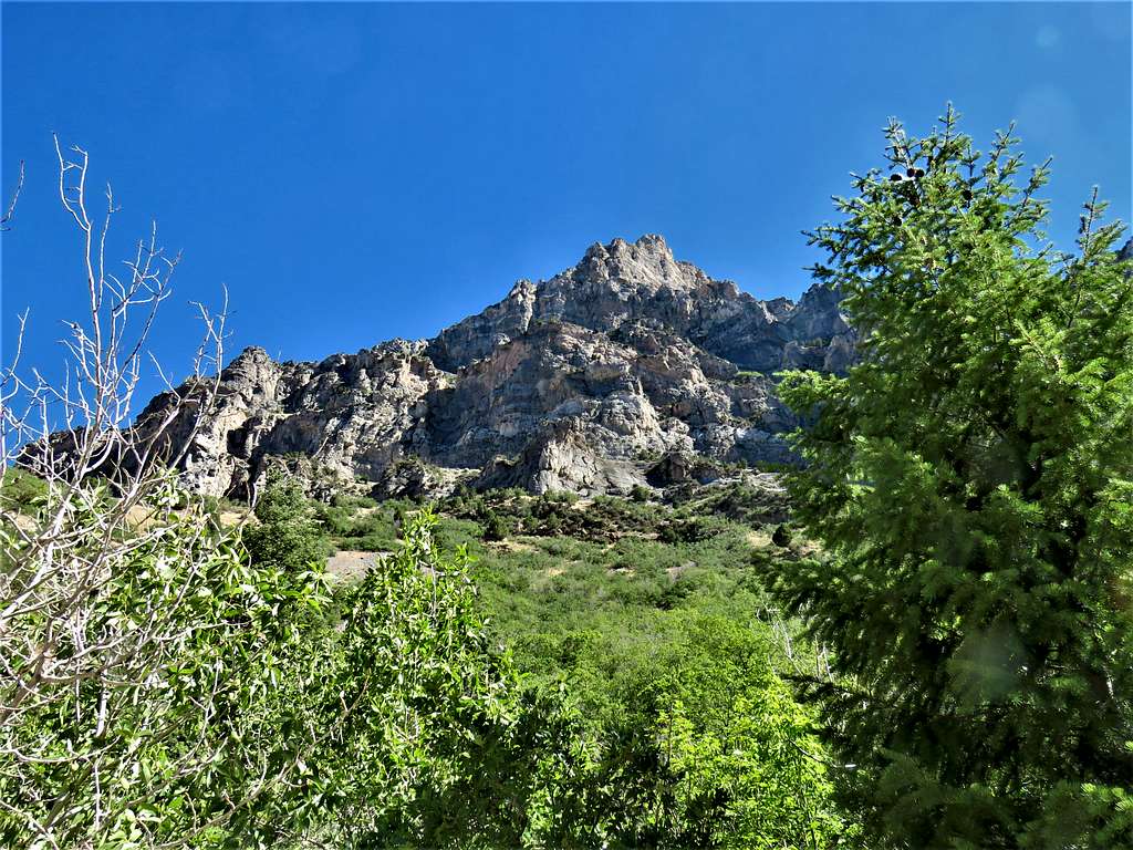
The 7876 ft Kyhv Peak (formerly known as Squaw Mountain) rises immediately to the east of the city of Provo, Utah. While its summit soars 3400 vertical feet above the surface of Utah Lake and the metropolitan area, the summit of Kyhv Peak is much lower than the 10 000 and 11 000 ft peaks farther east. A trail starts at the end of a neighborhood street and goes up Rock Canyon and then a branch of it to reach the summit of Kyhv Peak.
I did this hike on an early July day when high temperature in the city was supposed to exceed 100 degrees Fahrenheit.
Trip Report
Hike Length: 7.6 miles
Trailhead Elevation: 5130 ft
Total Ascent: 2765 ft
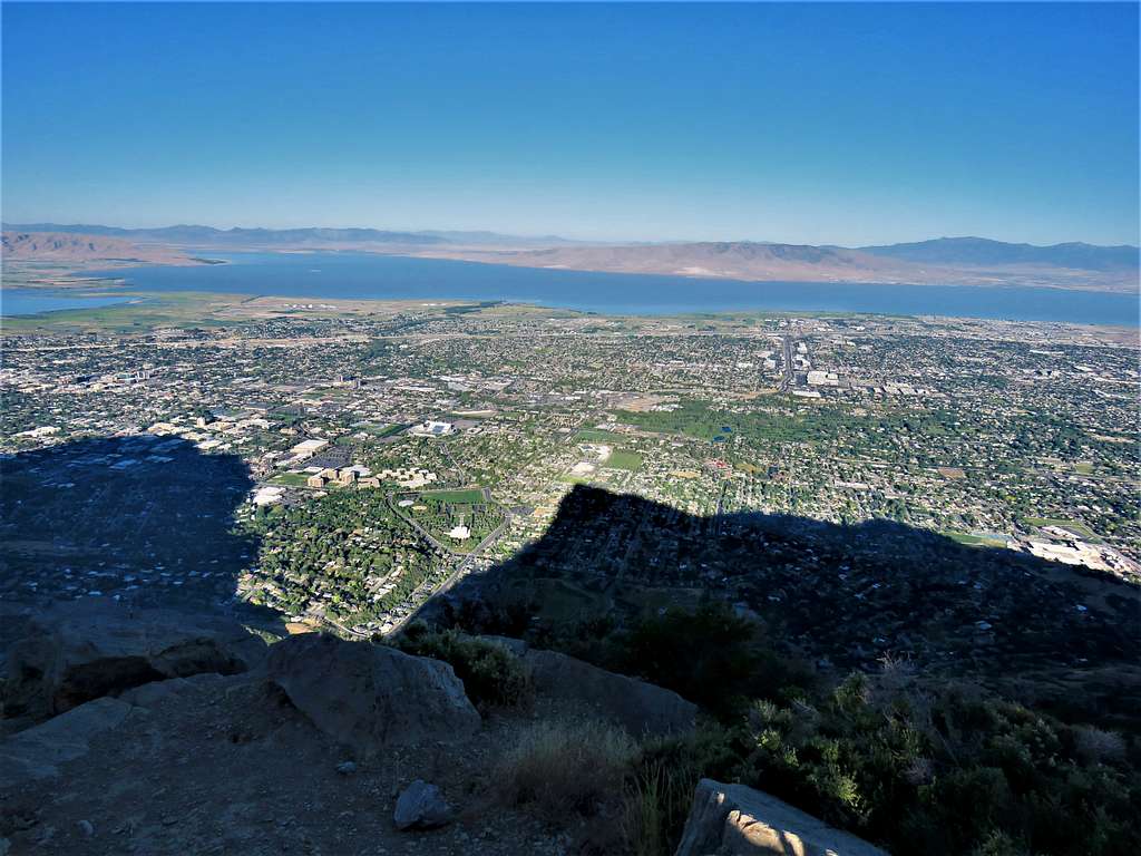
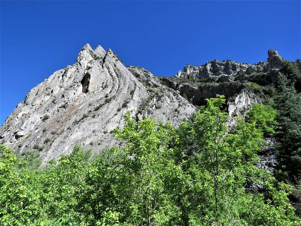
Left the vacation rental house in Orem, Utah at 5 AM (sunrise around 6:10). Afternoon high temperature was supposed to exceed 100 degrees F so I was in somewhat of a hurry to make it to the top and back down before it got too hot. I only had a 7-mile drive through the city. As I was approaching trailhead while driving on a street, Shadow of Squaw Mountain came to view.
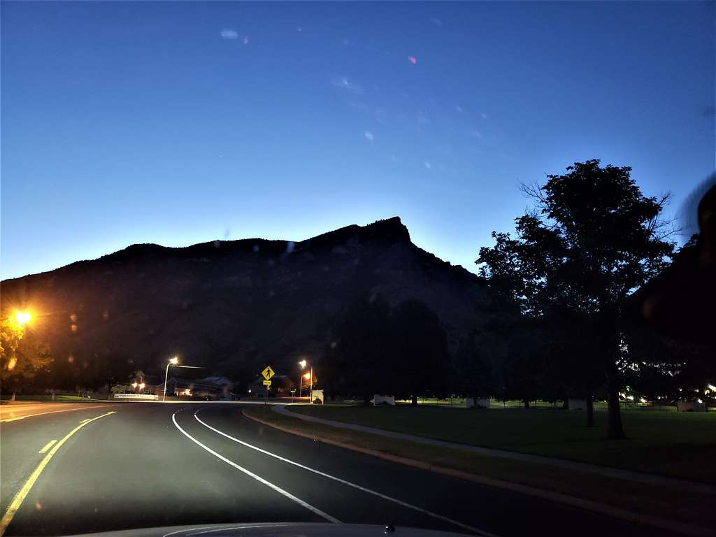
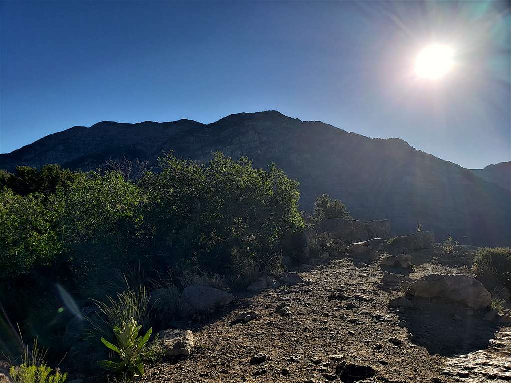
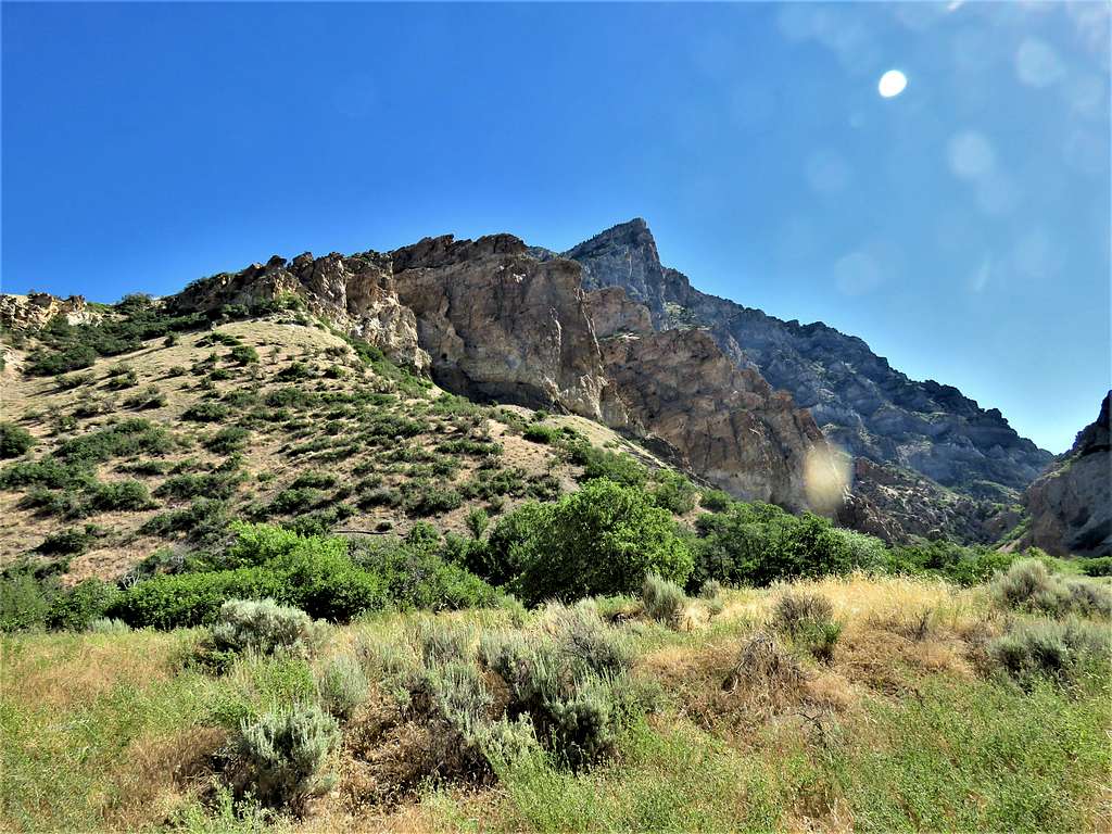
Was soon at Rock Canyon trailhead. It was still rather dark, and I was hesitant to start my hike. Wasted some time until I saw two other cars coming. They turned out to be joggers and began to jog up the canyon. I left at 5:42 AM when it was 68 degrees F, elevation 5130 ft. Headed east up the trail going into Rock Canyon.
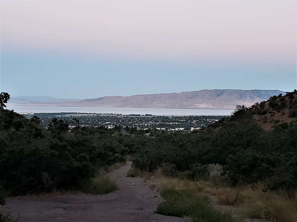
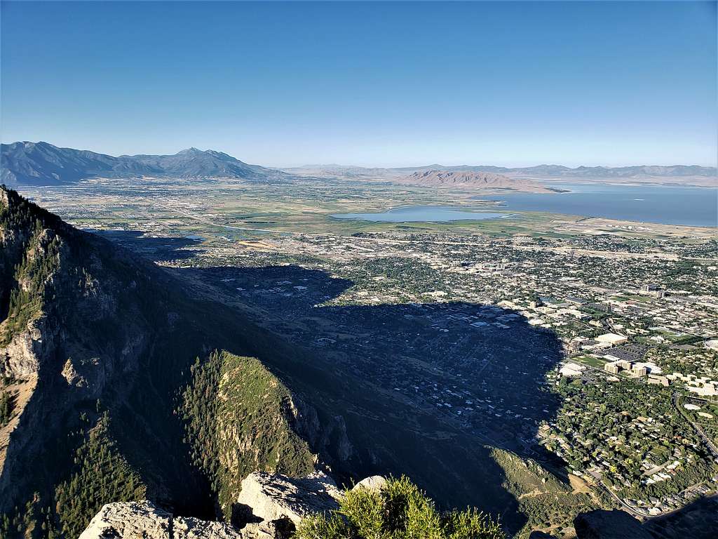
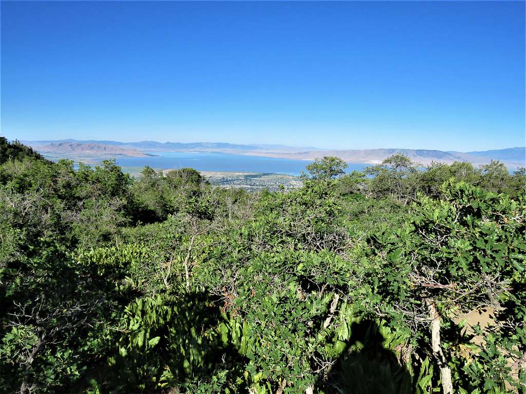
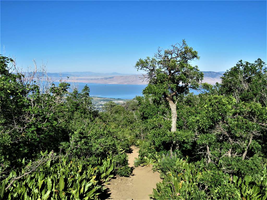
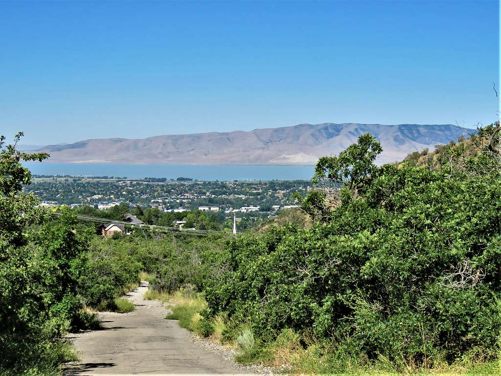
A look back at Utah Lake and the city.
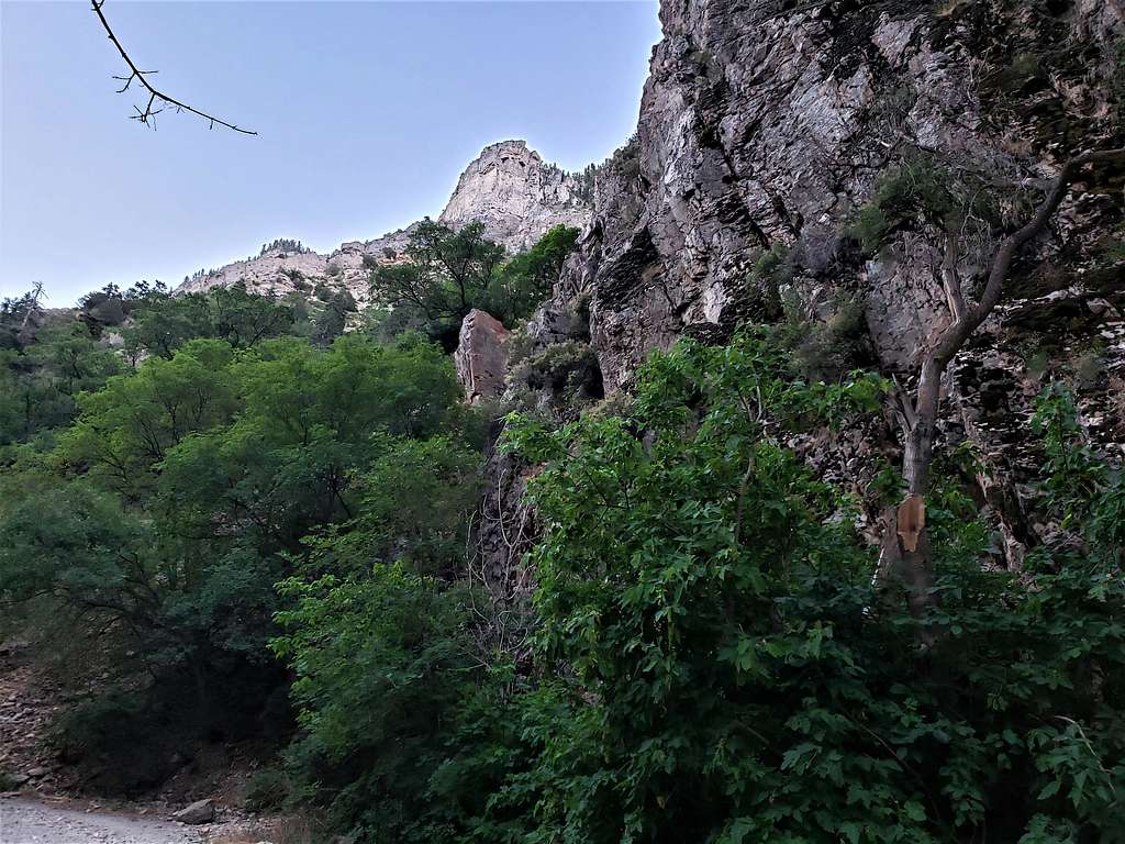
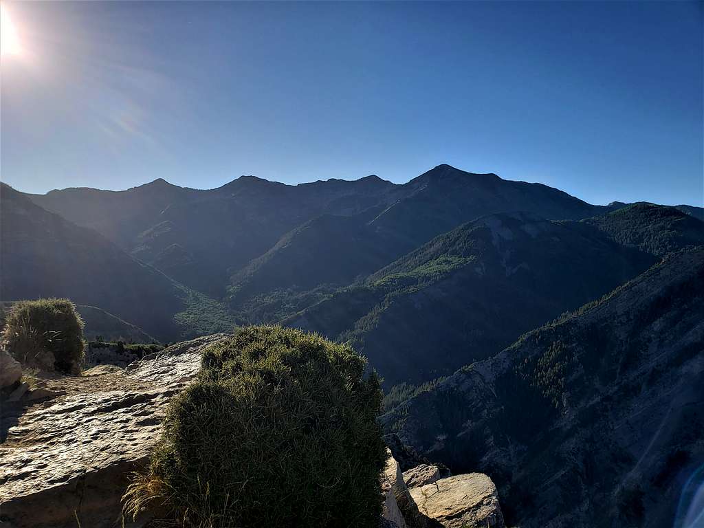
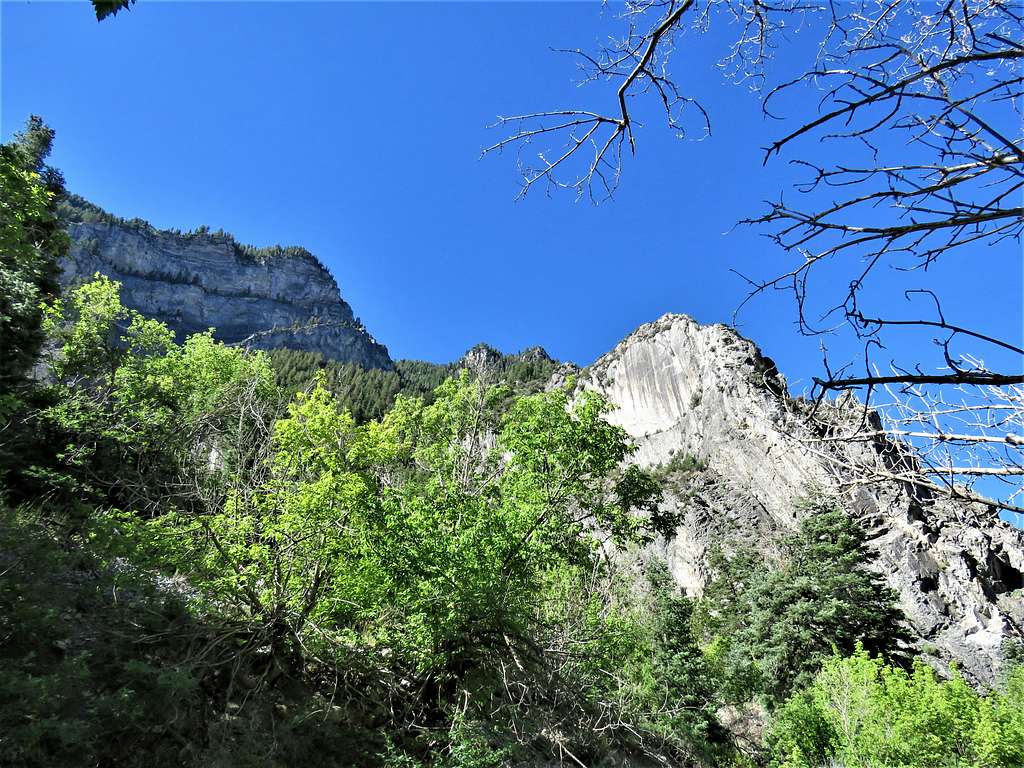
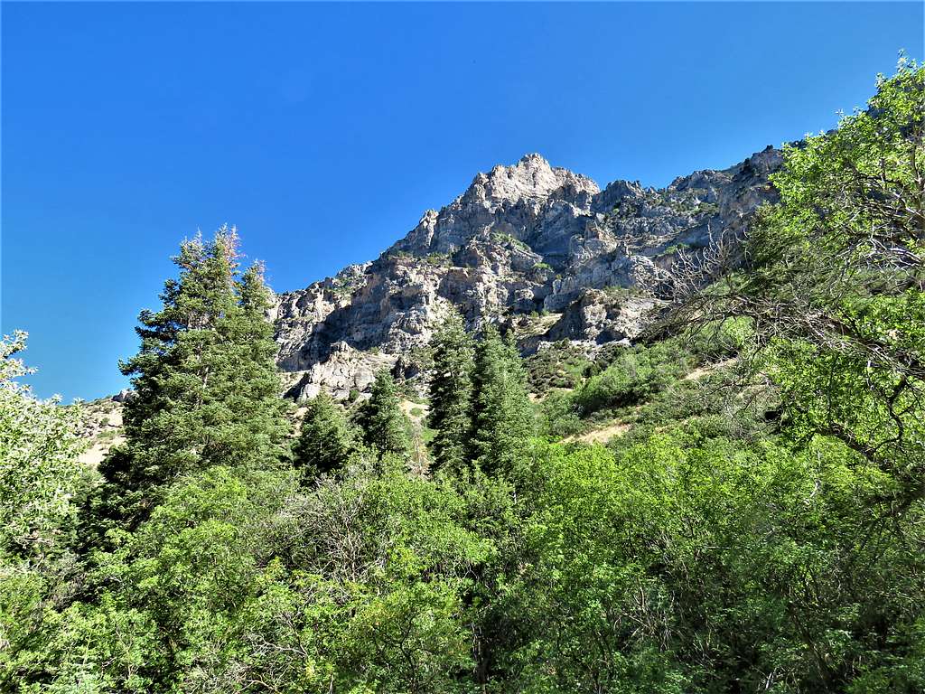
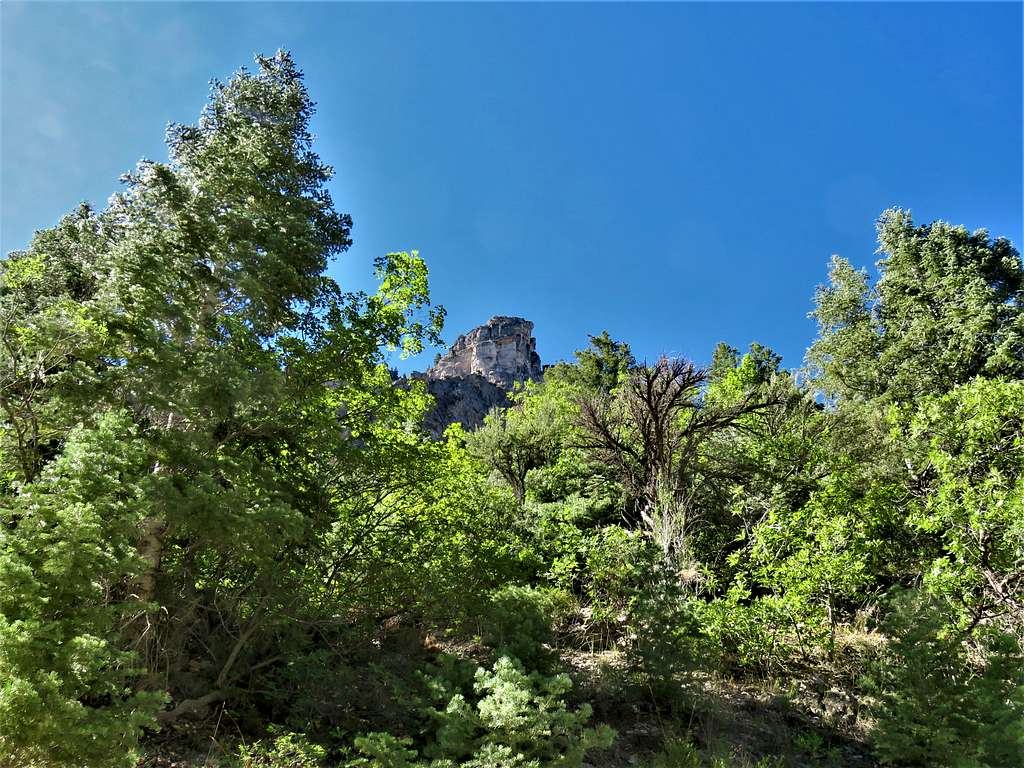
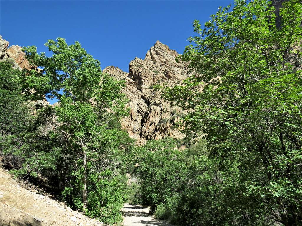
Up the canyon.
The lake again.
At 6:31 AM, 1.72 miles and 6120 ft elevation, I reached an unsigned junction in the trail. Turned left (north) following the trail, which was steep at times, up the branch of the canyon in a forest. A lone lady and then two men went by me jogging up the trail. Was that their usual morning jog before going to work? And I went there all the way from Wisconsin with backpack and hiking poles to “climb” Squaw Mountain?
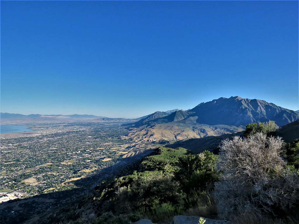
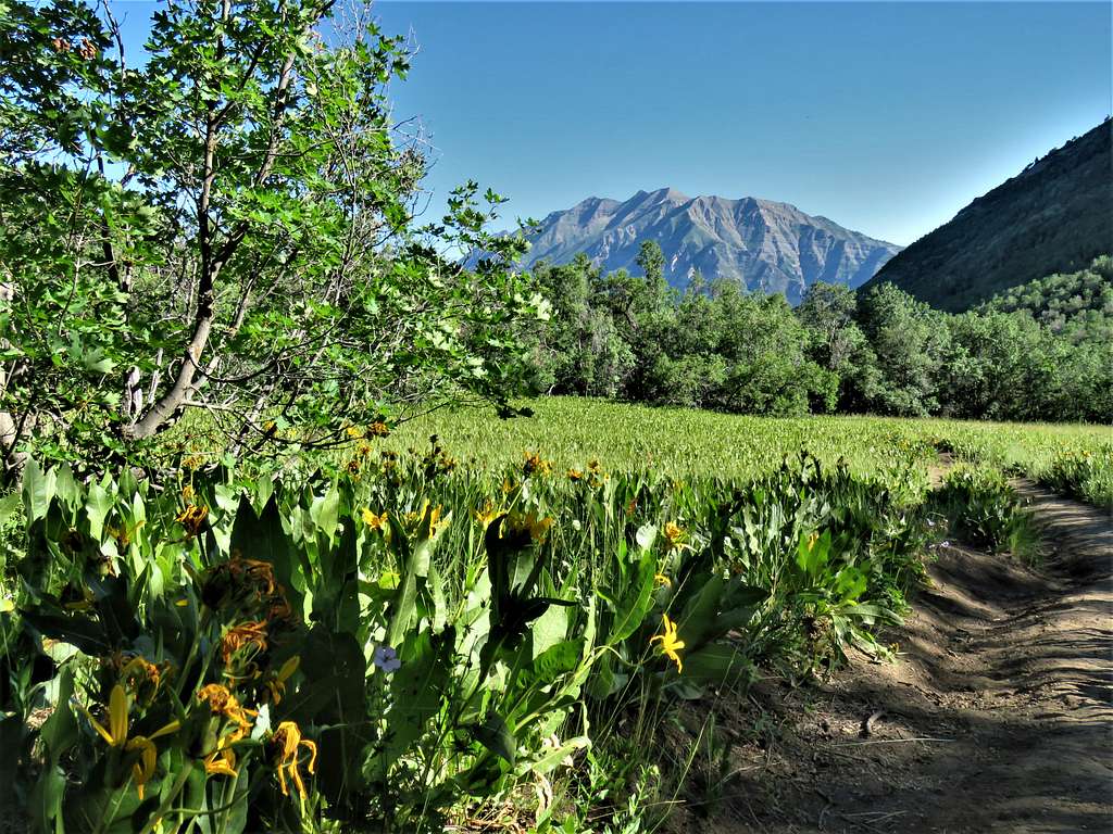
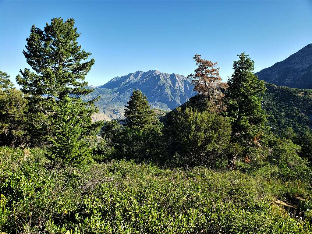
At above 7200 ft, a beautiful open meadow appeared. The tip of Mt. Timpanogos came to view.
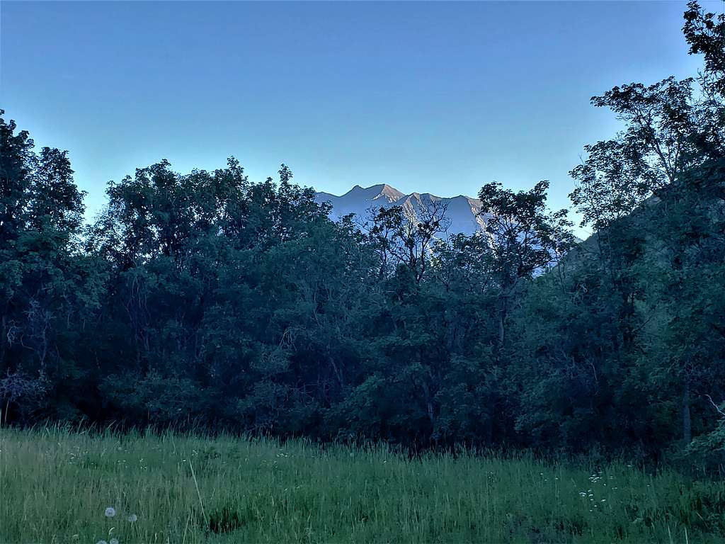
The trail made a broad U-turn heading south toward the summit of Squaw Mountain. I got glimpses of Utah Lake from the beautiful meadow. Ran into all those joggers again going downhill.
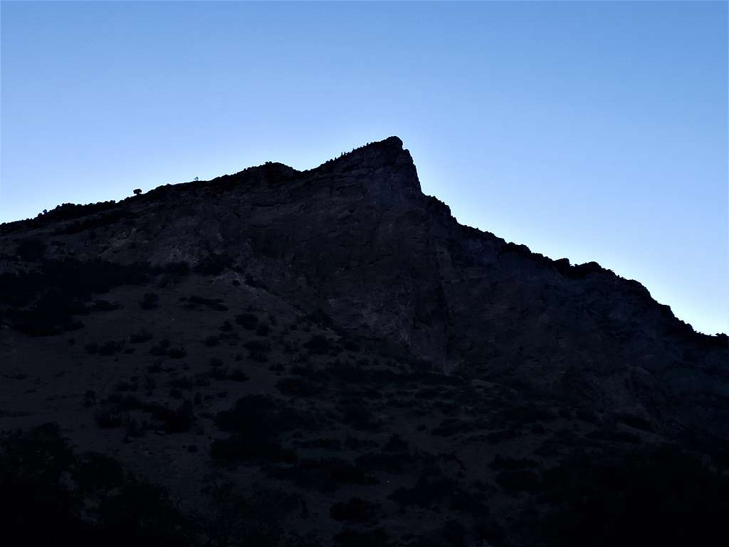
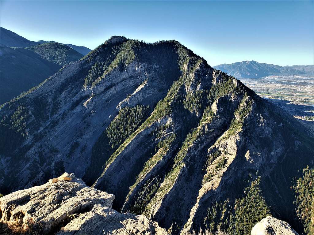
Below the summit.
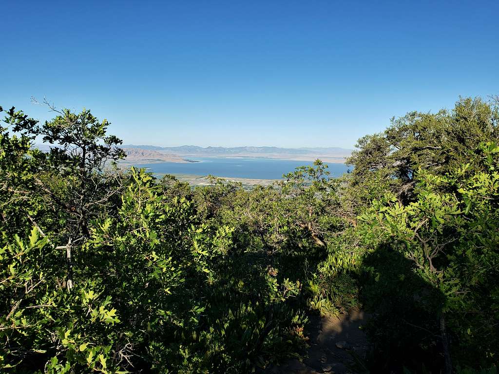
Reached the summit at 7:53 AM and 3.74 miles. No one was there. The view was incredible. Although 3000 ft lower, the city felt as if it was right under my feet. Squaw Mountain and Y Mountain, cast long shadows over parts of the city. Utah Lake was a blue gem among the brown arid lands to the west.
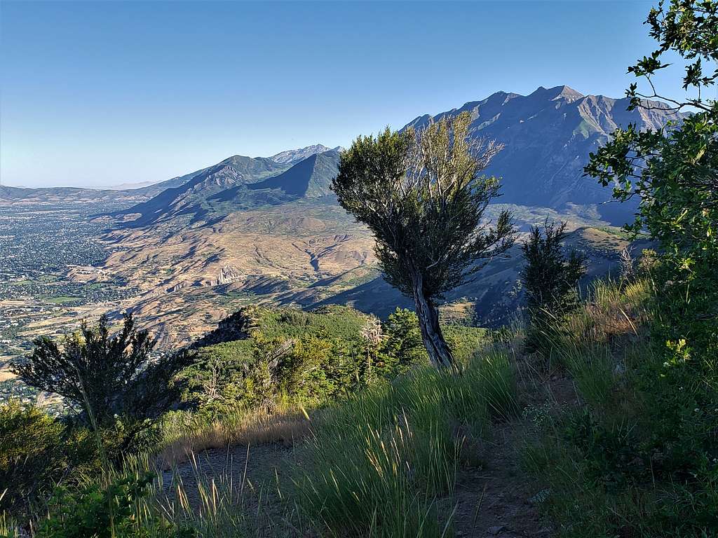
Mt. Timpanogos (11749 ft) to the north.
Cascade Mountain (10908 ft) to the northeast.
Provo Peak (11068 ft), Provo East Peak, Freedom Peak and Shingle Mill Peak Plus the lower Lions Head Peak to the east.
Y Mountain to the south.
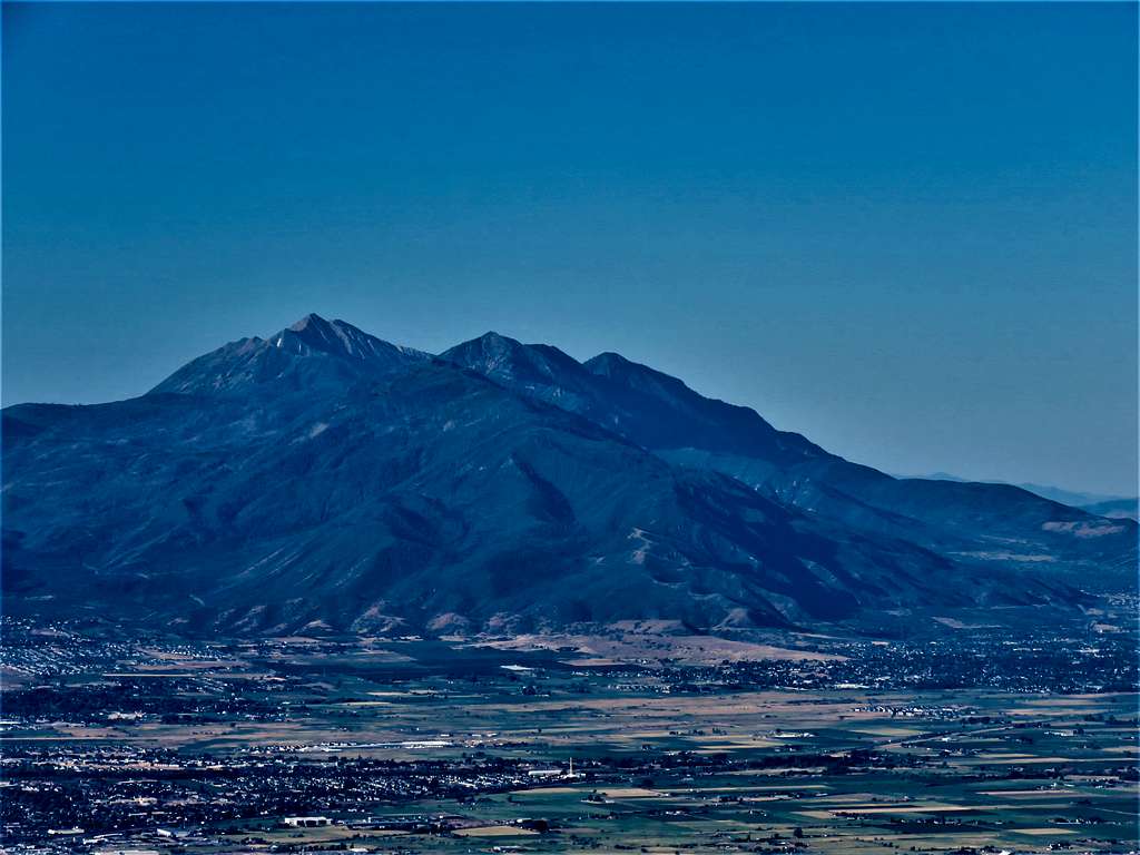
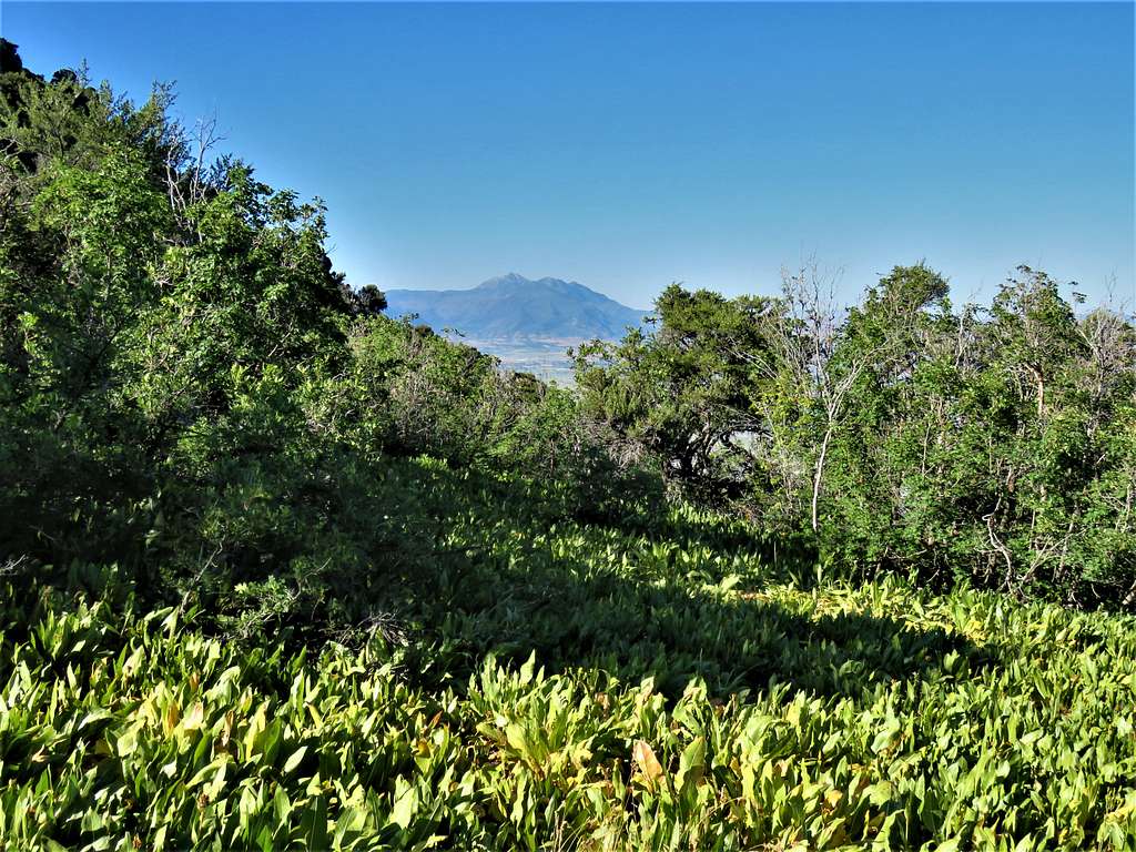
Mount Nebo to the south.
Sat down to eat and enjoy the views. A couple made it up to the summit. I left at 8:23 AM.
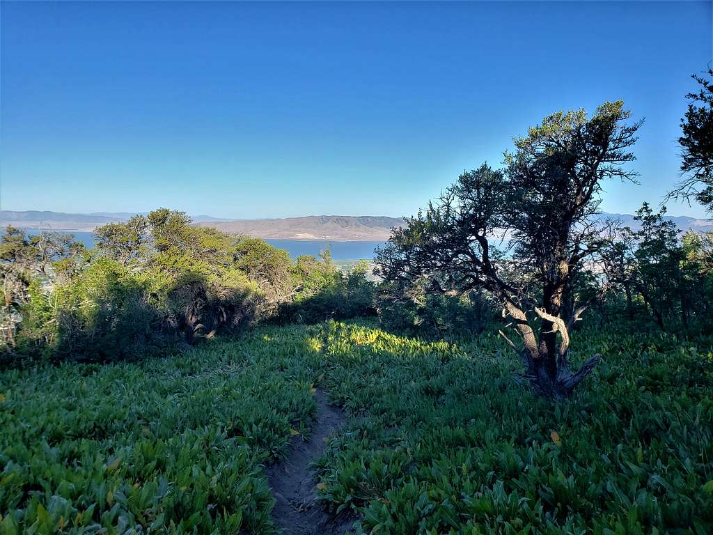
Great views of Utah Lake from the meadow area.

Mount Nebo.
More views of Mt. Timpanogos.
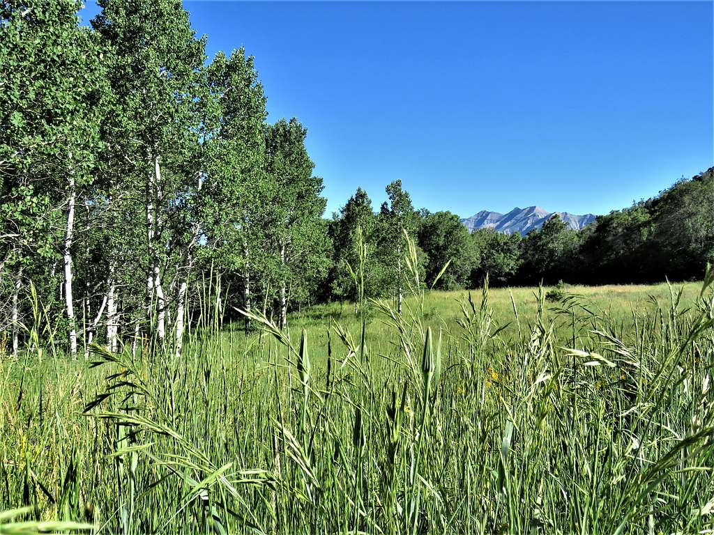
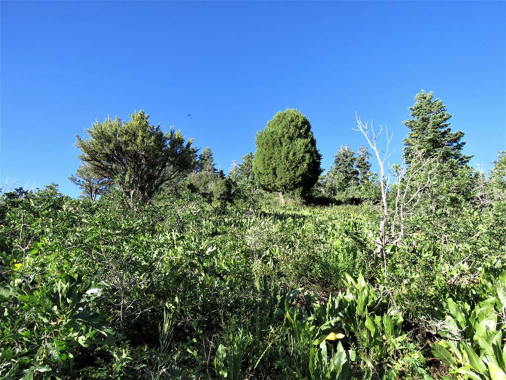
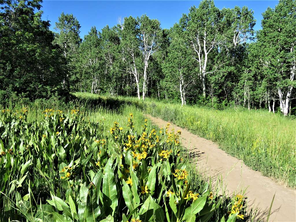
Meadow.
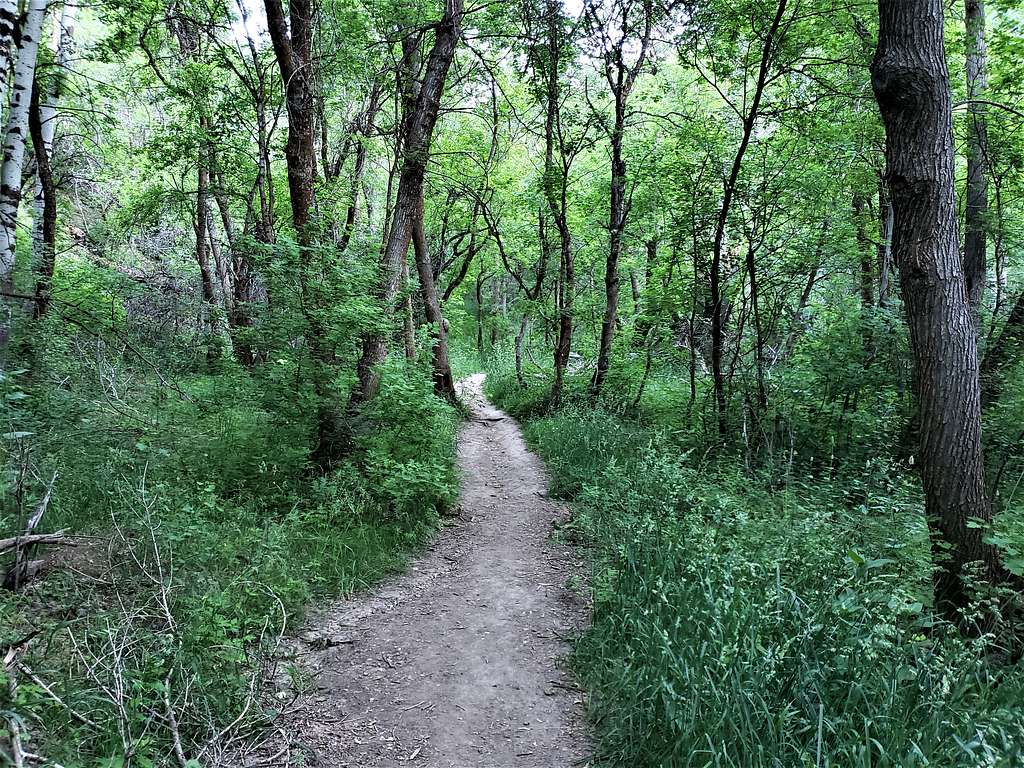
I was then in the forest going down the branch of Rock Canyon. Saw a couple with their dogs coming up. They said their dog noted a rattle snake in the bush close to the trail very close to me. The lady came up the trail very carefully toward me. The bush was dense, and I could not see the snake, but I went down cautiously until she said I was past it.
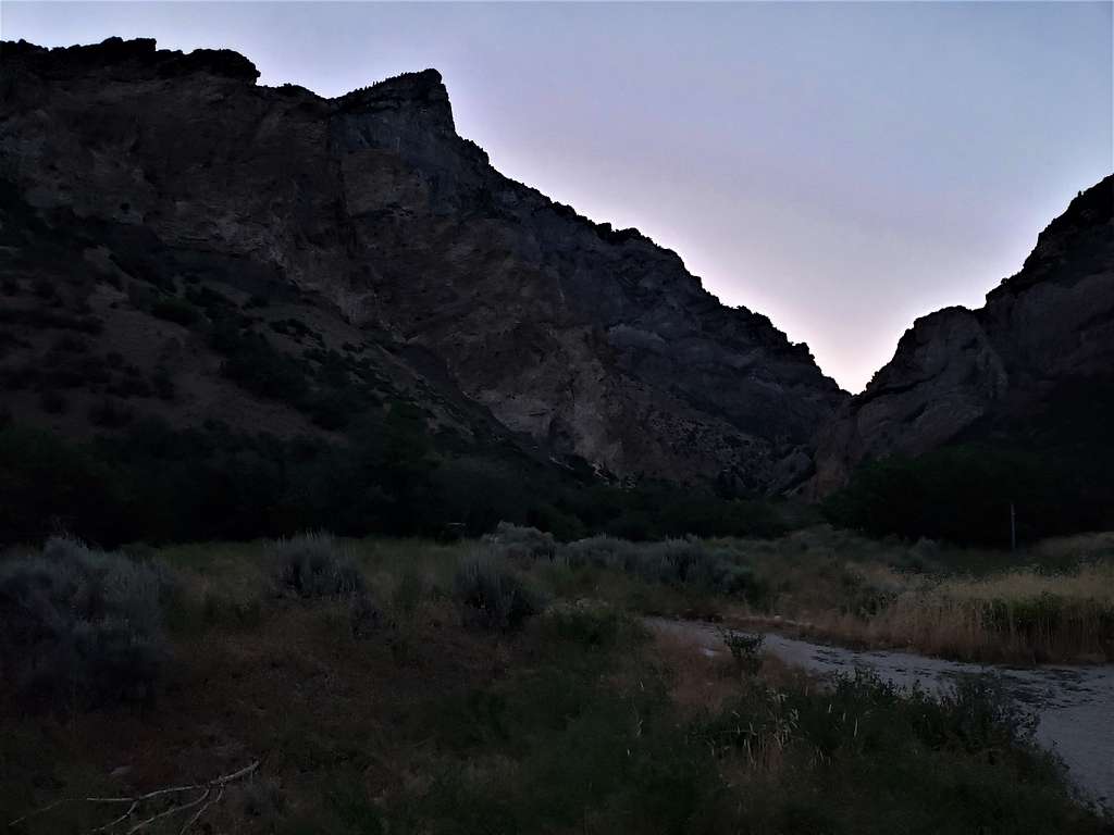
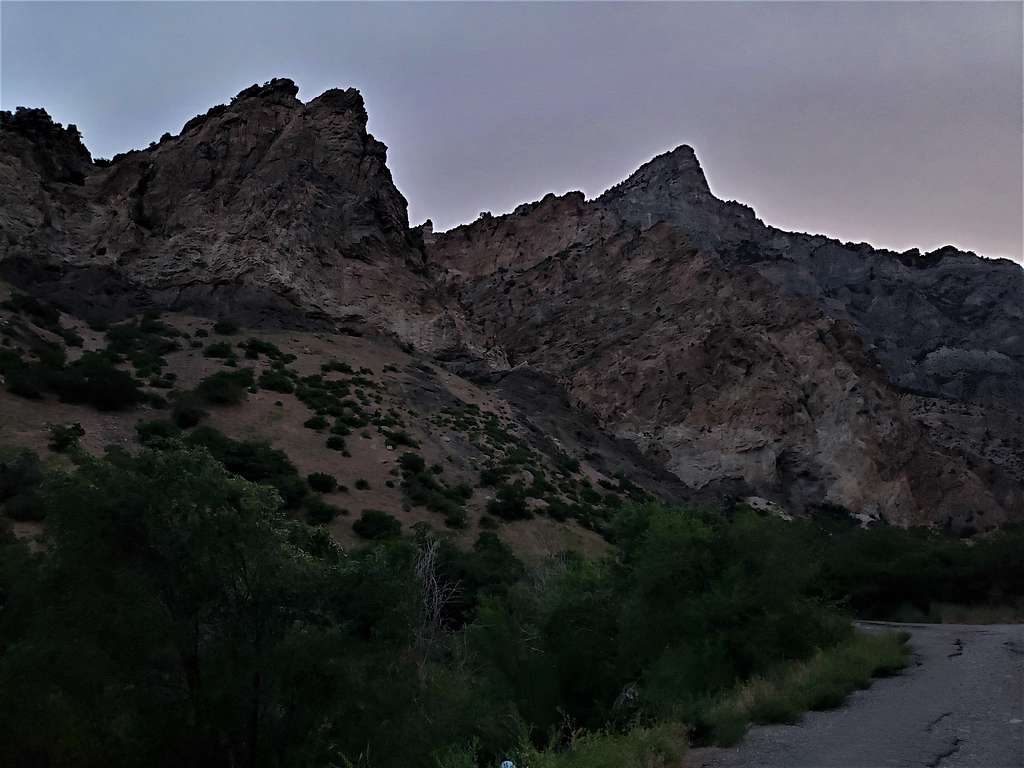
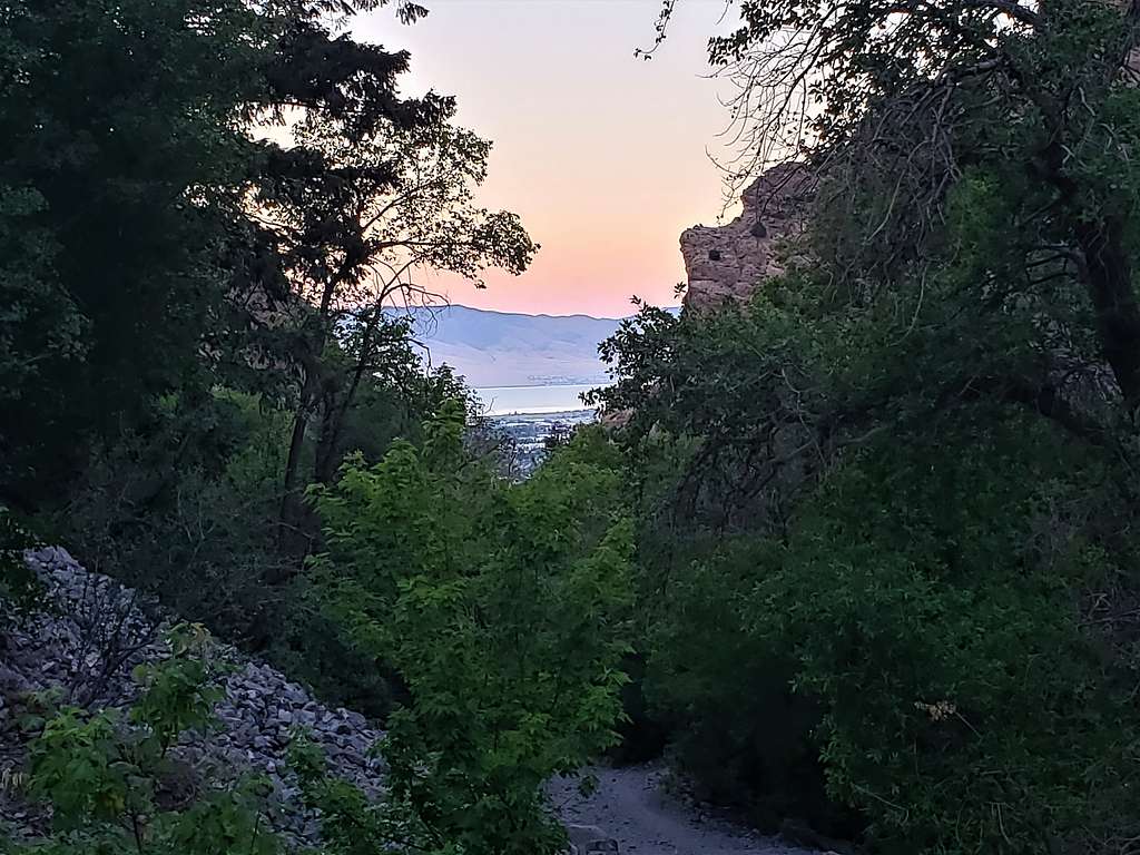
Reached the bottom of Rock Canyon at 9:39 AM, 6120 ft and 5.87 miles. Was then running into hikers coming up frequently. Views from the canyon.
Utah Lake.
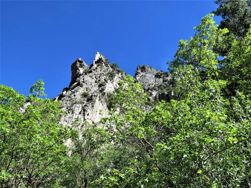
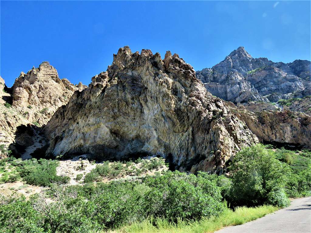
Squaw Mountain.


Comments
Post a Comment