
|
|
Mountain/Rock |
|---|---|
|
|
45.97940°N / 11.02414°E |
|
|
5177 ft / 1578 m |
|
|
Overview
The Becca di Cei is a minor summit of the Bondone-Stivo group.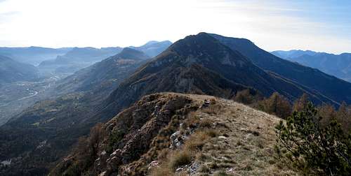
La Becca
This chain is the watershed between the Adige and Sarca valleys and is made by these summits (from S to N)
Monte Stivo 2045m,Cima Bassa 1684m, Cima Alta 1915m, Rocchetta 1661m, Becca 1578m, Monte Cornetto 2138mthe highest of the range,
and from these summits you can see a circular pano : from Lombardic Prealps to Ledro's summits with Monte Cadria, the monte Baldo, the Adamello-Presanella group joining to Brenta group and ending with to South Tirol Alps.
And, on the other side of the Adige valley, the Fassa Dolomits, the Southern Lagorai and the wide group of Vogolana, Filadonna, Pasubio, Carega and the Lessini.
Getting There
How to get there :- from Trento toward Aldeno and the, along the route n°20 to Cei.
- from Rovereto along the route 20 to Villa Lagarina, Castellano and Cei
 La Becca | 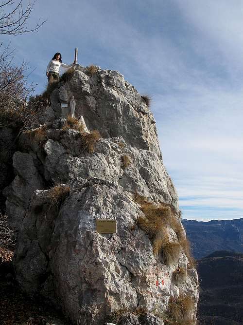 La becca | 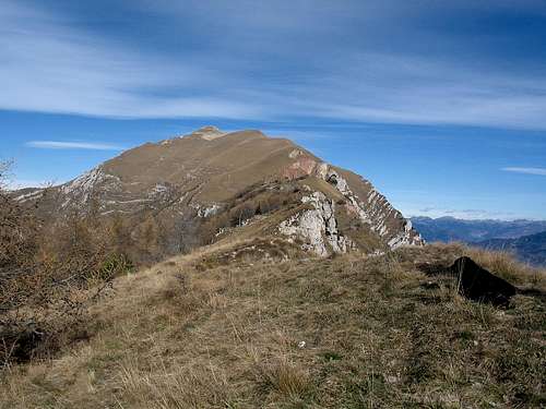 Monte Cornetto ( Bondone - Stivo range) | 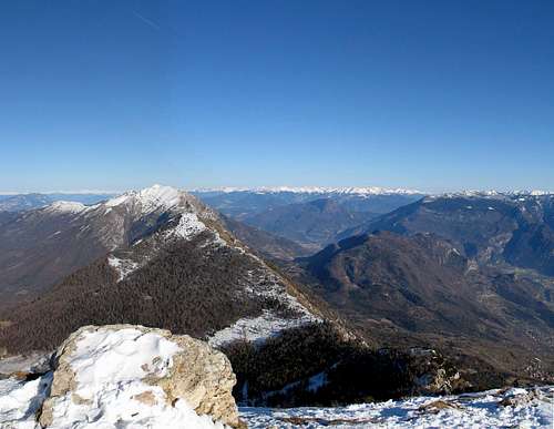 Monte Stivo |
Route
From Cei to Cornetto (Adige right side)
Starting from the lake of Cei (950m), one among the most picturesque alpin lakes, follow the path 640 that, along a series of steep hairpins, gets the summit of the Becca 1578m.
Here the path meets the panoramic path 317 that, following the ridge of the chain from S to N, leads to Monte Cornetto, the main summit of Bondone group.
Time required : ~ 1h 30' to the Becca, 2 more hours to Cornetto
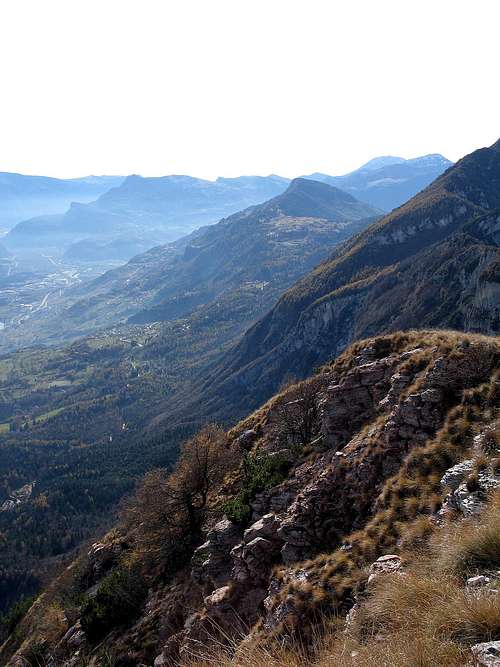 Val Lagarina | 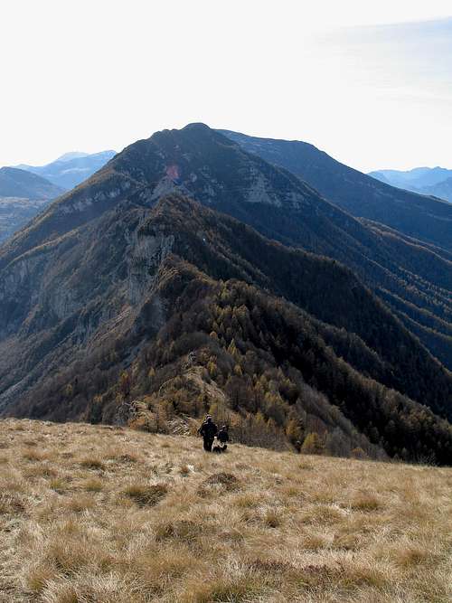 La Becca |
Red Tape
In addition to the Riserva Naturale Integrale delle tre cime (with its rilevant naturalistic aspects) there is one more area: la Torbiera delle Viote (Viote turbary) created after the fullfilling of a morainic lake, its moisty zone is particularly complex for vegetation.All around it some very fine small prairies, grasslands of Nardo (Nardus stricta), whose hay is used for hay therapy.
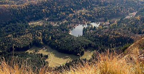
Lake Cei
Mountain Conditions
For weather and avalanche conditions in Trentino look at this pages:wetterzentrale
Meteotrentino
Meteo Alpin
Società Meteorologica Italiana
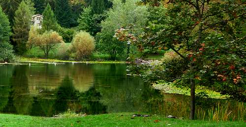
Autumn on the Lake Cei
Maps and books
External links
biotopo lago di Ceigiardino botanico Le Viotte del Bondone
Ferrata Segata