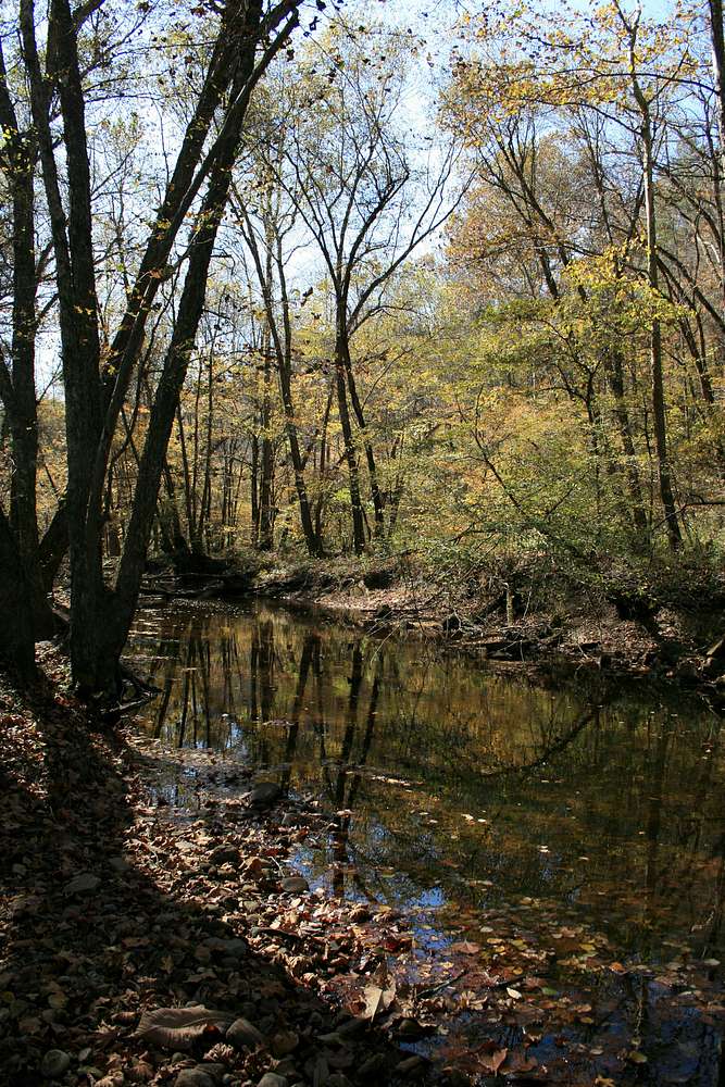
Laurel Fork, just upstream of its confluence with Station Camp Creek. This is also where the John Muir National Recreational Trail (JMNRT) crosses Laurel Fork.
While I didn't see anyone on the Laurel Fork Trail, despite gorgeous fall weather, I did encounter a half-dozen parties on the JMNRT.
October 2010.


