


Bob Sihler - Aug 9, 2009 11:13 am - Hasn't voted
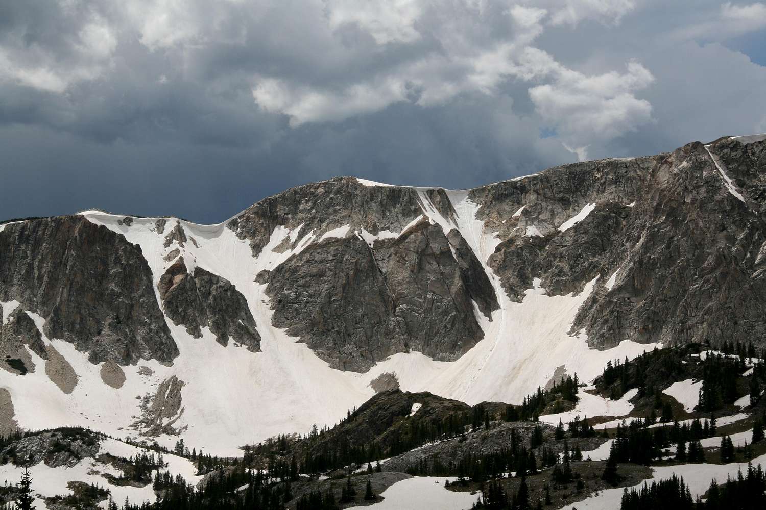
Re: Hey BobIf you mean lat/long coordinates, I don't have exact ones, but the topo map I attached gives the approximate locations very well. This view itself is from a pullout a little west of the Libby Flats overlook on the south side of the road, a little east of where the road begins to climb after it passes Bellamy Lake. A trail starts there (goes the other way, though), but my topo maps don't show either the trail or the pullout. The couloirs are really easy to find, though, once you've seen them from the road.
If it helps at all, I can attach some pictures from above in case you were thinking of hiking up and skiing down. It may not be until late next week that I can do that, though, because starting today, I won't have online access for about 8 days; I'll be in Glacier National Park.


Comments
Post a Comment