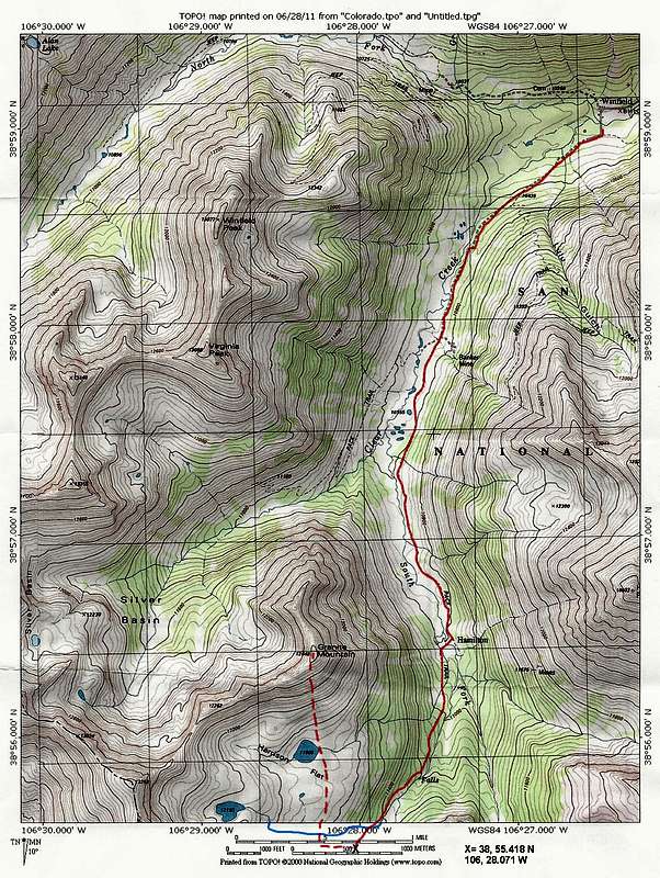
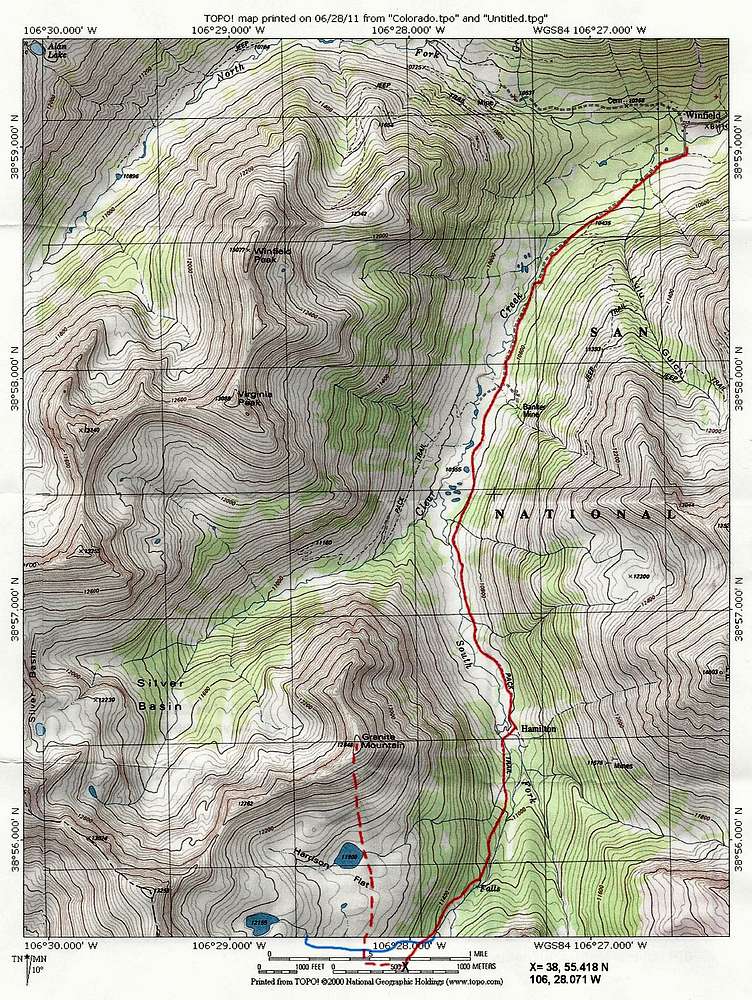
Solid red line shows the Lake Ann Trail (Lake Ann not seen in this map). Dashed red line shows the path that I took after leaving trail. GPS coordinates of the spot where I left the trail given on the map (11600 ft). Blue line shows the stream that drains Lake 12155 ft.


