
|
|
Mountain/Rock |
|---|---|
|
|
25.51548°S / 48.98174°W |
|
|
Piraquara |
|
|
Hiking, Mountaineering, Sport Climbing, Toprope, Bouldering, Scrambling, Via Ferrata |
|
|
Winter |
|
|
4396 ft / 1340 m |
|
|

When I was in Curitiba to visit my friend and hiking partner Pedro Hauck, we did it in the night in just 45 minutes. I was sick, already with leukemia, but I didn’t knew at the time. Recovering from a very recent pneumonia, still taking some pills for it, a little bit slow but over all, we were faster than most people that hike Morro do Canal, since this is a very popular mountain after all.
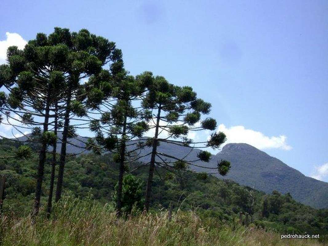
The mountain Canal is located in Piraquara county aprox 35 kms away from Curitiba, and as I said before, is the last summit of Marumbi Massif, which is part of the Marumbi Peak, Morro do Vigia among others. It has an altitude of 1.340 meters above sea level, not very impressive and even for brazilian mountains, very small. The trail is very well marked, it usually takes up to 1,5 hours to reach its summit. It provides a panoramic view of Paranaguá and Antonina cities, and the dam of Cayugava.
Getting There
Coming from Curitiba take the BR277 towards the coast, before the toll square there is a large scale for trucks, an old post of Federal Highway Police. In the other side of the road it starts the dirt road. Just before it make the return and enter the toll road that indicates “Caminho Trentino”.
Later, at the "T" junction, take the right. Later, at another junction, follow the signs that say “Chácara Santa Bárbara”, soon, take a left turn. After two steep sections of the dirt road, another junction appears, with a sign in a big and gorgeous Araucaria Tree indicating the way to Morro do Canal to the right.
Route
Very easy, very well marked, you can't miss it...Here's some sat views to get you goin'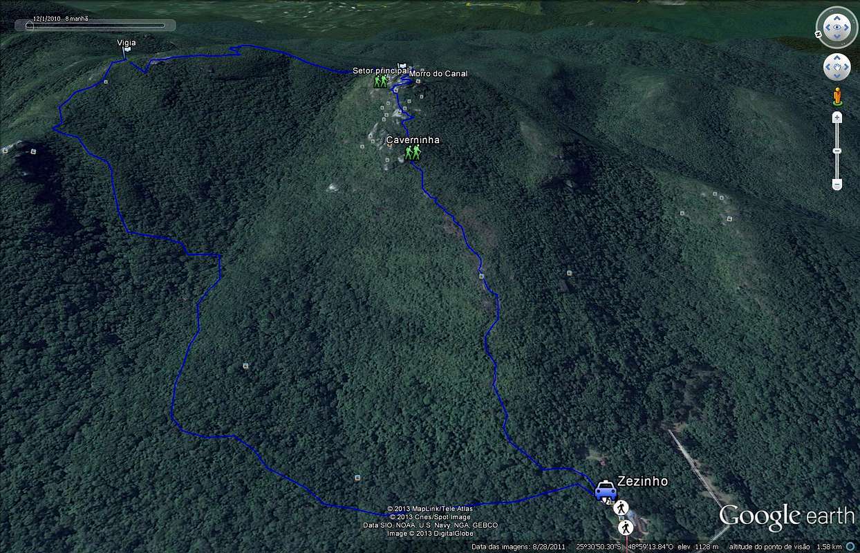

Red Tape
No red tapes for this mountain, no fees at all.When to Climb
Winter time is the best time to enjoy brazilian mountains, especially in Paraná state, where the rain is damn persistant year round. Best time from late may to late september.
Camping
No need to camp on this mountain, fast ascent and descent.But, if you do wanna do it, at the summit there is plenty of space to do it.
Kml download
Feel free to download the KML for that mountain in RUMOS.BRClick over the image to jump to Morro do Canal page on Rumos.

Weather forecast

Legal Issues
To hike/ climb is a dangerous activity and requires proper equipment and clothing, the owner of this page cannot be blamed by injuries caused to anyone who read this page for its info about the mountain, and eventually got hurt by doing so with reckless behaviour or bad weather conditions.
Paulo Roberto Felipe Schmidt – AKA: PAROFES
External Links
My youtube channel: www.youtube.com/parofes - Now with 270+ videos online!The biggest brazilian website about climbing and mountaineering, for which I'm a columnist: