


RoryKuykendall - Jan 28, 2014 9:23 pm - Voted 10/10
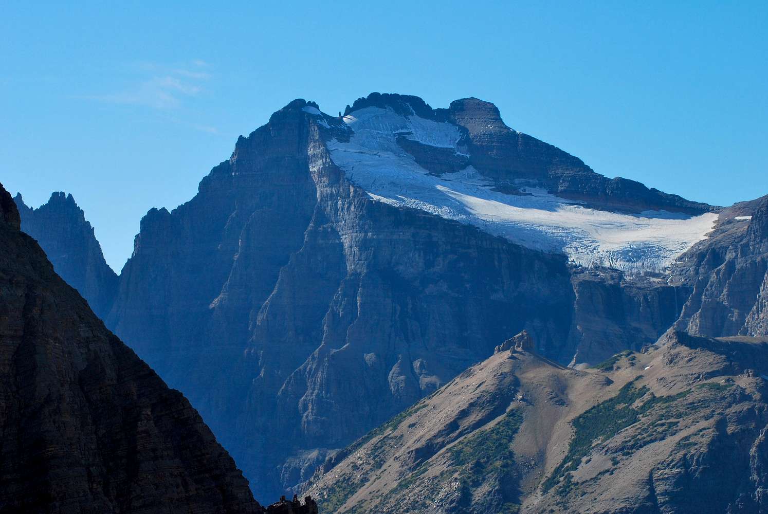
Such a sick shotSo I'm a little confused about this mountain. On the standard route from the other side, do end up ascending to the summit from this side, or do you come up totally from the other side?
What I'm trying to figure out is would it be possible for a person not carrying an ice axe and crampons to climb Merritt from this side by going around the glacier to the right.
From this photo, it looks like you could MAYBE get around the glacier late in season. But if so, could I connect with the standard route?

distressbark - Feb 2, 2014 5:00 pm - Hasn't voted
Re: Such a sick shotRory, on the standard route from the west, you do indeed end up ascending on this side. You pop out above Old Sun Glacier on the low point between Merritt, Natoas and Cossley (or Crossley) Ridge, just above and to the right of the Glacier in this photo. There is definitely an ascent route of the east face visible in this picture; I believe there is a route page and at least one trip report that I've come across. They both detail having to climb the glacier, however, and it's supposedly VERY steep. But you're right, MAYBE late in the season you'd be able to skirt Old Sun and gain the Natoas-Merritt saddle, and thereon to the standard route.


Comments
Post a Comment