
Comments
No comments posted yet.
|
|
Trip Report |
|---|---|
|
|
39.82189°N / 111.7603°W |
|
|
Download GPX » View Route on Map |
|
|
Jul 3, 2022 |
|
|
Mountaineering |
|
|
Summer |
The 11928 ft Mt. Nebo is the highest peak in Utah’s Wasatch Mountain Range and the 5th most prominent peak in the state of Utah. It is well visible from the city of Provo and the shores of Lake Utah.
Mount Nebo consists of a 5 mile long north-south running ridgeline that gives rise to many high points. North to south, the most prominent of these include:
North Peak 11174 ft
Wolf Pass Peak 11460 ft
Mount Nebo 11928 ft
Peak 11824 ft
Peak 11877 ft
I climbed Mt. Nebo via its shortest path which starts at a 9260 ft trailhead to the northeast of the summit. Although the difference between the elevation of the summit and the trailhead is only 2668 ft, due to the many ups and downs on the trail, the roundtrip total ascent was measured at 4180 ft by my GPS (3750 ft per Caltopo mapping website, big discrepancy).
Hike Length: 9.6 miles
Trailhead Elevation: 9260 ft
Summit Elevation: 11928 ft
Total Ascent: 4180 ft per my GPS, 3750 ft per Caltopo mapping website (Due to much up and down)
Left the vacation rental house in Orem, Utah at 5 AM when it was still mostly dark (sunrise was at a few minutes after 6). It was 72 degrees F and the high temperature in the city was supposed to go into the 90s degrees F. I obviously knew that it would be cooler in the mountains but was still worried that by the afternoon hours, it might get too hot even up in the mountains.
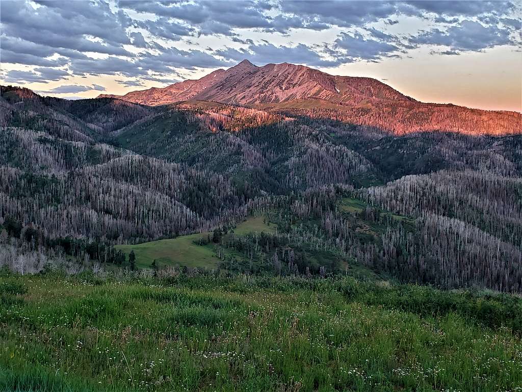
Drove 20 miles south on I-15 and got on Nebo Loop Scenic Byway which was a winding road that went up the mountains. At a lookout a few miles before the trailhead, I stopped to take a picture of sunrise over Mt. Nebo.
After driving more than 20 miles on the Nebo Scenic Byway, I turned onto a dirt road and went less than half a mile to reach Mt. Nebo Trailhead. 3 vehicles were there but I did not see any other people. Temperature had dropped down to 55 degrees F and a nice cool breeze was blowing. I had brought with me 4 liters of water and a wet cooling towel that I had kept in the refrigerator overnight making my backpack heavy. Decided to only take 3 liters with me and that turned out to be all that I needed.
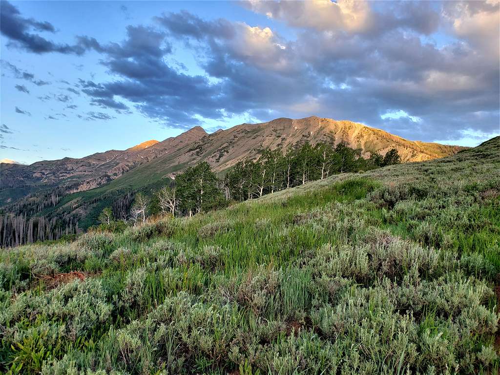
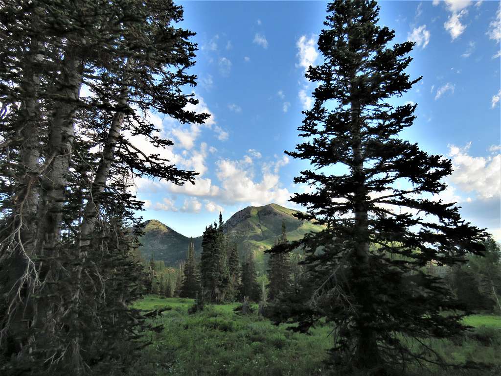
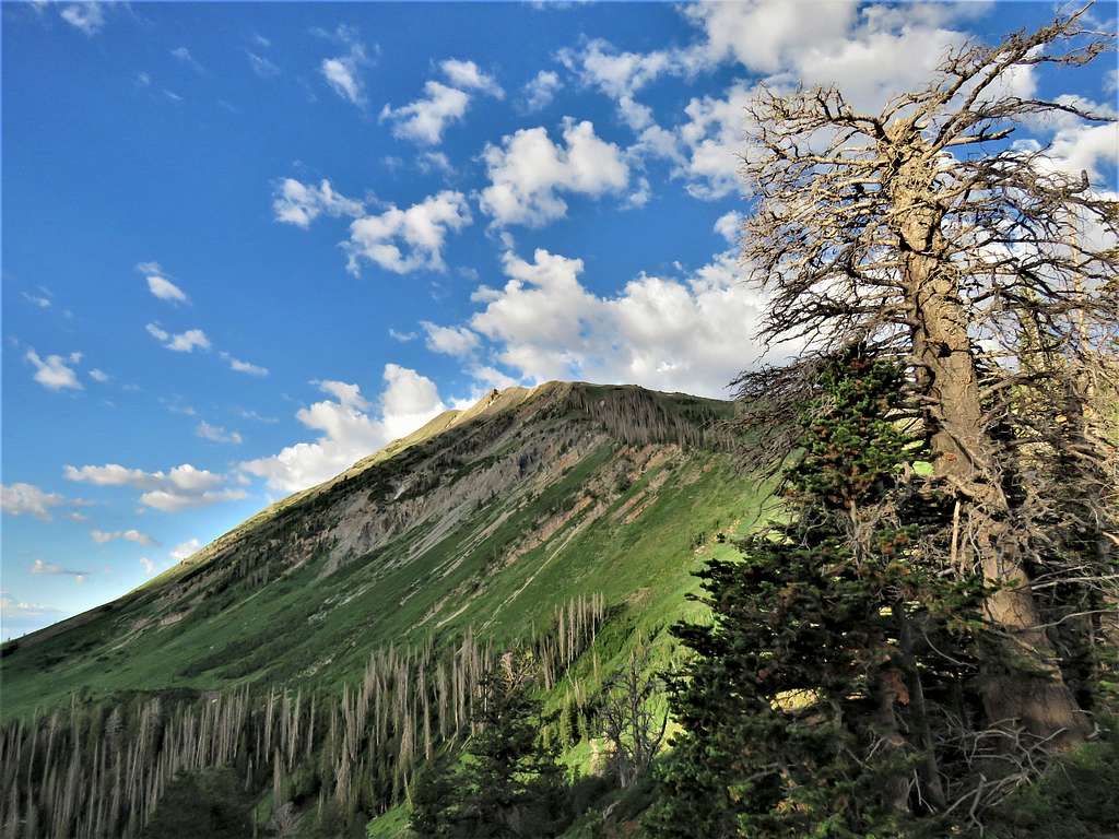
Started my hike at 6:30 AM heading west on a trail that went up a grassy hill. Mt. Nebo and the 11174 ft North Peak were visible to the southwest.
The 10913 ft Bald Mountain and Point 10421 ft.
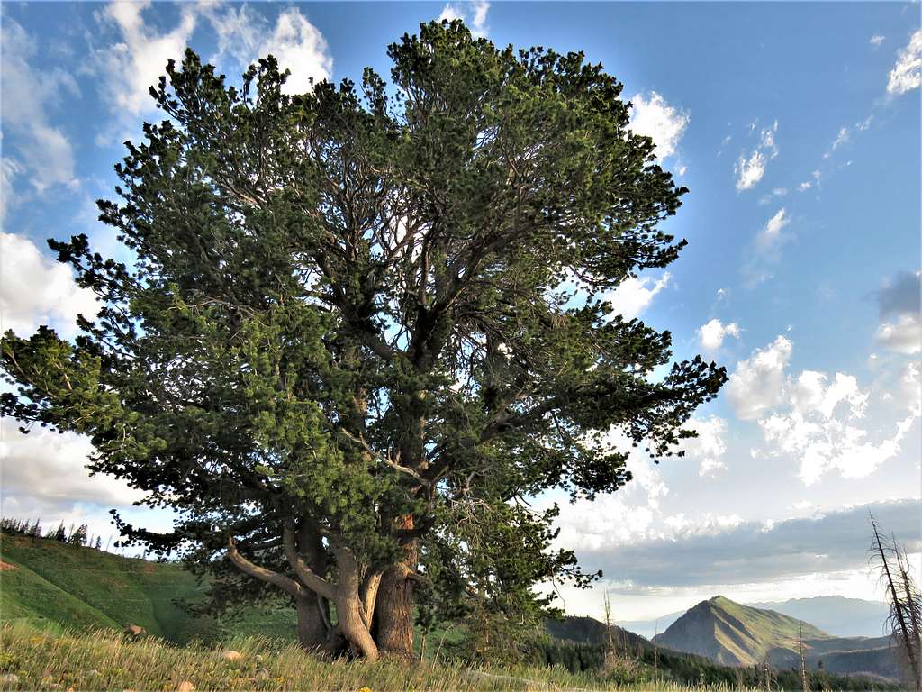
A big tree and the 9865 ft Dry Mountain.
View south to the 9997 ft Salt Benchmark.
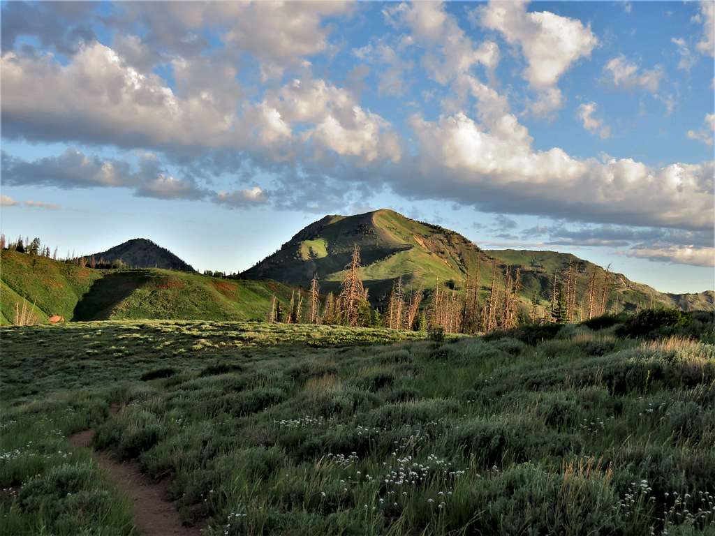
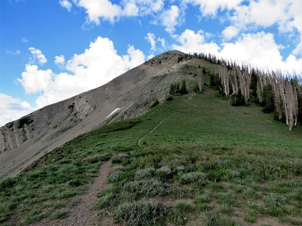
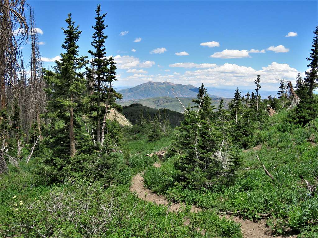
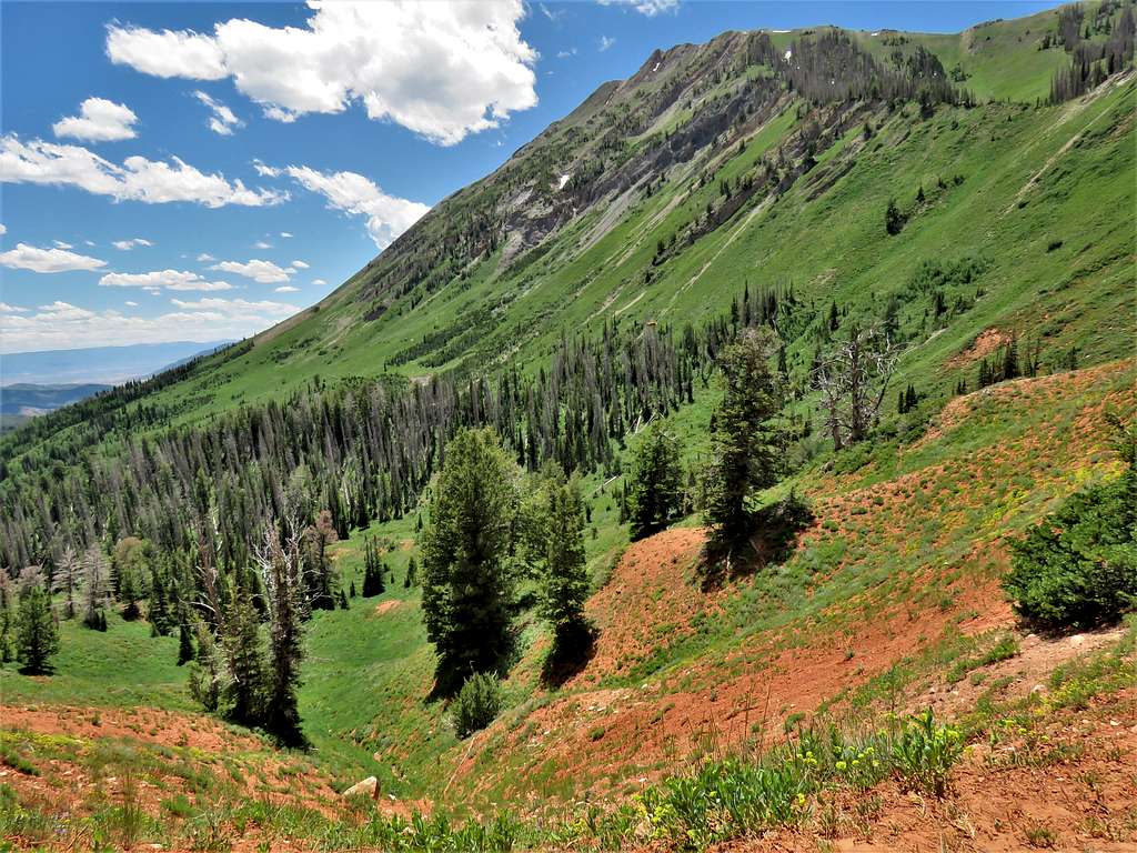
The trail did a number of small ups and downs over the beautiful grassy hills while continuing west getting close to the 11174 ft North Peak.
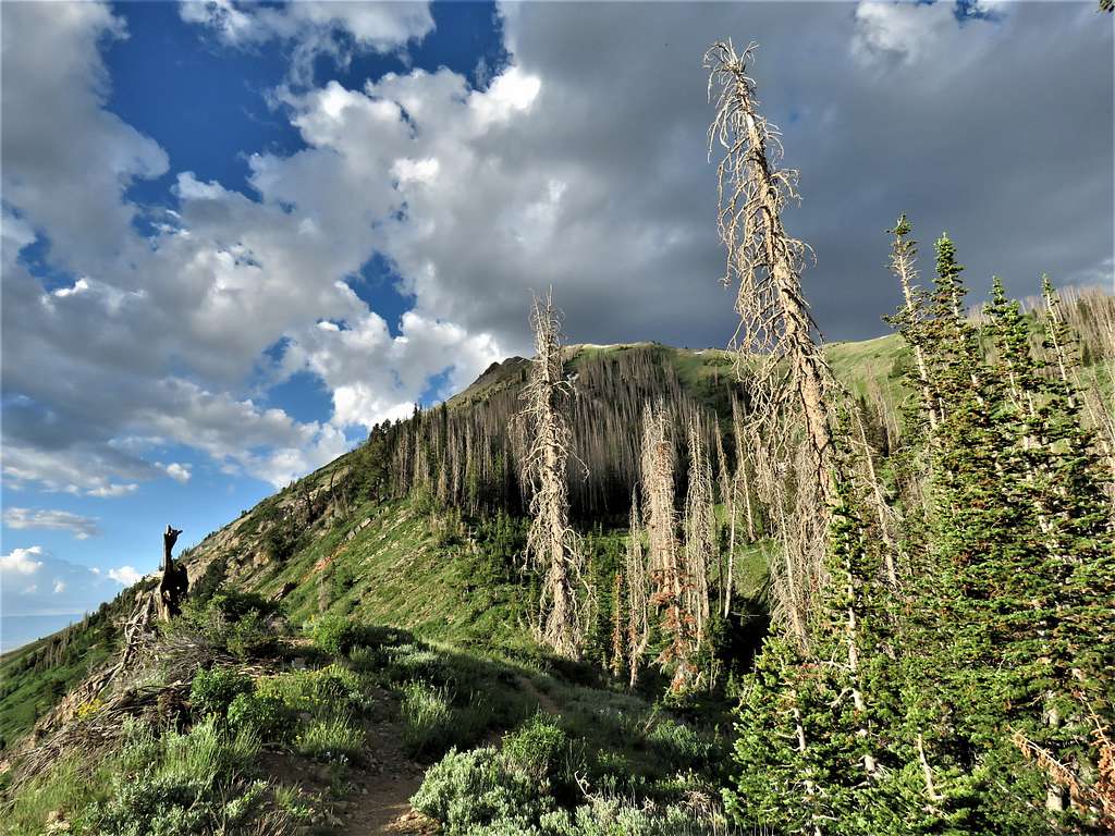
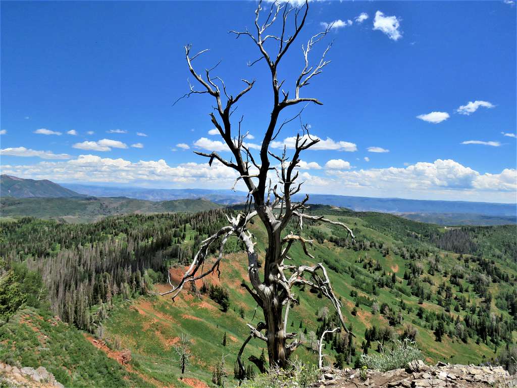
After descending a good 150 vertical feet, the trail went into a forest of partly dead pine trees and began to climb rather steeply. I stopped to put on sunscreen lotion.
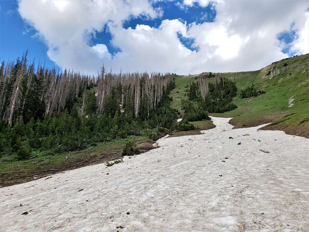
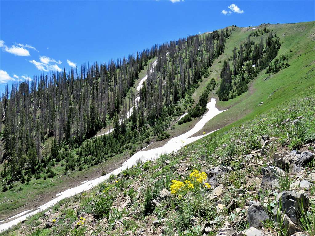
A big snowfield at around 10000 ft elevation. A jogger came from behind passing by me running up the trail.
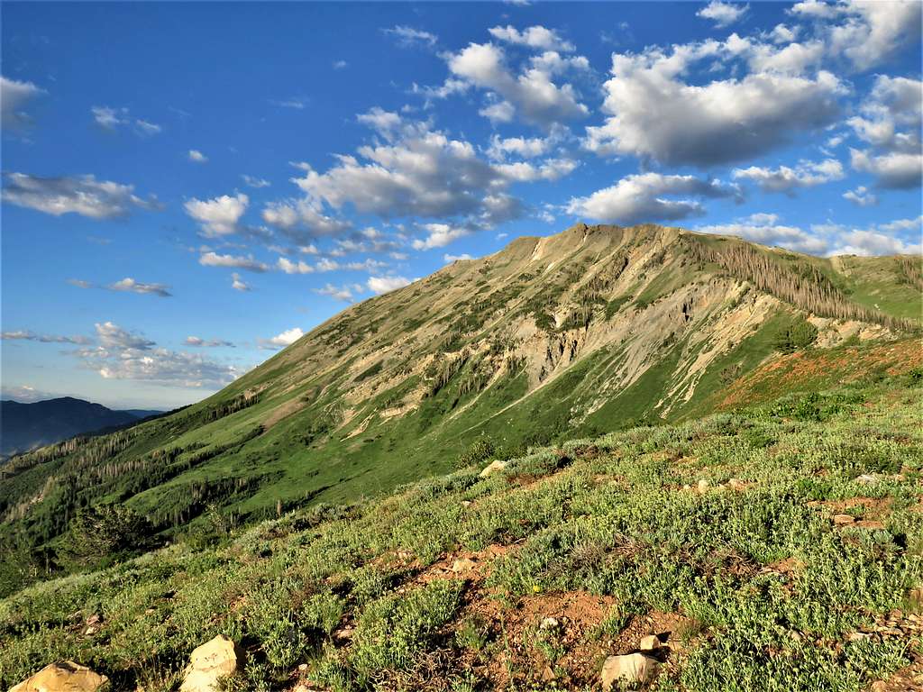
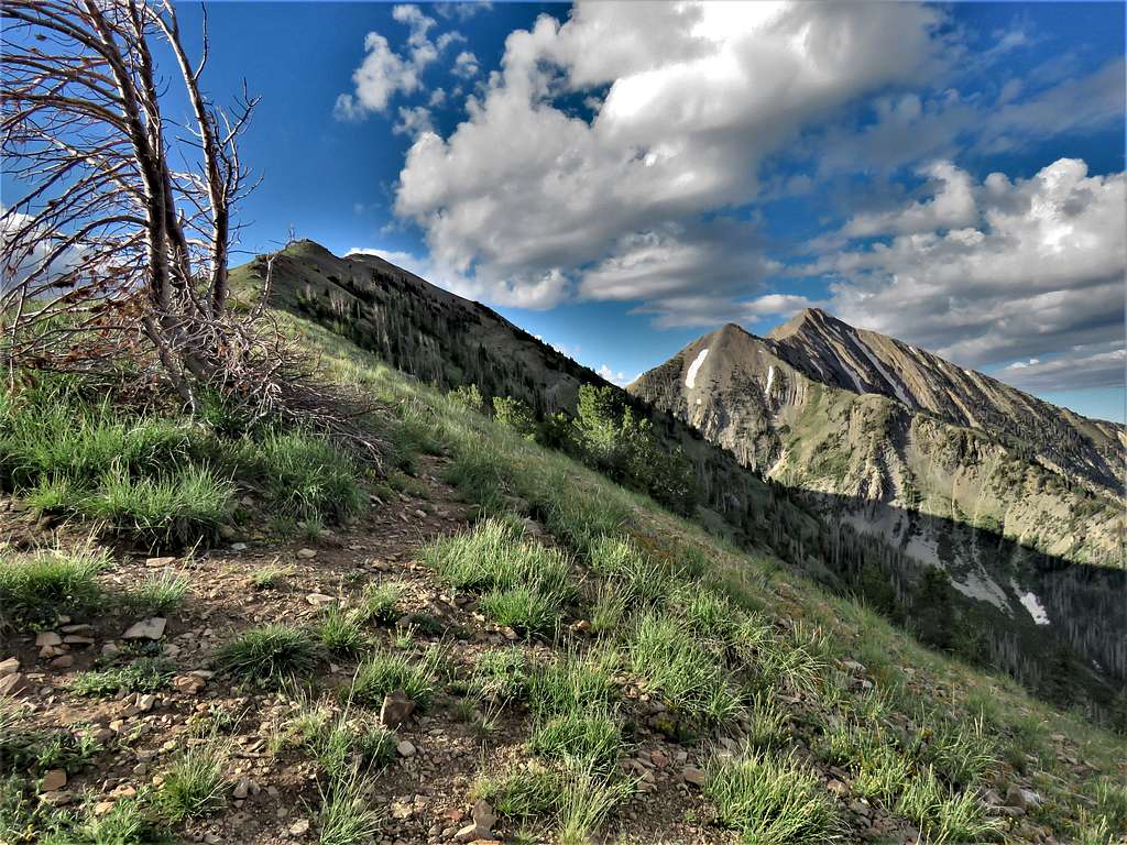
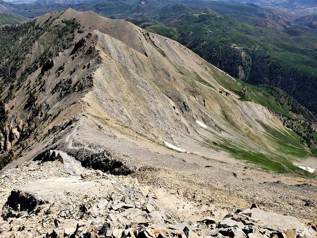
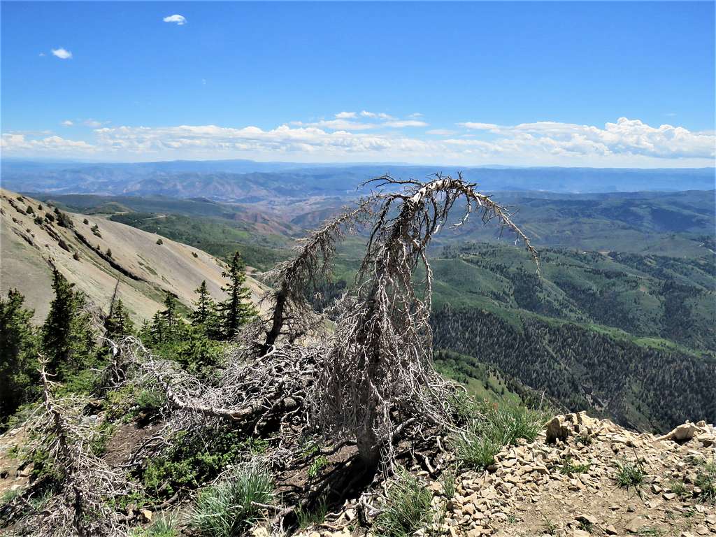
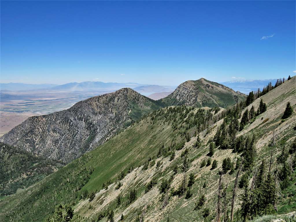
At 10500 ft elevation, the trail reached the crest of the northern ridgeline of North Peak. Got great views of Mt. Nebo 11928 ft, Wolf Pass Peak 11460 ft and North Peak 11174 ft.
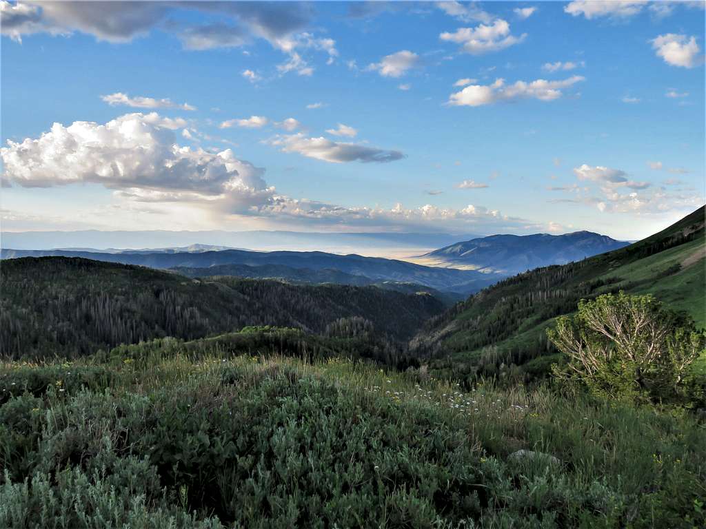
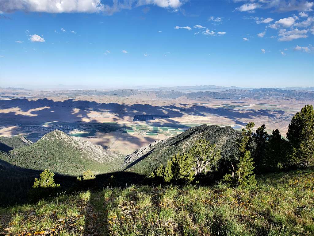
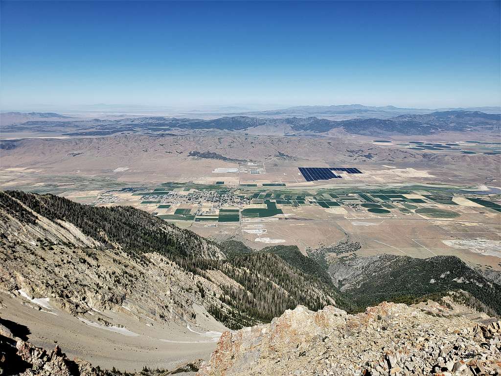
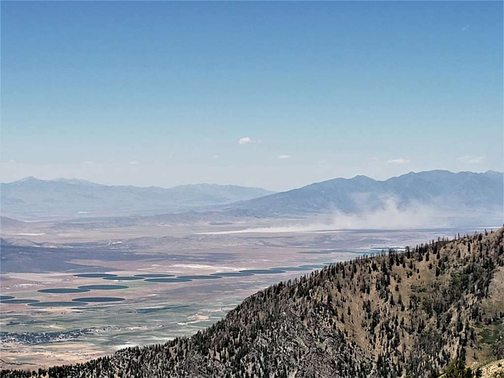
Looking west at the plains 5500 ft below. Clover Creek Solar Farm seen.
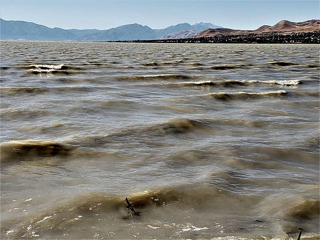
Utah Lake could be seen to the north between Bald Mountain 10919 ft and Peak 10421 ft.
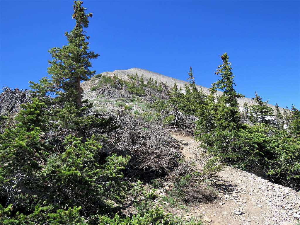
The trail went on the western slopes of North Peak bypassing it but needlessly went all the way up to an elevation of 10850 ft before dropping down to the 10620 ft Wolf Pass where I reached at 8:44 AM and 3.59 miles of hiking. Steep climb to the top of Wolf Pass Peak.
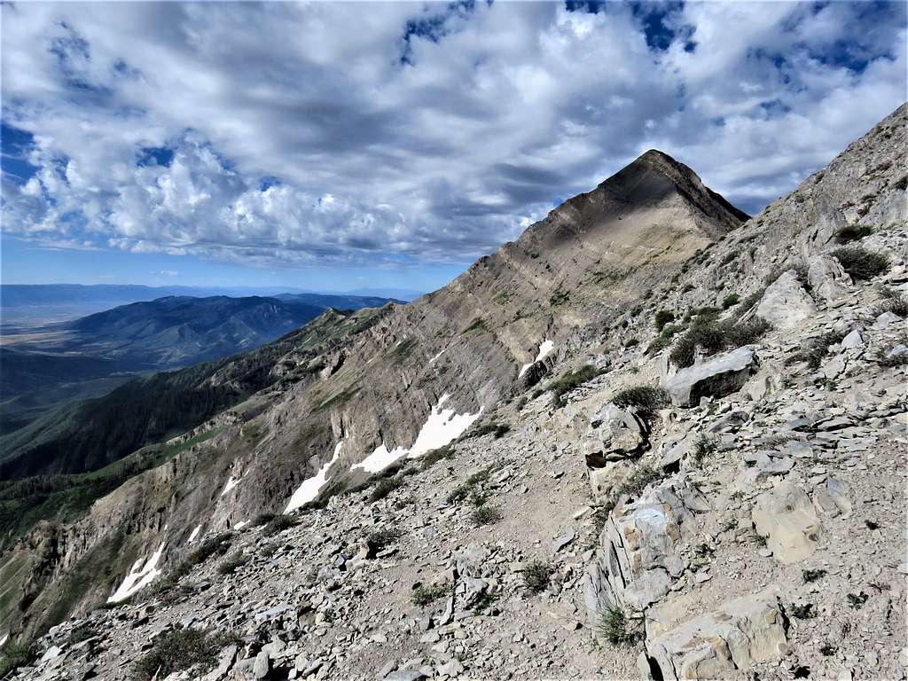
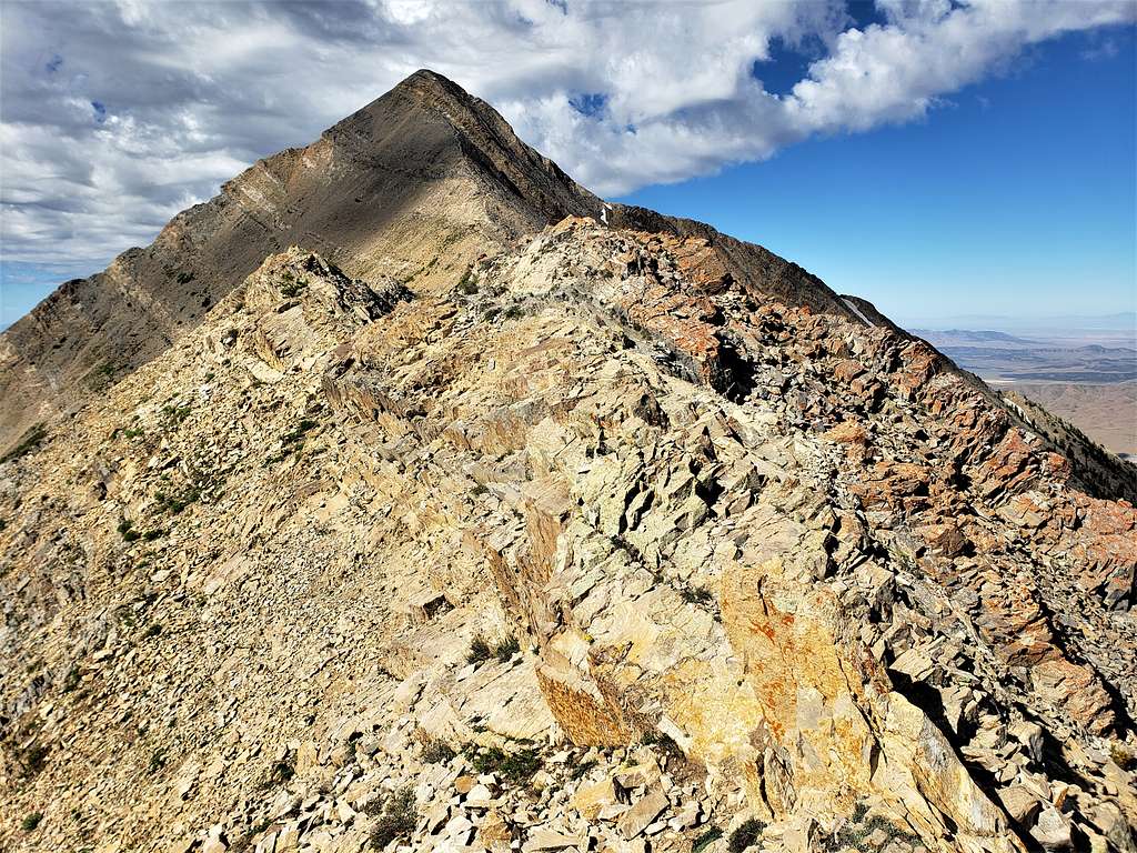
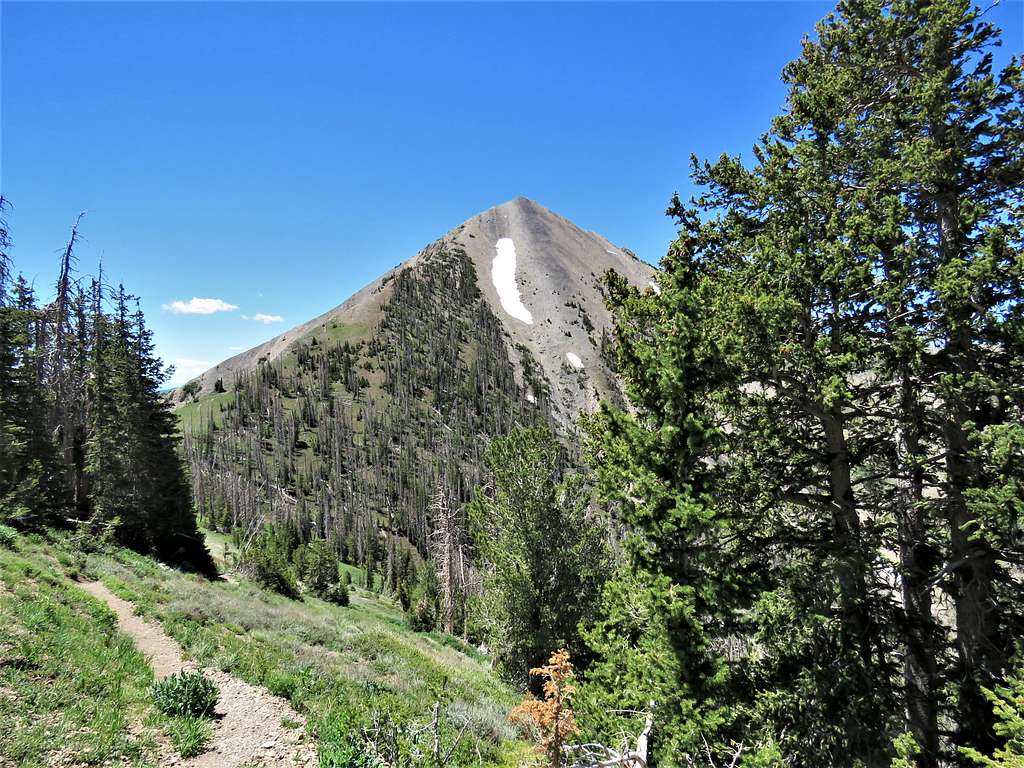
Struggled 800 vertical feet up the steep switchbacks toward the top of Wolf Pass Peak. Just below the top, it appeared that a path went to the east side of the summit of Wolf Pass Bypassing the summit. I went that way, but the slopes ahead did not look pretty. View of Mt. Nebo.
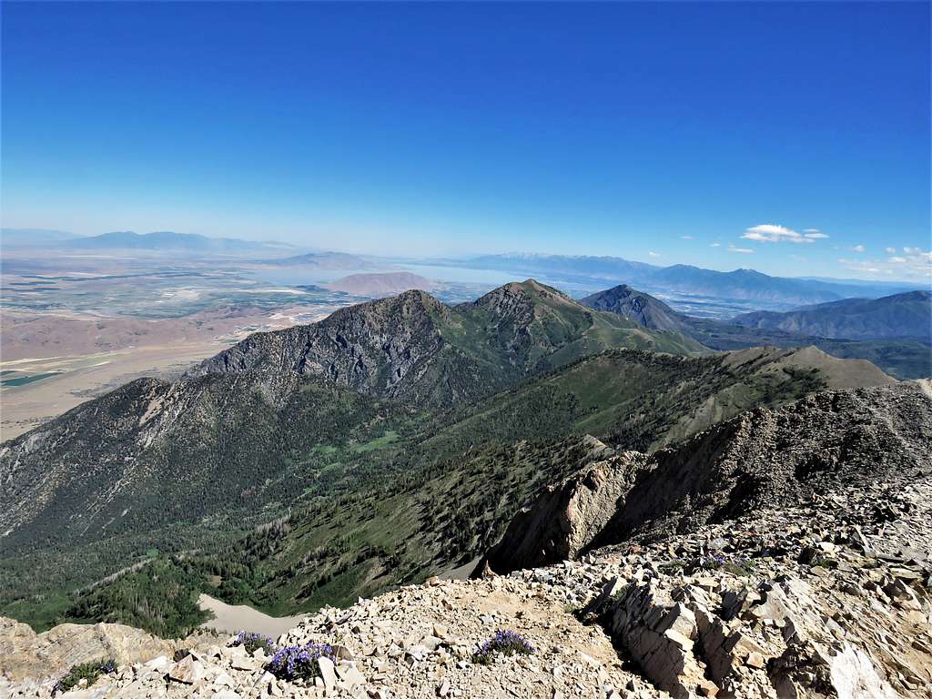
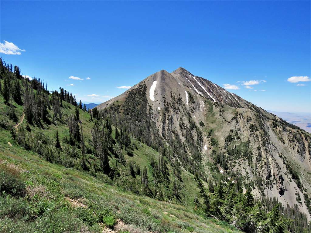
Went back to the ridgetop and reached the summit of Wolf Pass Peak. The rugged ridgeline leading to the base of Mt. Nebo came to view. It required more downhill.
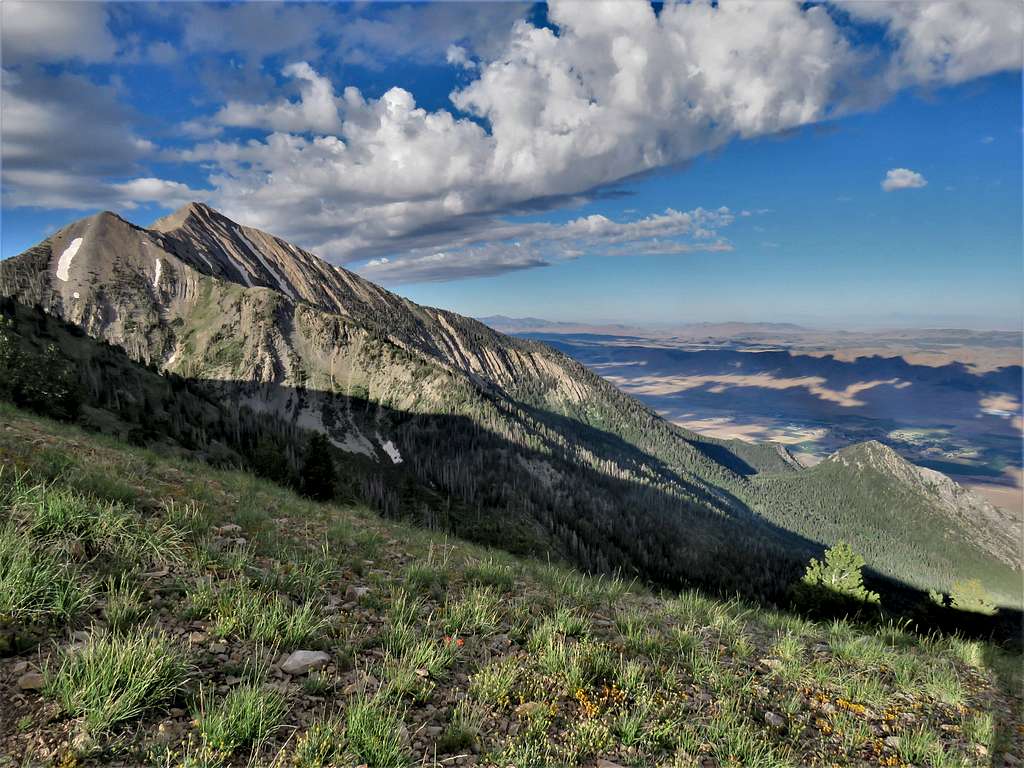
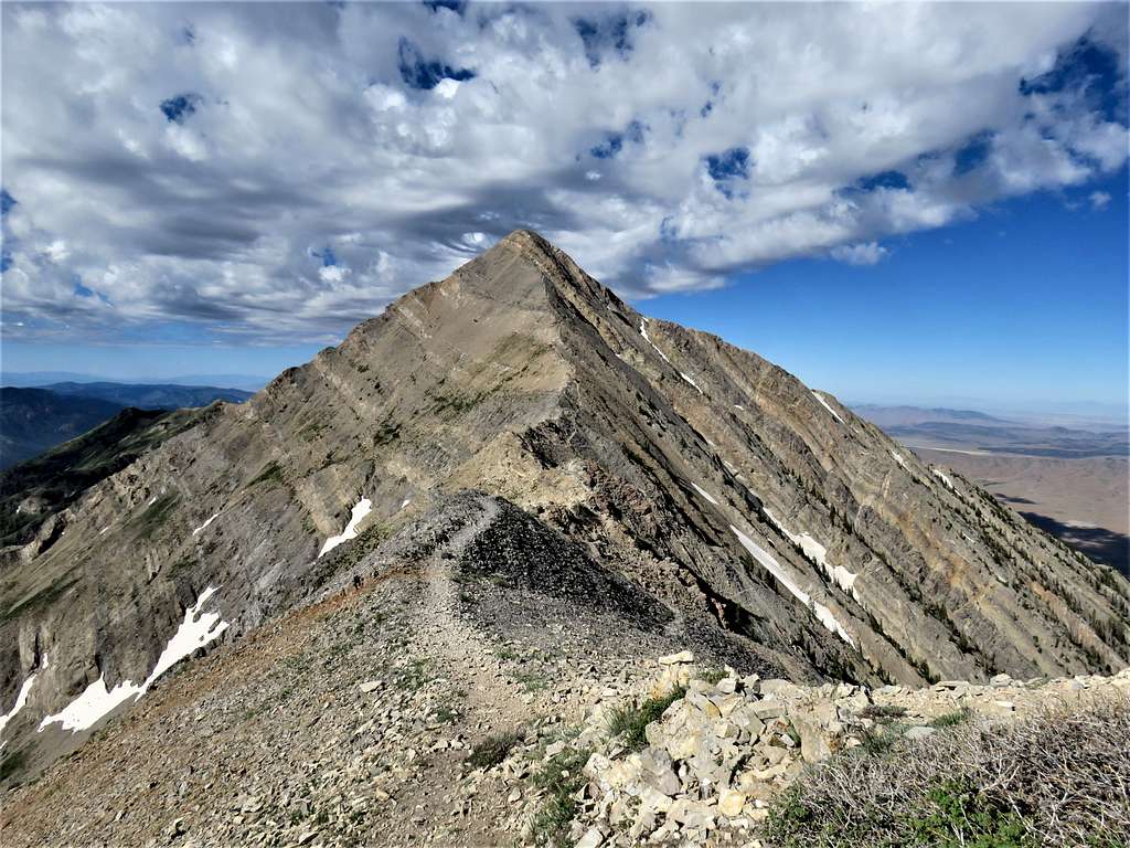
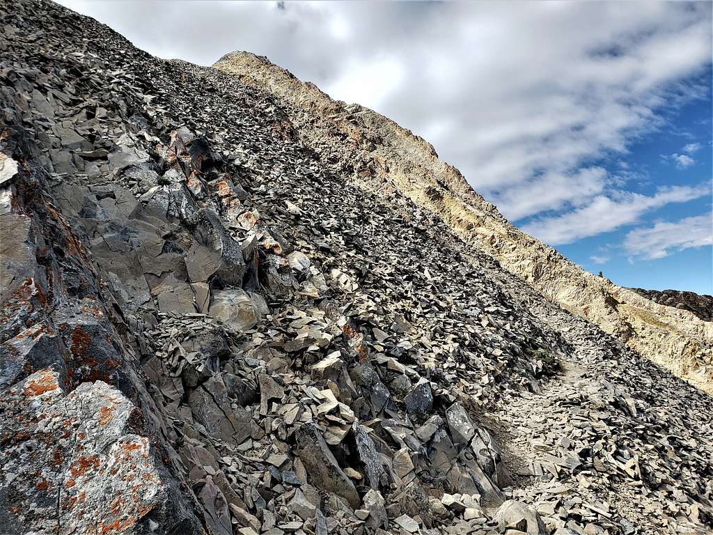
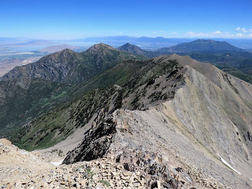
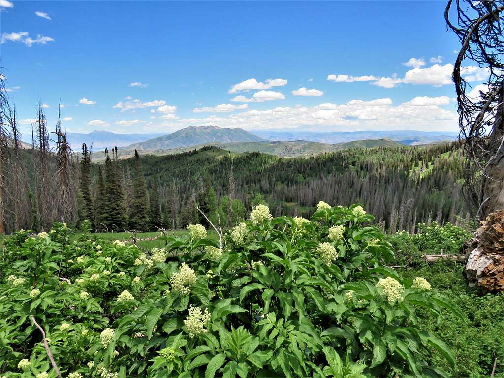
Got on the beaten path that went to the west and below the crest of the ridgeline traversing the talus slopes. The going was ok but was concerned that in that kind of an environment an impassable obstacle might suddenly appear at any moment but fortunately that never happened. Looking back north at Wolf Pass Peak. Bald Mountain, Dry Mountain as well as the distant Provo Peak and Mt. Timpanogos also seen.
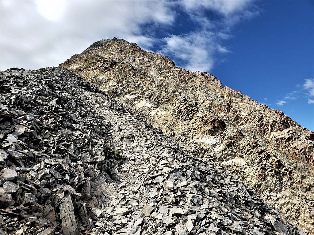
Summit of Nebo.
Final push to the summit.
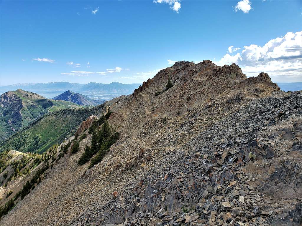
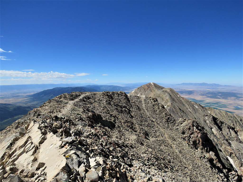
Reached the summit at 10:20 AM after 4.85 miles of hiking. To my surprise, no one was there. A cold wind was blowing, and I had to put on my raincoat. Drinking the cold refrigerated water made me feel even colder. Sat there to eat and enjoy the views. Looking south at the southern summits of Mt. Nebo.
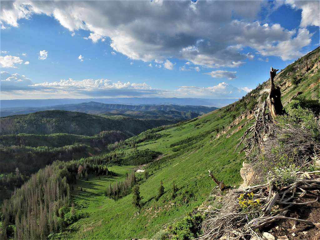
Plains to the west almost 7000 ft lower. I-15 at Exit 233 seen along with Clover Creek Solar farm.
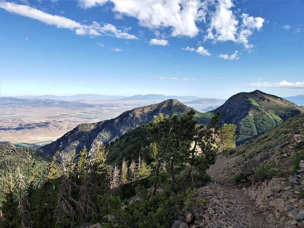
Looking northwest to Utah Lake.
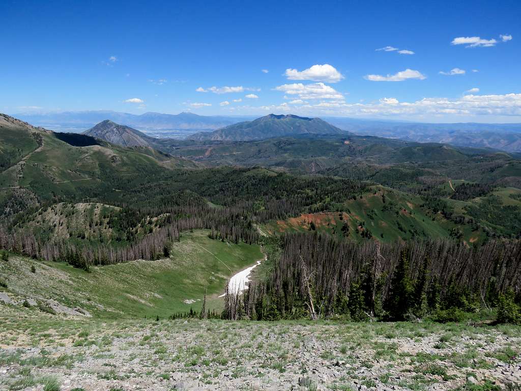
Looking northeast to Loafer Mountain/Santaquin Peak. Nebo Scenic Byway and trailhead seen.
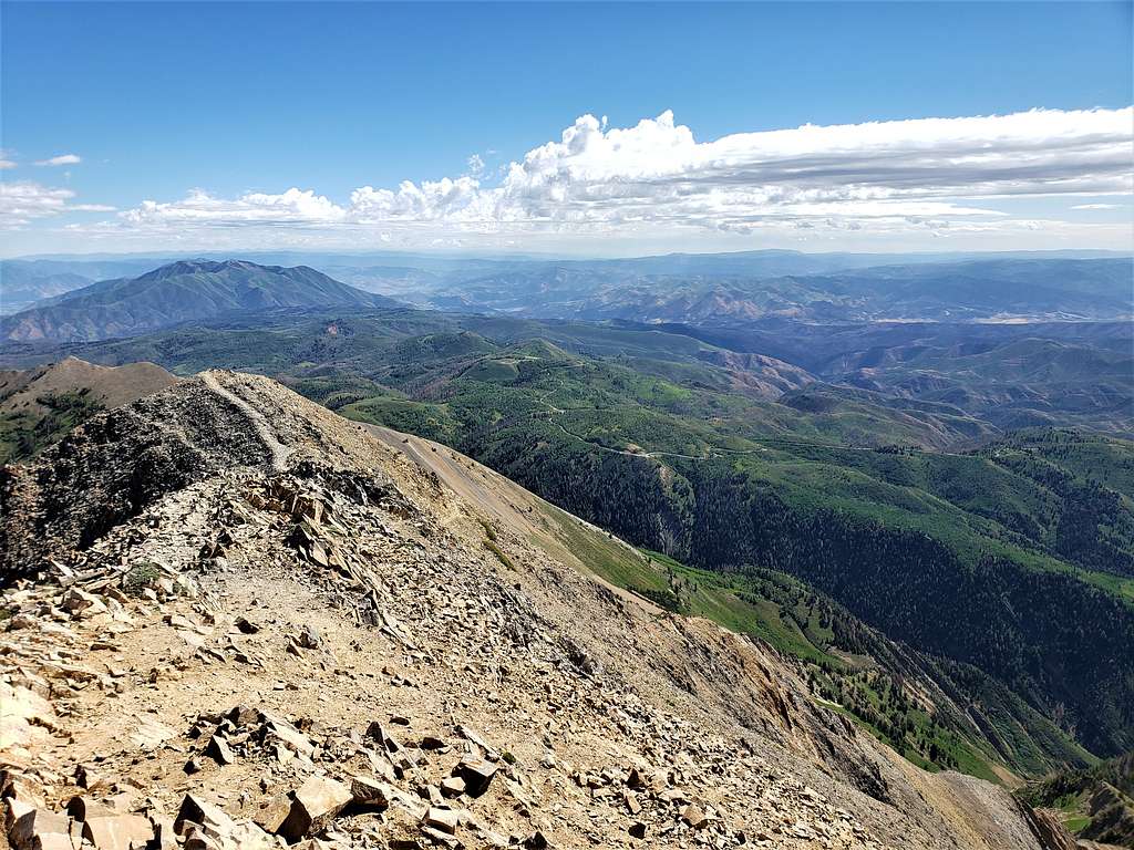
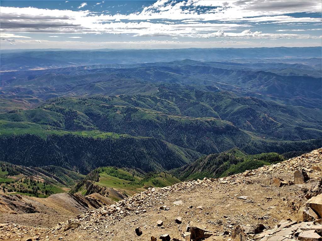
Looking east/southeast.
A couple reached the summit just before I left at 11:00 AM. Going back down, the slopes right below the summit felt very steep.
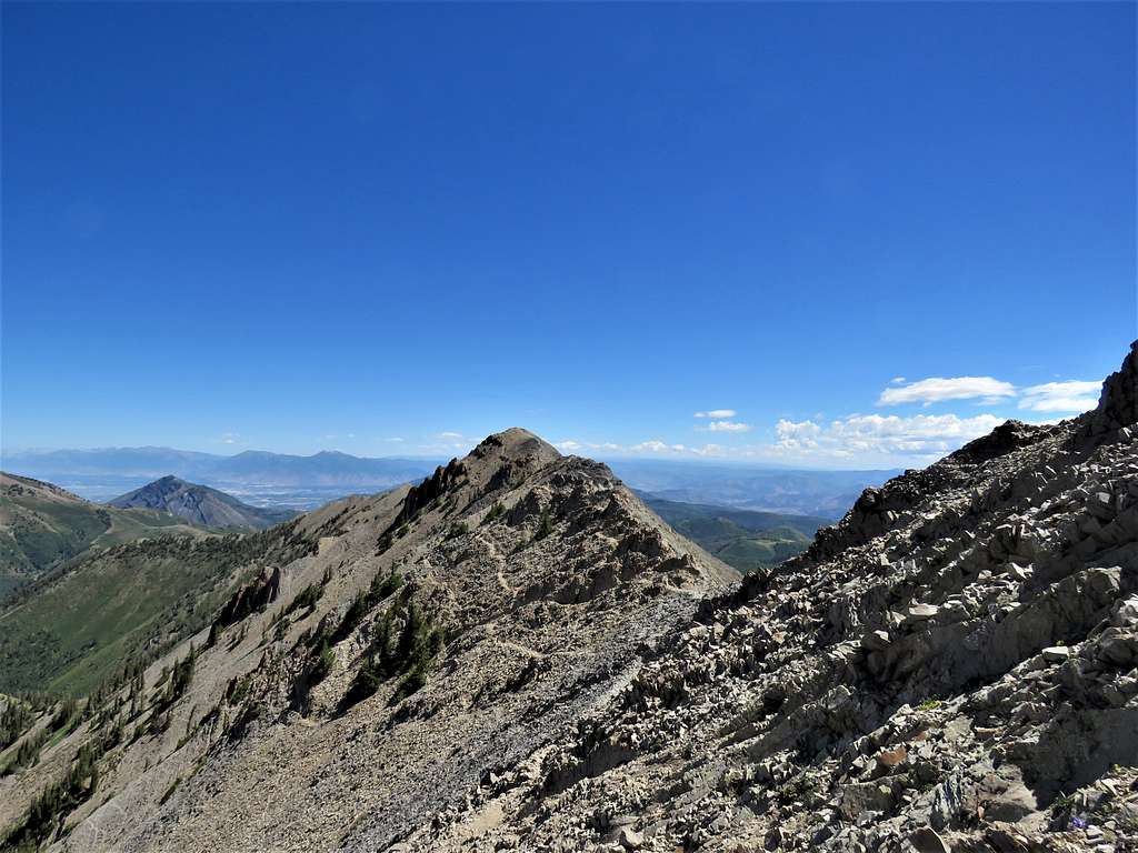
I ran into 2 groups of people going up. View of the summit of Wolf Pass Peak.
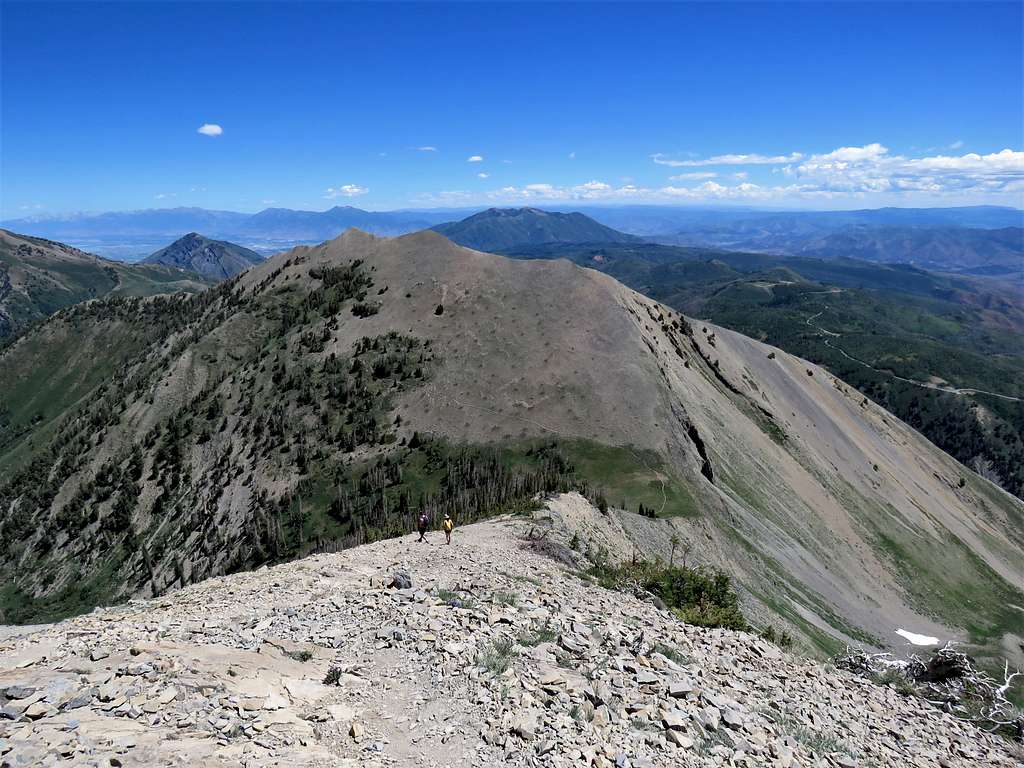
Reached the top of Wolf Pass Peak and then did the big drop back down to Wolf Pass. One couple who had not made it to the summit were descending in front of me.
Went past the couple, took a short rest at Wolf Pass, then was going uphill to bypass North Peak. Looking back at Wolf Pass Peak and Mt. Nebo.
Temperature had risen and the rather strong wind was feeling very pleasant. I could see what looked like a dust storm over the salt flats below.
Utah Lake and Bald Mountain.
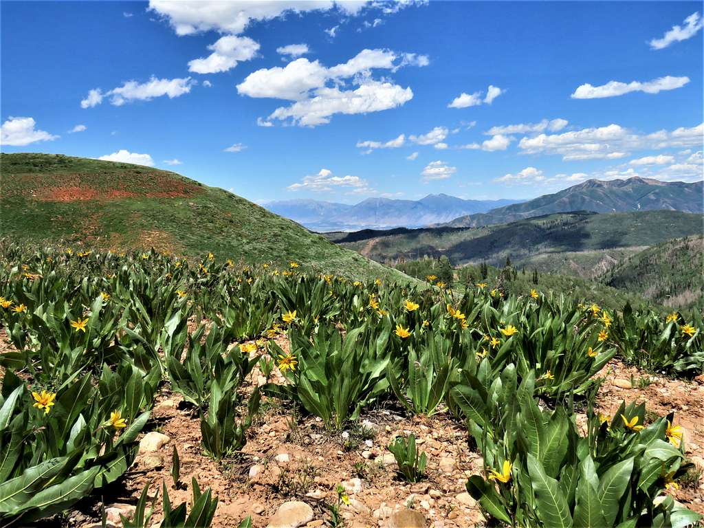
Everything was looking absolutely beautiful. I sat in a place for 10-15 minutes to rest and enjoy the views. The couple I had seen earlier went by and said that I had chosen a great spot to sit. Continuing down the trail, everything looked very pretty.
Reached the car at 2:32 PM. It was 71 degrees F. As I drove down the mountains, watched the temperature slowly rise to 93 degrees F in the city of Payson.