-
 12639 Hits
-
 0% Score
-
 0 Votes
|
|
Trip Report |
|---|---|
|
|
41.87229°S / 146.03307°E |
|
|
Oct 2, 2019 |
|
|
Hiking |
|
|
Spring |
Mount Ossa, Tasmania via Arm River Track
Tuesday October 1, Wednesday Oct 2, 2019
Via the Arm River Track
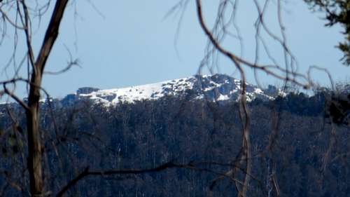
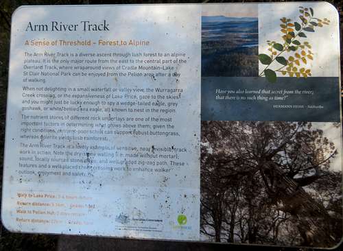
Mount Ossa is commonly done as an add-on to the Overland Track, a 5 hut route north to south in Cradle Mountain - Lake St Clair National Park. We approached via the Arm River Track which shortens the hike to a single overnight, or a more relaxed pace would allow two nights at the hut. The length of your drive to the trailhead should be considered in your decision. As of 2019 the Arm River Track avoids the permit required on the Overland Track. Signs specifically indicate the segment of Overland allowed without permit is between where the Arm River track and the Mount Ossa Track intersect.
We arrived in Hobart the previous day after a long series of flights from Denver Colorado. We stayed at the Travelodge downtown Hobart, (Macquarie & Harrington) which is within walking distance of needed supplies. Look along Liverpool & Elizabeth for stores and money changing. Woolworths on Liverpool is a grocery store and also anchors one end of a mall which runs from Argyle to almost Harrington between Liverpool & Collins. Next to Woolworths is a liquor store. Parts of Elizabeth are pedestrian mall and if you continue across Liverpool to where it is a regular street you’ll find outdoor retailers and a map store - Tasmanian Map Centre.
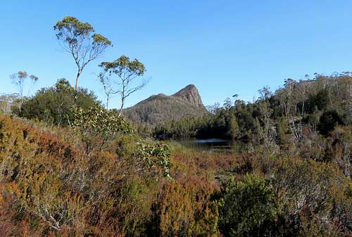
We chose to pay to be driven to the Maggs Road trailhead. I didn’t feel confident driving a rental car on a dirt road in spring without being certain of the conditions. The road turned out to be fairly solid and not too rough, however I won’t attempt to give exact directions. The road pattern and condition is in flux because of landslides in recent years and lumber company operations. I advise researching for local updates if you plan to self drive. To find it on a map, look for Mole Creek which is west of Deloraine. Farther west from Mole Creek, road C138, then C171 head south past Lake Parangana along the Mersey River. Lake Rowallan is beyond where you would turn onto the road pattern that includes Maggs Road.
We arranged with Tasmanian Wilderness Experiences twe.travel for our transportation to the trailhead. We were very fortunate to have Clint Garratt as our driver. For the trek we were officially independent hikers based on our experience level. Clint, for his part wasn’t going to turn around and drive back to Hobart, and then return drive the next day. So he hiked with us. Officially he was not our guide, I was prepared to navigate the trek, but since he did accompany us, he was a wilderness interpreter. Clint has a vast knowledge of the geology, wildlife and history of Tasmania.
Trailhead coordinates 55 G 0429849 5373132 676 UTM GDA 94 or WGS84 - from my handheld GPS.
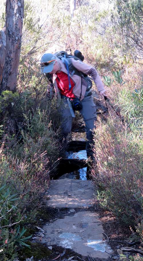
The trailhead doesn’t really have a parking area, but a half dozen or so vehicles were squeezed in where they were able. The road is wide enough some vehicles can tuck up along the sides. Immediately after leaving the trailhead there is a stream crossing. Not to worry. None of the stream crossings were wet foot. Minor streams always had enough friendly rocks. Some streams had heavy placed logs which usually included chicken wire for traction. There are also a few constructed bridges, that tended to be narrow, but with hand cables for balance.
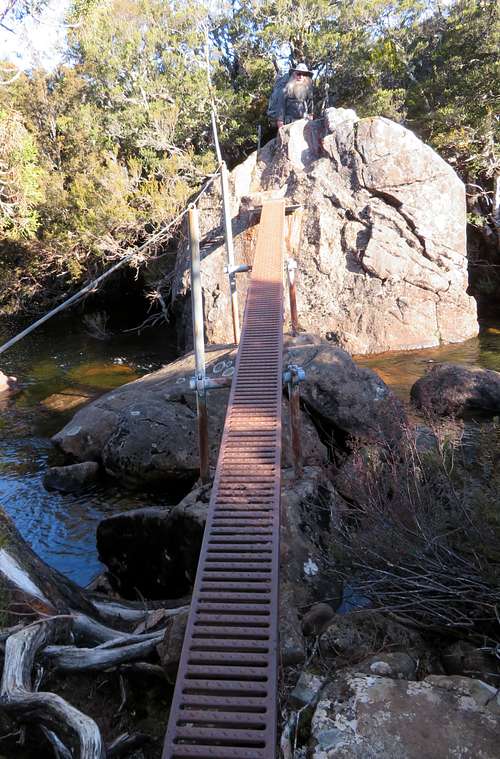
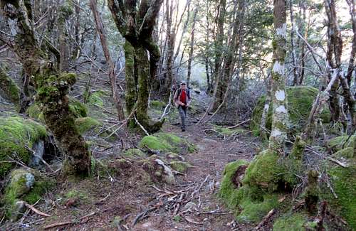
Compared to Colorado the hiking track features a lot of roots and mud. This hampers the pace, but then there are stretches of constructed elevated walkway which speed up pace. The walkways come in a variety of materials, from metal to wood to synthetic.
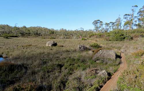
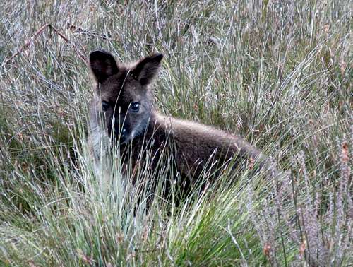
The hike to the hut is about 12 km and took us about 4.5 hours. That is not fast pace. Your time might be better. The hut elevation is around 850m. We found the hut to be full on arrival. Oct 1 was when the National Park went into summer mode for issuing permits for starting each day. We encountered the swell of hikers passing through just ahead of that cut-off. It’s not just that the permits come with a fee, there are a finite number each day and get snapped up well in advance.
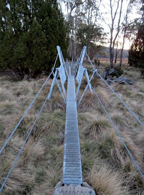
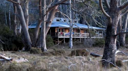
We were okay though. It actually worked out to our advantage. We wanted to get an early start so this avoided getting up in one of the bunk rooms while everyone else was trying to sleep. The outer area of the hut was large enough we rolled out our bags in a corner, then had the room to ourselves in the morning as we prepared for departure.
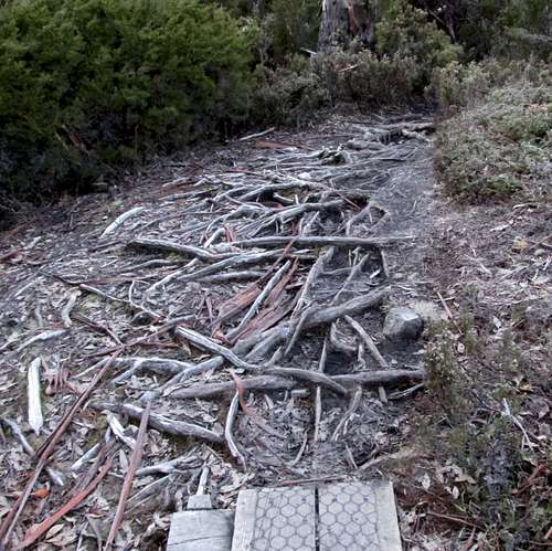
It was chilly for the frosty early morning start. The track between New Pelion Hut and Pelion Gap had some wet and muddy places, plenty of roots, and several stretches of constructed walkway. The net elevation gain is around 275m. The track was always easy to follow.
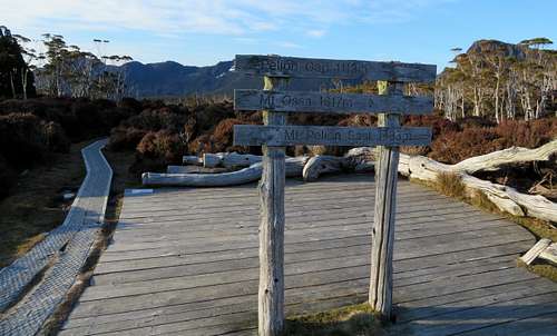
At Pelion Gap there is a large deck area so those stopping to rest don’t have to wear a bare spot in the vegetation. The route to Ossa is well signed and starts as an obvious walkway.
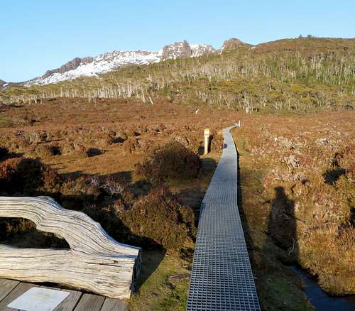
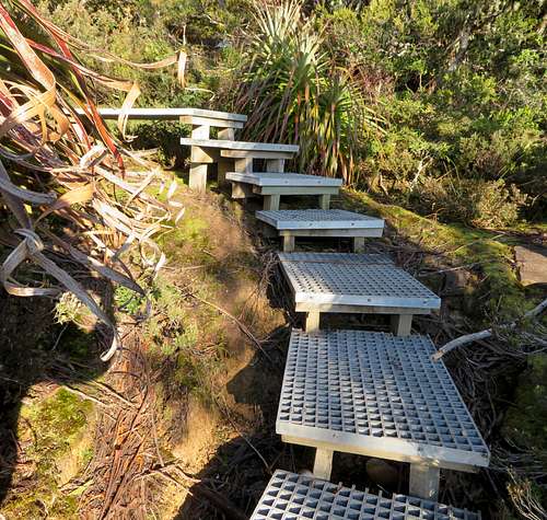
Much of the lower slope of this route is walkway with steps as needed.
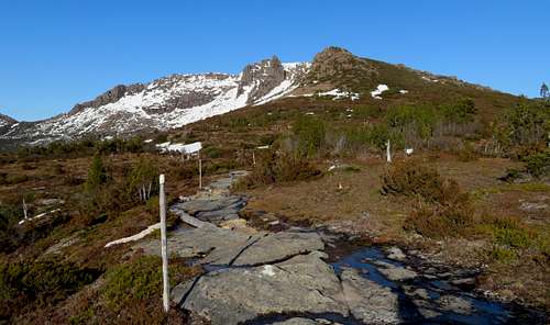
Route finding was a non-issue until higher up where met the recent snow.
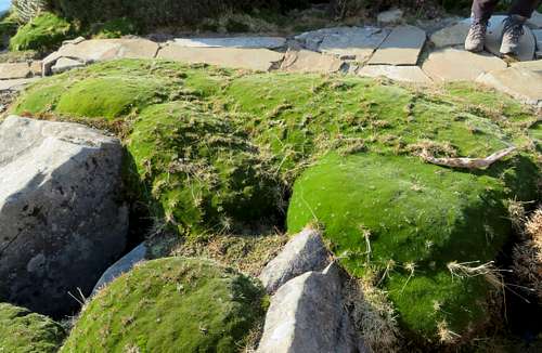
Avoid stepping on the flora in this above treeline world. It is easily damaged and takes longer to recover.
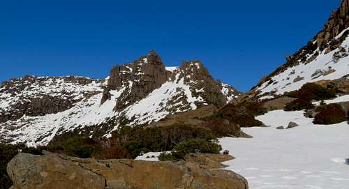
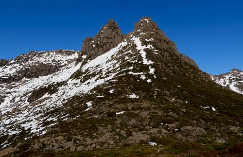
After passing Mount Doris on our right we left the walkway behind. This was also where the track became more persistently snow covered.
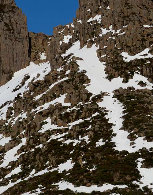
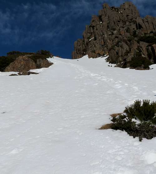
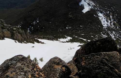
Now on the slopes of Ossa proper we started our first real climbing. We were able to make some choices between snow or rock climbing. We went with a combination of both. After a pretty good push up some steep but not sketchy snow and rock we arrived at a balcony.
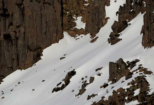
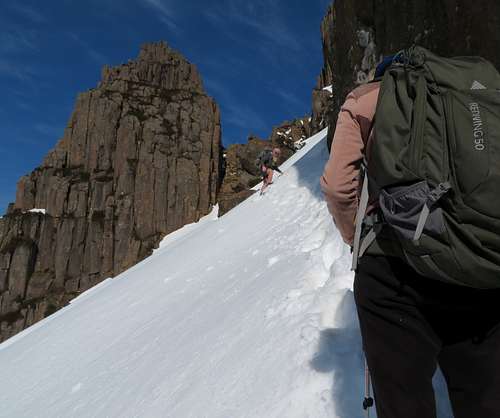
There is where the summer track would traverse over to the rocky scramble featured in a lot of pictures. This area was completely blown in with snow from the storm a few days ago. No one had been across since. What would be a well established track in the summer was now a steep side slope high above a rocky run out. It was not user friendly snow for boot packing. There was a loose top with a hard under layer. Not dependable for self arresting. We didn’t have ice axes anyway.
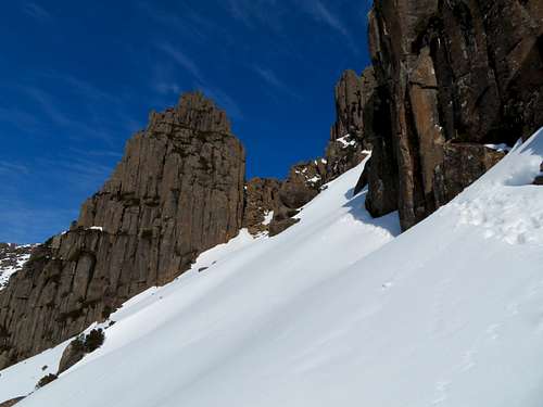
In my younger days I would have bolder about pushing across. Even in my older years I would have been more confident if there had already been an established boot track and we each had enough tools with points. I hate turning back so close to a summit after doing so much to get there. I was able to exclaim “this was the farthest we’ve traveled to not get a summit!” Even when I was younger I would often tell myself - don’t forget what you already know. What I knew in this case was if we were determined enough we could have forced our way across that slope. I also knew a slip could result in serious injury or worse. We likely could have done it. Likely wasn’t good enough.
Our high point 55 G 0420291 5364261 1426
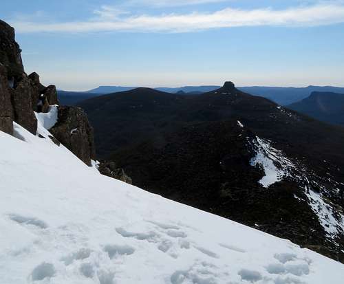
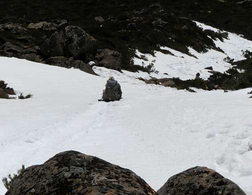
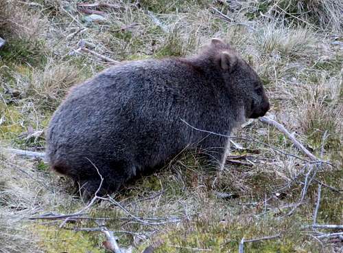
The hike down was uneventful. We took a break at the hut before hiking out Arm River Track. Note, if you drive out that trailhead road just after dark, dozens of animals will bolt across in front of you. You might want to plan around that.
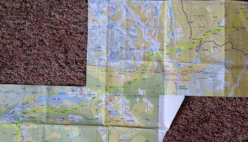
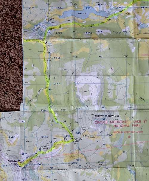
Maps. I able to buy and download digital versions of topo maps for Mount Ossa from the Tasmanian government website. I then screen captured and sent portions to an 11x17” printer. The maps have a 1 km grid which I labeled in pen for easy reference while hiking. The route is highlighted in yellow. The Australian Grid seems to be interchangeable with UTM WGS84 at hiking map scale.
https://www.tasmap.tas.gov.au/do/category/50000DIG
