Getting there
On the night of July 13-14, my brother and I headed our from Athens on an epic Balkans road trip with the goal of attending a music festival in Montenegro and climbing some mountains on the way. First stop was Mt Olympus.
We left the city around 1am, hoping to get to the trailhead by 6am. Little did we know that Google Maps doesn’t really know about regional constructions in Greece, so we ended up at the trailhead in Prionia at 7am. Getting to Prionia was more straightforward than what I expected it to be. We took the Litochoro exit from the E1 highway (at the 422nd km), then drove for 5km into the village, from which we followed green signs pointing towards “Olympus/Όλυμπος” and Prionia. Another 11km of twisted (yet empty at this time of day) roads later, we were at the trailhead.
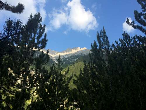
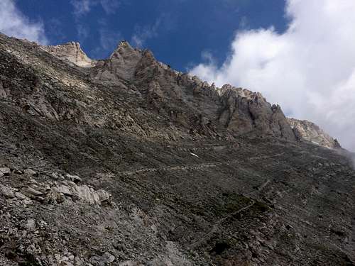
![View of Mt Olympus from the highway]() View of Mt Olympus from the highway
View of Mt Olympus from the highway
At the trailhead (~1500m altitude) we found more than 20 cars and a cafe about to open up. We got a little confused with where the actual trail up starts from (apparently the actual E4 trail starts lower down the river bed, so at the “trailhead” parking lot you will find the entrance down and the entrance up; the one up is at the top side of the parking lot). We left the parking lot at 7:30.
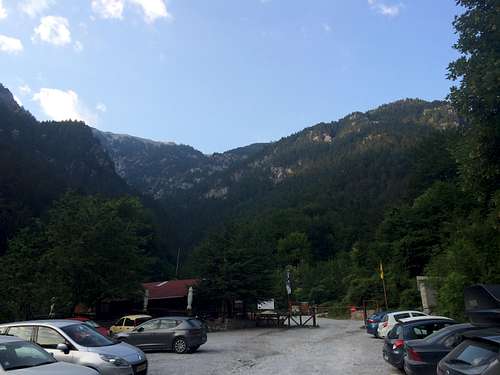
![Prionia parking lot]() Prionia parking lot and trailhead up ahead
Prionia parking lot and trailhead up aheadCar to Refuge A
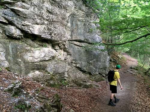
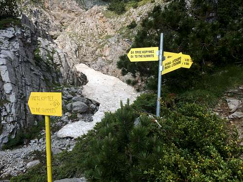
It took us about 2 hours on a very well maintained trail to get to Refuge A. There was a lot of donkey dung on the way, but nothing to be worried about, except for maybe the flies in some spots...Midway there is a canopy with a water fountain with delicious water coming straight from the mountain. We didn't bother filtering and were ok. Having never hiked in Greece before, I was surprised by the high level of maintenance and signage on the trail. In comparison to the Pacific Northwest (where trails are of course maintained but not necessarily signed with big yellow boards), this "European model" seemed very different.
The E4 trail, well maintained and covered from the sun at first
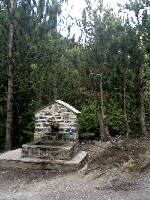
![Spring water half-way to Refuge A]() Spring water half-way to Refuge A
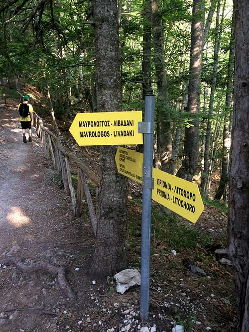
Spring water half-way to Refuge A![Signs on the E4 trail]()
Signs on the E4 trail
At the Refuge we rested for 10 minutes before continuing back up. It was already pretty hot by 9:30am, so we were in a hurry to get up as soon as possible. The refuge serves food and drinks and I think you can stay there overnight as well, which many hikers seemed to be doing. A sign also said that there was a charge of 1,60 euro if you just wanted to use their facilities (e.g. toilet, porch).
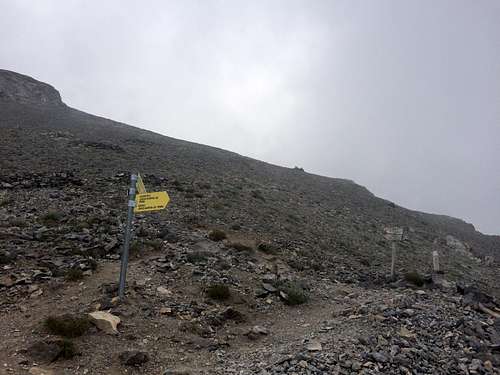
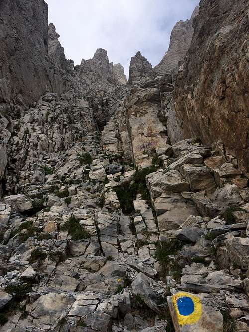
![Junction under the summits]() Junction under the summits
Junction under the summits![Traverse under Mytikas]() Traverse under Mytikas
Traverse under Mytikas
About 40 minutes of traversing beautiful layered rocks later, we reached a section right at the bottom of the gully of Mytikas. It was obvious that that's where we had to leave the trail and go scrambling up, as there were yellow and blue circles marking the path. The scramble took probably another 45 minutes, and made both my brother and I rethink whether we should have brought a helmet. As we were initially planning to do the Skolio-Skala-Mytikas traverse, there didn't seem to be any danger of rockfall (just exposure), but in the rather crowded narrow gully leading straight up to Mytikas, we definitely saw some people accidentally kicking off rocks down below. A seemingly experienced Greek group we saw descending was wearing helmets.
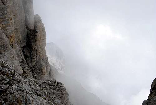
![View up the Mytikas gully]() View up the Mytikas gully
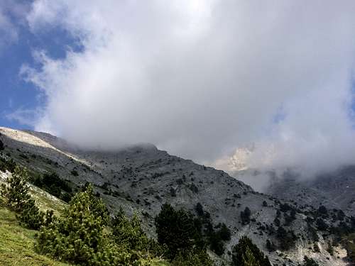
View up the Mytikas gully![Clouds in the gully]() Clouds in the gully
Clouds in the gully
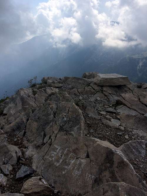
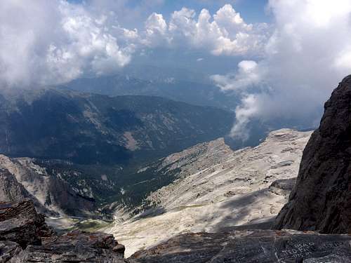
And just like that, we reached the summit of the mountain of the gods! The summit was very busy but the views were sporadic, as they were mostly obstructed by flowing clouds. I can see why the ancient Greeks never went up this mountain--the clouds alone make it seem like a highly mystical place. It was a very hot day down at sea level, but at the summit, the temperature was crisp and pleasant (maybe 12 degrees Celcius). We took some photos and rushed back down the gully to avoid any congestion.
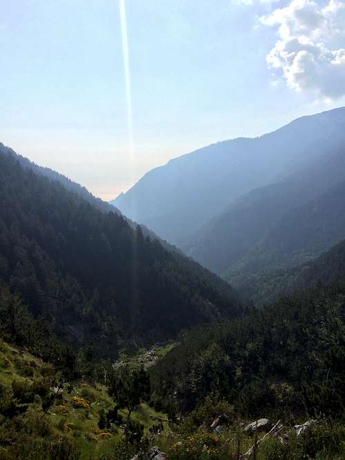
![Valley as seen from summits]() North view from the summit
North view from the summitThe way back
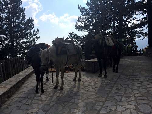
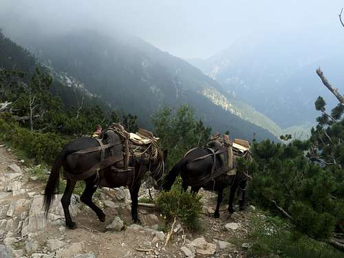
Surprisingly, it took us approximately the same time to get down as it took us to get up. Going down the gully carefully took some considerate effort, especially with all the loose rock and people beneath us. We left the summit at 1pm, got back to Refuge A at 3:10pm and back to the car at 5:10pm. And saw some mules on their (solo) way down from the refuge on the way!
![Mules on the way back]() Mules on the way back
Mules on the way back
Summary times:
Car--Refuge A: 2hrs
Refuge A--Summit: 2h 30m
Summit--Refuge A: 2hrs 10m
Refuge A--Car: 2hrs
Gear:
Water (2L, you can replenish on the way), hat, bug repellent (optional, it wasn't that bad), long sleeved shirt, sunglasses, trekking poles (optional)
Comments
No comments posted yet.