Toggle navigation
Mountains
Routes
Images
Trip Reports
Forum
What's New
People
Areas & Ranges
Articles
Trailheads
Canyons
Huts & Campgrounds
Albums
Logistical Centers
Fact Sheets
Lists
Custom Objects
Gear
Plans & Partners
WELCOME TO SUMMITPOST
SIGN IN
REGISTER
Ship Rock
Additional Parents
Image
The eroded volcanic dike and...
View High-Resolution Image
The eroded volcanic dike and...
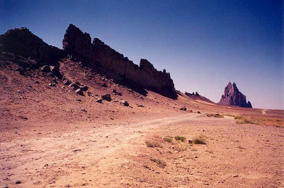
The eroded volcanic dike and the south side of Ship Rock from BIA-13. BIA-5010 is the dirt road extending away from the camera. The segments of dike at left are about 30 feet high. July 2003.
« PREV
NEXT »
Klenke
on
Nov 24, 2003 10:58 pm
Comments & voting
Other parents
Lat/Lon:
36.68700°N / 108.836°W
Image ID:
33975
6023 Hits
80.83
% Score
13
Votes
Log in to vote
Comments
No comments posted yet.
to post!
Don't have an account?
Ship Rock
(Mountain/Rock)
« PREV
Viewing
#17 of 64
GALLERY
NEXT »
Klenke's Image Gallery
« PREV
Viewing
#86 of 5376
GALLERY
NEXT »
×
You need to login in order to vote!
User Name
Password
Remember me
Forgot your password?
Log me out when I close my browser.
Keep me logged in all the time.
sign in as a user
Don't have an account?
Register now for FREE
Rating available
Suggested routes for you
People who climb the same things as you
Comments Available
Create Albums
Register Here


