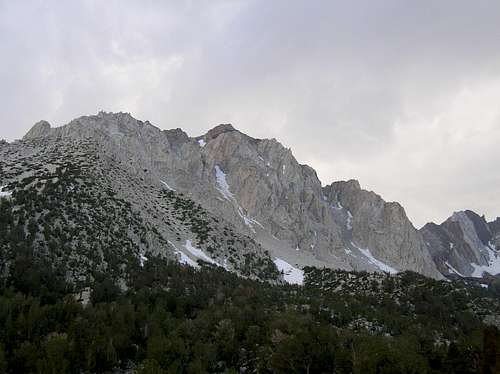
Mount Locke
Secor says this peak is informally named after the late Bob Locke. Bob Locke was a skier, climber, killed climbing Mt Watkins in the late 70's. The peak is located about 1.5miles SE of Mt. Humphries and about 1.25 miles NE of Mt Emerson with incredible views of Mt.Emerson and Piute Crags. Most ski mountaineers drool over the thought of skiing the Wahoo Gullies on the NE face when conditions are right. The center gullie is a 3000' couloir to the base.
Getting There
[img:457342:alignright:small:]Take California 168 from Highway 395 in Bishop,go west 8+/- miles and turn rt on Buttermilk Rd eventually crossing McGee Creek UTM 357440E 4127827N. Drive to end of road around UTM 355321E 4126355N Hike SW about 2 miles and 3274'ele gain to the summit. You may want to camp just prior to this around UTM 0356376E 4126684N. Plenty of water near campsites, we found the aqueduct shown above. Remember, a high profile vehicle or better yet a 4wd to get to the end of this road. Photo on the left at the start of the road, photo on the right is just prior to crossing McGee Creek. Creek crossing photo below.
Red Tape
If you camp in the Buttermilks remember to leave no trace, this is BLM land, no permits/fees here. If you plan to stay overnight on the mountain you should get a wilderness permit from the Inyo National Forest permit office at 798 North main St Bishop Ca 93514
Camping
Camping in the Buttermilks with no red tape.
External Links
See, Backcountry Skiing Californias High Sierra by John Moynier