Mt Rausu from Iwaobetsu - photo TR

Mt Rausu from Iwaobetsu - photo TR

Page Type Page Type: Album
Additional Information Image Type(s): Hiking
Shiretoko Goko
Shiretoko Goko

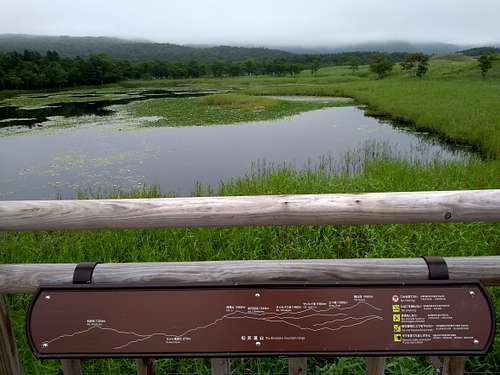
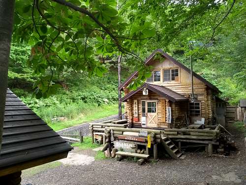
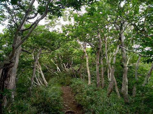
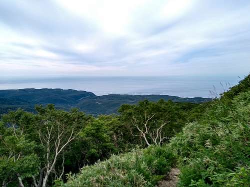
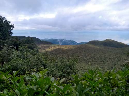
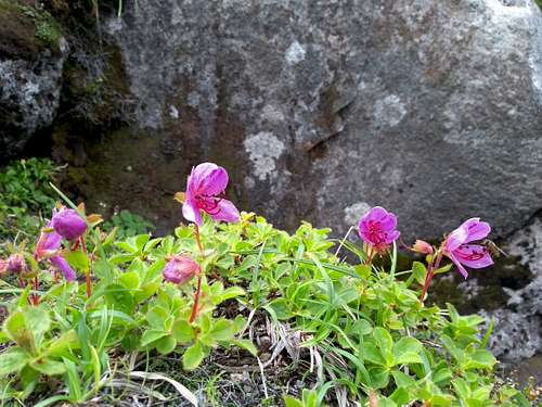
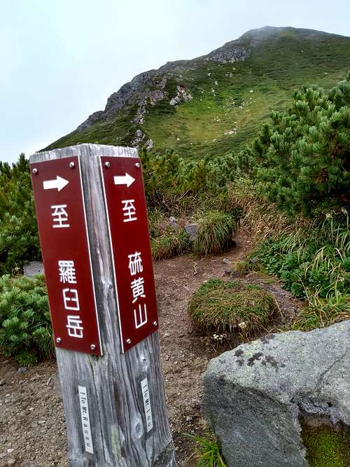
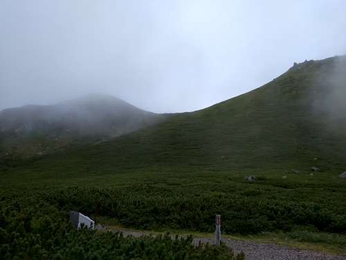
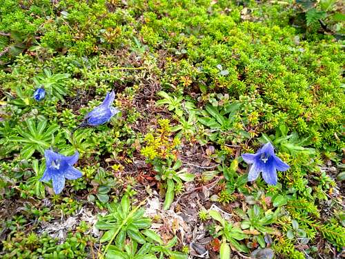
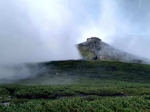
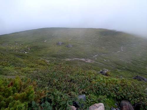
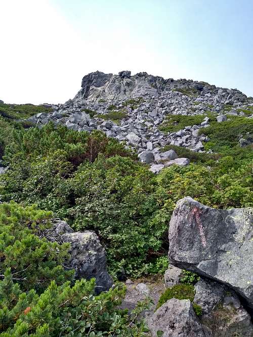
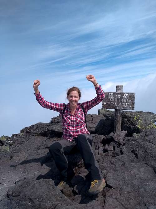
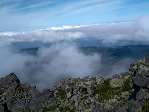
This is a photo TR on a 7km long hike from Iwaobetsu Onsen at 230m to Mount Rausu at 1661m, the highest peak in the Shiretoko Range. All the photos were taken by my daughter Hanna aka Fluffy, who - to my despair :) - has not logged into SP for years. She did this hike solo, out and back, on 29 August 2018. The area lies within Shiretoko National Park – a UNESCO World Heritage Site which encompasses half of the Shiretoko Peninsula in the northeast of the island of Hokkaido, Japan.  

Map in Iwaobetsu
Map in Iwaobetsu
Kinoshita Hut
Kinoshita Hut
Mongolian oak & Erman’s birch
Mongolian oak & Erman's birch
Towards Sea of Okhotsk
Looking towards the Sea of Okhotsk
Gokuroku Daira
Gokuroku Daira
Ginreisui
Ginreisui
Oo-sawa
Oo-sawa
Flowers in Oo-sawa
Flowers in Oo-sawa
Trail intersection on Rausu-daira
At Rausudaira campground
At Rausu-daira campground
Rausudaira flora
Rausu-daira flora
Mount Rausu
Mount Rausu across Rausu Plateau
Rausu Plateau from slopes of Mt Rausu
The plateau from slopes of Mt Rausu
Final stretch of ascent
Rausu-dake summit
Rausu-dake summit
Mt Rausu summit view

External Links

Kamuiwakka Falls
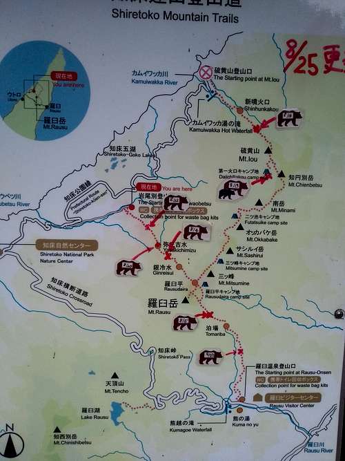
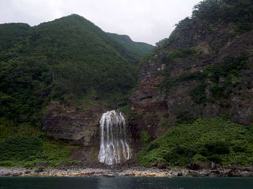
Kamuiwakka Falls, Shiretoko National Park


Comments

No comments posted yet.