
Comments
No comments posted yet.
|
|
Trip Report |
|---|---|
|
|
34.85920°N / 111.7113°W |
|
|
Dec 24, 2018 |
|
|
Hiking |
The 6834 ft. Munds Mountain is a flat-top mesa that rises more than 2400 vertical ft. to the east of Sedona, Arizona. I did a 14.3 mile one way hike up Schnebly Hill Trail to the summit of Munds Mountain and then down Jacks Canyon.
Monday December 24, 2018
My wife Mary and I left the vacation rental house in Sedona, AZ at 7:05 am (sunrise 7:30). The plan was for her to drive me 2.5 miles from the end of pavement on Schnebly Hill Road to 5000 ft. elevation where I would start my hike and then pick me up at Jacks Canyon Trailhead at the end of the day. The dirt road, although not requiring 4 wheel drive, proved to be way too rough. After only 0.4 miles from the end of pavement on Schnebly Hill Road, we decided to have Mary drop me off. I told her to expect me at the other end at 2:30 to 3:00 pm.
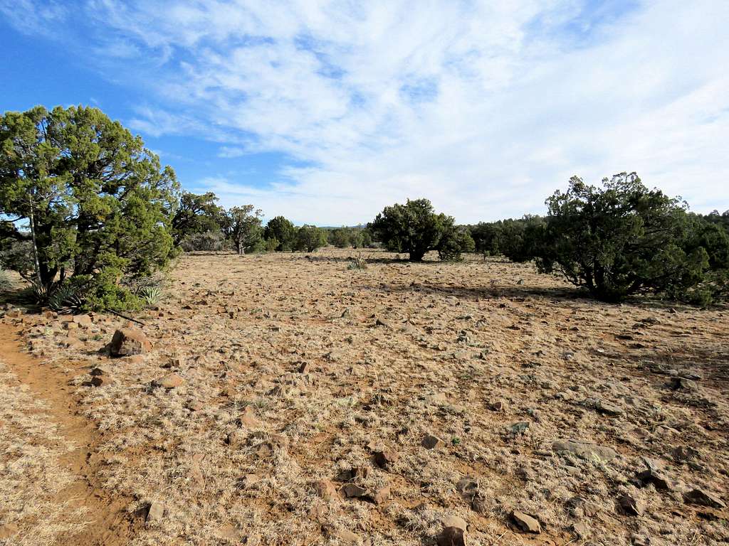
Started at 7:30 am and 4550 ft elevation by hiking the road. It was 37 degrees F. The sun was rising over Sedona to the west but I remained in the shade of the mountains. No vehicles or people went by for the period that I was hiking the road.
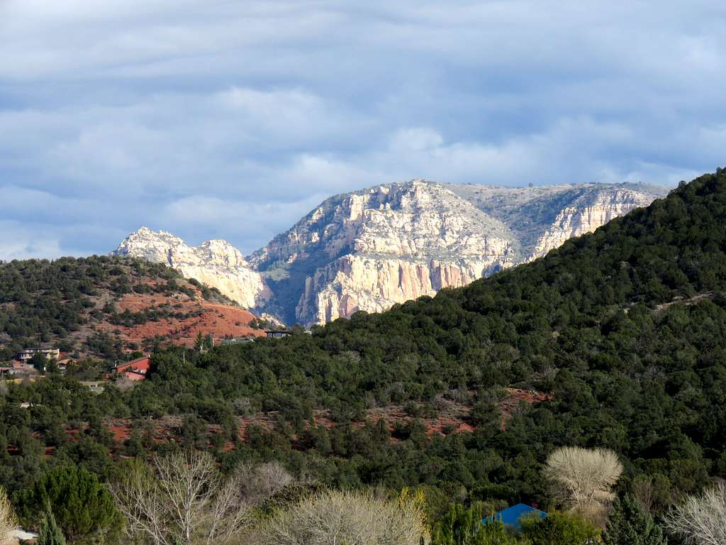
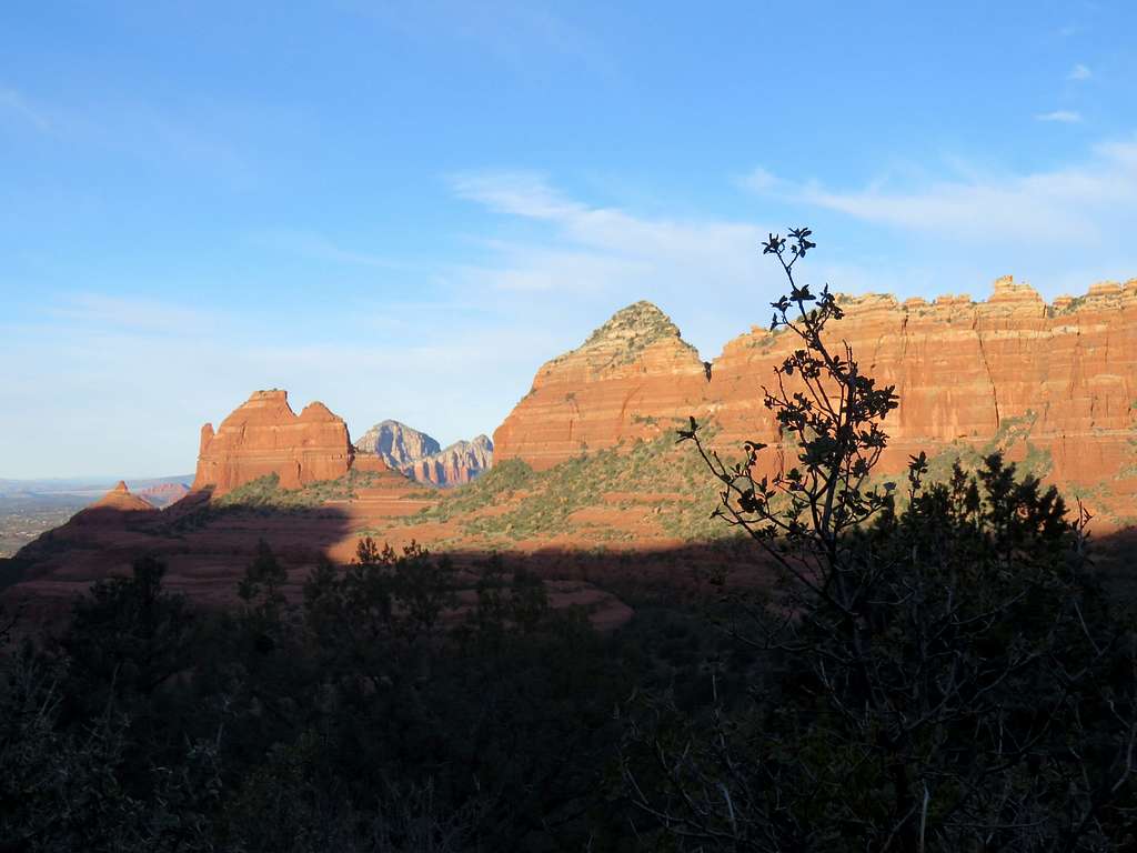
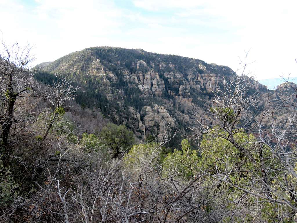
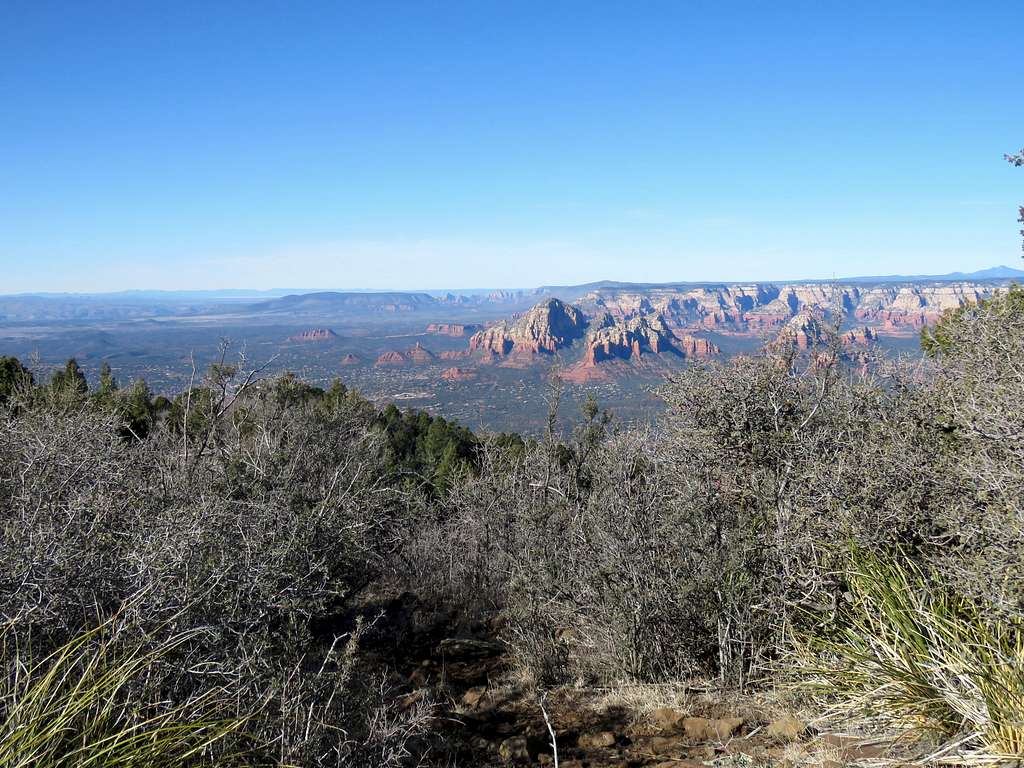
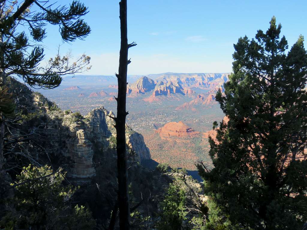
After 2.1 miles, at 8:20 am and 4950 ft, I reached where a trail crossed the road. This was where I had originally planned to start my hike. Got on that trail, which went generally in the same direction as the road but at some distance from it. A few times I heard Jeeps going by, some apparently by tour companies taking tourists on the road. The trail took me by a rock formation known as “Merry-Go-Round”. Red rocks and Munds Mountain were now in good view.
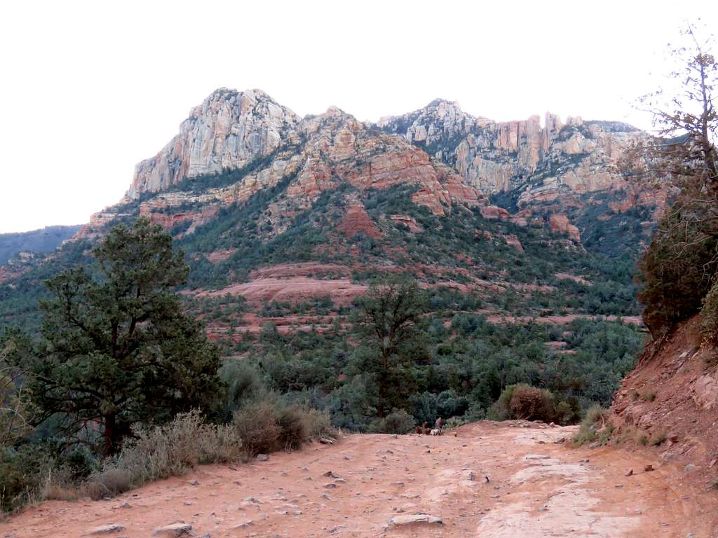
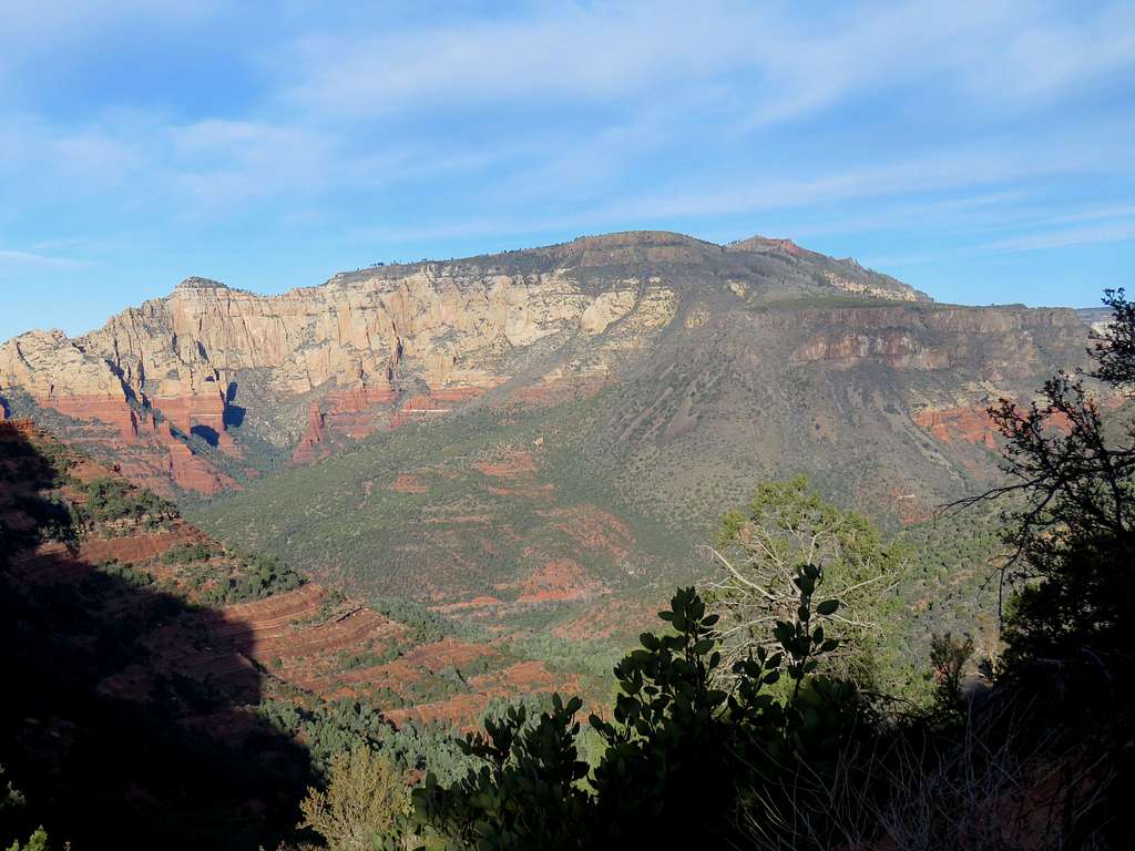
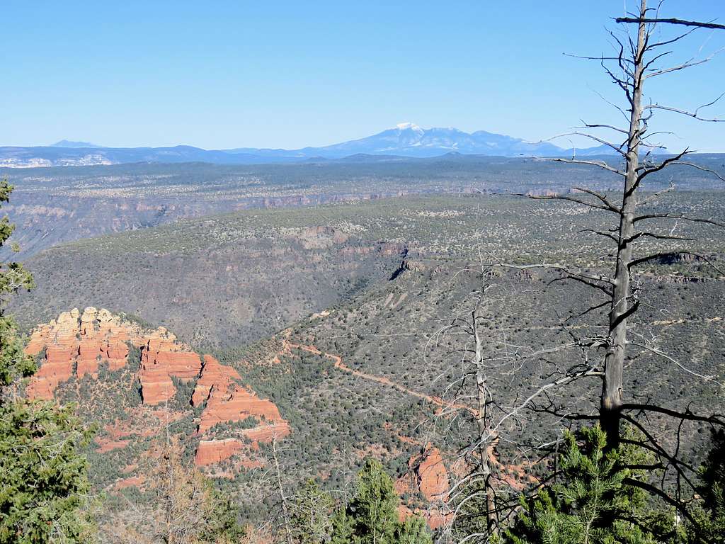
At 5600 ft, I reached a saddle where a spectacular view of Wilson Mountain appeared to the northwest. The trail made a switchback going away from the road. For the rest of the day, I did not see or hear anyone.
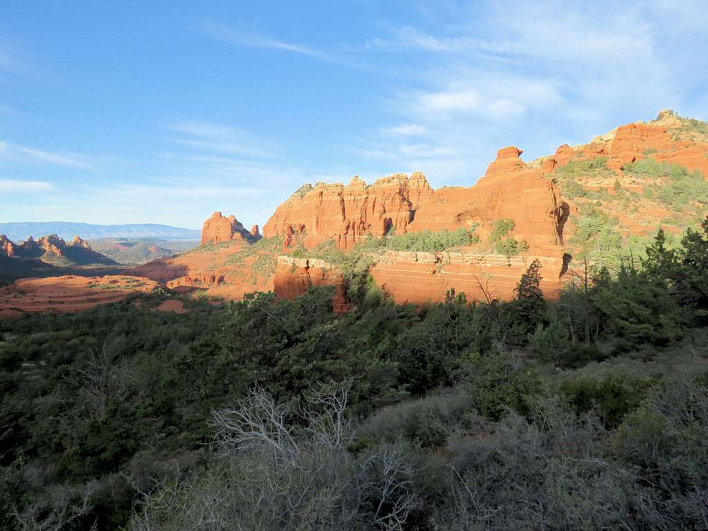
Continued up the trail. Merry-Go-Round was now well below me.
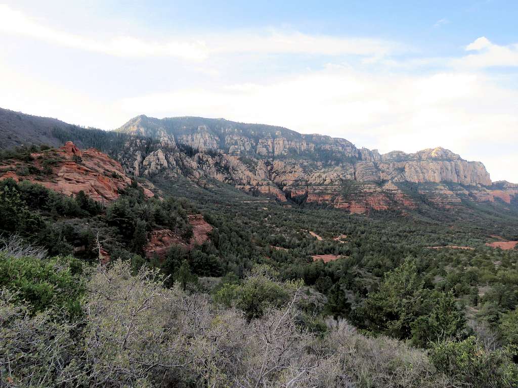
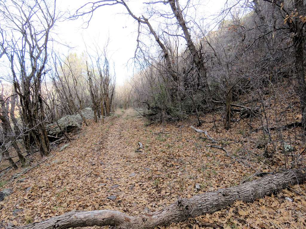
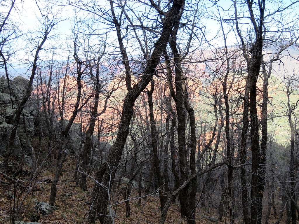
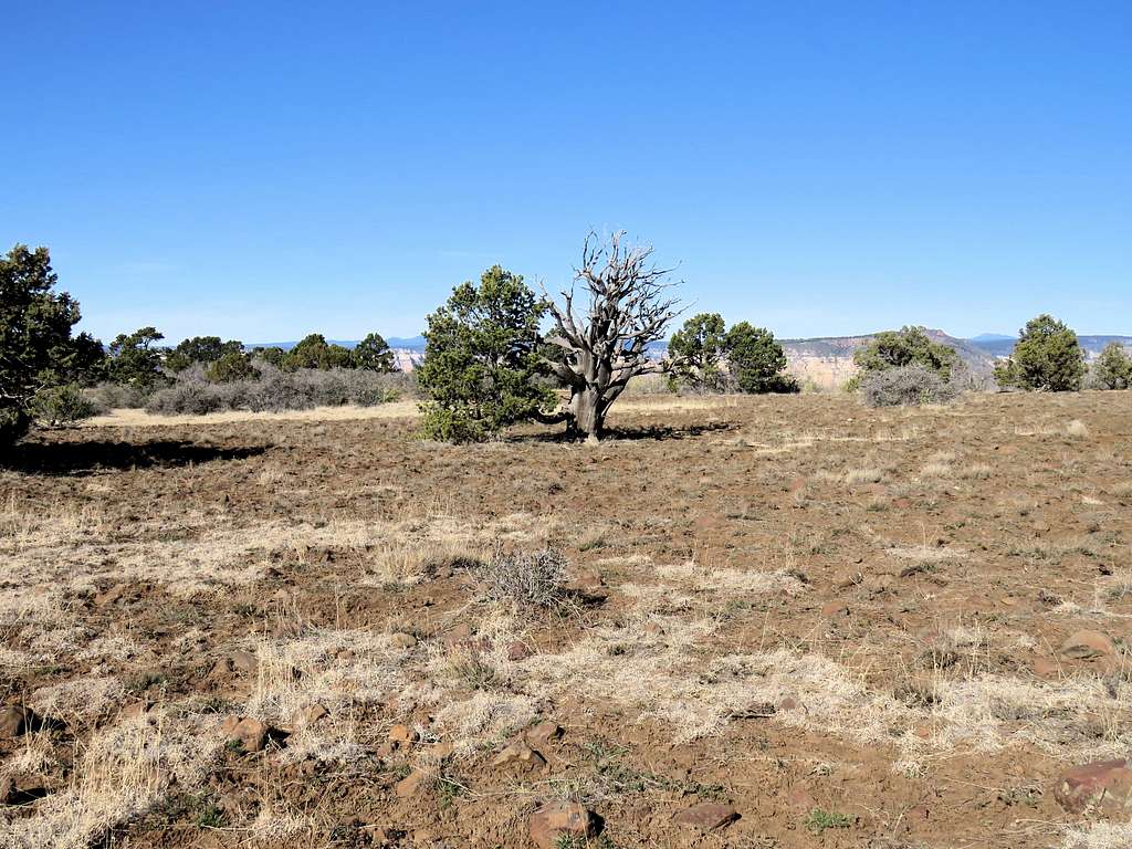
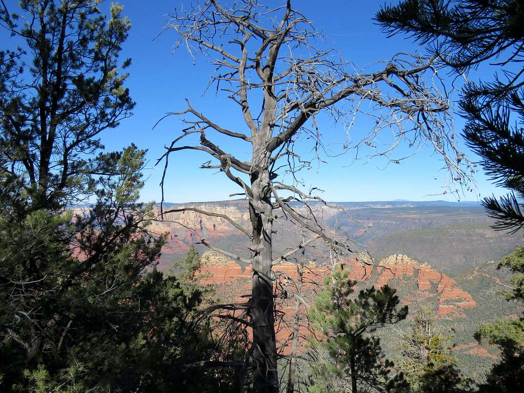
A deciduous forest appeared blocking my view most of the time.
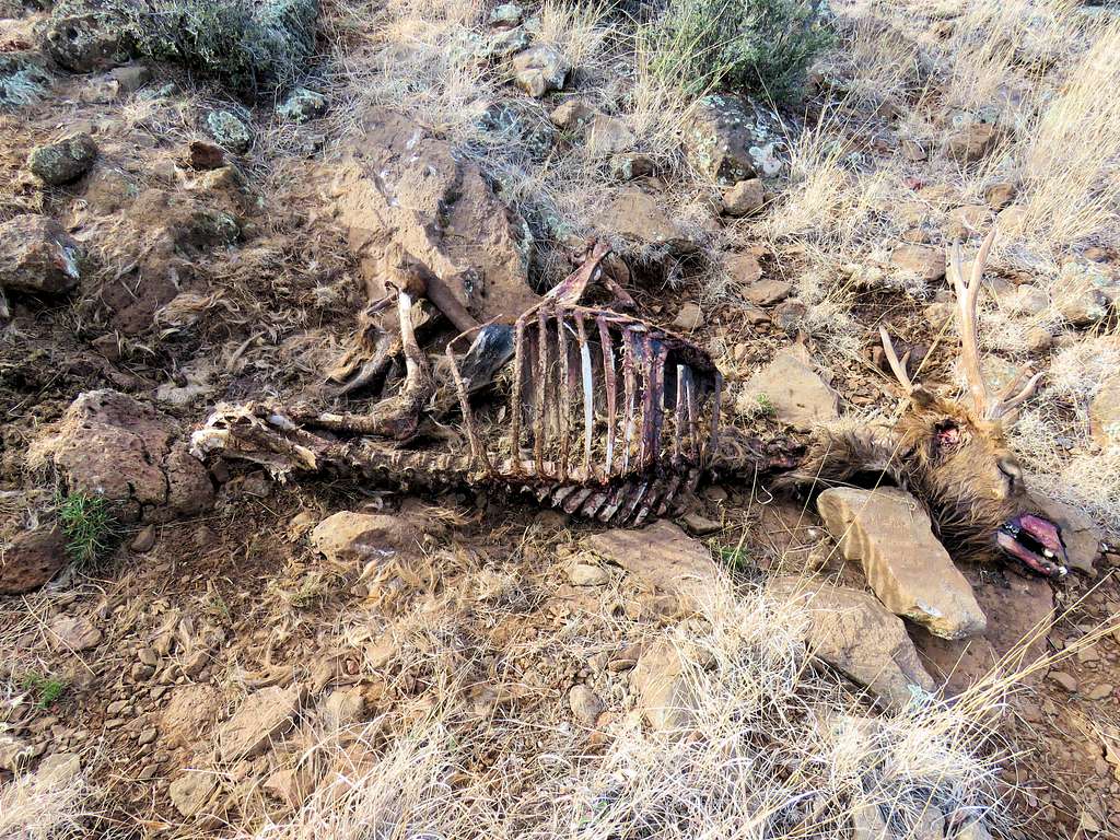
This unfortunate fellow was right on the trail.
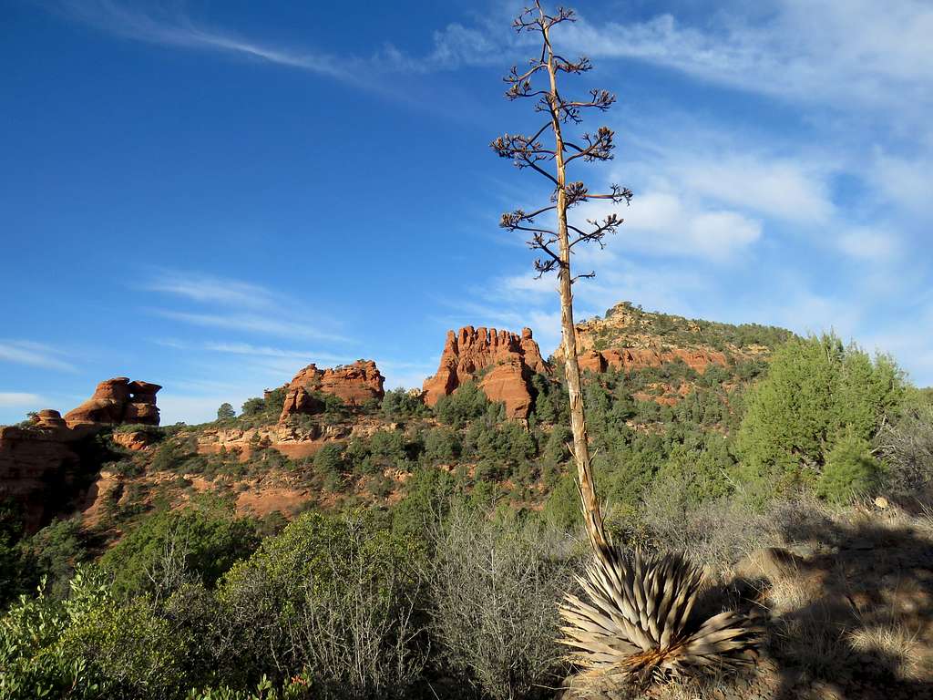
At 6400 ft, the trail went through a gate and then I suddenly found myself on top of a plateau.
Followed the path on the edge of the plateau into a forest and then 100 vertical feet down to a saddle at the base of the summit of Munds Mountain where the trail to Jacks Canyon split. The trail then began to go up steeply in the forest on the slopes of Munds Mountain until suddenly the forest ended and a big plateau opened up. That was the summit of Munds Mountain 6800 ft.
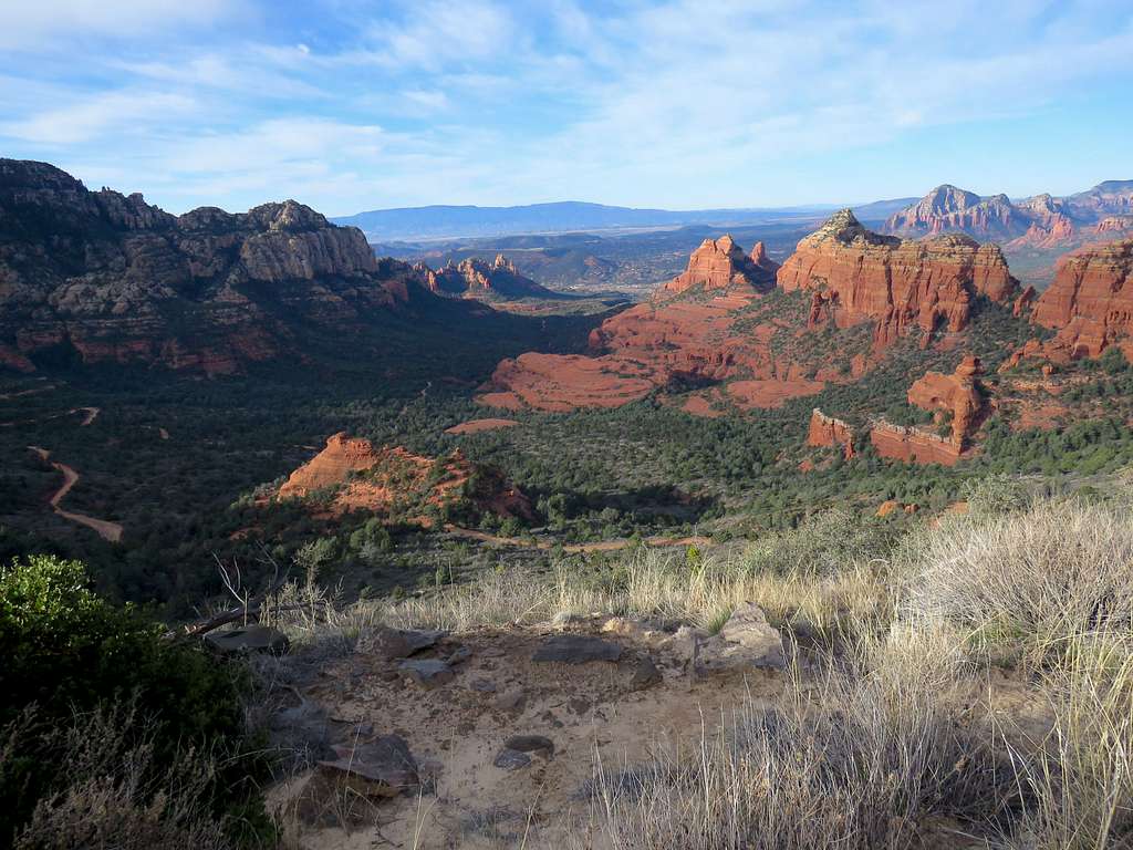
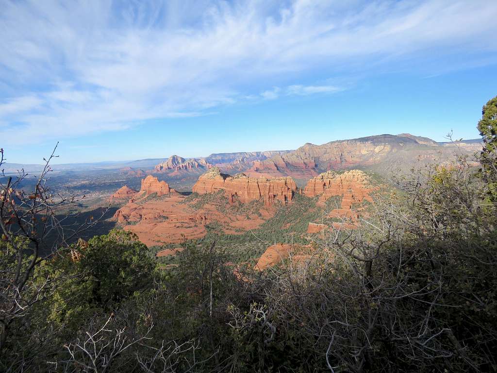
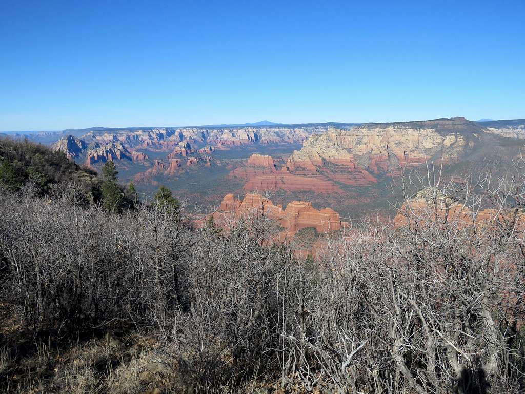
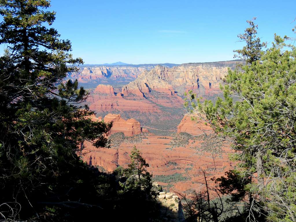
I was hopeful that the forest would not obstruct the view form the edge of the plateau. Hiked to a random spot on the edge of the plateau where I had good views. It was 10:40 am and I had gone 6.3 miles per my GPS.
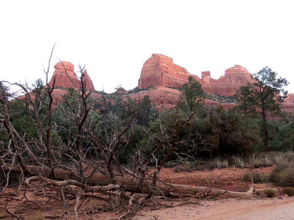
The impressive red rock view.
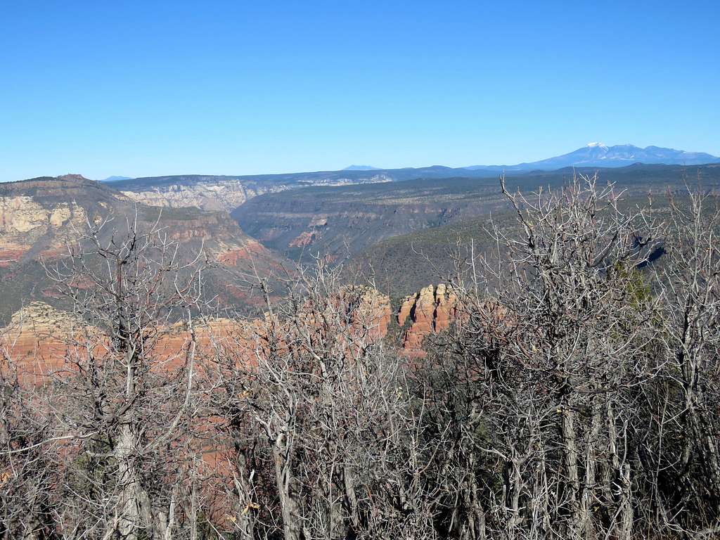
Oak Canyon and Humphreys Peak.
Sat there and had my lunch. Had good cell phone connection so I called Mary.
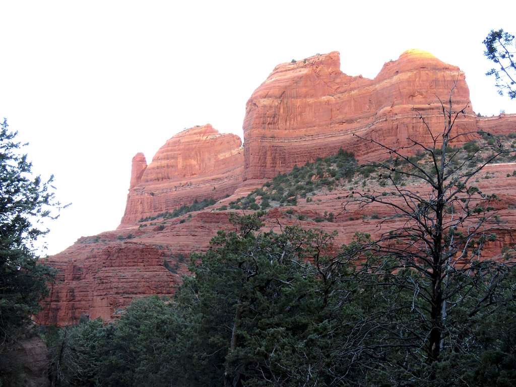
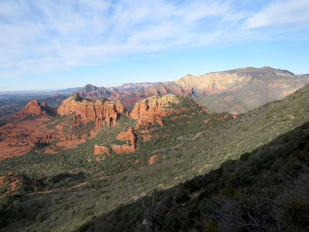
I then went to another spot by the edge of the plateau for a slightly different view.
Left at 11:00 retracing my way back to the saddle where Jack Canyon Trail split off. Views down the slopes of Munds Mountain.
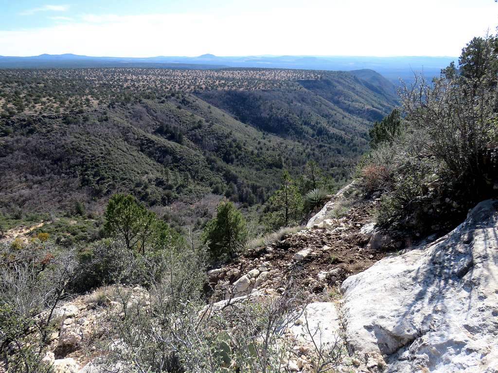
Jacks Canyon from the slopes of Munds Mountain. It did not seem to have the scenic red rock.
At 11:40, 6340 ft and 7.10 miles, I reached the saddle where I had been before and got on the trail that descended into Jacks Canyon. For the next many miles, I was mostly in a forest with limited views of the slopes of Munds & Lee Mountains. The canyon finally opened up giving me good red rock views. For pictures see the Jacks Canyon Page
Reached Jacks Canyon Trailhead (4270 ft) at 3:06 pm where my wonderful wife was waiting. My GPS showed 14.29 miles of hike with 2805 ft ascent. It was in low 50s degrees F.