-
 5921 Hits
-
 72.08% Score
-
 2 Votes
|
|
Route |
|---|---|
|
|
45.61160°N / 112.00829°W |
|
|
Hiking |
|
|
Half a day |
|
|
Overview
The Northeast Ramp route originates from Mason Lake and is by far the easiest route up Hollowtop, never exceeding easy Class 2 hiking with zero exposure. The worst part of this route is the 3.9 miles of rough road that requires high clearance and 4 wheel drive.
Getting There
From Interstate 90 take exit 256 and go south on Montana Highway 359 for 14.5 miles. Upon reaching the junction for US 287, turn right (south) for 1.5 miles into Harrison. Once in Harrison, turn right (west) on Montana Highway 283 to Pony. Zero your odometer after turning and drive through Pony toward the North Willow Creek Trailhead. You will not go all the way to the North Willow Creek Trailhead. At 7 miles watch for an unmarked road that climbs a hill on the right. The only signs visible at the time (July 2018) were a sign indicating a burn area and another sign indicating the hill. Turn right on this road, which definitely requires a high clearance four wheel drive. The road climbs steeply at first and is rocky but moderates. Follow the obvious main road, passing Cataract Lake, until you enter a fairly level clearing at 3.9 miles (45.645271N, -111.980136W.) At this point the unmarked junction for FS Road 938A to Mason Lake is on the left. Follow this road for 0.6 miles until it narrows and turns into ATV trail #6300 at 8,000 feet elevation. If you have an ATV, you can drive the remaining 1.5 miles to Mason Lake.
Route Description

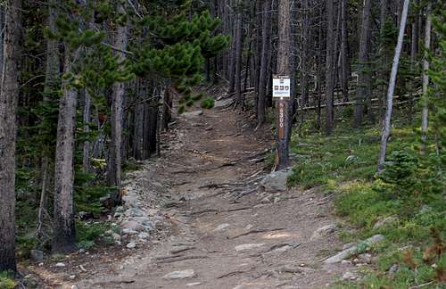
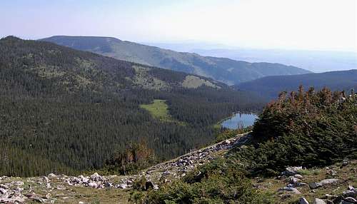
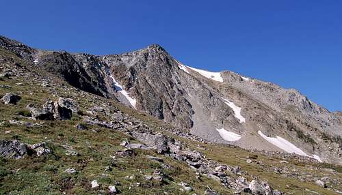
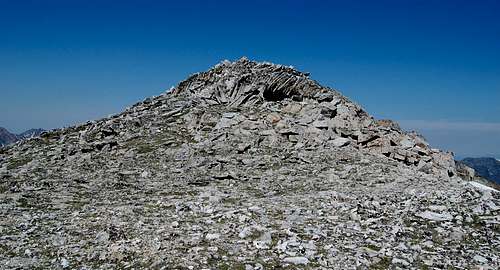
The hike starts at the ATV road and follows this well beaten path for 1.5 miles to Mason Lake where it ends at 8,400 feet. Once you arrive at the lake your goal is to stay on the west side of the lake and aim for the most gentle slope that leads to the main ramp at 45.625332N, -112.001731W. There are numerous climber/game trails that lead toward the ramp. If you arrive at an area that seems overly steep, just contour to the southwest for easier climbing. There are a couple small creek crossings (maybe 2 feet wide) and some mushy areas around Mason Lake that can't be avoided, so prepare accordingly. Keep heading up through the mostly open forest until you reach treeline at 45.622449N, -112.002511W. From here the route up is obvious. Just follow the path of least resistance all the way up, it's all walking. When you first see the summit it appears there might be some scrambling. However, once you get closer you will find numerous routes that are all walking. If you so desire to complete Jefferson too, the ridge route is simple walking and obvious.
Trip Statistics: 5.5 miles roundtrip, 2,600 feet of gain.


Essential Gear
Good footwear and water. I found the Tobacco Root map by Beartooth Publishing extremely helpful on this hike.
External Links
Add External Links text here.

