|
|
Route |
|---|---|
|
|
33.91590°N / 113.64104°W |
|
|
Scrambling |
|
|
Spring, Fall, Winter |
|
|
Most of a day |
|
|
Class 3 |
|
|
Overview
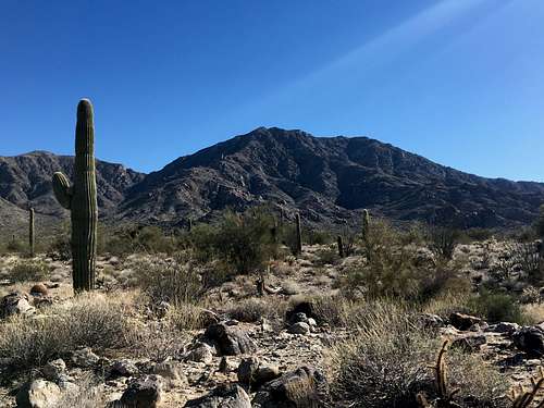
Given the difficulties with recent access on the south side of Harcuvar, the northeast ridge provides a nice alternative with shorter approach roads in decent shape with no issues of landowners fencing off routes. The northeast ridge also provides pretty good scrambling (at least by Sonoran Desert standards) on surprisingly solid rock. With great views to the north the entire route, opportunities for some interesting class 3, and guaranteed solitude, this route is highly recommended for anyone looking to expand their AZ P2K collection.

Getting There
From the town of Wenden, drive north on Alamo Road for 10.8 to just over Cunningham Pass. Turn left onto the signed Dirt "Powerline Road" and follow this for 2.7 miles. This road is graded and should be passable be most vehicles with decent clearance, although that could easily change after a good rain. After 2.7 miles, turn left onto an unmarked dirt road, still in good shape although with a few more ruts than Powerline. Follow this about two miles to just past an old fenced in pasture with rusted farming equipment and turn left one last time. Continue on this rougher road about a mile. Just before the road begins to hook east along the base of the mountains, either park here or turn right onto an old rocky track and follow it another 50 yards to the end and park.
Route Description
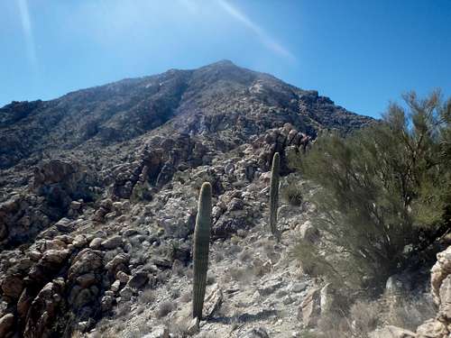
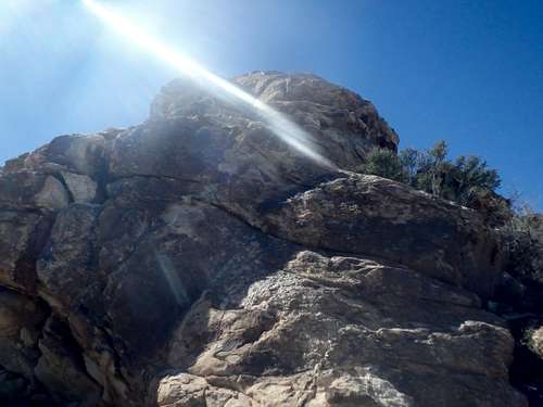
From the parking area, head more or less directly towards the main NE Ridge of Harcuvar directly across the canyon. There are several deep washes to cross, but a number of game trails can get you up and down safely. Nearing the base of the ridge start heading up where comfortable, the lower section of the ridge having really the only loose rock and soil on the entire route. About 1/4 of the way up, the terrain changes to a series of rocky outcroppings that can either be scrambled directly up and over and traversed on either side to keep things class 2. Every rock outcropping can be climbed at class 3 (some harder than others) so don't worry about being cliffed out heading up one. The largest gendarme/ rock outcrop is about halfway up with a gap in the middle to jump if you decide to head up and over. The upper part of the ridge has a cliff band that seemed like it would be difficult to keep class 2, but again, I found the rock to be very solid. Reaching the top of the ridge, the highpoint is still about a half mile off, with some easy scrambling over several false summits to the top.

Essential Gear
Plenty of water in warmer weather. Trekking poles may be helpful when descending the lower section of ridgeline.

External Links
Write up of my trip report: The Mountains Are Calling

