-
 4616 Hits
-
 73.06% Score
-
 3 Votes
|
|
Route |
|---|---|
|
|
45.84516°N / 114.38828°W |
|
|
Hiking, Mountaineering, Mixed, Scrambling |
|
|
Spring, Summer, Fall, Winter |
|
|
Most of a day |
|
|
Class 3 |
|
|
Very strenuous |
|
|
I |
|
|
Overview
Route Types – Scramble Class Level – Class 3 Elevation – 9,459’ Gain – 4,299’ Distance – 10 miles (total) Length of Time Required to Complete this Route – One of More Days
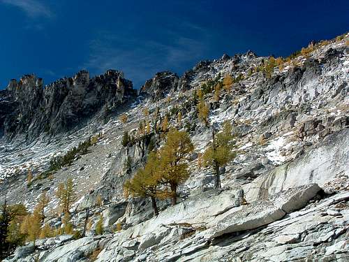
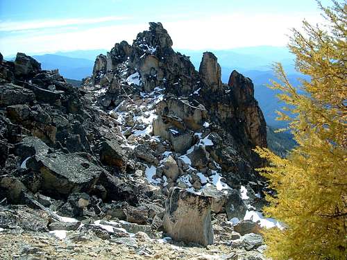
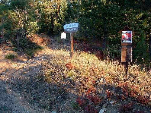
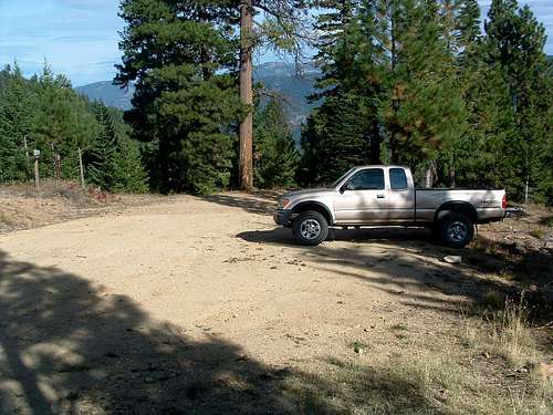
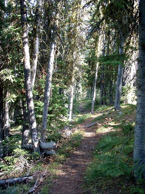
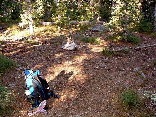
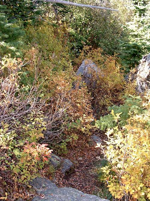
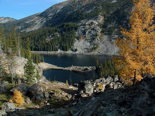
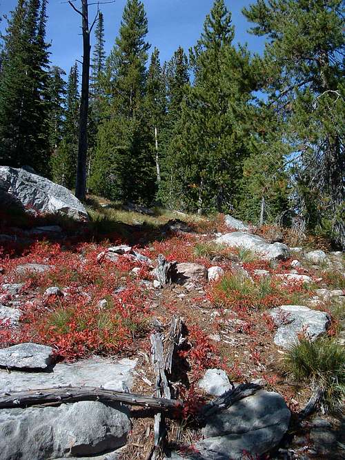
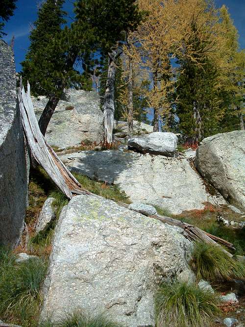
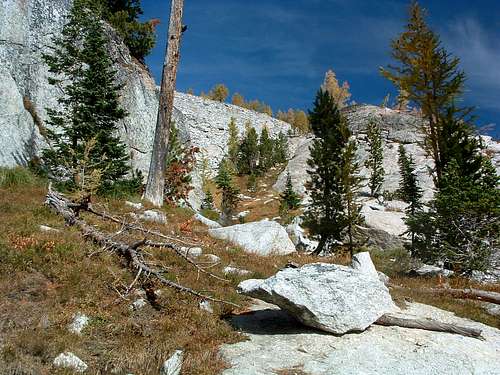
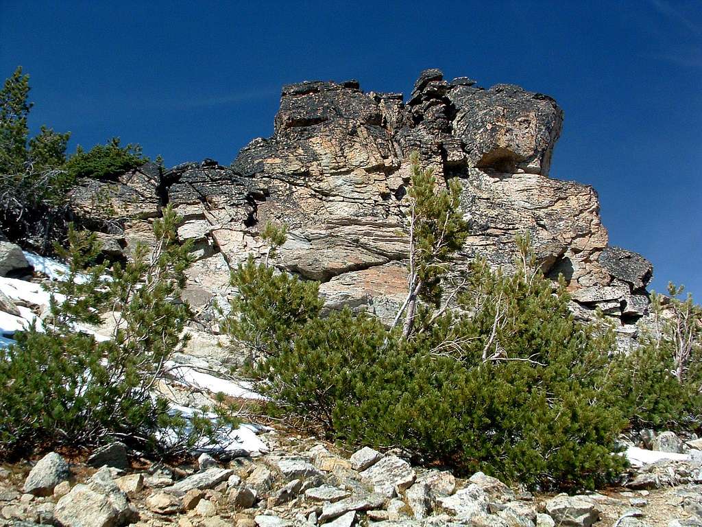
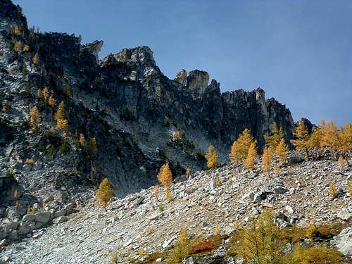
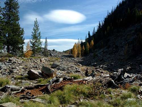
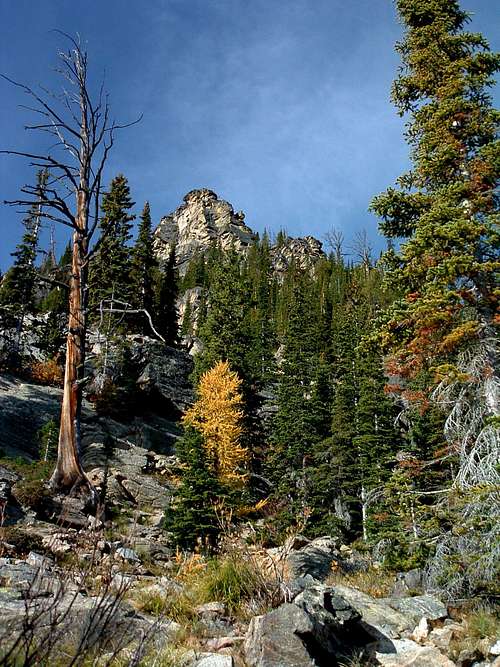
Nelson Lake Trailhead allows the closest access to this summit; however attempting to stay on the ridge-crest for an approach to the peak along its southeast ridge forces one to deal with one of the craggiest ridges in the Bitterroots. In order to avoid those crags and gendarmes, this route drops off of the southeast ridge and follows the Nelson Lake Trail until it disappears near its namesake. From there it continues to the northwest and up a buttress onto the northeast ridge of Bare Peak - East. The climbing, though strenuous, never exceeds Class 3. Note: Most Topo maps show the name Bare Peak assigned to a highpoint of 9,289’. Because there are two other highpoints of even greater elevation, Bare Peak - North Summit (on the Montana/Idaho border) at 9,439’ and Bare Peak - East Summit at 9,459’ on the ridge, I find this strange. Some may even consider its closeness to Bare Peak - North Summit to disqualify Point 9289 as a separately named summit altogether, because the low point on the ridge-crest between the two does not meet or exceed a 300’ difference in elevation. Getting ThereNelson Lake Trailhead From Hwy 93 take Montana Hwy 473 (West Fork Road) west for 14.3 miles to the junction with Nez Perce Road (468). Turn right (south-southwest) onto Nez Perce Road and drive almost 3 miles to the Nelson-Gemmel Road (5633). Turn right (west) onto the fairly good gravel road. Drive about 2.7 miles and turn right (west) at the junction as directed by the sign for Nelson Lake Trailhead. In spite of the fact that the sign shows 3 mile to the trailhead, it is only 2.5 miles to the pullout. There is parking for about six(6) vehicles but no restroom facilities. The trail leaves the parking area in a north-northwest direction. Route DescriptionOnce you leave the trailhead, if you have the feeling this trail is going to have as steep an initial ascent as many, if not most, others in the Bitterroot Mountains, you’d be correct. For at least 20 minutes, you’ll climb on a good trail right up the crest of the ridge, when you will come to an opening in the woods which allows you to get a glimpse of Boulder Peak’s ridgeline a couple of miles to the north. From this point the trail traverses toward the southwest as it attempts to keep to the ridge-crest. Then, only a few minutes later as the trail turns once again to the northwest, you continue climbing through a woods that never gets extremely dense and allows periodic views to the north or south. 30-35 minutes later, after the steepness of the trail lessens when it turns once again, this time to the west-southwest, you will reach a fork in the trail marked only with one small cairn. The left fork goes toward the Bare Peak Overlook. You will go to the right (west-northwest) toward Nelson Lake. For the next .25 mile the trail continues to gain elevation, though at a much reduced rate than the portions of trail you have already covered. It is from this point (just over 1.5 miles from the trailhead) that the trail begins to descend as it traverses along the side of the ridge toward Nelson Lake. Fortunately, the total amount of descent is only a couple of hundred feet and happens very gradually, so that during your return trip you’ll barely notice you’re gaining elevation. A short while later, the trail leaves the confines of the forest’s trees, as it approaches files of talus which have flowed down the slopes of the ridge. From here on, the trail is sometimes difficult to follow over and around the mixture of talus and brush. Periodically you will see cairns marking the way, especially over talus fields. But in spite of the sparsely spaced cairns, the trail is braided in several places as it ascends slightly while continuing to traverse along the side of the ridge toward the lake. Nelson Lake is not manmade, as are many of the lakes in the Bitterroot Mountains. This lake was formed when, centuries ago, a huge landslide poured from the side of Boulder Peak and blocked the drainage. Interestingly enough, it at first appears there is no outlet for the water from the lake; however the water from the lake resurfaces about one mile downhill from the lake to form Nelson Creek. There are several other old landslides in this area of the Wilderness (though not in the same drainage), but no others seem to have formed lakes similar to Nelson Lake. Upon emerging from the dense woods, you will cross an open area that appears to be a bog during wet periods of the year. There is a small stream passing through it toward the southeast. (This stream does not appear on any maps I have at my disposal. I only mention it as a landmark.) The Ascent Continue toward the northwest. Try to stay on the crest of what is a long gently-sloped buttress leading to the northwest ridge of Bare Peak. Follow this ridge-crest for approximately one mile, when you reach an area on the buttress which is almost level. Just after passing the boulders, you will see one final section of talus you must climb to reach the crest of Bare Peak’s northeast ridge. This is a short Class 2 or easy Class 3 climb. As you climb, begin traversing to your left (northwest). Once on the crest, you will have outstanding views of Bare Peaks rough southeast ridge and the surrounding peaks. Continue to climb up the crest of the ridge in a southwesterly direction. You only have about a half mile to go before reaching the summit. With about a quarter mile to cover before the summit, you will reach an uplift, almost a cliff, on the ridge-crest. The summit is on this uplift. You can either immediately climb onto the uplift, or, if you prefer, proceed along the left (southeast) side until you reach a point close to a saddle in the southeast ridge before climbing up to the summit. The summit has no human-made marks that I could find, no survey marks, no cairns, and no summit register. What I did find were some of the best views of the surrounding area that one can imagine. Always one for a little exploring during any expedition, I decided to have a go at a descent route different from that of my ascent. If possible, I knew it would shorten my return trip plus provide additional information about this seldom visited area. The route I chose was one which descends in an almost straight line toward the mostly level section on the buttress just below the field of large boulders. Unfortunately, the slope is almost entirely composed of scree and small loose rock. (I believe this would preclude using it as an ascent route unless it was covered with compacted snow. I also think that it would be susceptible to avalanche, so be forewarned.) It turns out the recent snows had moistened the scree to the extent that it was “almost” tolerable. There was still plenty of slipping and sliding as I descended, but it was controllable. Toward the bottom of the slope, the scree fades into talus, a much more manageable footing. Exiting from the talus onto actual grass-covered earth, I continued downward over the gentle slope through the open larch toward the buttress. I reached it in short order and rejoined my route of ascent which I reversed to the trailhead. As it turned out, this is a viable descent route, but only under conditions which do not include the possibility of avalanche. Essential GearStandard hiking gear is all that’s required for this route unless weather conditions dictate otherwise. There is plenty of rock climbing and scree skating if you use the descent route, so sturdy boots are a necessity.Water is only "reliably" available on this route at Nelson Lake. Be sure to carry plenty with you. When to GoThis route is usable at any time of year, though snow or ice will make it more difficult. Compacted snow will necessitate the use of crampons in certain places during ascent. If the descent route is snow covered, an ice ax and the knowledge of its use will be required. Be aware that portions of this route pass through avalanche-prone areas. If you choose to use this route during winter, be sure you are either an expert at reading snow conditions or are with someone who is. Route StatisticsAdditions and CorrectionsPost an Addition or Correction |




Dennis Poulin - Oct 25, 2008 7:20 pm - Voted 10/10
TopoThe topo attached to this fine page is not for Bare Peak.
Michael Hoyt - Oct 25, 2008 8:02 pm - Hasn't voted
Re: TopoHey thanks, Dennis. I don't know how THAT happened, but it's fixed now. Thanks again for the heads-up. Mike