Lake Powell Update:
Runoff going into Lake Powell is 180 percent of normal.
Rising water is creating a landscape that looks
dramatically different than what it did last year.
Currently, the lake is rising 12 inches (vertical rise)
per day.
Right in the middle of Padre Bay , there's a long skinny peninsula that sticks out to a rock called Padre Butte. When the water rises, it becomes an island and the peninsula is covered (completely).
(The Arizona Republic - May 18, 2008)
History of the area:
The last great Spanish exploration in the Colorado
basin took place in 1776, when two Franciscan fathers,
Escalante and Dominguez, tried to find a practical
route between Santa Fe, NM, and Monterey, CA. They
traveled far to the northwest, reaching "Timpanogotzis"
(Utah Valley), and then, their purpose unachieved,
returned to the south. They intended to cross the
Colorado in that direction and visit the Havasupai, but
Paiute Indians told them that the country ahead held
little water, and they would not "be able to cross the
river in this direction because it ran through a
tremendous gorge and was very deep."
Thus they were warned of the barrier which is the
Grand Canyon. They turned to the east, seeing upper
Marble Canyon as they searched for a ford of the
river. This they found on Nov. 7 at "El Vado de los
Padres" (The Crossing of the Fathers) in Glen Canyon.
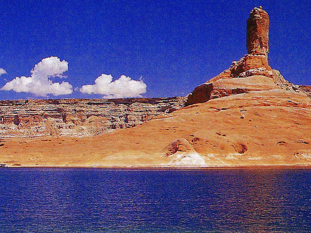
Geographical location:
Even though the Cookie Jar Butte (tower) is
located in Kane County, Utah, the only access
I know of is by boat. Wahweap Marina is
12.2 miles to the southwest, on the western
side of Lake Powell.
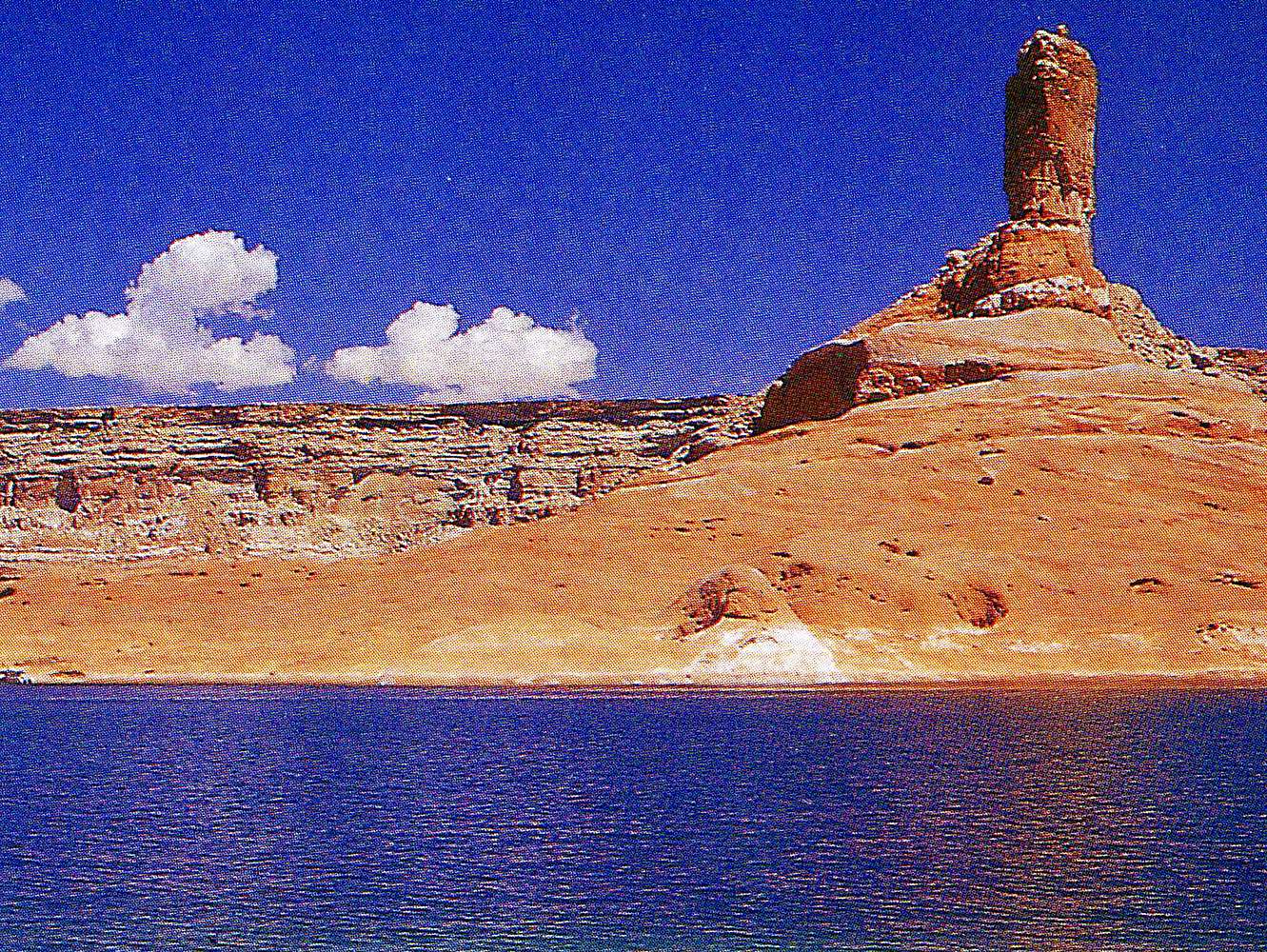
This photo was taken by photographer Gary Ladd several
years ago. This is looking north across beautiful
Padre Bay at Cookie Jar Butte. Do you see the houseboat
parked at the extreme left-center of the picture? Well,
that's where I'd like to be parked right now!!


Comments
Post a Comment