Welcome to SP!  -   
 
 New features are here! - Read More... 
Areas & Ranges·Mountains & Rocks·Routes·Images·Articles·Trip Reports·Gear·Other·People·Plans & Partners·What's New·Forum

Pamola Peak and (most of) the...

 
[ Sizes: Orig | Med | Small | Thumb ]
Pamola Peak and (most of) the...
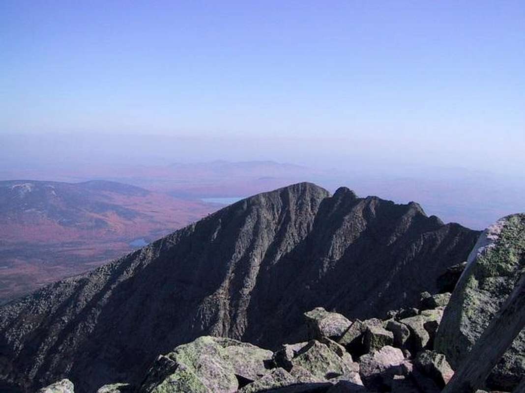
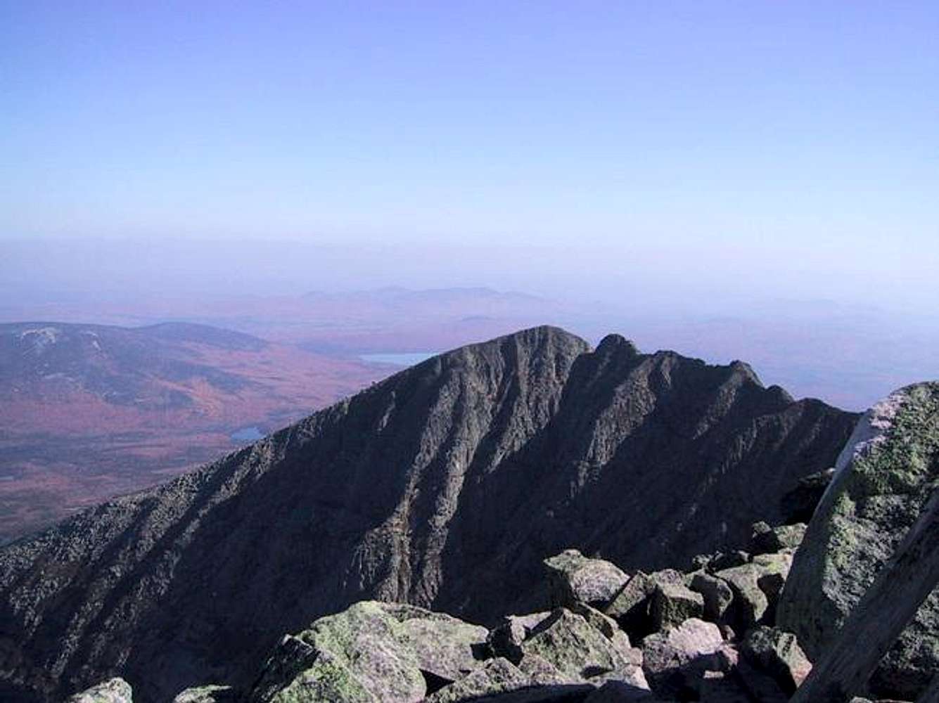
Pamola Peak and (most of) the Knife Edge, seen from Baxter Peak.
This shot also shows the route of the Dudley Trail which, starting from Chimney Pond, traces the mountain's profile coming up from the left.

The gulf between these peaks is (part of) the Great Basin, a large glacial cirque. The near-vertical wall facing the camera is a telltale sign of glacial erosion.

Oct 11, 2003


Creative Commons License

This image is licensed under a
Creative Commons Attribution-Noncommercial-Share Alike 3.0 License.


Comments

No comments posted yet.


Sign in to post!

Don't have an account? Register now.


Rate This Image
Current Score: 89.22

Log In To Vote
 Pamola & Chimney Peaks on Katahdin (Album)

Katahdin
« PREV

Viewing
#2 of 46
GALLERY
The Knife Edge
NEXT »

 nartreb's Image Gallery

Evening glow
« PREV

Viewing
#9 of 734
GALLERY
View west over Mt Hancock...
NEXT »


 Katahdin (Mountain/Rock)


 Knife Edge, Helon Taylor (Route)


 Dudley Trail (Route)


 The Appalachian Trail (Album)


 Glacial Art (Album)


 Knife Edge on Katahdin (Album)


Image Data

nartrebSubmitted by nartreb
on Oct 5, 2004 5:28 pm

Image ID: 72484
Hits: 11672 

Lat/Lon: 45.90440°N / 68.9228°W


"I got you into climbing! If it weren't for me you'd still be a gravity-infected loser groundhog!"   --Steger   

© 2006-2012 SummitPost.org. All Rights Reserved.