
|
|
Mountain/Rock |
|---|---|
|
|
34.33050°N / 114.2034°W |
|
|
Download GPX » View Route on Map |
|
|
Hiking, Mountaineering |
|
|
Winter |
|
|
2056 ft / 627 m |
|
|
Overview
Rank: Peak 2056 ft is California’s 9213th highest ranked peak
Prominence: 956 ft
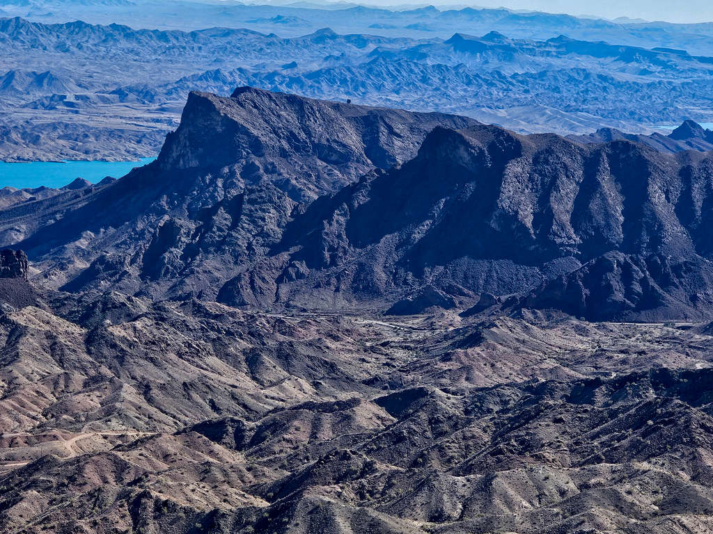
Peak 2056 ft rises in the Whipple Mountains of southeastern California on the western shores of Lake Havasu. The northeastern face of Peak 2056 ft creates a 400 ft cliff that appears as a jagged horn from the road that goes to Black Meadow Landing. No trail goes to or near Peak 2056 ft. On the internet, I had seen a website that talked about an approach from the west via a class 3+ route to the summit of Peak 2056 ft. Google Earth imaging however, seemed to indicate that the peak could be climbed from the southeast via a walkup route. The only obstacle seemed to be restricted legal access because of Gene Wash Reservoir facilities. To avoid No Trespassing signs, I started my hike at a spot as shown on the map below.
Getting There
From Parker, Arizona, cross the bridge over Colorado River into California. Get on Parker Dam Road and drive 15.5 miles north to just south of Parker Dam (From Lake Havasu City, Arizona, you could drive south on Route 95 and cross the river into California over Parker Dam. The dam is closed from 11 PM to 5 AM, check times online since it might change).
Get on Trail End Camp Road and drive 4 miles to an open area where a road that goes to Gene Wash Reservoir Airport branches to the right. That might seem like the perfect place to park and start the hike, but I saw no Trespassing signs. To avoid that, I drove 0.55 more miles to a place where another facilities road branched to the left and parked on the right side of the road.
Route/Trip Report
Starting Point elevation: 1000 ft
Lowest Point Elevation: 875 ft
Summit Elevation: 2056 ft
Roundtrip Hiking Distance: 5.1 miles
Total Ascent: 1650 ft
February 16, 2024
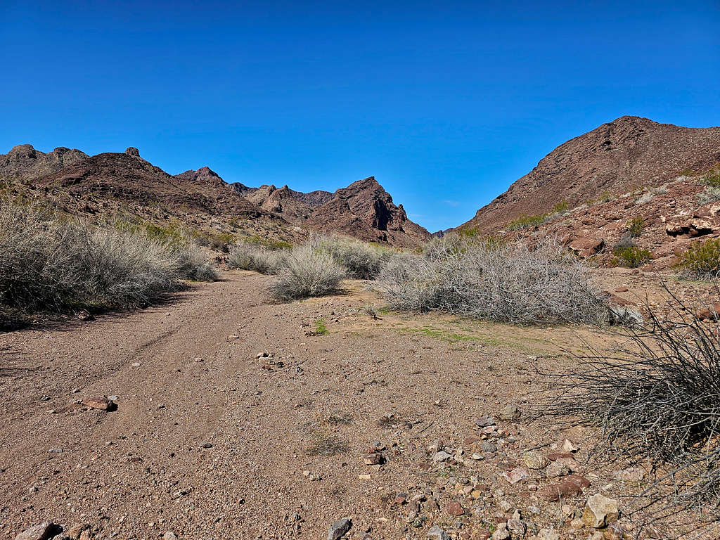
Made it to Trail End Camp Road just before sunrise. After 4 miles on the road, I reached a plain where the road to Gene Wash Reservoir Airport branched to the right. Peak 2056 ft was well visible but there were No Trespassing signs in that area, so I continued another 0.55 miles going into the mountains until another facilities road branched to the left. That was my chosen starting point. Caltopo website had indicated that I would be on public lands.
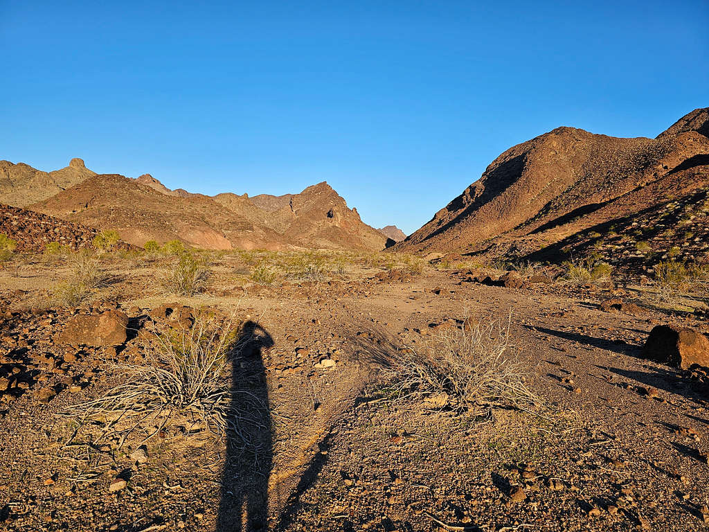
Started my hike at 6:35 AM. Elevation was 1000 ft. Peak 2056 ft was not visible. Headed east going down a drainage.
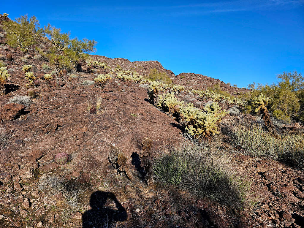
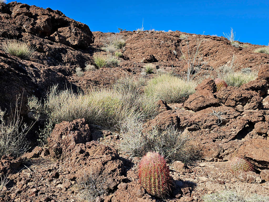
After half a mile, a plain opened and the slopes of Peak 2056 ft came to view to the north. A spot that I had planned to hike on the ridgetop appeared rocky and steep.

Went down into what looked like a dry riverbed at the base of the mountain. That was the lowest point of the hike at 875 ft.
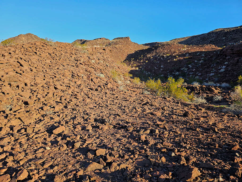
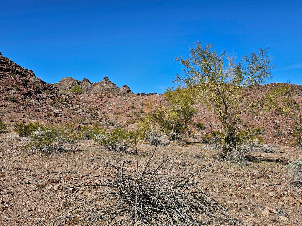
On Google Earth, I had seen what had looked like a broad drainage that went up the slopes not too steeply to reach the top of the ridgeline. I entered that drainage and began to walk up.
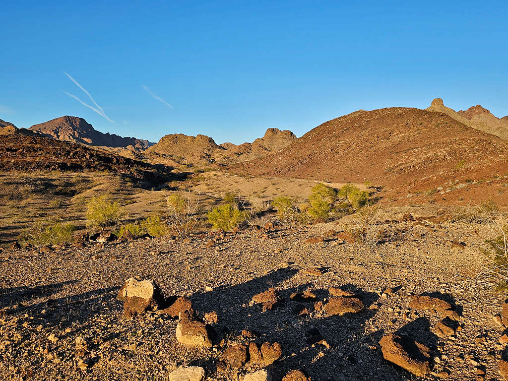
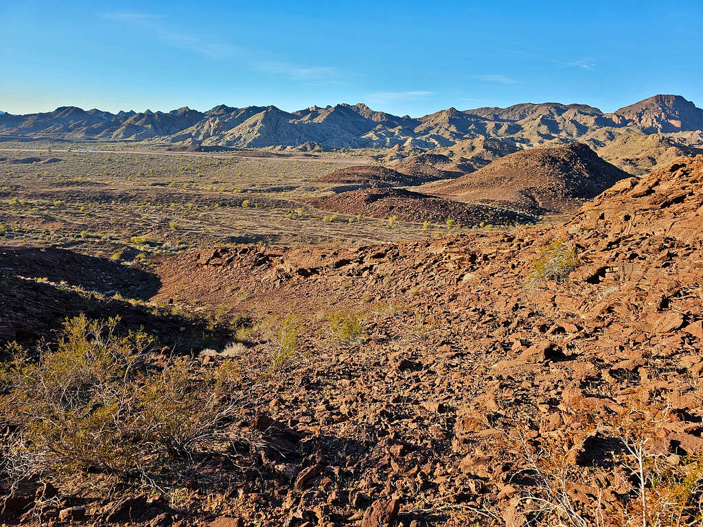
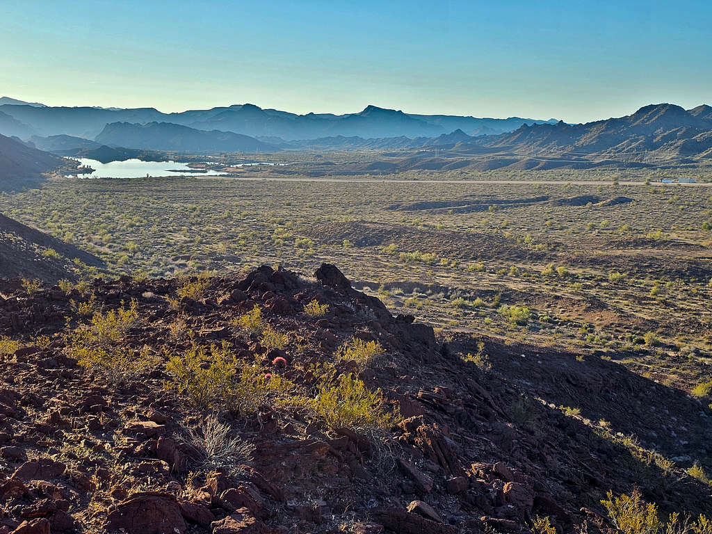
Looking back at the plain that I had come from.
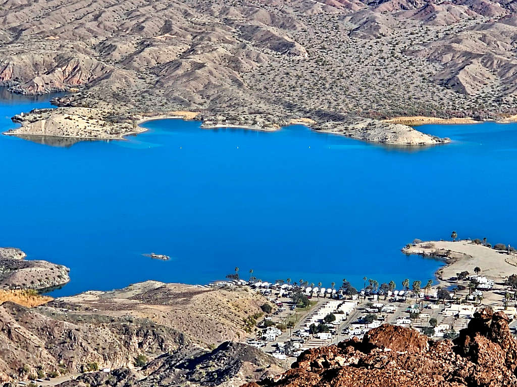
Gene Wash Reservoir.
Near the ridgetop, the difficult spot that I had been concerned about came to view.
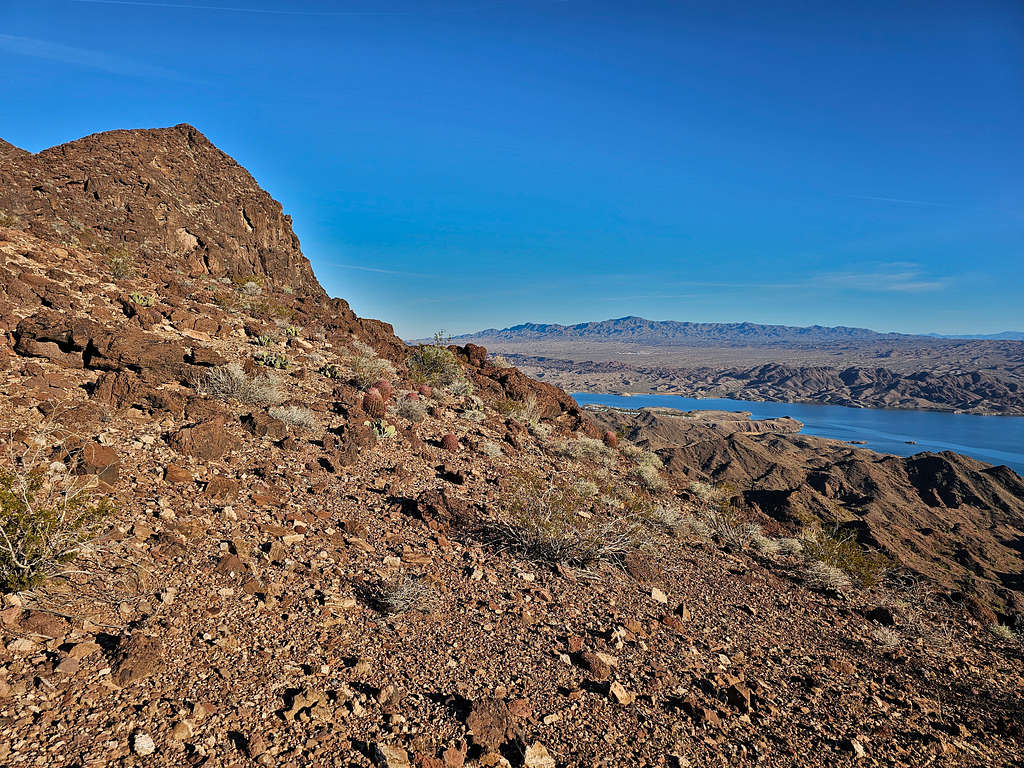
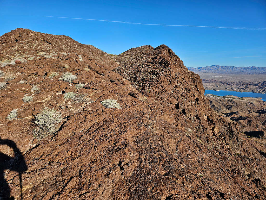
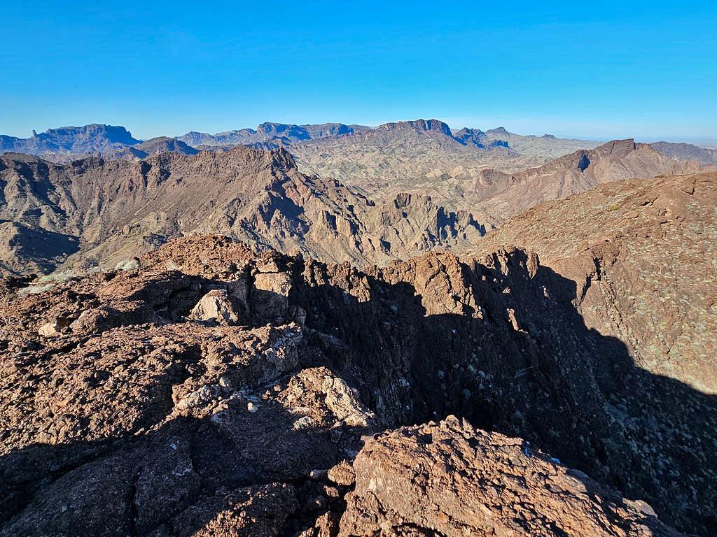
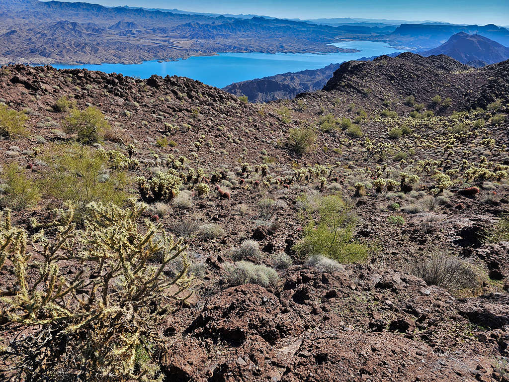
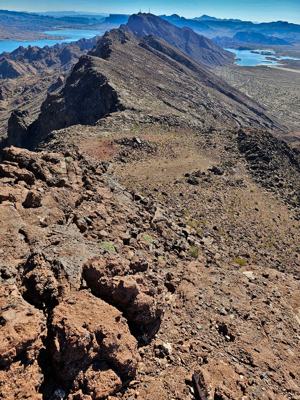
On the ridgetop, Lake Havasu and the distant Crossman Peak appeared.
Going up the steep rocky area actually turned out to be not bad at all. Above the steep section, the rising ridgetop appeared without further difficulties.
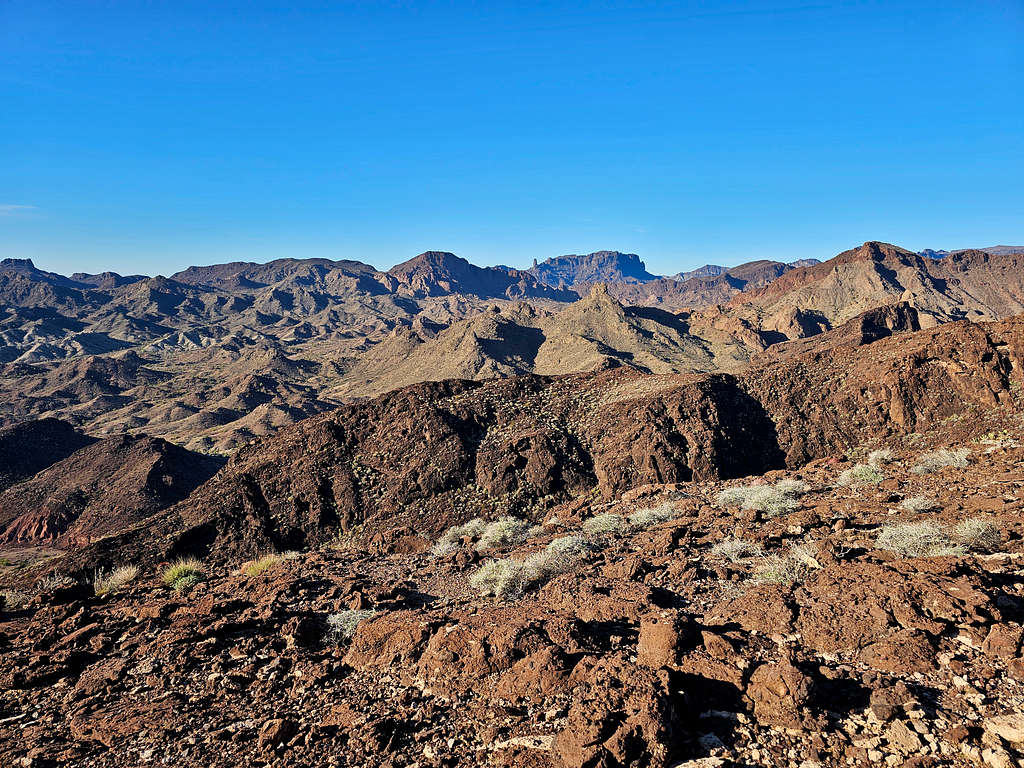
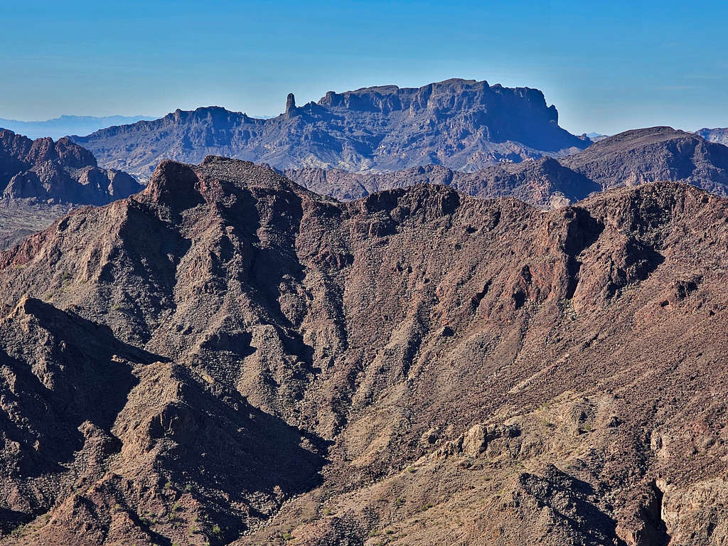
Monument Peak from the ridgetop.
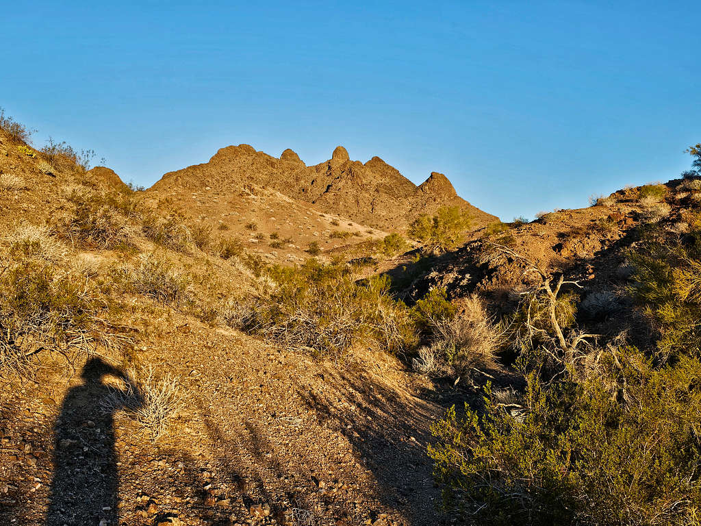
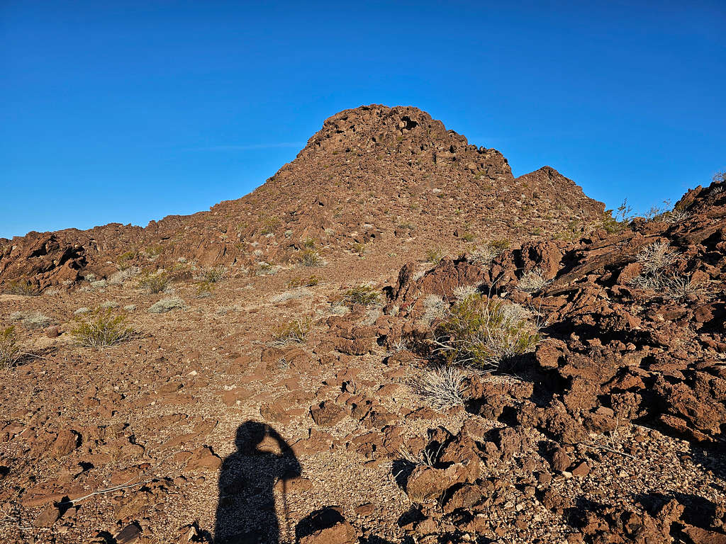
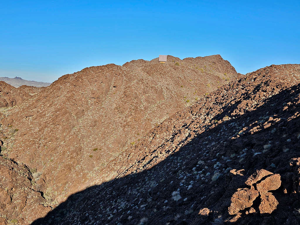
The false summit, which at that moment I was mistaking for the true summit came to view. Some type of relay equipment that I had seen on Google Earth and satellite imagery was also visible.
I then had to do a little downhill to reach a relatively flat area at the base of the false summit.
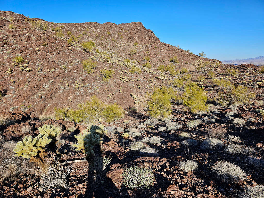
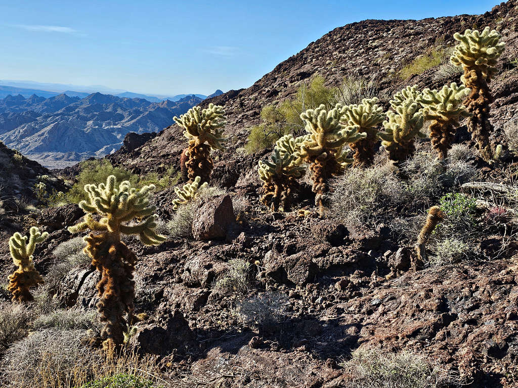
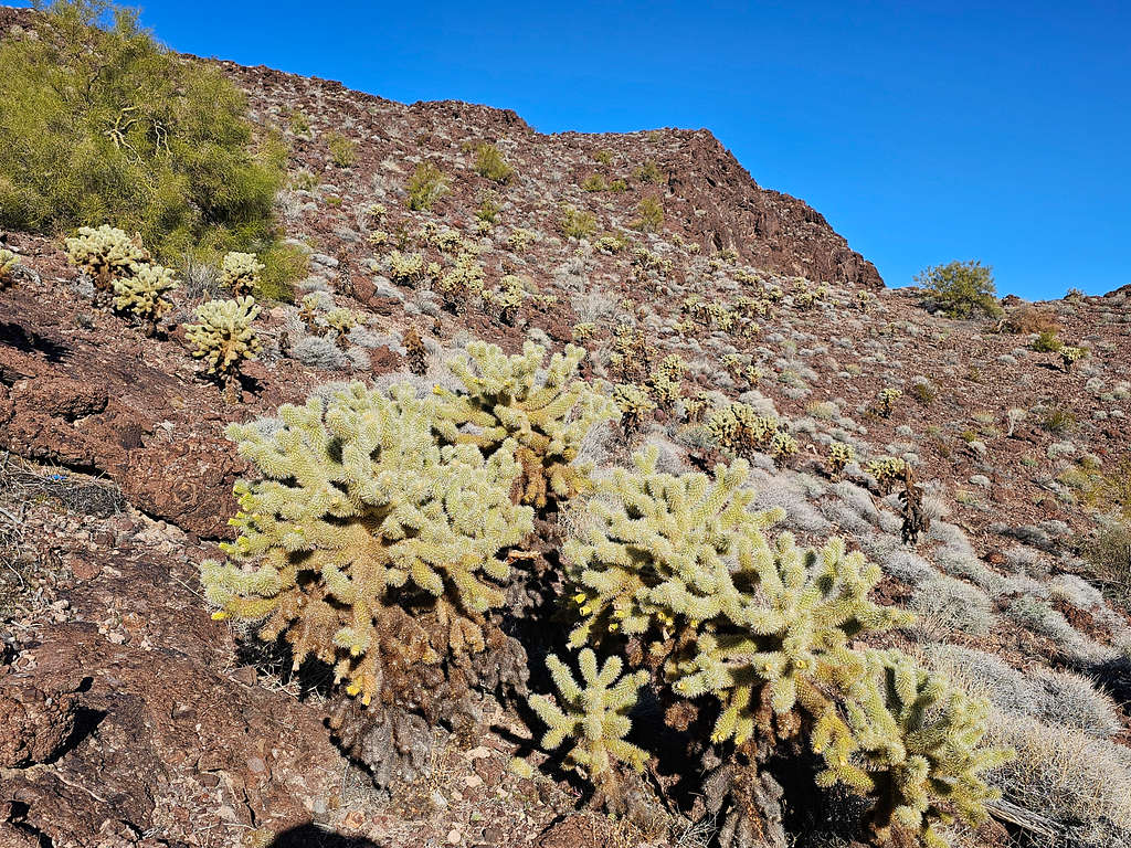
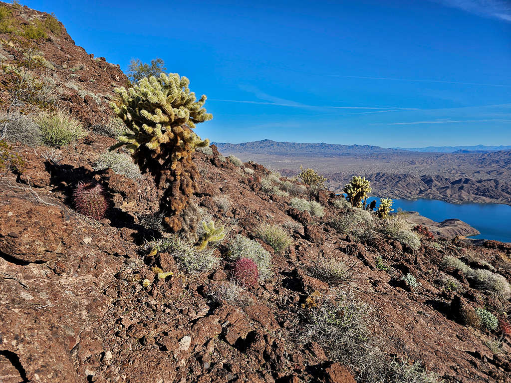
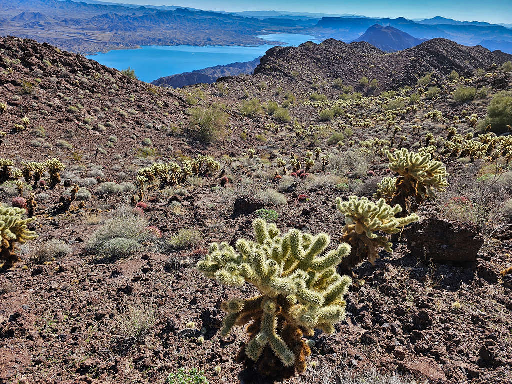
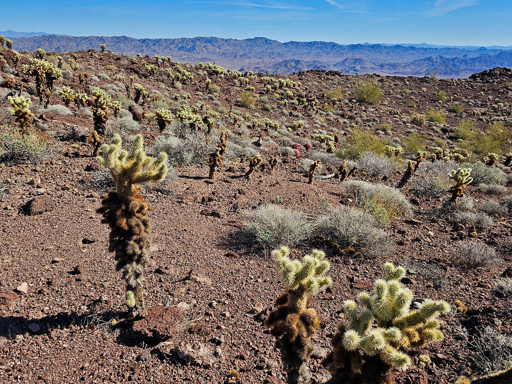
A beautiful Cholla cactus forest adorned the slopes of the false summit.
True summit from the false summit.

Black Meadow Landing from the saddle between the true and false summits.
Final push to the summit.
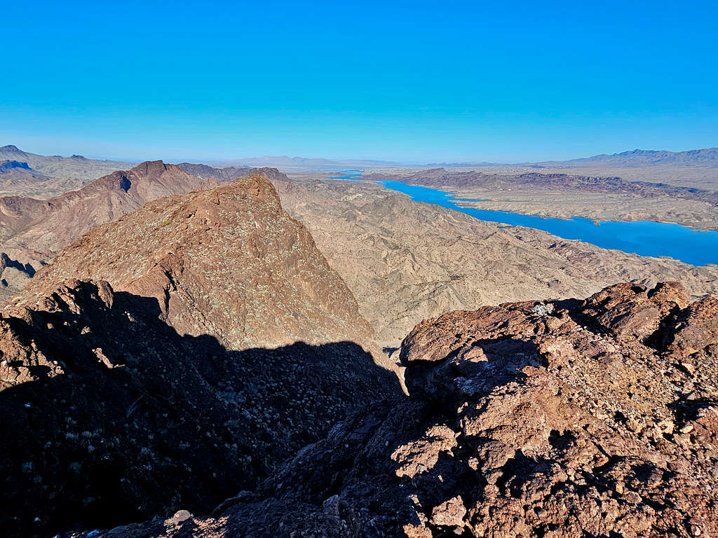
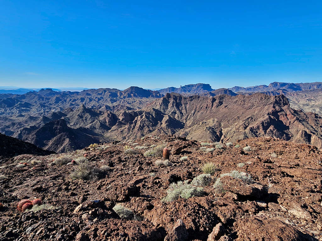
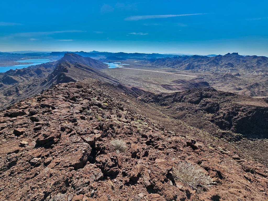
Reached the summit at 8:44 AM and 2.5 miles. Looking west/southwest at Monument Peak.
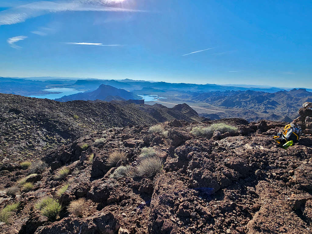
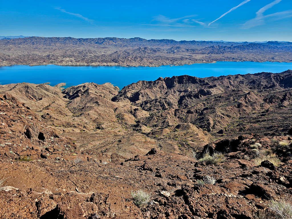
Looking northwest and north at Lake Havasu and the distant Crossman Peak. Another false summit was also seen. That false summit appears as a jagged horn from the road that goes to Black Meadow Landing.
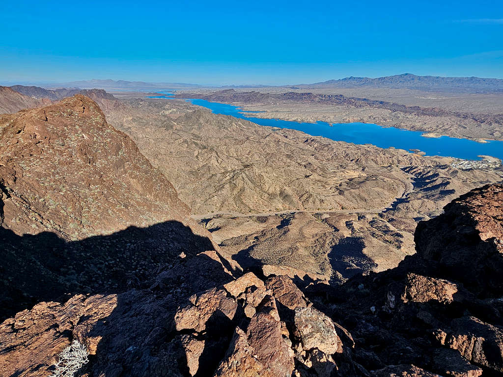
Black Meadow Landing to the north. Three Dunes area seen on the north shore of Lake Havasu. I had hiked to Three Dunes in December of 2016. Was good to see it again.
The False summit I had come from.
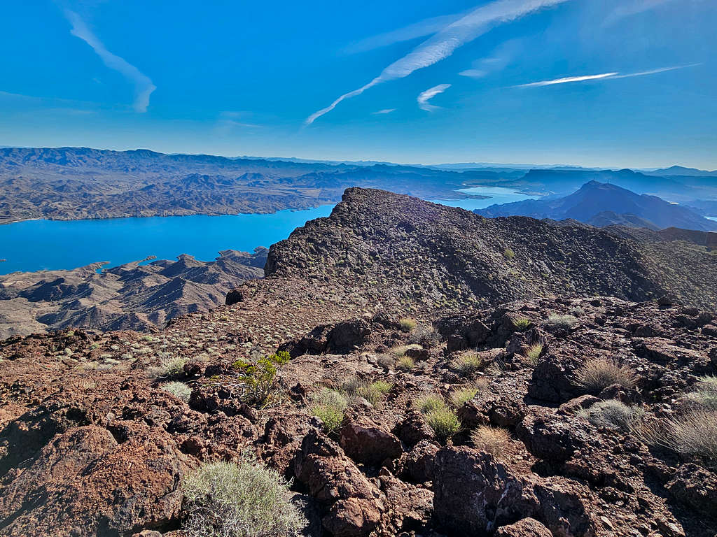
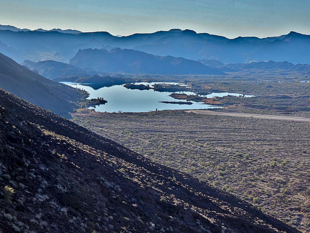
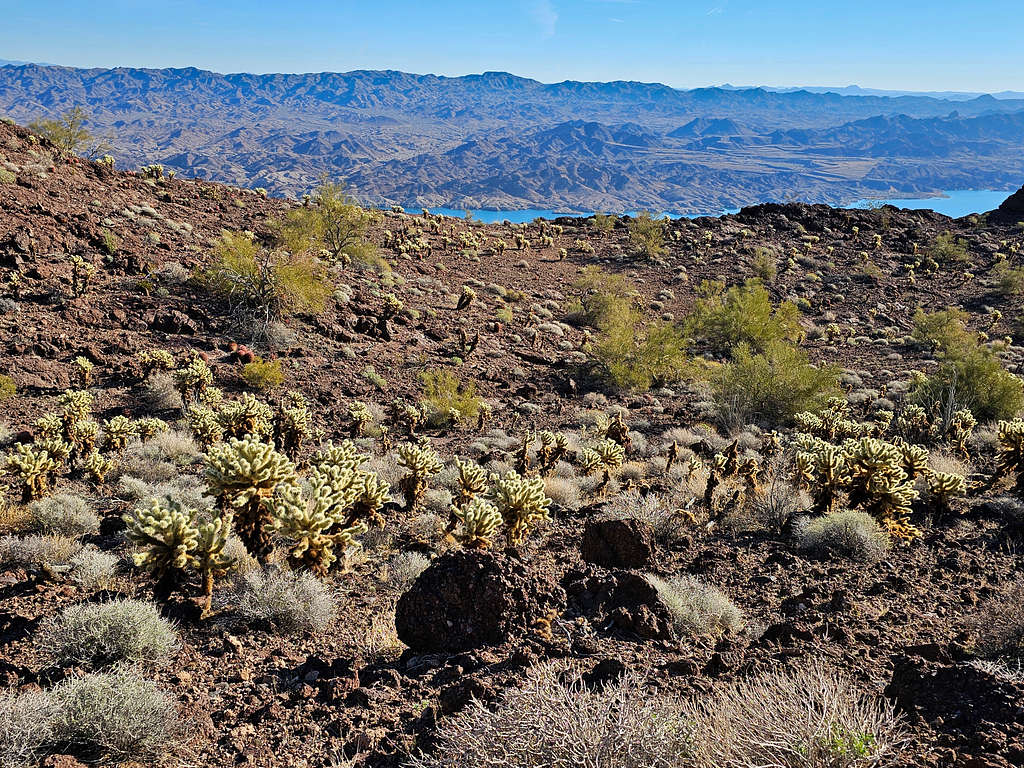
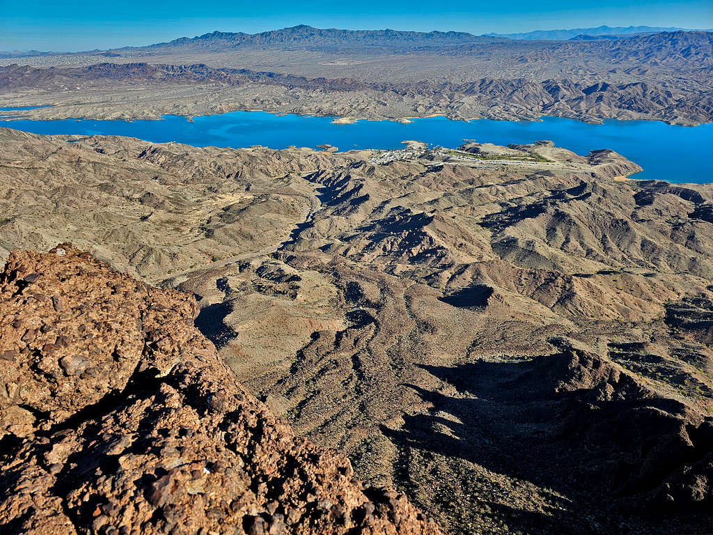
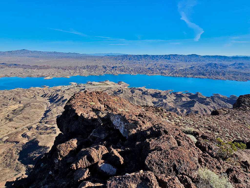
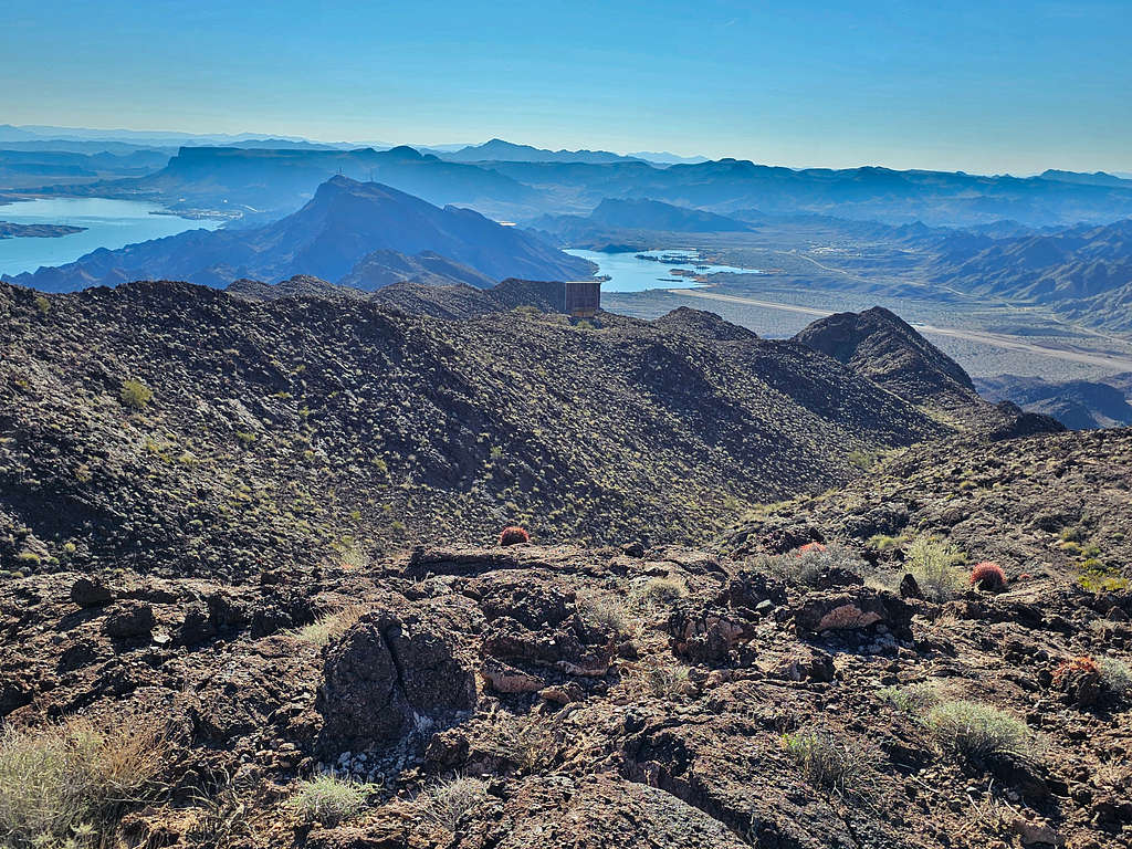
Lake Havasu on the left and Gene Wash Reservoir on the right.
Looking south/southwest at Monument Peak again.
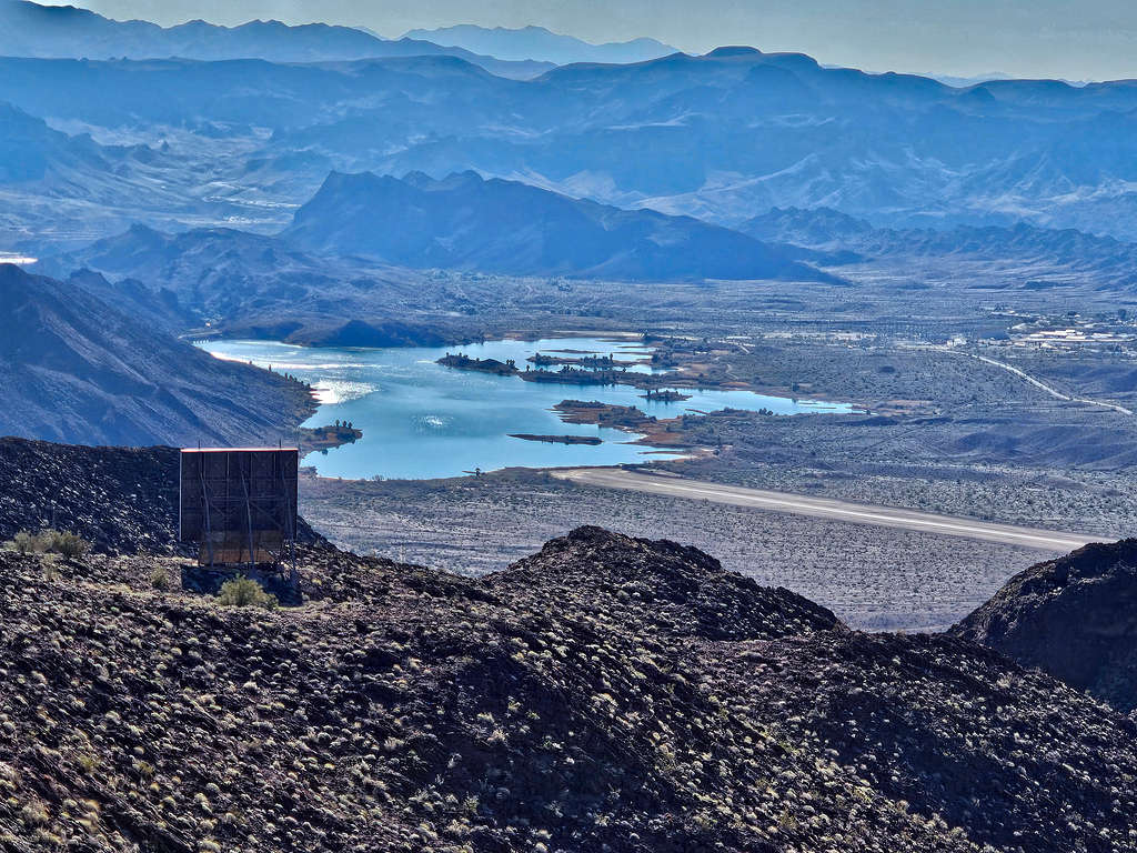
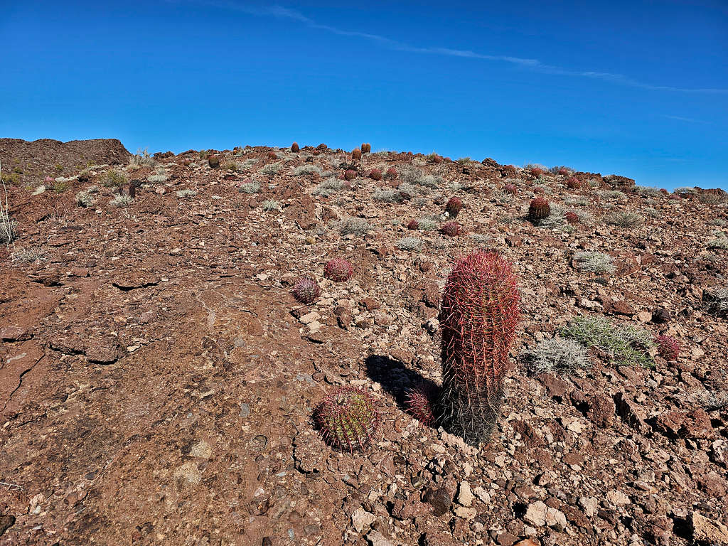
A closer view of Gene Wash Reservoir and Lake Havasu with Metal Benchmark in between them. Looking southeast. The relay device seen.
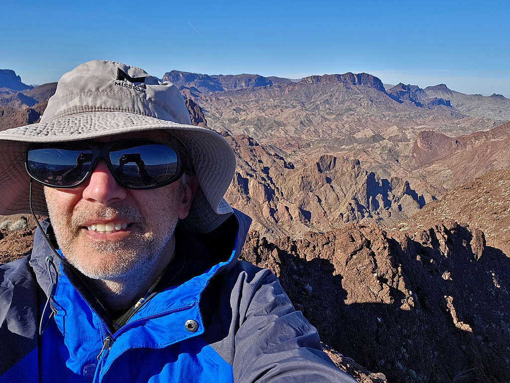
Selfie from the summit. Peak 2833 ft that I had climbed 5 days before seen on the right.
Called wife, ate and enjoyed the views, then left at 9:18 AM retracing the path I had come from. The false summit.
Zoomed view of Gene Wash Reservoir and part of its airport’s runway. The relay device is also seen.
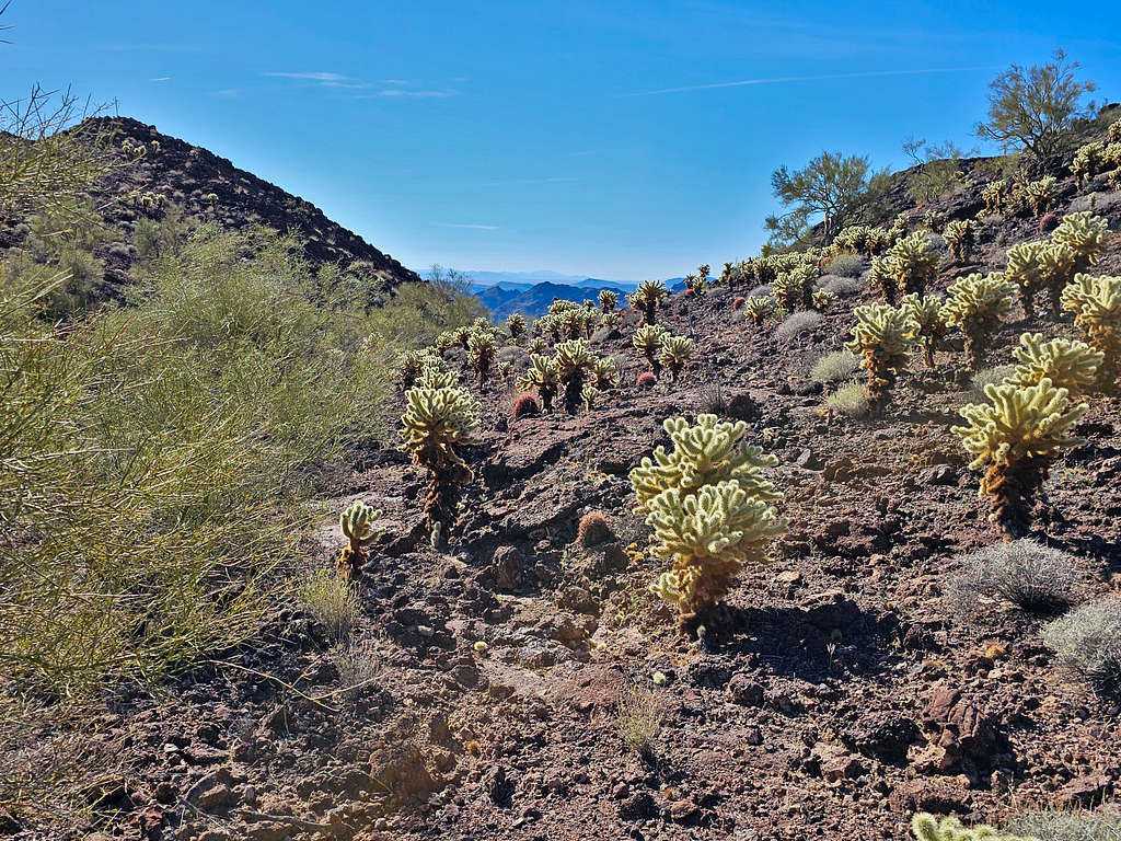
In the Cholla forest again.
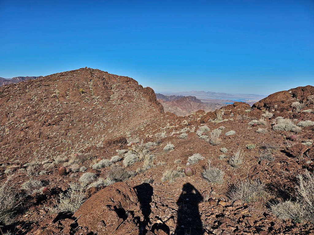
On the ridgetop.
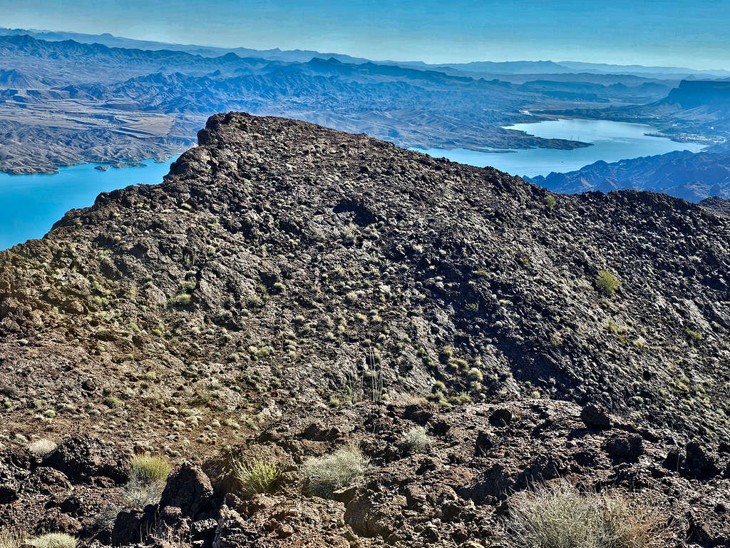
Lake Havasu from the ridgetop.
From the top of the steep rocky area.
Continued down to reach the dry riverbed at the base of the slopes.
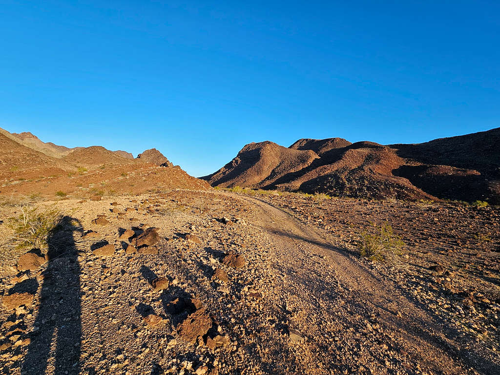
Back on the plain and then up the drainage again.
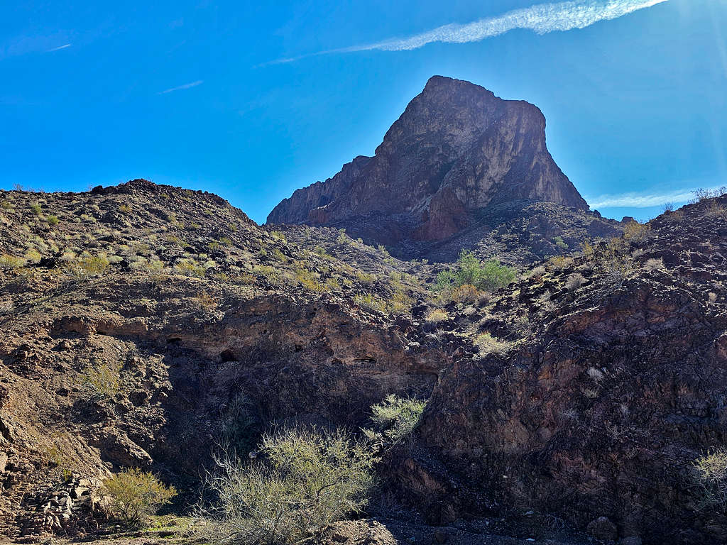
Reached my rental Jeep at 11:19 AM. I then drove on the road that went to Black Meadow Landing. Stopped at the base of Peak 2056 ft to take this picture of the horn of the subpeak I had seen from the summit.
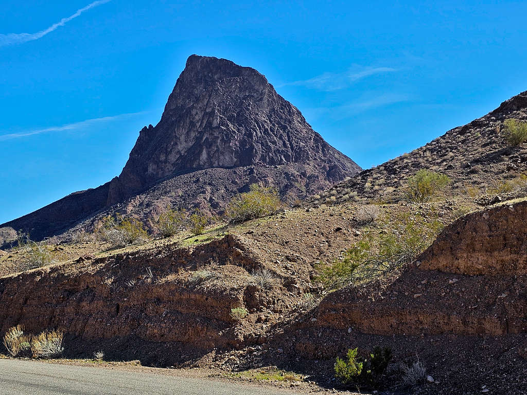
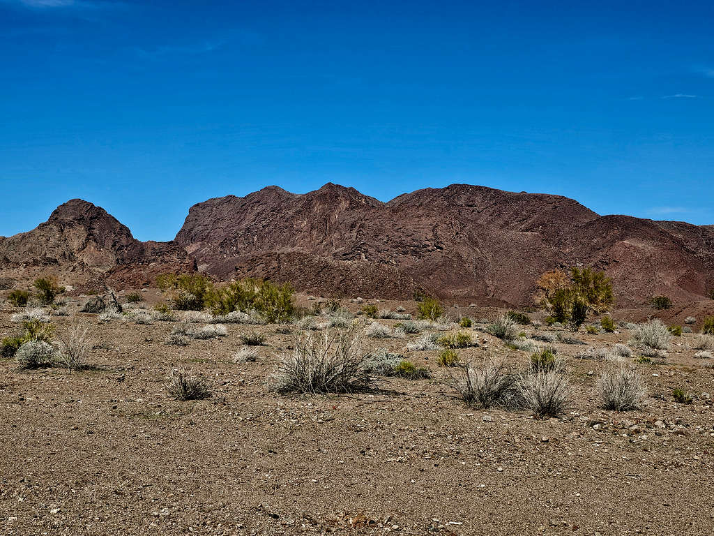
Driving back on Trail End Camp Road, I stopped at the junction with the road to Gene Wash Reservoir Airport to take this picture of Peak 2056 ft.
Red Tape
Stay away from Gene Wash Reservoir facilities otherwise, no fees or permits required.
When to Climb
Winter is the best time to climb. Summer can get deadly hot. Even spring and fall might be hot.