Toggle navigation
Mountains
Routes
Images
Trip Reports
Forum
What's New
People
Areas & Ranges
Articles
Trailheads
Canyons
Huts & Campgrounds
Albums
Logistical Centers
Fact Sheets
Lists
Custom Objects
Gear
Plans & Partners
WELCOME TO SUMMITPOST
SIGN IN
REGISTER
Pic de Léviste
Additional Parents
Image
Pic de Léviste
View High-Resolution Image
Pic de Léviste
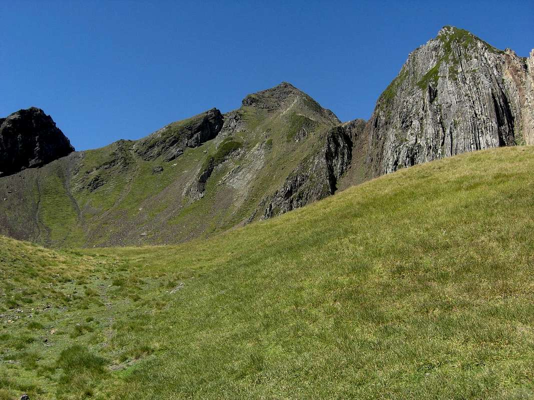
Pic de Léviste (center) as seen from point 2242 m of IGN topo map on the northern ascents to the summit. On the left is the col between Léviste and Soum Arrouy (29-08-2011)
« PREV
NEXT »
selinunte01
on
Oct 6, 2011 11:40 am
Comments & voting
Other parents
Lat/Lon:
42.92988°N / 0.02090°E
Image Type(s):
Hiking
Image ID:
751723
1131 Hits
72.08
% Score
2
Votes
Log in to vote
Comments
No comments posted yet.
to post!
Don't have an account?
Pic de Léviste
(Mountain/Rock)
« PREV
Viewing
#5 of 15
GALLERY
NEXT »
selinunte01's Image Gallery
« PREV
Viewing
#2883 of 5620
GALLERY
NEXT »
×
You need to login in order to vote!
User Name
Password
Remember me
Forgot your password?
Log me out when I close my browser.
Keep me logged in all the time.
sign in as a user
Don't have an account?
Register now for FREE
Rating available
Suggested routes for you
People who climb the same things as you
Comments Available
Create Albums
Register Here


