|
|
Mountain/Rock |
|---|---|
|
|
50.83795°N / 16.70971°E |
|
|
Download GPX » View Route on Map |
|
|
Hiking |
|
|
Spring, Summer, Fall, Winter |
|
|
1909 ft / 582 m |
|
|
Overview
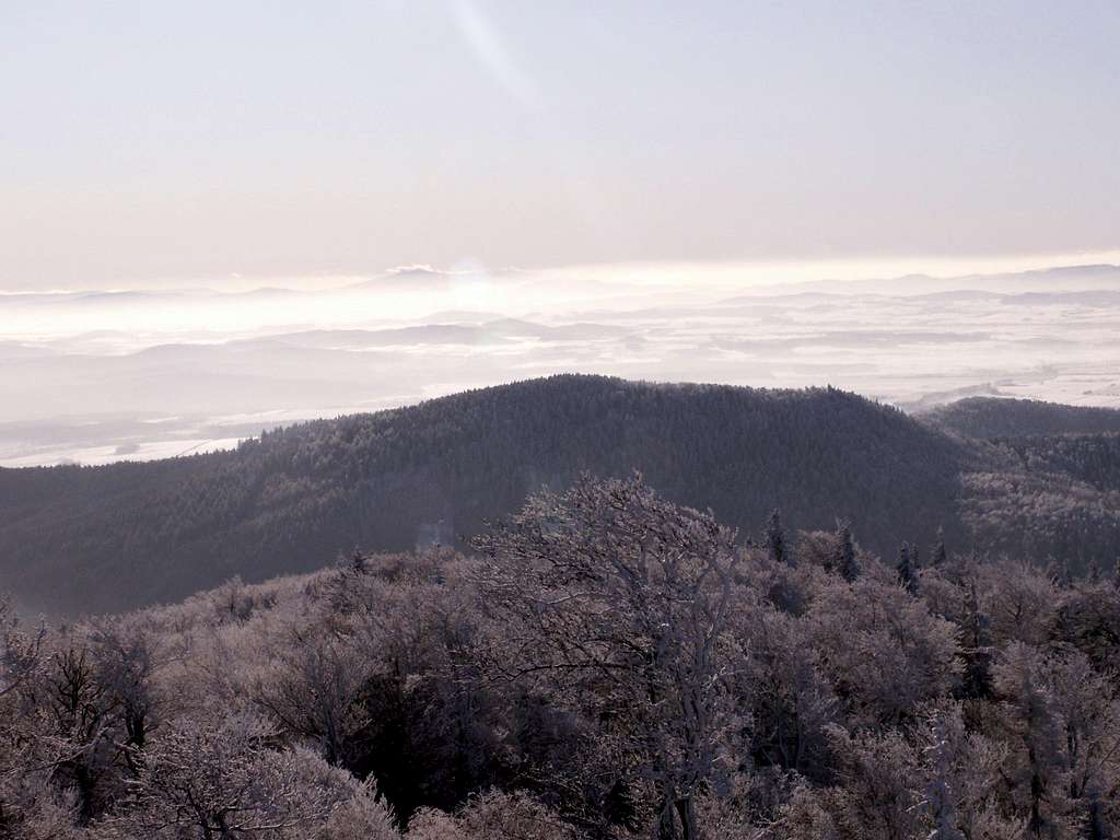
Radunia, whose German name was Geiersberg (Vulture Mountain = Sępia Góra in Polish), is the second highest hill in the Ślęża Massif. At 582m, it stands just south of its grand, 136 metres higher neighbour Ślęża, from which it is separated by przełęcz Tąpadła (Tąpadła pass, 384m). On most hiking maps, the height of Radunia is mistakenly given as 573m, which is actually the height of the western summit (M. Koślacz, A. Robak, B. Sobaszek "Analiza pomiaru wysokości wybranych wierzchołków Masywu Ślęży"), where a wooden trig tower once stood. Forest-clad and lacking an observation tower, Radunia offers very limited views, but it is my favourite climbing objective in the massif. Its advantages over Ślęża are as follows:
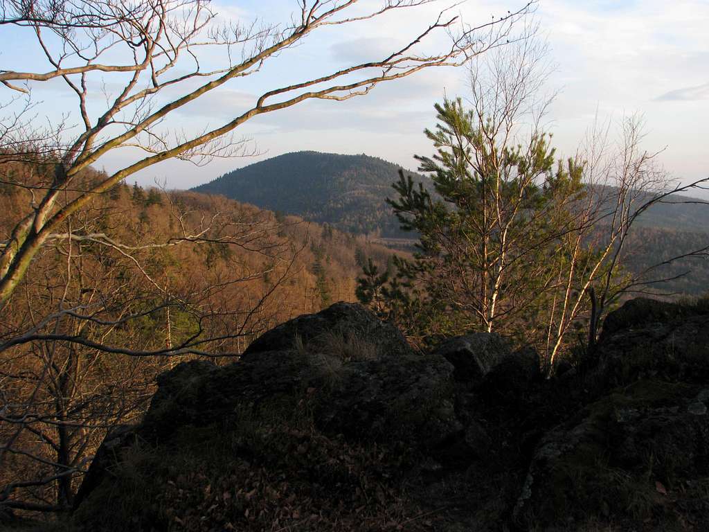
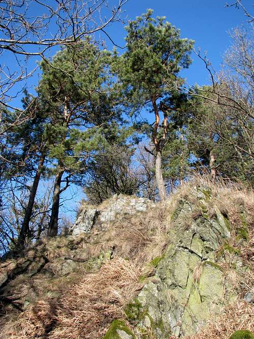
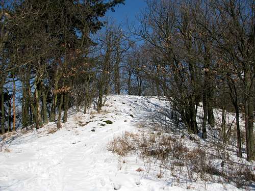
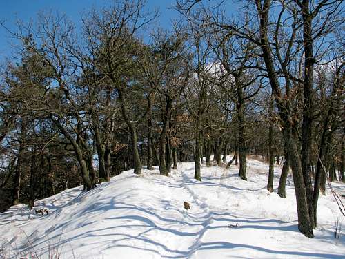
The simplest ascent of Radunia can be accomplished from the new (located south of the highway) car park at Tąpadła pass. Take the path that begins at the southwest corner of the car park, walk up and in a minute you will see blue marks. Follow them up the northwestern ridge of Radunia until you get to the border of the nature reserve, where the marks take a left turn to practically contour the northeast side of the mountain along a forest road, keeping a hiker off the reserve. But you turn right and after a few dozen metres you will see a well-trodden path heading up, along which the old blue marking should still be visible. Now an unexpectedly steep ascent of the western summit of Radunia begins. This stretch of the route may require crampons in winter. (NB The above-mentioned road that contours Radunia can be completely impassable without crampons!) From the car park at Tąpadła pass it is just about 1km to the western summit, which lies about 150m west of the main summit. The ridge between the two summits is covered by fancy xerothermic oak wood with an admixture of pine trees. The western summit gives a view towards the Sudetes, whereas the main summit offers a limited view of nearby Ślęża.
The option I normally opt for while visiting the area is a combination of the route described in the previous paragraph with a descent to/ascent from the village of Sulistrowiczki. As you can see on the online map, there are a couple of routes leading from Sulistrowiczki to Radunia (with over 300m of ascent), the most interesting of them being the longest one, taking about 1hr upwards, that involves the traverse of the east ridge of the Radunia Massif known as Dębowy Grzbiet (Oak Ridge). You head south from the T-junction in the centre of the village, along the road (first paved then dirt) leading to the Słupicka Pass at 320m (which divides Dębowy Grzbiet from the Oleszeńskie Hills). At the pass, pick the blue marks and head west.
 Radunia's serpentinite Radunia's serpentinite |
Getting There
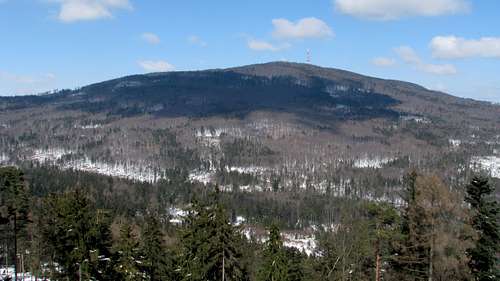
 Radunia left, Ślęża right
 Radunia from SW
A drive from Wrocław, the capital of Lower Silesia (Dolny Śląsk), to the foot of Radunia takes approximately forty minutes. You can take either DK (national road) 35 heading for Świdnica (leave the road at Mirosławice, angling left to follow the signs for Sobótka; from Sobótka drive south to Sulistrowiczki/Tąpadła) or E67 (at Jordanów Śląski turn right and head west to Świątniki, then follow the signs for Księginice Małe and Będkowice; in Będkowice turn left). The nearest car park to Radunia is located at Tąpadła pass, just about one kilometre northwest of the summit. As for public transport, there is a bus route Wrocław–Sulistrowiczki. In summer, the bus may go to Tąpadła.
Maps
Red Tape & Camping
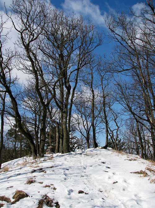
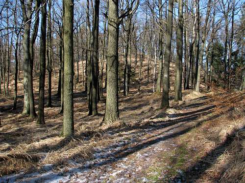
The summit area is a nature reserve which until recently was crossed by a waymarked trail running along the crest of the mountain. Since the end of 2017 the old (over a hundred years old) path running along the crest of Radunia has been closed in an awkward attempt to protect the local flora (which beyond a shadow of a doubt does not grow on the path).
 Recent ban
Another nature reserve named Łąka Sulistrowicka (Sulistrowice Meadow) is situated just south of Sulistrowiczki. Camping on the mountain is forbidden; it wouldn't make much sense anyway. The nearest campsite is in Sulistrowice, by a little dam. At Tąpadła pass, there are guesthouses and self-catering chalets to rent.
 Lotus corniculatus
When To Go & Essential Gear
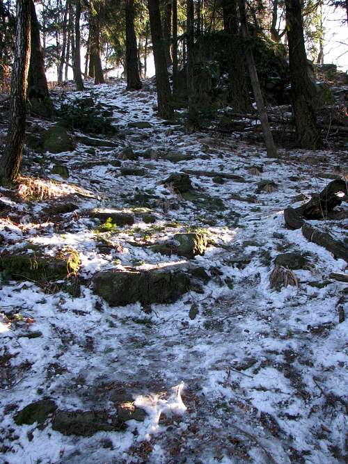
 Icy steps on NW side
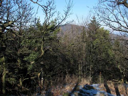
 Oaks on ridge in summer
 If possible, do not go at a weekend unless you feel like joining crowds of weekend tourists from the city of Wrocław. In winter crampons or mini-crampons are advisable. Besides icy paths on the northern slopes, in some places the dirt roads turn into ice-rinks. Beware of verglas on the innocent-looking paths near the foot of the mountain too. As for the warmer seasons, just bear in mind that ticks are not uncommon in the area.
 Tąpadła pass
External Photos: The Rampart
Old photos (taken over a century ago) of the remains of the ancient rampart can be seen on dolny-slask.org.pl.
 Radunia from Skalna
Acknowledgements
A special thanks to Romuald Kosina for his photographic contributions.