

lcarreau - Sep 22, 2007 1:29 pm - Hasn't voted
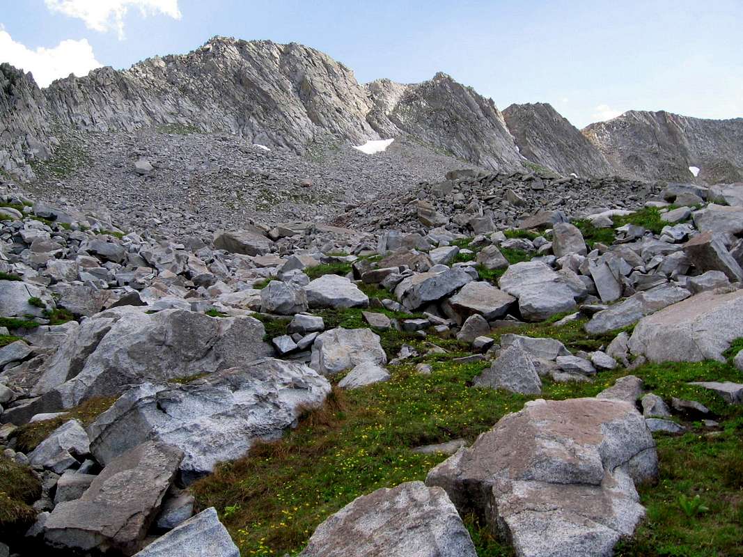
Beautiful area!I've never been on this side of the ridge - thanks for sharing it. Looks like it has received more erosion/mass wasting than the "Red Pine" side. Are these quartzite or granite blocks that gravitated down from the ridge???
The Wasatch is such a rugged & beautiful range! Can see why it attracts people. THANKS for your photo!

seanpeckham - Sep 24, 2007 2:47 pm - Hasn't voted
Re: Beautiful area!The blocks are granite. (incorrect statements edited out). The quartzite and other strata have either melted or eroded away or both (not sure which) here in the Lone Peak Wilderness, but you can see where the granite meets the quartzite/shale on the other side of Little Cottonwood Canyon.
lcarreau - Sep 29, 2007 11:53 pm - Hasn't voted
Thank you ...I'm clear on the glaciation & intrusive uplifting - guess the quarzite remained on top.
YES - these are very important events that shaped the Wasatch as we see them today. Great pictures & very informative. THANKS, Sean !!!
seanpeckham - Oct 1, 2007 5:50 pm - Hasn't voted
correction (to myself)I'm still learning my Wasatch geology; looks like I was wrong that some of the uplift was associated with the intrusion. Sorry 'bout that. The intrusion ate away some layers from underneath, then the whole thing was uplifted later.
lcarreau - Oct 2, 2007 1:43 am - Hasn't voted
No problem, Sean...No need to feel sorry. I'm just an "ARMCHAIR GEOLOGIST" myself. BUT - I have one last comment on the GRANITE. I think the technical term that geologists use for it is QUARTZ MONZONITE. Some of it was used in the construction of Utah's Capitol Building. SEE: "You got me thinking again!" Thanks, SEAN !!!


Comments
Post a Comment