
-
 3037 Hits
-
 71.06% Score
-
 1 Votes
|
|
Route |
|---|---|
|
|
46.67540°N / 12.61220°E |
|
|
Hike and Short Scramble |
|
|
Half a day |
|
|
Walk-Up |
|
|
Approach
You start out at the village Obertillach in Lesachtal. See the main page for the itinerary.
Route Description
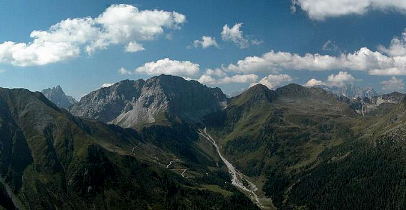
- Start altitude: 1430m, 1342 at the bridge over the Gail River
- Summit altitude: 2314m
- Prevailing exposition: E, summit block S
- Type: 1h 30min over forest roads, 1h 30min along beautiful meadow trails, 30min over the rocky summit ridge
- Protection: marked but without security
You leave the village of Obertillach aloong the road which leads into Obertillacher Tal. There are signposts to Porze and Spitzköfele. The road descends down to the Gail River and crosses the river on a bridge. Turn east sharply to follow Gailweg, the trail along the river. At the mouth of Rollertal a v road joins from the south and it is here that you head southwards into the valley.
After some 6km, at Bödenalpe (1578m) the road ends and a path starts climbing the western slopes of the valley. There are a lot of blue-, black- and raspberry bushes so take your time to get some vitamins for the ascent. At an elevation of 1900m you get above the timberline and meet the "Karnischer Höhenweg" trekking trail. This leads you steeply to the east and finally climbs the summit ridge south of Spitzköfele. Follow the south ridge to the summit (small exposure).
 |  |  |  |
Essential Gear
Normal hiking gear is sufficient. Bring warm clothes since the winds in Lesachtal can be pretty strong. The valley runs from west to east, the main wind direction in Europe.