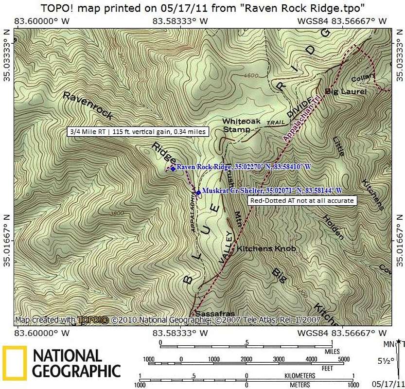
From the junction of the AT and the blue-blazed Ravenrock Ridge side trail, the overlook cliffs are less than 4/10ths of a mile and 115 feet of elevation gain. The actual Ravenrock Ridge summit can be gained in passing by side-stepping the trail while high on the ridge, before descending to the cliffs, and charging through the woods briefly where the brush looks the least bothersome. The summit is indistinct and I found no cairn or marking indicating the top had been reached.
Map designed May 2011


