Welcome to SP!  -   
 
 New features are here! - Read More... 
Areas & Ranges·Mountains & Rocks·Routes·Images·Articles·Trip Reports·Gear·Other·People·Plans & Partners·What's New·Forum

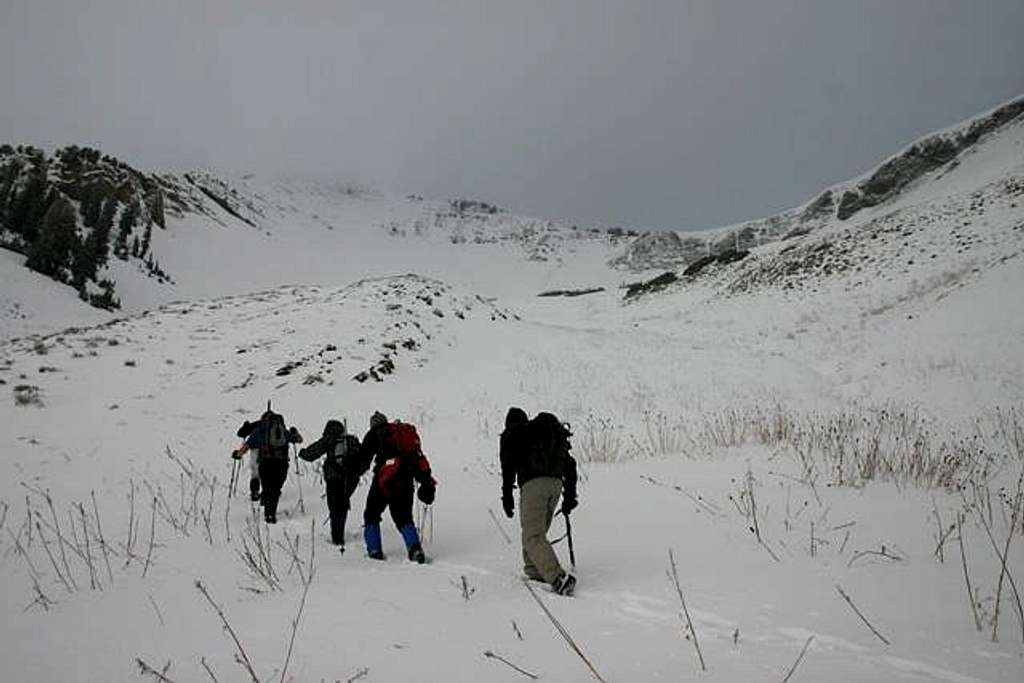
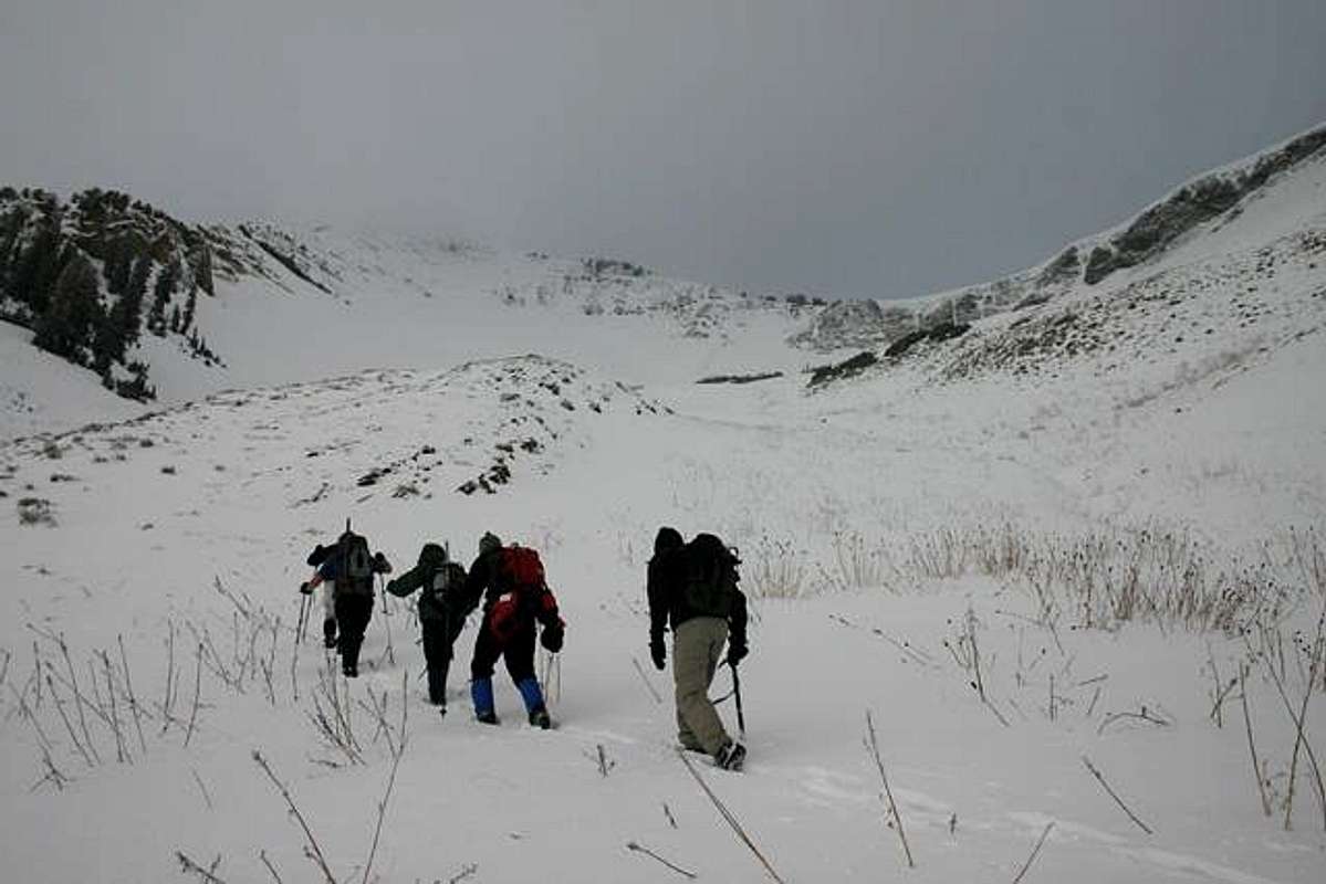
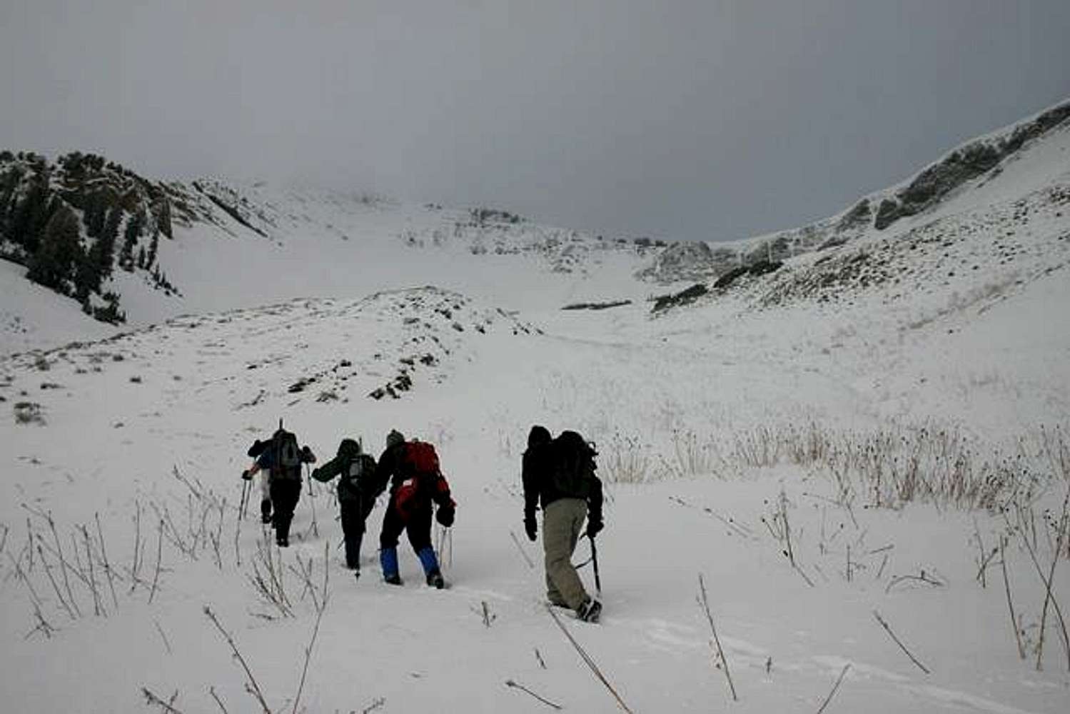
Route Picture. Once you've...

 
[ Sizes: Orig | Med | Small | Thumb ]
Route Picture. Once you\'ve...
Route Picture. Once you've exited the Nebo Bench trail and hiked the steep gully leading to Wolf Pass, you'll find the terrain open up into this wide bowl with Wolf Pass at the top. The upper section averages 33 degrees with a max of 37. Nov. 12, 2005.


Comments

No comments posted yet.


Sign in to post!

Don't have an account? Register now.


Rate This Image
Current Score: 18.92

Log In To Vote
 Mount Nebo (Mountain/Rock)

Attempting Nebo in the late...
« PREV

Viewing
#221 of 236
GALLERY
Hiking the terrain from Wolf...
NEXT »

 marauders's Image Gallery

Out of the brush and scrub...
« PREV

Viewing
#947 of 989
GALLERY
Hiking the terrain from Wolf...
NEXT »


 Nebo Bench (Route)


Image Data

maraudersSubmitted by marauders
on Nov 15, 2005 11:58 pm

Image ID: 136624
Hits: 1130 

Lat/Lon: 39.81080°N / 111.7644°W


"Fate is my only master. Destiny signs my checks."   --The Tick   

© 2006-2012 SummitPost.org. All Rights Reserved.