
-
 1077 Hits
-
 79.78% Score
-
 11 Votes
|
|
Route |
|---|---|
|
|
45.81047°N / 7.76496°E |
|
|
Hiking |
|
|
E |
|
|
Overview
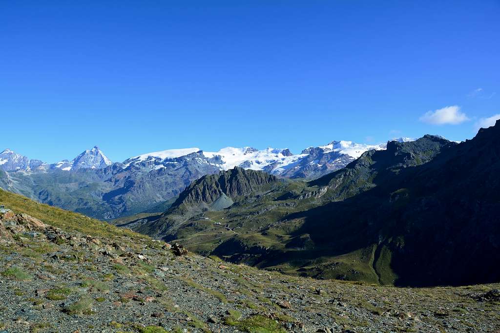
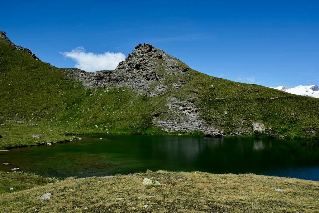
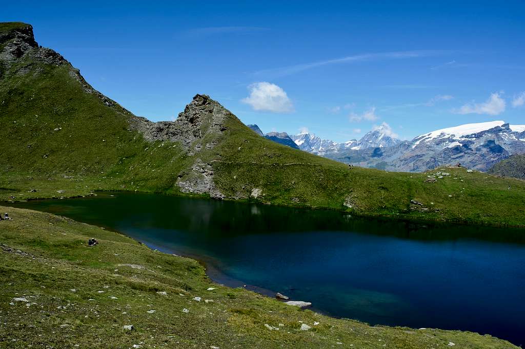
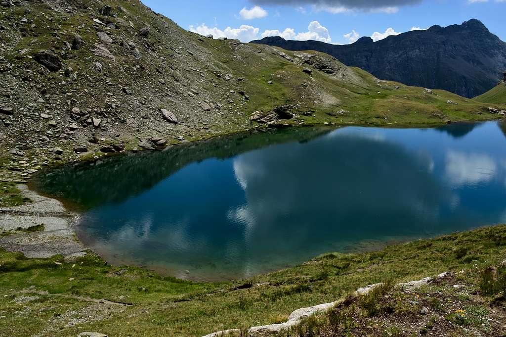
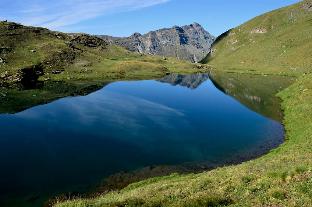
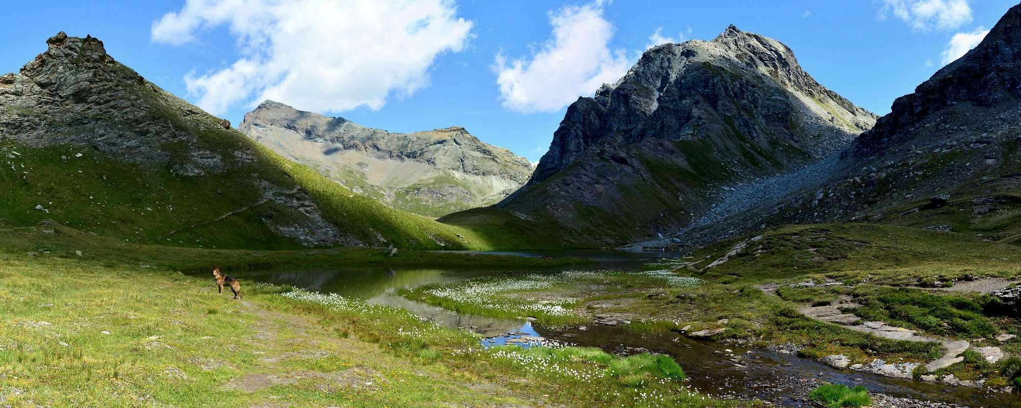
This magnificent dark green lake (2.633m) located at the foot of the homonymous peak offers to the north an exceptional spectacle on the Monte Rosa massif from the Dent D'Herens (4.171m), the Cervino or Matterhorn (4.478m) the Punta di Rollin (3.899m), the Western Breithorns (4.165m), Central (4.160m) and Eastern (4.141m), the Roccia Nera (4.065m), the Pollux (4.084m), the Castor (4.221m) and the two Western Lyskamm (4.479m) and Orientale (4.532m) while to the NE La Testa Grigia (3.315m) to the South Punta Perrin (2.974m) and to the SW Corno Bussola (3.023m) and Punta Piure (2.907m), the place certainly deserves an excursion.
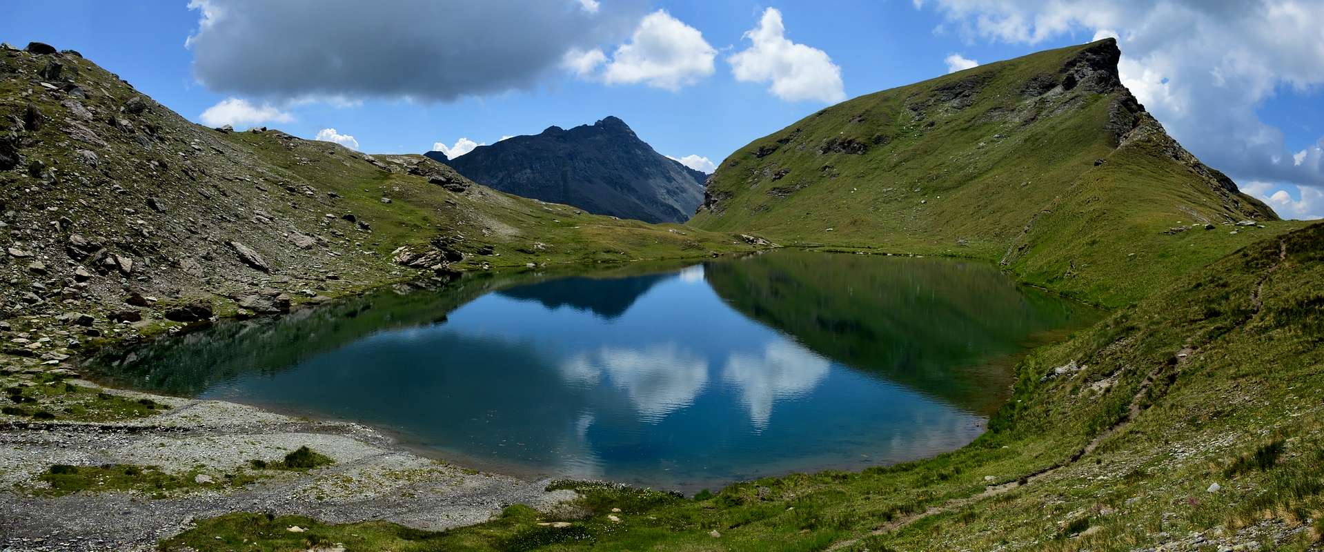 |
Questo magnifico lago (2.633 m) di colore verde scuro situato ai piedi dell'omonima cima offre a nord uno spettacolo eccezionale sul massiccio del Monte Rosa da la Dent D'Herens (4.171 m), il Cervino o Matterhorn (4.478 m) la Punta di Rollin (3.899 m) i Breithorn Occidentale (4.165 m), Centrale (4.160 m) e Orientale (4.141 m), la Roccia Nera (4.065 m), il Polluce (4.084 m), il Castore (4.221 m) e i due Lyskamm Occidentale (4.479 m) e Orientale (4.532 m) mentre a NE La Testa Grigia (3.315 m) a Sud Punta Perrin (2.974 m) e al SW Corno Bussola (3.023 m) e la Punta Piure (2.907 m) il luogo merita sicuramente un'escursione.
Getting There
- Getting in Gressoney Saint Jean or Gressoney La Trinitè or Champoluc From Torino or Milan: Motorway A5, exit in Pont Saint Martin. Follow Val di Gressoney direction or alternatively exit Verrès and follow the Val d'Ayas direction.
- From Switzerland (Tunnel or Grand Saint Bernard Pass): in Aosta Est, get into Motorway A5. Follow Torino direction, exit from A5 in Pont Saint Martin, follow Val di Gressoney direction or alternatively exit Verrès and follow the Val d'Ayas direction.
- From France (Tunnel Mont Blanc or Petit Saint Bernard Pass): get into Motorway A5, follow Torino direction, exit from A5 in Pont Saint Martin, tell a couple of bad words to the man in the box for the huge motorway fee, and follow for Val di Gressoney direction or alternatively exit Verrès and follow the Val d'Ayas direction.
 |
 |
 |
 |
 |
Route
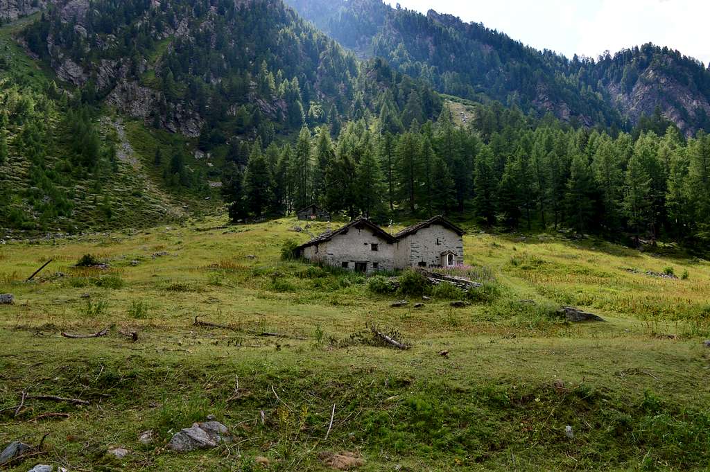
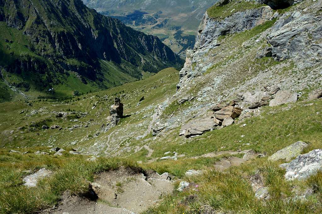
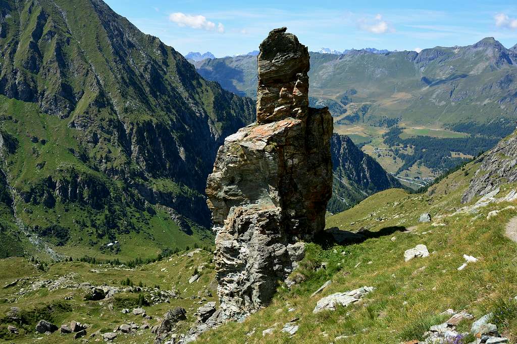
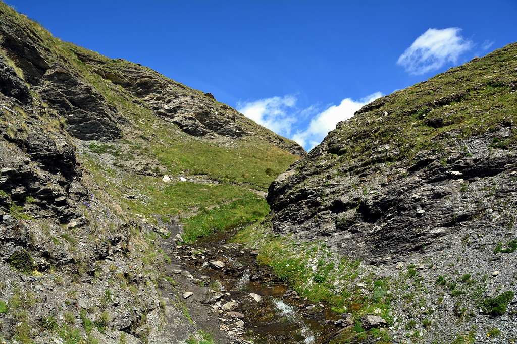
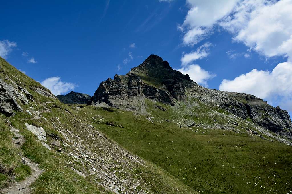
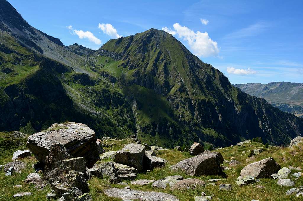
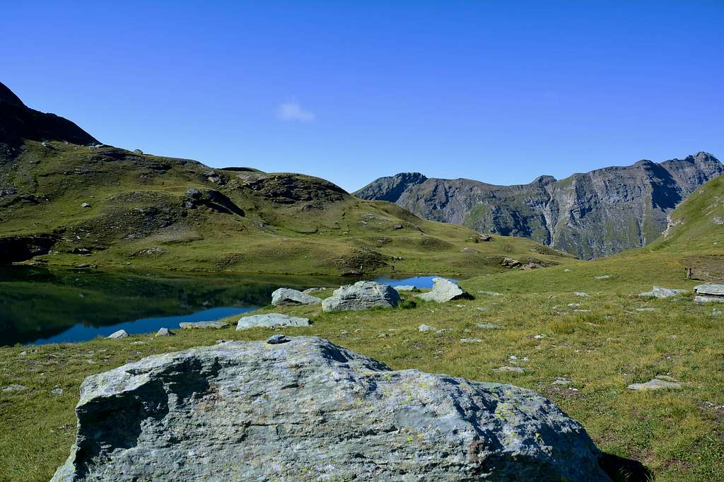
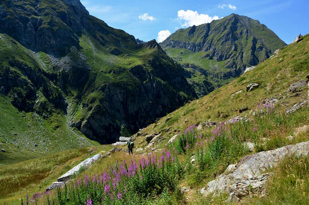
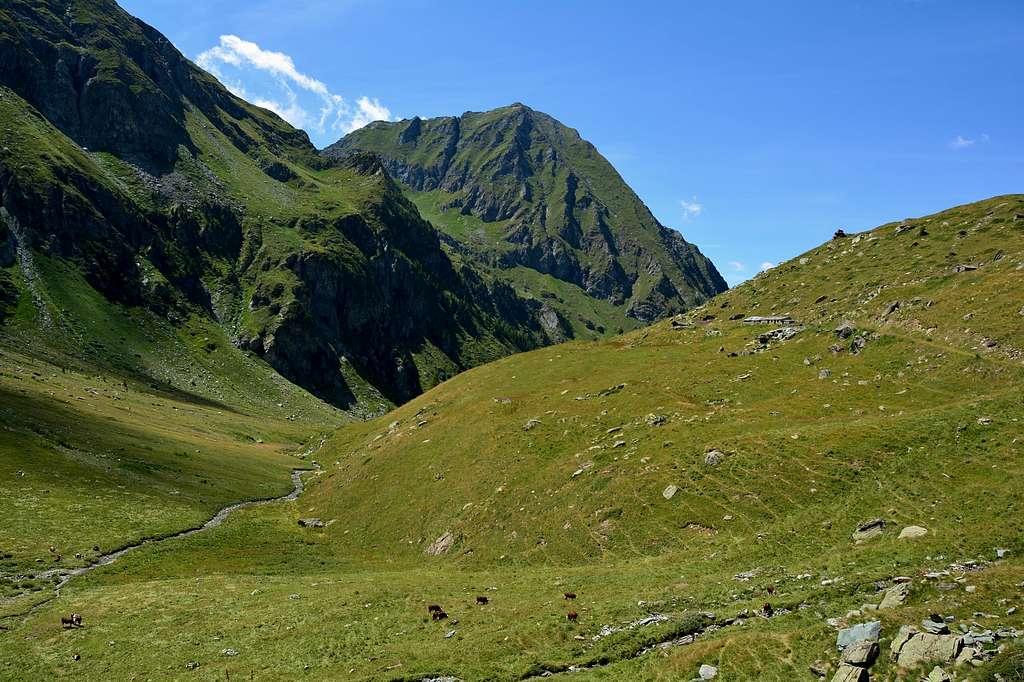
Just before the town of Champoluc, park your car near Amponey (Parking), cross the bridge and start the climb along the path n° 14B intervallivo n° 102 "Itineraires des Fromages", see the hiking map l'Escursionista n° 8 Valle d'Ayas Val di Gressoney Monte Rosa, until it joins the path n° 14 coming from Champoluc, continue to the charming town of Mascognaz (1.810m) from here continue on the farm road up to Località Chavanne (2.016m) from this point the steep path n° 1 4A starts which after passing the pastures of Diemen and Toulassa (2.100m) climbs up to meet a high rock tower at an altitude (about 2.495m) continue on some bends that are still very steep until reaching the western side of the Perrin stream here almost flat and after about 0h'10 you will be at the lake, (2.633m) 3h'00/3h'20 from Amponey.
Alternatively, you can continue along the farm road up to the Praz Sec mountain pasture (2.152m) then on the path n° 14 to the Palud mountain pasture (2.274m) from here continue on traces of the path, very little evident to then rejoin the path above n° 14A.
 |
 |
 |
 |
 |
Poco prima dell’abitato di Champoluc posteggiare l’auto nei pressi della località Amponey (Parcheggio), superare il ponte e iniziare la salita lungo il sentiero n° 14B intervallivo n° 102 “Itineraires des Fromages”, vedi cartina dei sentieri l’Escursionista n° 8 Valle d’Ayas Val di Gressoney Monte Rosa, fino a congiungersi sul sentiero n° 14 proveniente da Champoluc, continuare sino alla ridente località di Mascognaz (1.810 m) da qui continuare sulla strada poderale fino alla Località Chavanne (2.016 m) da questo punto parte il ripido sentiero n° 14A che dopo aver superato gli alpeggi di Diemen e Toulassa (2.100 m) sale fino ad incontrare un alto torrione di roccia a quota (2.495 m circa) proseguire su alcuni tornanti ancora molto ripidi fino a raggiugere il lato occidentale del Torrente Perrin qui quasi pianeggiante e dopo circa 0h’10 sarete al lago, (2.633 m) 3h’00/3h’20 da Amponey.
In alternativa si può continuare lungo la strada poderale sino all’Alpeggio Praz Sec (2.152 m) poi sul sentiero n° 14 fino all’Alpeggio Palud (2.274 m) da qui continuare su tracce di sentiero, molto poco evidenti per ricongiungersi poi al sentiero soprastante n° 14A.
Difficulty
The route can be classified E.
L'itinerario è classificato E.
Equipment
Hiking gear.
Da escursionismo.
 |
 |
 |
 |
 |
External Links
- REGIONE AUTONOMA VALLE D'AOSTA the official site.
- FONDAZIONE MONTAGNA SICURA Villa Cameron, località Villard de la Palud n° 1 Courmayeur (AO) Tel: 39 0165 897602 - Fax: 39 0165 897647.
- A.I.NE.VA. (Associazione Interregionale Neve e Valanghe).
Useful Numbers
- Protezione Civile Valdostana località Aeroporto n° 7/A Saint Christophe (Ao) Tel. 0165-238222.
- Bollettino Valanghe Tel. 0165-776300.
- Bollettino Meteo Tel. 0165-44113.
- Unità Operativa di Soccorso Sanitario Tel. 118.
 |