

|
|
Route |
|---|---|
|
|
37.42900°N / 118.7653°W |
|
|
Hiking, Scrambling |
|
|
Half a day |
|
|
hike/scramble |
|
|
Approach
As noted on the main page, the hike starts from the Mosquito Flat Traihead, west of Toms Place, accessed from 395.
Route Description
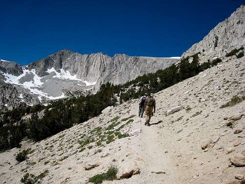
From the parking area, start hiking up the main Little Lakes Valley Trail. After a half a mile, take a right onto the Mono Pass trail. The trail continues along the mountainside towards Ruby Lake, and then climbs up above the lake, making for gorgeous views.
Once you get to the top of Mono Pass, you will need to go off trail towards the slope on your right. Scramble to the top and find the highest rocks. Mount Starr is 760' above Mono Pass. The hiking is mostly Class 2. The summit is about 4 miles from the trailhead, with an elevation gain over 2,600'.
Essential Gear
You should take all the normal gear on this hike (water, food,windbreaker. exc....). Early in the season you might need a ice axe and crampons, but during prime summer months, this is just a hike with some scrambling.