
Viewing: 1-1 of 1

MikelEntra - Sep 21, 2011 2:49 am - Hasn't voted
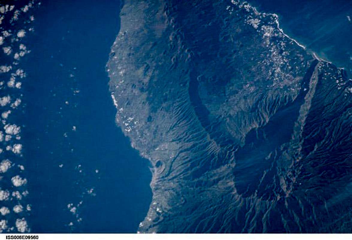
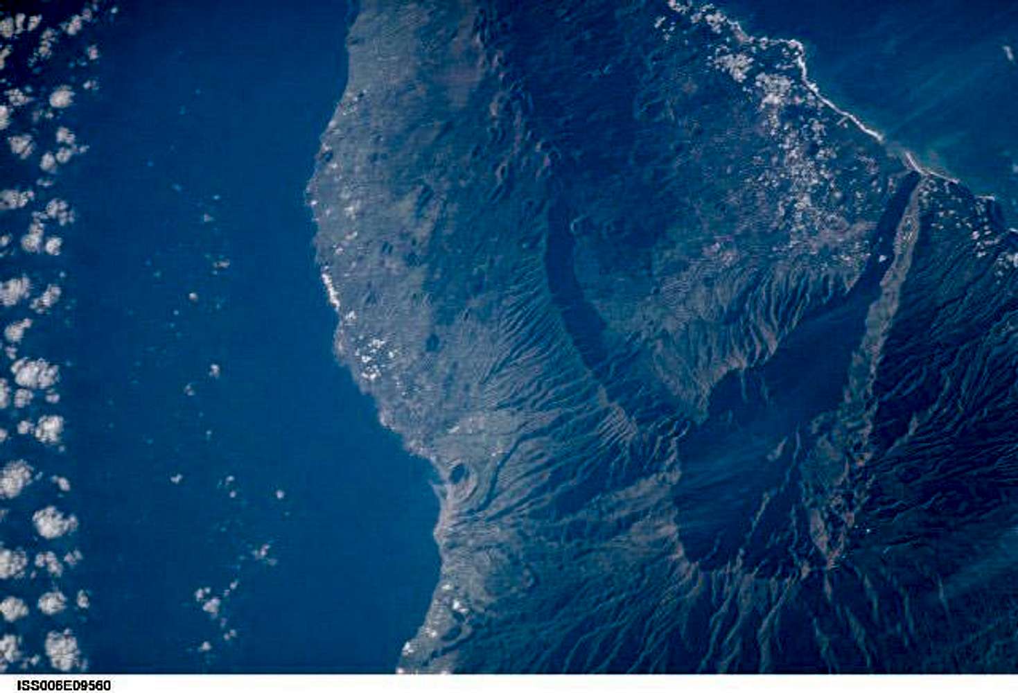
SatelliteGreat to see clearly the La Palma looks like from satellite. Great also to distinguished helpful satellite from the picture above. Speaking of satellite I read from this article UARS satellite pieces have 1 in 3,200 chance of hitting Earth that the satellite arrived at what NASA called "the end of a productive scientific life" a full six years ago. UARS is expected to come back to Earth soon. By Saturday, the satellite will re-enter the atmosphere.
Viewing: 1-1 of 1


Comments
Post a Comment